Higher Whiddon Plantation

Wood, Forest in Devon Torridge

England

Higher Whiddon Plantation

Sunny Pooh Caravan site Small caravan site in Ashwater.
Sunny Pooh Caravan site Credit: Colin Madge

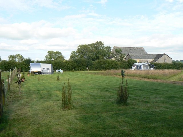
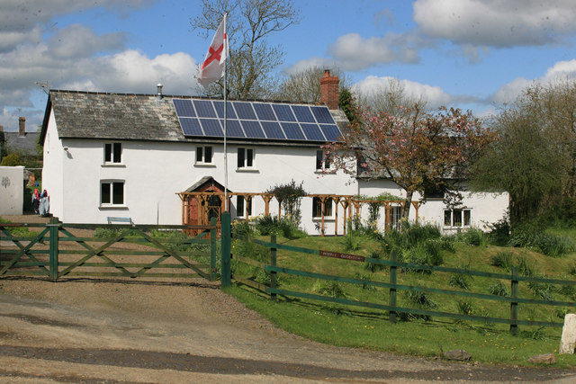
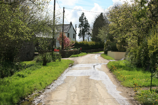
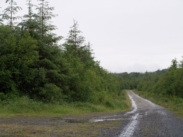
Higher Whiddon Plantation is a picturesque woodland area located in the heart of Devon, England. Spanning over several acres, this plantation is known for its stunning natural beauty and diverse ecosystem. The plantation is situated in a rural landscape, surrounded by rolling hills and meadows, making it an ideal destination for nature enthusiasts and wildlife lovers.

The woodland is primarily composed of a mixture of deciduous and coniferous trees, including oak, beech, pine, and spruce. These trees create a dense canopy that provides shade and shelter for a wide range of flora and fauna. Walking through the plantation, visitors can enjoy the tranquility of the surroundings, accompanied by the soothing sounds of birds chirping and leaves rustling in the breeze.

Higher Whiddon Plantation is also home to a variety of wildlife species. Deer, foxes, badgers, and squirrels are commonly spotted roaming the woodland, while numerous bird species, such as woodpeckers, jays, and thrushes, can be seen and heard throughout the year. The plantation attracts many birdwatchers who come to observe and document the avian activity.

This natural haven offers numerous walking trails and paths, allowing visitors to explore the plantation at their own pace. Additionally, the plantation has designated picnic areas, making it a popular spot for families and outdoor enthusiasts to enjoy a leisurely day out.

Overall, Higher Whiddon Plantation is a captivating woodland area in Devon that showcases the region's natural beauty. With its diverse flora and fauna, it offers a peaceful retreat for those seeking solace in nature.

If you have any feedback on the listing, please let us know in the comments section below.

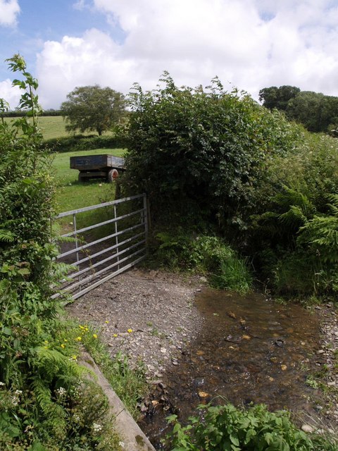
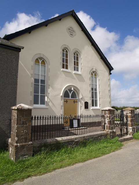
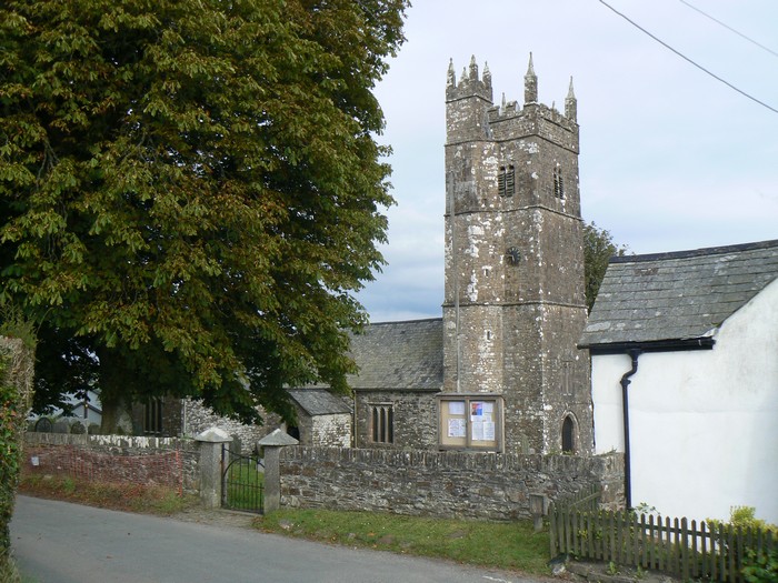
Higher Whiddon Plantation Images

Images are sourced within 2km of 50.753292/-4.2757813 or Grid Reference SX3997. Thanks to Geograph Open Source API. All images are credited.

Sunny Pooh Caravan site Small caravan site in Ashwater.
Sunny Pooh Caravan site
Small caravan site in Ashwater.
Gate / Entrance to Sunny Pooh Corner
Middle Quoditch Devon Cottage Small Devon hamlet on the road towards Hallwil
Middle Quoditch Devon Cottage
Small Devon hamlet on the road towards Hallwil
Quoditch
Quoditch
Thorney Cross, road junction
Entrance to Ashwater
Cross Lanes
Cross Lanes
Quoditchmoor Plantations The scene at a crossroads of rides in this large area of accessible woodland. On the left is a turning circle.
Quoditchmoor Plantations
The scene at a crossroads of rides in this large area of accessible woodland. On the left is a turning circle.
Bridge near Thorne Park The lane from North Thorne to Ashmill crosses a small stream in a wooded valley, about 140 metres before it joins the River Carey (to the right).
Bridge near Thorne Park
The lane from North Thorne to Ashmill crosses a small stream in a wooded valley, about 140 metres before it joins the River Carey (to the right).
Gateway near Ashmill Water from a laneside ditch crosses the entrance to this field by the lane to Thorne Park, which bends sharply left past the tree seen beyond the trailer.
Gateway near Ashmill
Water from a laneside ditch crosses the entrance to this field by the lane to Thorne Park, which bends sharply left past the tree seen beyond the trailer.
Cottage at Higher Prestacott This thatched cottage is on a bend in the lane leading from Ashmill to Sandymoor Cross.
Cottage at Higher Prestacott
This thatched cottage is on a bend in the lane leading from Ashmill to Sandymoor Cross.
Thorney Cross The main lane leads from Ashmill to Sandymoor Cross; the lane to the left has come from Ashwater. The farm is Southlands.
Thorney Cross
The main lane leads from Ashmill to Sandymoor Cross; the lane to the left has come from Ashwater. The farm is Southlands.
Bassetts One of several straight stretches on the road between Ashmill and Sandymoor Cross. The corrugated iron on the farm outbuildings sports an attractive shade of green.
Bassetts
One of several straight stretches on the road between Ashmill and Sandymoor Cross. The corrugated iron on the farm outbuildings sports an attractive shade of green.
East Venn Crows fly over the farm buildings at the end of a very white concrete road which leads past a couple of modern bungalows. East Venn is on the side of a shallow valley which drains (left) into the Dury Water.
East Venn
Crows fly over the farm buildings at the end of a very white concrete road which leads past a couple of modern bungalows. East Venn is on the side of a shallow valley which drains (left) into the Dury Water.
Farm road to Braddon A concrete road with grass down the middle leads away from the fork with the road to <a href="https://www.geograph.org.uk/photo/488342">SX3997 : East Venn</a>. Maps show plantations on the right, which have long been cleared.
Farm road to Braddon
A concrete road with grass down the middle leads away from the fork with the road to SX3997 : East Venn. Maps show plantations on the right, which have long been cleared.
View near New Buildings The line of trees dropping away on the left follows a watercourse which drains into the Henford Water, whose valley lies this side of Renson Farm, in the distant right (in SX3896). Beyond the line of trees is a small unnamed wood. The farm on the left is Berrington, in SX3897. This view, across the top of the some cattle, is from the lane near New Buildings.
View near New Buildings
The line of trees dropping away on the left follows a watercourse which drains into the Henford Water, whose valley lies this side of Renson Farm, in the distant right (in SX3896). Beyond the line of trees is a small unnamed wood. The farm on the left is Berrington, in SX3897. This view, across the top of the some cattle, is from the lane near New Buildings.
Bridge over Henford Water Henford Water drains an area west of Ashwater before joining the River Carey. Here it is crossed by a twisting lane from Blagdon Manor Cross to a junction near Thorney Cross.
Bridge over Henford Water
Henford Water drains an area west of Ashwater before joining the River Carey. Here it is crossed by a twisting lane from Blagdon Manor Cross to a junction near Thorney Cross.
Ashwater Methodist Church Information about this building dating from 1865 is at <span class="nowrap"><a title="http://www.ashwaterparish.org.uk/chapel/" rel="nofollow ugc noopener" href="http://www.ashwaterparish.org.uk/chapel/">Link</a><img style="margin-left:2px;" alt="External link" title="External link - shift click to open in new window" src="https://s1.geograph.org.uk/img/external.png" width="10" height="10"/></span> . It is a little way out of the village on the lane from Cross Lanes to Quoditch.
Ashwater Methodist Church
Information about this building dating from 1865 is at LinkExternal link . It is a little way out of the village on the lane from Cross Lanes to Quoditch.
Show me another place!

Higher Whiddon Plantation is located at Grid Ref: SX3997 (Lat: 50.753292, Lng: -4.2757813)

Administrative County: Devon

District: Torridge

Police Authority: Devon and Cornwall

What 3 Words

///warthog.envisage.flips. Near Holsworthy, Devon

Related Wikis

Quoditch

Quoditch is a hamlet in the parish of Ashwater, part of the Torridge district of Devon, England. Its nearest town is Holsworthy, which lies approximately...

Ashwater railway station

Ashwater railway station was a railway station that served the hamlets of Ashwater and Ashmill in Devon, England. It was located on the North Cornwall...

Ashwater

Ashwater is a village and civil parish in the Torridge district of Devon, England. According to the 2001 census it had a population of 651 that had risen...

Bradaford

Bradaford is a village in Devon, England.

Have you been to Higher Whiddon Plantation?

Leave your review of Higher Whiddon Plantation below (or comments, questions and feedback).