The Grove

Wood, Forest in Devon Torridge

England

The Grove

Milton Damerel village sign on the A388
Milton Damerel village sign on the A388 Credit: Roy Hughes

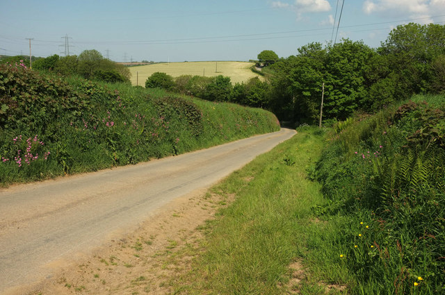
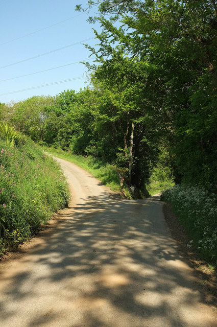
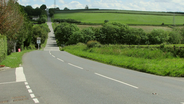
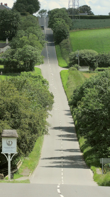
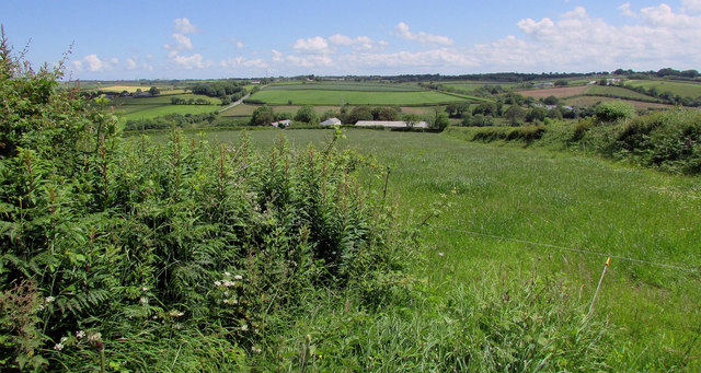
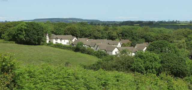
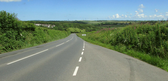
The Grove in Devon is a picturesque woodland area located in the heart of the county. Spanning over several acres, it is known for its lush greenery, ancient trees, and diverse wildlife. The Grove is situated near the village of Devonshire and attracts nature enthusiasts, hikers, and photographers from near and far.

The woodland is predominantly composed of native trees such as oak, beech, and birch, which create a dense canopy overhead, allowing only specks of sunlight to filter through. This creates a tranquil and mysterious atmosphere that makes it a perfect destination for those seeking solace in nature. The forest floor is covered with a thick carpet of moss, adding to the enchanting ambiance.

The Grove is home to a wide variety of fauna. Visitors can expect to spot deer, foxes, owls, and a plethora of bird species. The area also features a small stream that meanders through the woodland, providing a refreshing sight and a source of water for the wildlife.

There are several well-marked trails within The Grove, allowing visitors to explore its beauty at their own pace. These trails wind through the forest, leading to scenic viewpoints and hidden clearings that offer breathtaking views of the surrounding countryside.

The Grove is a popular spot for outdoor activities such as hiking, birdwatching, and photography. It is also a designated nature reserve, ensuring the preservation of its natural beauty for generations to come. Whether one is seeking solitude, adventure, or a deeper connection with nature, The Grove in Devon is a haven that promises an unforgettable experience.

If you have any feedback on the listing, please let us know in the comments section below.

The Grove Images

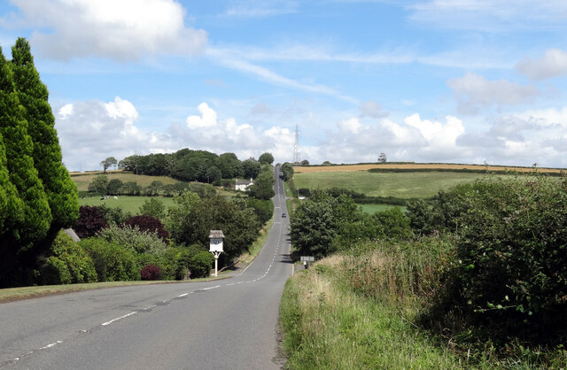
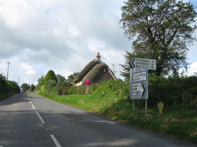
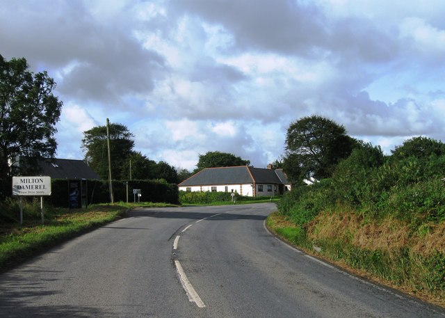
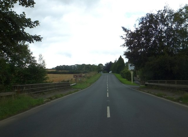
Images are sourced within 2km of 50.890802/-4.2890634 or Grid Reference SS3912. Thanks to Geograph Open Source API. All images are credited.

Milton Damerel village sign on the A388
W Sanders & Sons Gulf Garage on the A388
A hedge topping Triangulation Pillar standing beneath Power Lines at Derworthy Looking south-westward from the lane.
A hedge topping Triangulation Pillar standing beneath Power Lines at Derworthy
Looking south-westward from the lane.
Rushy field, Milton Damerel From the lane east of the main part of the village. A narrow belt of woodland accompanies Fishpool Lake, a tributary of the Waldon.
Rushy field, Milton Damerel
From the lane east of the main part of the village. A narrow belt of woodland accompanies Fishpool Lake, a tributary of the Waldon.
Barley near Bulkworthy With wind turbines in <a href="https://www.geograph.org.uk/gridref/SS4015">SS4015</a>; the nearest is on Eastacott Moor.
Barley near Bulkworthy
With wind turbines in SS4015; the nearest is on Eastacott Moor.
Lane from Bulkworthy <a href="https://www.geograph.org.uk/photo/5790627">SS3914 : Barley near Bulkworthy</a> was taken across the lane from here. As the lane drops into the wooded valley of Cleave Lake, it forks. The two branches both lead up to the road between Thorne Moor and Downmoor Cross.
Lane from Bulkworthy
SS3914 : Barley near Bulkworthy was taken across the lane from here. As the lane drops into the wooded valley of Cleave Lake, it forks. The two branches both lead up to the road between Thorne Moor and Downmoor Cross.
Fork in the lane from Bulkworthy The right fork drops quickly to cross Cleave Lake and climb steeply up the far valley side, while the left fork briefly follows the stream through woodland.
Fork in the lane from Bulkworthy
The right fork drops quickly to cross Cleave Lake and climb steeply up the far valley side, while the left fork briefly follows the stream through woodland.
A388 at Woodford Bridge From the entrance to Woodford Bridge Country Club, with the main road swooping down to cross the River Torridge.
A388 at Woodford Bridge
From the entrance to Woodford Bridge Country Club, with the main road swooping down to cross the River Torridge.
A388 at Woodford Bridge A detail of the scene in <a href="https://www.geograph.org.uk/photo/6192625">SS3912 : A388 at Woodford Bridge</a>. The crossroads partway up the hill is across a grid line in <a href="https://www.geograph.org.uk/gridref/SS4012">SS4012</a>.
A388 at Woodford Bridge
A detail of the scene in SS3912 : A388 at Woodford Bridge. The crossroads partway up the hill is across a grid line in SS4012.
West Bridge Farm Or is it Woodland View? Maps differ. This view of it is from a gateway by a lay-by on the A388. Beyond is the Torridge valley.
West Bridge Farm
Or is it Woodland View? Maps differ. This view of it is from a gateway by a lay-by on the A388. Beyond is the Torridge valley.
Woodford Bridge Country Club A holiday accommodation development close to the River Torridge.
Woodford Bridge Country Club
A holiday accommodation development close to the River Torridge.
A388 approaching Woodford Bridge Descending past the lay-by where <a href="https://www.geograph.org.uk/photo/6192704">SS3912 : Woodford Bridge Country Club</a> and <a href="https://www.geograph.org.uk/photo/6192699">SS3912 : West Bridge Farm</a> were taken.
A388 approaching Woodford Bridge
Descending past the lay-by where SS3912 : Woodford Bridge Country Club and SS3912 : West Bridge Farm were taken.
A388 near Woodford Bridge Looking in the opposite direction from where <a href="https://www.geograph.org.uk/photo/6192625">SS3912 : A388 at Woodford Bridge</a> was taken. On the right is a road servicing Meadowside Cottage.
A388 near Woodford Bridge
Looking in the opposite direction from where SS3912 : A388 at Woodford Bridge was taken. On the right is a road servicing Meadowside Cottage.
The A338 approaching Woodford Bridge
A388 southwest , Forestreet
Entrance to Milton Damerel
Woodford Bridge over River Torridge
Whitebear Cross, Milton Damerel The main road curves to the right.  A minor road leads ahead to Whitebear, and a footpath leads to the left from the lay-by.
Whitebear Cross, Milton Damerel
The main road curves to the right. A minor road leads ahead to Whitebear, and a footpath leads to the left from the lay-by.
Show me another place!

The Grove is located at Grid Ref: SS3912 (Lat: 50.890802, Lng: -4.2890634)

Administrative County: Devon

District: Torridge

Police Authority: Devon and Cornwall

What 3 Words

///tonality.gourmet.plastic. Near Holsworthy, Devon

Related Wikis

Abbots Bickington

Abbots Bickington is a village and civil parish in the English county of Devon, located 7.7 mi (12.4 km) north-northeast of Holsworthy and near the River...

Bulkworthy

Bulkworthy is a village and civil parish in the Torridge district of Devon, England, about 9 miles southwest of Great Torrington, and on the River Torridge...

Torridge District

Torridge is a local government district in north-west Devon, England. Its council is based in the town of Bideford. The district also includes the towns...
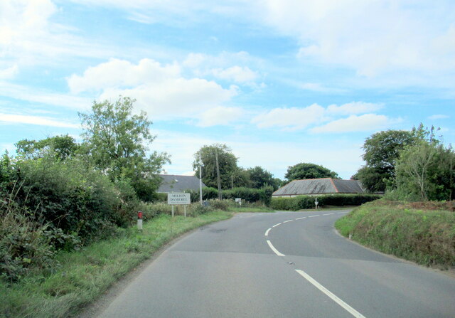
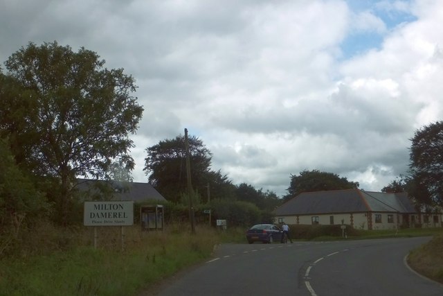
Milton Damerel

Milton Damerel is a village, parish and former manor in north Devon, England. Situated in the political division of Torridge, on the river Waldon, it covers...

Nearby Amenities

Located within 500m of 50.890802,-4.2890634
Power: tower
Lat/Long: 50.8944117/-4.2873295
Power: tower
Lat/Long: 50.8933009/-4.2915032
The data included in this document is from www.openstreetmap.org. The data is made available under ODbL.

Have you been to The Grove?

Leave your review of The Grove below (or comments, questions and feedback).