Kellybeare Moor Plantation
Wood, Forest in Devon West Devon
England
Kellybeare Moor Plantation

Kellybeare Moor Plantation, located in Devon, England, is a serene and expansive woodland area known for its diverse flora and fauna. Covering an area of approximately 500 acres, the plantation is situated in the heart of the Dartmoor National Park, making it a popular destination for nature lovers, hikers, and photographers.
The plantation is predominantly composed of mixed woodland, with a variety of tree species such as oak, beech, birch, and conifers creating a stunning and ever-changing landscape throughout the year. The trees provide ample shade and shelter for a wide range of wildlife, including birds, small mammals, and insects.
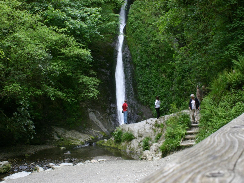
Traversing through the plantation, visitors can explore a network of well-maintained footpaths and trails, allowing them to immerse themselves in the natural beauty of the area. The paths wind through the woodland, offering glimpses of enchanting glades, babbling brooks, and picturesque ponds. These features make Kellybeare Moor Plantation a popular spot for family walks, picnics, and even educational outings.
The plantation is also home to a rich variety of plant species, including vibrant wildflowers, ferns, and mosses. During spring and summer, the woodland bursts into a riot of colors, with bluebells, primroses, and foxgloves carpeting the forest floor.
Kellybeare Moor Plantation is a true haven for nature enthusiasts, providing a tranquil escape from the hustle and bustle of everyday life. Whether it's a leisurely stroll or a more adventurous hike, this woodland paradise offers a unique and awe-inspiring experience for all who visit.
If you have any feedback on the listing, please let us know in the comments section below.
Kellybeare Moor Plantation Images
Images are sourced within 2km of 50.623167/-4.2761927 or Grid Reference SX3982. Thanks to Geograph Open Source API. All images are credited.


Kellybeare Moor Plantation is located at Grid Ref: SX3982 (Lat: 50.623167, Lng: -4.2761927)
Administrative County: Devon
District: West Devon
Police Authority: Devon and Cornwall
What 3 Words
///building.gravel.bandwagon. Near Lifton, Devon
Nearby Locations
Related Wikis
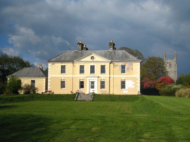
Kelly House, Devon
Kelly House is a Grade I listed country house and estate located in the village of Kelly, in Devon, England. The estate has been the property of the Kelly...
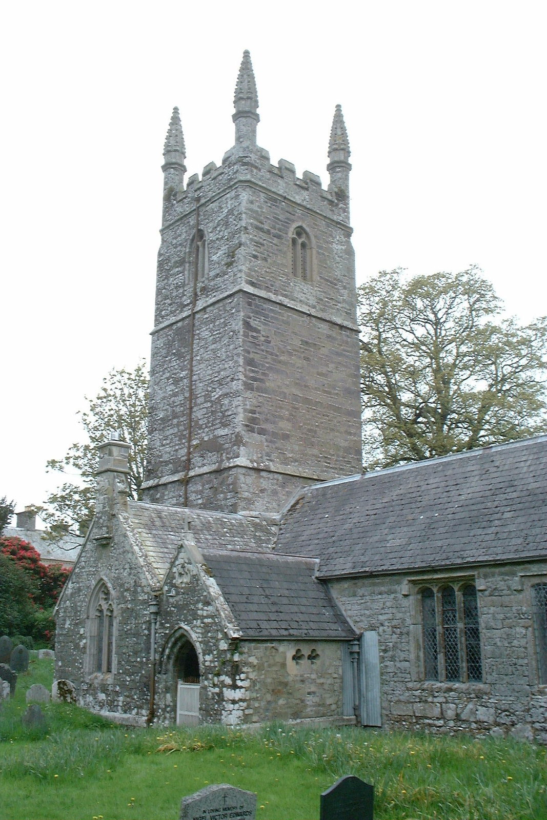
Kelly, Devon
Kelly is a small village in west Devon, England. The village church is largely Perpendicular of the 15th century but the chancel is earlier than the rest...
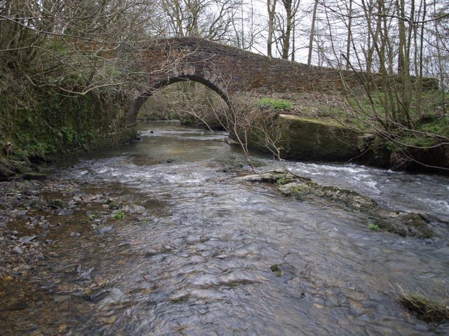
River Thrushel
The River Thrushel is a river in Devon, England. The Thrushel runs westerly from its source near Meldon to Tinhay, where it joins the River Wolf. The river...
River Lyd, Devon
The Lyd is a river rising at Lyd Head (Corn Ridge in NW Dartmoor) in the Dartmoor national park in Devon in South West England and flowing into the River...
Nearby Amenities
Located within 500m of 50.623167,-4.2761927Have you been to Kellybeare Moor Plantation?
Leave your review of Kellybeare Moor Plantation below (or comments, questions and feedback).