Southern Moor Plantation

Wood, Forest in Devon Torridge

England

Southern Moor Plantation

Memorial to crew of Halifax crash in 1944
Memorial to crew of Halifax crash in 1944 Credit: David Smith

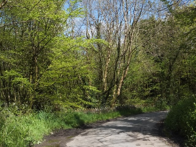
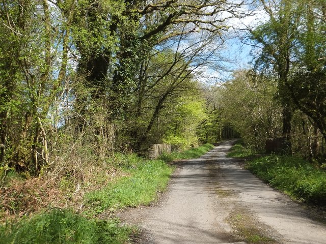
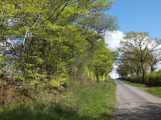
Southern Moor Plantation is a picturesque woodland area located in the county of Devon, England. Covering an extensive area, it is known for its diverse range of trees and enchanting natural beauty. The plantation is situated in the southern part of Dartmoor National Park, making it a popular destination for nature enthusiasts and hikers.

The woodland is primarily composed of broadleaf trees such as oak, beech, and birch, which create a vibrant and lush environment. These trees provide a habitat for a variety of wildlife, including deer, squirrels, and a plethora of bird species. The plantation is also home to a rich assortment of plant life, with wildflowers and ferns dotting the forest floor.

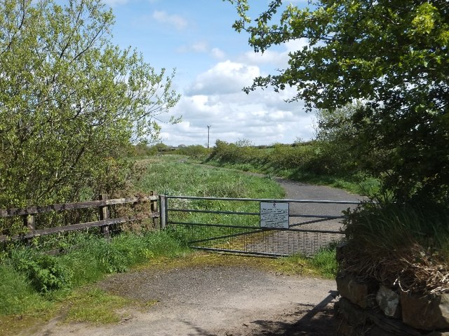
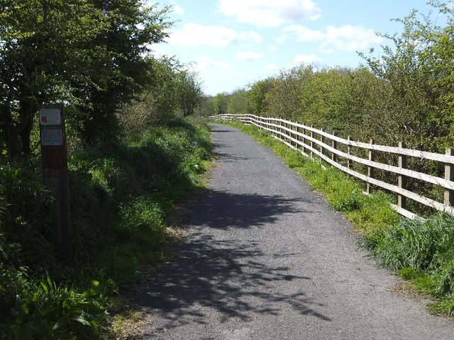
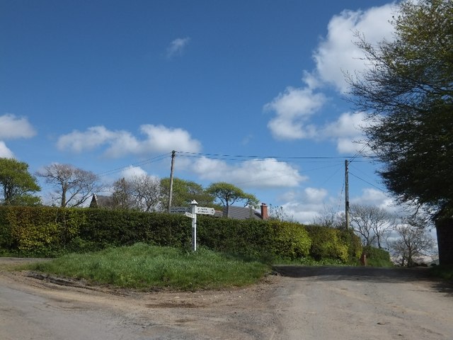
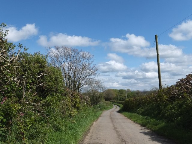
Visitors to Southern Moor Plantation can explore its numerous walking trails, which wind through the woodland and offer breathtaking views of the surrounding countryside. The plantation is also intersected by a small stream, adding to its tranquil and idyllic atmosphere. Additionally, there are designated picnic areas where visitors can relax and enjoy the peaceful surroundings.

The management of Southern Moor Plantation is committed to preserving its natural beauty and biodiversity. Conservation efforts include regular tree maintenance, invasive species control, and the promotion of sustainable practices. These measures ensure the continued health and longevity of the woodland ecosystem.

Overall, Southern Moor Plantation offers a serene and captivating experience for those seeking a connection with nature. Its stunning landscape, diverse flora and fauna, and commitment to conservation make it a cherished natural treasure in the heart of Devon.

If you have any feedback on the listing, please let us know in the comments section below.

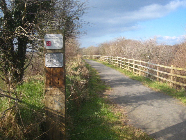
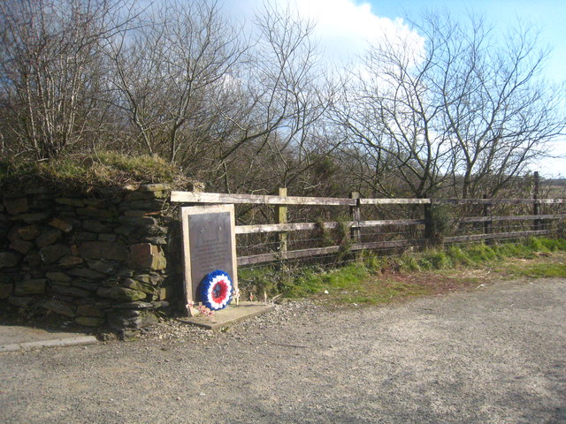
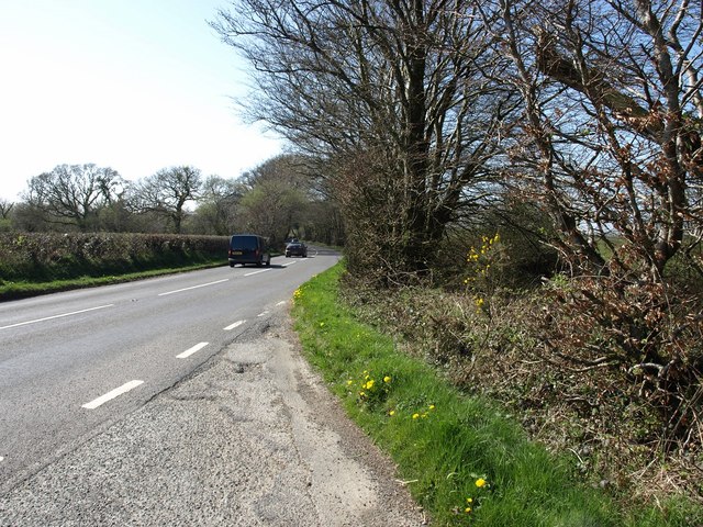
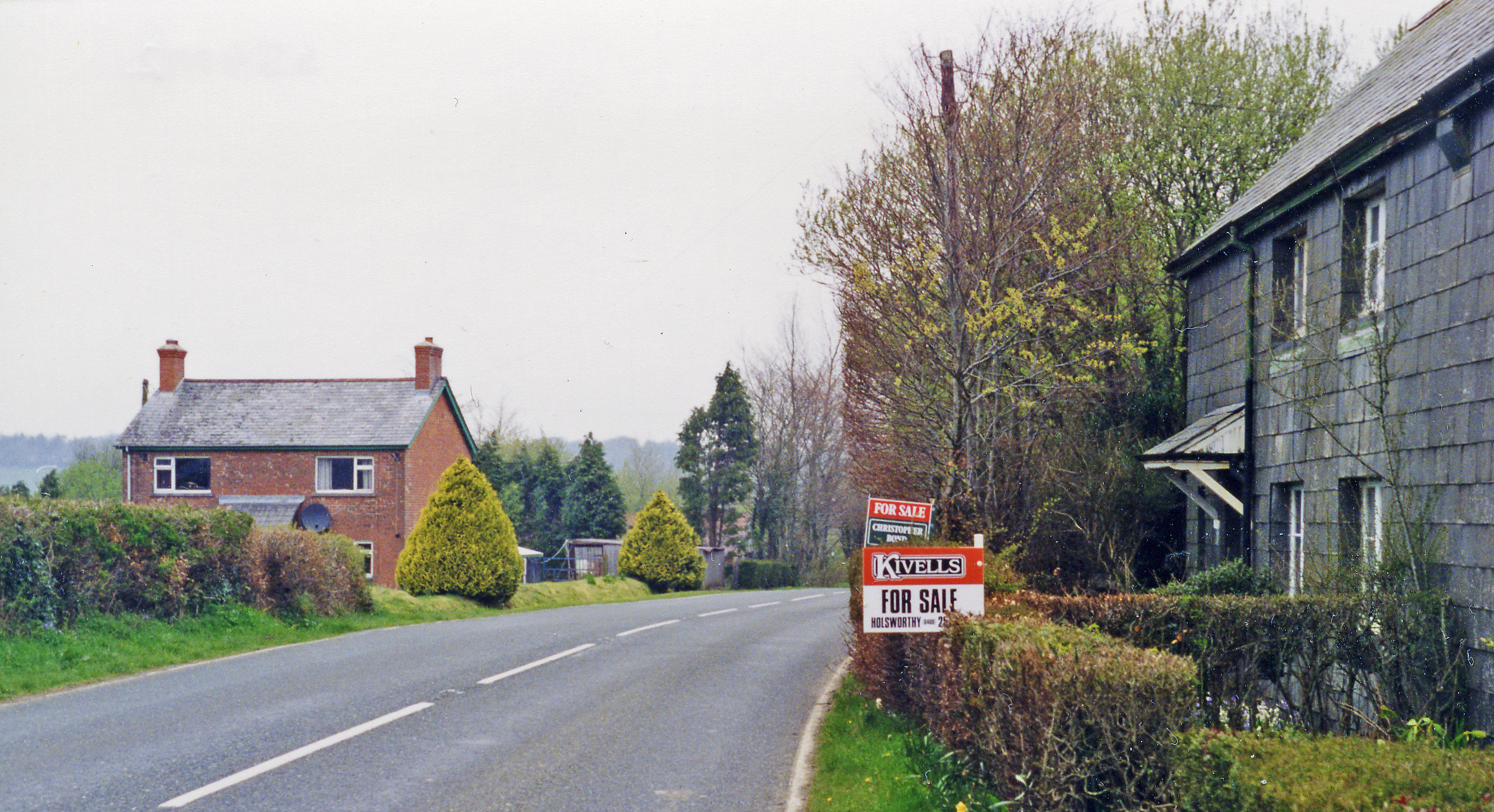
Southern Moor Plantation Images

Images are sourced within 2km of 50.80598/-4.285396 or Grid Reference SS3903. Thanks to Geograph Open Source API. All images are credited.

Memorial to crew of Halifax crash in 1944
Sign at Anvil Corner There is a memorial <a href="https://www.geograph.org.uk/photo/2984008">SS3703 : Memorial to crew of Halifax crash in 1944</a> to the crew of a Halifax which crashed here in 1944
Sign at Anvil Corner
There is a memorial SS3703 : Memorial to crew of Halifax crash in 1944 to the crew of a Halifax which crashed here in 1944
Access gate to landfill site The access leads to the route of the abandoned railway between Holsworthy and Halwill Junction
Access gate to landfill site
The access leads to the route of the abandoned railway between Holsworthy and Halwill Junction
Cycle path to Holsworthy along former railway
Stream bridge in woodland at West Coombe
Hollacombe Cross
Hollacombe Cross
Hollacombe Church (St Petrock's)
Minor road on south-east edge of Hollacombe
Higher Claw Bridge
Higher Claw Bridge
Hillside Cross
Hillside Cross
Road from Higher Claw Bridge to Hillside Cross The road runs through woodland plantations on the western edge of a large area of forest.
Road from Higher Claw Bridge to Hillside Cross
The road runs through woodland plantations on the western edge of a large area of forest.
A3072 near The Beeches Junction to Hollacombe ahead.
A3072 near The Beeches
Junction to Hollacombe ahead.
The Ruby Way Part of the National Cycle Network which along this stretch follows the route of the old railway line from Halwill Junction to Bude.
The Ruby Way
Part of the National Cycle Network which along this stretch follows the route of the old railway line from Halwill Junction to Bude.
National Cycle Network sign on the Ruby Way near Anvil Corner
Memorial at Anvil Corner In memory of six Halifax bomber crew who died when their aircraft crashed in the adjoining field at 01.20 on 14 January 1944. A memorial service is held at this spot every Remembrance Sunday.
Memorial at Anvil Corner
In memory of six Halifax bomber crew who died when their aircraft crashed in the adjoining field at 01.20 on 14 January 1944. A memorial service is held at this spot every Remembrance Sunday.
A3072 near Fernlea Farm The road is emerging from Dunsland Woods, near the  junction of the A3079.
A3072 near Fernlea Farm
The road is emerging from Dunsland Woods, near the junction of the A3079.
A3072 west of The Beeches
The A3072 near Anvil Corner
Show me another place!

Southern Moor Plantation is located at Grid Ref: SS3903 (Lat: 50.80598, Lng: -4.285396)

Administrative County: Devon

District: Torridge

Police Authority: Devon and Cornwall

What 3 Words

///plays.madder.liquid. Near Holsworthy, Devon

Nearby Locations

Southern Moor Plantation

Related Wikis

Hollacombe

Hollacombe is a village and small civil parish in the local government district of Torridge, Devon, England. It lies about 3 miles south east of the town...

Okehampton–Bude line

The Okehampton–Bude line was a railway line built to serve Holsworthy in Devon, and Bude on the Cornish coast near the Devon border in England. The line...

Dunsland Cross railway station

Dunsland Cross was a railway station on the Bude Branch that closed in 1966. Dunsland Cross station in the parish of Holsworthy was 6 miles East of the...

Brandis Corner

Brandis Corner is a village on the A3072 within the civil parish of Holsworthy in Devon, England. In the Cornish dialect, a brandis is a three-legged stool...

Nearby Amenities

Located within 500m of 50.80598,-4.285396
Power: pole
Lat/Long: 50.8068602/-4.2919368
Power: pole
Lat/Long: 50.8071992/-4.2901719
Power: pole
Lat/Long: 50.8075585/-4.2880583
Power: pole
Lat/Long: 50.8078874/-4.2862129
Power: pole
Lat/Long: 50.808223/-4.2843515
Power: pole
Lat/Long: 50.8085552/-4.282431
Power: pole
Lat/Long: 50.8087823/-4.2804945
Power: pole
Lat/Long: 50.8092857/-4.289209
Power: pole
Lat/Long: 50.8090552/-4.2876962
Power: pole
Lat/Long: 50.8088382/-4.2863899
Power: pole
Lat/Long: 50.8086331/-4.2848933
Power: pole
Lat/Long: 50.8087585/-4.2837399
Power: pole
Lat/Long: 50.808867/-4.2825383
Power: pole
Lat/Long: 50.8090602/-4.2811596
Direction: 175
Generator Method: photovoltaic
Generator Output Electricity: yes
Generator Solar Modules: 16
Generator Source: solar
Generator Type: solar_photovoltaic_panel
Location: roof
Power: generator
Lat/Long: 50.8097526/-4.286052
Direction: SSW
Generator Method: photovoltaic
Generator Output Electricity: yes
Generator Solar Modules: 16
Generator Source: solar
Generator Type: solar_photovoltaic_panel
Location: roof
Power: generator
Lat/Long: 50.8092484/-4.2865764
Power: pole
Lat/Long: 50.8082196/-4.279317
Power: pole
Lat/Long: 50.8080145/-4.2806768
Power: pole
Lat/Long: 50.8077365/-4.2825463
Power: pole
Lat/Long: 50.8074365/-4.2844614
Power: pole
Lat/Long: 50.8071161/-4.2858186
Power: pole
Lat/Long: 50.8068365/-4.2869398
Power: pole
Lat/Long: 50.8052262/-4.2886296
Power: pole
Lat/Long: 50.8046126/-4.2892867
Power: pole
Lat/Long: 50.8044007/-4.2898768
Power: pole
Lat/Long: 50.8038379/-4.2914325
The data included in this document is from www.openstreetmap.org. The data is made available under ODbL.

Have you been to Southern Moor Plantation?

Leave your review of Southern Moor Plantation below (or comments, questions and feedback).