Wheal Brothers Wood

Wood, Forest in Cornwall

England

Wheal Brothers Wood

Passing place on Kit Hill Climb
Passing place on Kit Hill Climb Credit: David Smith

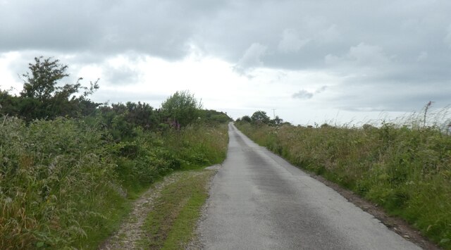
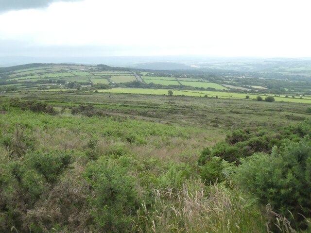
Wheal Brothers Wood is a picturesque woodland area located in Cornwall, England. Covering an approximate area of 50 acres, the wood is situated near the town of Redruth, just a short distance from the rugged coastline of the Celtic Sea.

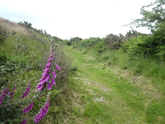
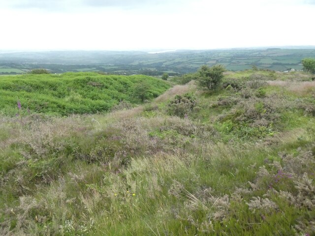
The wood is characterized by its diverse range of tree species, including oak, beech, ash, and hazel, which create a lush and vibrant canopy overhead. The forest floor is adorned with an abundance of wildflowers and ferns, adding to the overall beauty and tranquility of the area.

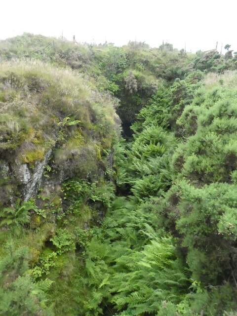
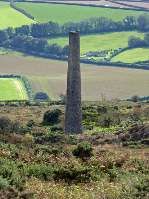
Wheal Brothers Wood holds great historical significance as it was once part of the Wheal Brothers Copper Mine, which operated during the 18th and 19th centuries. Remnants of the mining infrastructure, such as old mine shafts and spoil heaps, can still be seen scattered throughout the woodland, serving as a reminder of the area's industrial past.

The wood is a popular destination for nature enthusiasts, hikers, and birdwatchers alike. The peaceful atmosphere and well-maintained footpaths make it an ideal location for leisurely walks, allowing visitors to immerse themselves in the natural beauty of the surroundings.

Wheal Brothers Wood is also home to a diverse range of wildlife, including various bird species, squirrels, and deer. The wood provides a sanctuary for these creatures, as well as a vital habitat for many other woodland species.

Overall, Wheal Brothers Wood offers a serene and captivating experience for those seeking to connect with nature and explore the rich history of Cornwall's mining heritage.

If you have any feedback on the listing, please let us know in the comments section below.

Wheal Brothers Wood Images

Images are sourced within 2km of 50.508302/-4.2710855 or Grid Reference SX3970. Thanks to Geograph Open Source API. All images are credited.

Passing place on Kit Hill Climb
Path through earthwoks on Kit Hill
Mine workings, east slope of Kit Hill
View south from Kit Hill Looking south to the valley of the River Tamar
View south from Kit Hill
Looking south to the valley of the River Tamar
Earthworks near summit of Kit Hill
Trig pillar on Kit Hill
Toposcope and view south from Kit Hill One of the toposcopes on the hill; sensibly, they are rectangular, so the viewer can stand (more or less) at the origin.
Toposcope and view south from Kit Hill
One of the toposcopes on the hill; sensibly, they are rectangular, so the viewer can stand (more or less) at the origin.
East Kit Hill Mine The ruinous and overgrown engine house is on the left and the chimney on the right. It is thought the engine was used to drive a set of stamps for ore crushing. The mine had a short life being closed finally by 1881 and produced some tin, arsenic and tungsten.
East Kit Hill Mine
The ruinous and overgrown engine house is on the left and the chimney on the right. It is thought the engine was used to drive a set of stamps for ore crushing. The mine had a short life being closed finally by 1881 and produced some tin, arsenic and tungsten.
Parking and viewpoint on Kit Hill On the climb towards the summit.
Parking and viewpoint on Kit Hill
On the climb towards the summit.
Chimney on Kit Hill Not the well known chimney at the summit but a rather plain one further down the slope to the south. This belonged to South Kit Hill Mine and dates from 1856.
Chimney on Kit Hill
Not the well known chimney at the summit but a rather plain one further down the slope to the south. This belonged to South Kit Hill Mine and dates from 1856.
Trig point on Kit Hill
Old Milestone by the A390 at Hingston Down Carved stone post by the A390, in parish of Calstock (Caradon District), Sevenstones, Hingston Down, standing clear on verge, on North side of road. Callington 'CT' tombstone, erected by the Callington turnpike trust in the 19th century. 

Inscription reads:-
C.2
T.7½
Carved benchmark on front face.

Grade II listed.
List Entry Number: 1311956 

Milestone Society National ID: CW_CLTV02.
Old Milestone by the A390 at Hingston Down
Carved stone post by the A390, in parish of Calstock (Caradon District), Sevenstones, Hingston Down, standing clear on verge, on North side of road. Callington 'CT' tombstone, erected by the Callington turnpike trust in the 19th century. Inscription reads:- C.2 T.7½ Carved benchmark on front face. Grade II listed. List Entry Number: 1311956 Milestone Society National ID: CW_CLTV02.
Contrasting hedges on the road to Ashton One side trimmed recently, the other not
Contrasting hedges on the road to Ashton
One side trimmed recently, the other not
Road between hedgebanks, near Ashton
House at road junction east of Ashton
Moss-covered wall by road to Ashton Barton The road crosses a stream here, but the valley is broad and flat so the road is on a causeway
Moss-covered wall by road to Ashton Barton
The road crosses a stream here, but the valley is broad and flat so the road is on a causeway
Field west of Ashton Barton
Road verge with old milestone on A390 east of Callington A close up is at <a href="https://www.geograph.org.uk/photo/6367817">SX3770 : Old Milestone by the A390 in Callington</a>
Road verge with old milestone on A390 east of Callington
Show me another place!

Wheal Brothers Wood is located at Grid Ref: SX3970 (Lat: 50.508302, Lng: -4.2710855)

Unitary Authority: Cornwall

Police Authority: Devon and Cornwall

What 3 Words

///highly.human.reclusive. Near Callington, Cornwall

Related Wikis

Harrowbarrow

Harrowbarrow (Cornish: Kelliskovarnek) is a village in the parish of Calstock in east Cornwall, England. == All Saints, Harrowbarrow == In 1870 a parishioner...

Rising Sun, Cornwall

Rising Sun is a hamlet near Calstock in Cornwall, England. == References == == External links == The Rising Sun Inn, Gunnislake

Metherell, Cornwall

Metherell is a village in east Cornwall, England, United Kingdom. It is situated three miles (5 km) east of Callington and two miles west of Calstock village...

Monkscross

Monkscross is a hamlet in the civil parish of Stokeclimsland, Cornwall, England. == References ==

Luckett railway station

Luckett railway station (Cornish: Boslova) served the hamlet of Luckett, Cornwall, England, from 1908 to 1966 on the Callington Branch. == History == The...
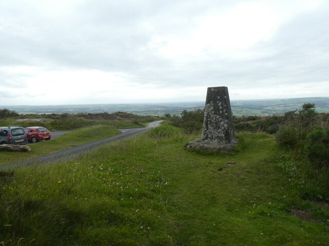
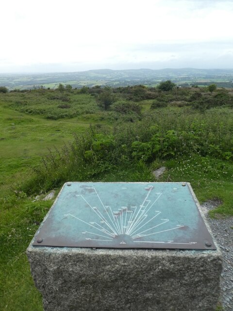
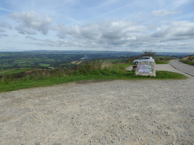
Kit Hill

Kit Hill (Cornish: Bre Skowl), at 334 metres high, dominates the area between Callington and the River Tamar in southeast Cornwall, England, UK. The word...

Coxpark

Coxpark is a hamlet in the parish of Calstock (where the population is included), Cornwall, England. == References ==

Latchley railway station

Latchley railway station (Cornish: Hallannergh) served the village of Latchley, Cornwall, England, from 1908 to 1966 on the Callington Branch. == History... ==

Nearby Amenities

Located within 500m of 50.508302,-4.2710855
Barrier: stile
Lat/Long: 50.5051765/-4.2727392
Barrier: kissing_gate
Lat/Long: 50.5069319/-4.2710243
Generator Method: photovoltaic
Generator Output Electricity: yes
Generator Source: solar
Generator Type: solar_photovoltaic_panel
Location: roof
Power: generator
Lat/Long: 50.5065137/-4.2759381
Barrier: stile
Lat/Long: 50.508742/-4.2770743
Barrier: stile
Lat/Long: 50.5095612/-4.2774688
Barrier: stile
Material: wood
Stile: stepover
Lat/Long: 50.5048214/-4.2745677
Historic: mine_chimney
Lat/Long: 50.5079984/-4.269594
Historic: mine_shaft
Lat/Long: 50.5077391/-4.2698283
Barrier: stile
Lat/Long: 50.5080924/-4.2693178
Historic: mine_chimney
Lat/Long: 50.5081788/-4.2717143
Historic: mine_chimney
Lat/Long: 50.5124734/-4.2725874
Abandoned: yes
Hazard: yes
Man Made: mineshaft
Source Name: 1892-1914 OS 25 inch (NLS)
Lat/Long: 50.5085885/-4.2749751
Abandoned: yes
Hazard: yes
Man Made: mineshaft
Source Name: 1892-1914 OS 25 inch (NLS)
Lat/Long: 50.5084983/-4.2717203
The data included in this document is from www.openstreetmap.org. The data is made available under ODbL.

Have you been to Wheal Brothers Wood?

Leave your review of Wheal Brothers Wood below (or comments, questions and feedback).