Amwell

Settlement in Hertfordshire St. Albans

England

Amwell

Aldwickbury School Boys' prep school which in the c.1940s moved to the Victorian mansion of Aldwickbury (named Highfirs until the early 20th Century).  Seen here is the lodge by the driveway off Wheathamptead Road.
Aldwickbury School Credit: Ian Capper

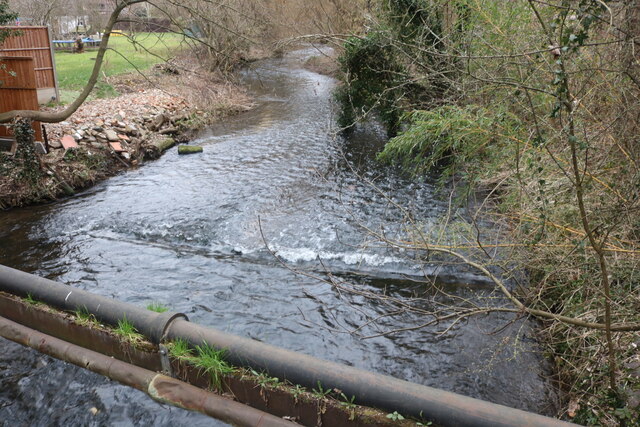
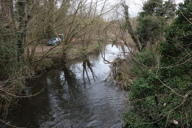
Amwell is a small village located in Hertfordshire, England. It is situated approximately 3 miles east of the town of Ware and 20 miles north of London. The village lies at the confluence of the River Lea and the River Stort, creating a picturesque setting with beautiful waterways and lush green surroundings.

Historically, Amwell was known for its important role in the transportation of goods along the rivers, as it was a significant stop on the Lea Navigation. Today, the village retains its rural charm, offering a peaceful and idyllic atmosphere for residents and visitors alike.

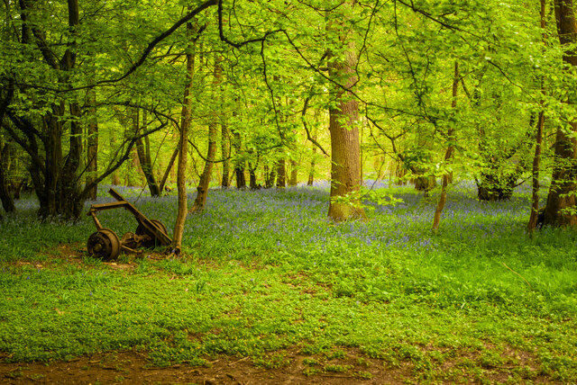
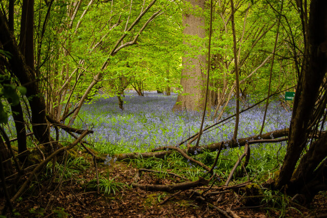
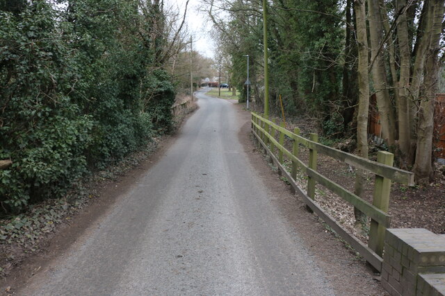
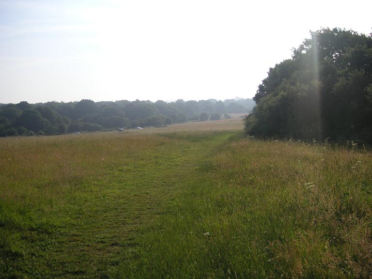
Amwell boasts a rich heritage, with several notable landmarks and attractions. One of the main highlights is the New River, an artificial waterway built in the early 17th century to supply fresh drinking water to London. The New River Path, which runs through the village, provides a scenic route for walkers and cyclists to explore the area.

The village is also home to the Amwell Nature Reserve, a protected area that encompasses a variety of habitats, including wetlands, woodlands, and meadows. This reserve is a haven for wildlife, attracting birdwatchers and nature enthusiasts throughout the year.

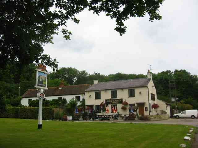
In terms of amenities, Amwell offers a good range of local facilities, including a village pub, a primary school, and a community center. The nearby town of Ware provides additional amenities, such as supermarkets, shops, and leisure facilities.

Overall, Amwell is a charming village that combines natural beauty, historical significance, and a close-knit community, making it an attractive place to live or visit for those seeking a peaceful and picturesque location in Hertfordshire.

If you have any feedback on the listing, please let us know in the comments section below.
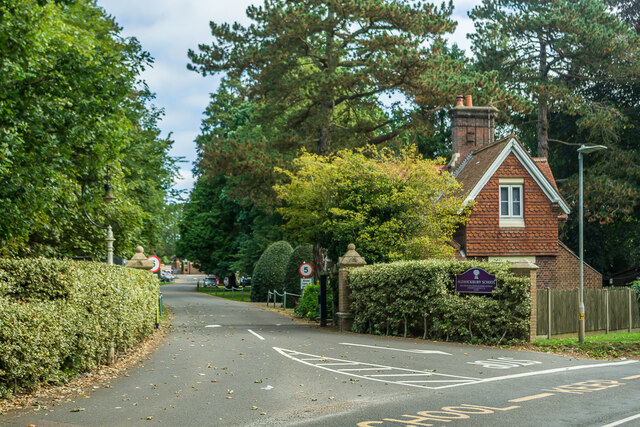
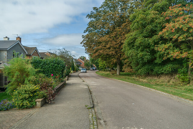
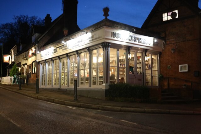
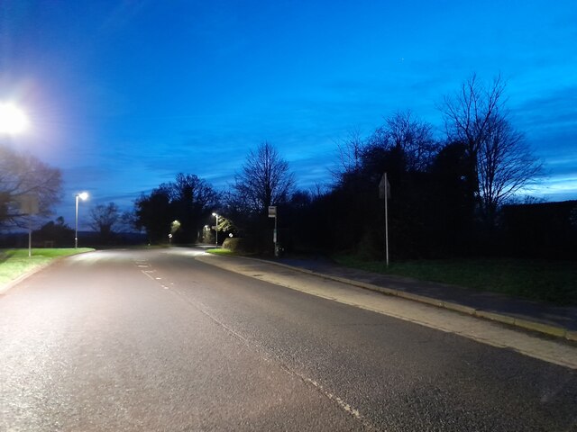
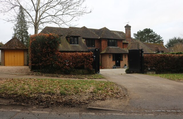
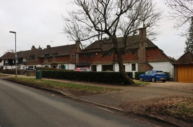
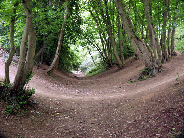
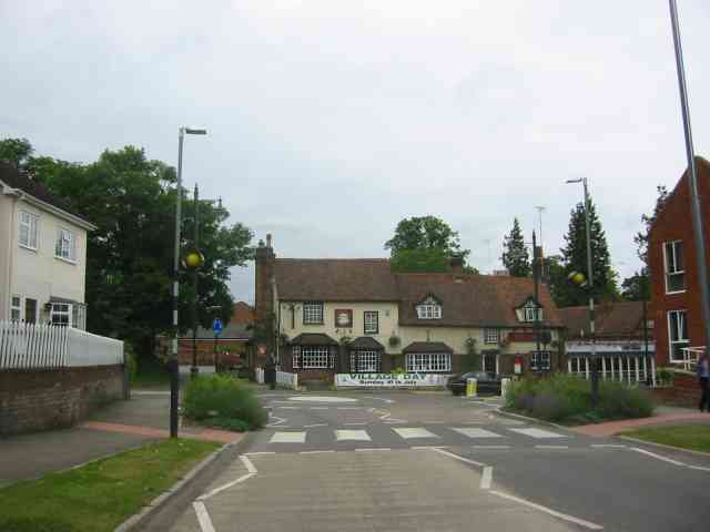
Amwell Images

Images are sourced within 2km of 51.804842/-0.30845493 or Grid Reference TL1613. Thanks to Geograph Open Source API. All images are credited.

Aldwickbury School Boys' prep school which in the c.1940s moved to the Victorian mansion of Aldwickbury (named Highfirs until the early 20th Century).  Seen here is the lodge by the driveway off Wheathamptead Road.
Aldwickbury School
Boys' prep school which in the c.1940s moved to the Victorian mansion of Aldwickbury (named Highfirs until the early 20th Century). Seen here is the lodge by the driveway off Wheathamptead Road.
Wheathampstead Road c.1960s housing along a service road separated from the main Wheathampstead Road by the line of trees on the right.
Wheathampstead Road
c.1960s housing along a service road separated from the main Wheathampstead Road by the line of trees on the right.
Roundabout on Lamer Lane, Wheathampstead Looking towards Lower Luton Road
Roundabout on Lamer Lane, Wheathampstead
Looking towards Lower Luton Road
Frost's estate agents, Wheathampstead All the Frost's I've seen have been in Surrey, I didn't know they were up here as well.
Frost's estate agents, Wheathampstead
All the Frost's I've seen have been in Surrey, I didn't know they were up here as well.
Nonno's Pizza, Wheathampstead
The Hill, Wheathampstead
Sandridge : Heartwood Forest
Sandridge : Heartwood Forest bluebells
Shops on Station Road, Wheathampstead
The River Lea, Wheathampstead From Leasey Bridge
The River Lea, Wheathampstead
From Leasey Bridge
The River Lea, Wheathampstead From Leasey Bridge
The River Lea, Wheathampstead
From Leasey Bridge
Cherry Tree Lane, Wheathampstead
Large house on Wheathampstead Road, Harpenden I think I could manage to live here.
Large house on Wheathampstead Road, Harpenden
I think I could manage to live here.
Houses on Wheathampstead Road, Harpenden These are very similar to some in Hampstead Garden Suburb.
Houses on Wheathampstead Road, Harpenden
These are very similar to some in Hampstead Garden Suburb.
Devils Dyke, Wheathampstead Part of the 'Belgic oppidum', a defensive earthwork dating from the Iron Age.
Devils Dyke, Wheathampstead
Part of the 'Belgic oppidum', a defensive earthwork dating from the Iron Age.
Wheathampstead village villages always seem to be devoid of people.
Wheathampstead village
villages always seem to be devoid of people.
Coleman Green This is the John Bunyan pub
Coleman Green
This is the John Bunyan pub
Cross Farm  Harpenden There seemed to be a fair amount of pony riding activity in the yard. The sun always seems to be wrong hey ho.
Cross Farm Harpenden
There seemed to be a fair amount of pony riding activity in the yard. The sun always seems to be wrong hey ho.
Show me another place!

Amwell is located at Grid Ref: TL1613 (Lat: 51.804842, Lng: -0.30845493)

Administrative County: Hertfordshire

District: St. Albans

Police Authority: Hertfordshire

What 3 Words

///units.purple.truly. Near Wheathampstead, Hertfordshire

Related Wikis

Nomansland Common

Nomansland Common (sometimes simply called No Man's Land) is an area of common land in Hertfordshire, England to the south of Harpenden and the south-west...

St Helen's Church, Wheathampstead

St Helen's Church is the oldest church in Wheathampstead, Hertfordshire, England, although the date of its origins is unknown. The wooden Anglo-Saxon structure...

Wheathampstead

Wheathampstead is a village and civil parish in Hertfordshire, England, north of St Albans. The population of the ward at the 2001 census was 6,058. Included...

Devil's Dyke, Hertfordshire

Devil's Dyke is the remains of a prehistoric defensive ditch which lies at the east side of the village of Wheathampstead, Hertfordshire, England. It is...

Nearby Amenities

Located within 500m of 51.804842,-0.30845493
Pub
Elephant & Castle
Addr City: Amwell
Addr Postcode: AL4 8EA
Addr Street: Amwell Lane
Fhrs Authority: St Albans City
Fhrs Id: 305380
Phone: +44 1582 832175
Wikidata: Q26396917
Lat/Long: 51.8049748/-0.3081185
Post Box
Post Box Type: lamp
Ref: AL4 173D
Royal Cypher: EIIR
Royal Cypher Wikidata: Q33102113
Lat/Long: 51.8048153/-0.3083698
Amwell
Place: hamlet
Lat/Long: 51.805703/-0.3068991
Board Type: notice
Information: board
Operator: Wheathampstead Parish Council
Tourism: information
Lat/Long: 51.8049606/-0.3080138
Entrance: main
Lat/Long: 51.8049851/-0.3080301
The data included in this document is from www.openstreetmap.org. The data is made available under ODbL.

Have you been to Amwell?

Leave your review of Amwell below (or comments, questions and feedback).