Little Piggotts Wood

Wood, Forest in Hertfordshire St. Albans

England

Little Piggotts Wood

Alzey Gardens Late 20th Century housing off Pigottshill Lane/Wheathampstead Road.
Alzey Gardens Credit: Ian Capper

Little Piggotts Wood is a charming woodland area located in Hertfordshire, England. Covering an approximate area of 10 hectares, this wood is nestled in the countryside, providing a tranquil escape from the bustling city life. It is situated just to the east of the village of Standon, making it easily accessible for visitors.

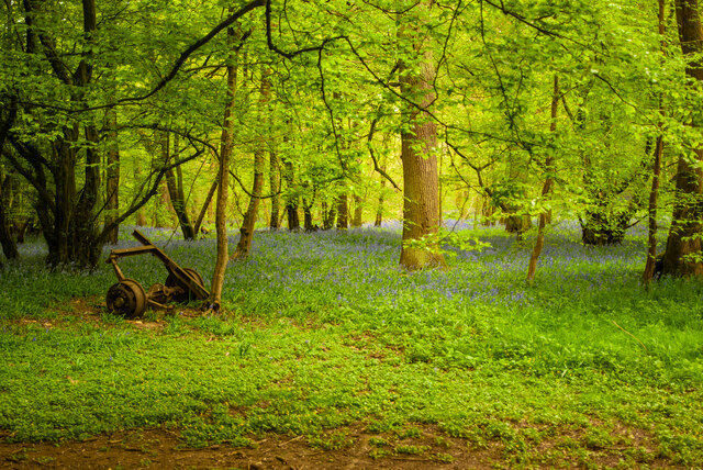
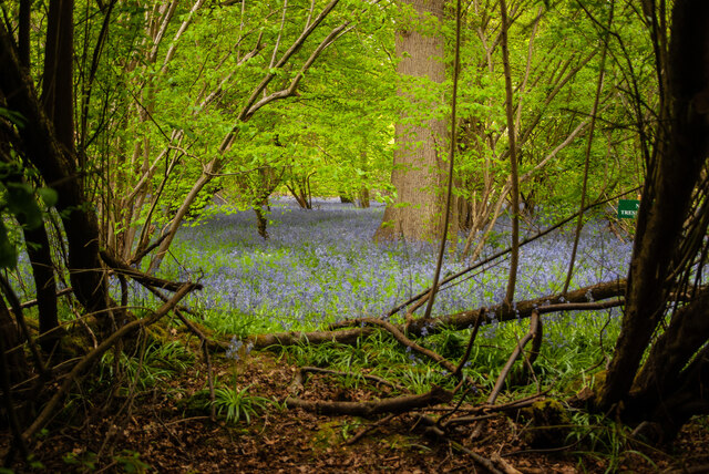
The wood is primarily composed of a mix of deciduous and coniferous trees, creating a diverse and picturesque landscape. Ancient oak and beech trees tower over the woodland floor, while spruces and firs add a touch of green throughout the year. This variety of trees makes Little Piggotts Wood a haven for wildlife, attracting numerous species of birds, small mammals, and insects.

Wandering through the wood, visitors can enjoy the peaceful ambiance and take in the beauty of the natural surroundings. A network of well-maintained footpaths and trails meander through the wood, allowing nature enthusiasts to explore its hidden treasures. These paths are suitable for walkers of all abilities and are often frequented by dog walkers and families.

Little Piggotts Wood is a popular destination for nature lovers, offering opportunities for birdwatching, photography, and simply immersing oneself in the tranquility of the natural environment. The wood is managed by a local conservation organization, ensuring the preservation of its unique ecosystem and promoting sustainable practices.

Overall, Little Piggotts Wood is a delightful woodland retreat, providing a much-needed respite for those seeking solace in nature. With its scenic beauty and diverse wildlife, it is a must-visit destination for anyone looking to escape the hustle and bustle of everyday life and reconnect with the natural world.

If you have any feedback on the listing, please let us know in the comments section below.

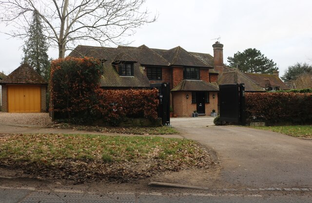
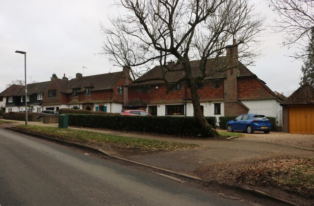
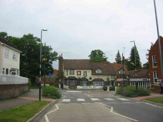
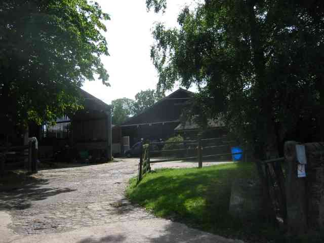
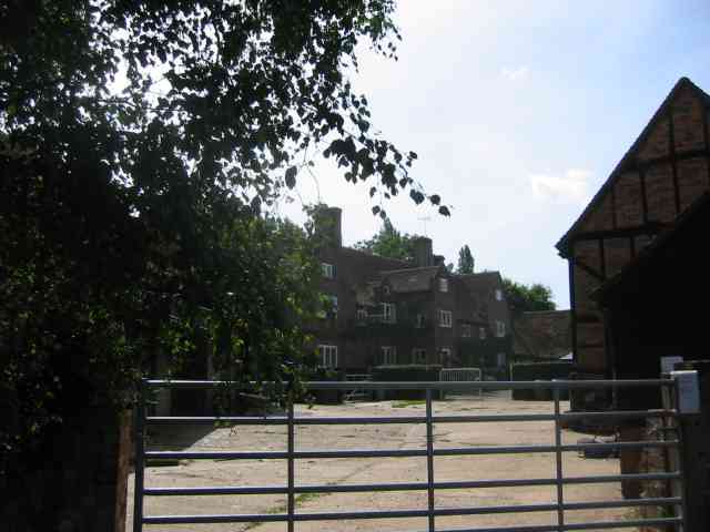
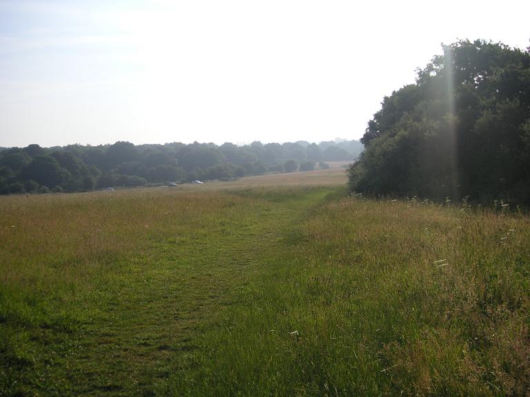
Little Piggotts Wood Images

Images are sourced within 2km of 51.804586/-0.31441137 or Grid Reference TL1613. Thanks to Geograph Open Source API. All images are credited.

Alzey Gardens Late 20th Century housing off Pigottshill Lane/Wheathampstead Road.
Alzey Gardens
Late 20th Century housing off Pigottshill Lane/Wheathampstead Road.
Aldwickbury School Boys' prep school which in the c.1940s moved to the Victorian mansion of Aldwickbury (named Highfirs until the early 20th Century).  Seen here is the lodge by the driveway off Wheathamptead Road.
Aldwickbury School
Boys' prep school which in the c.1940s moved to the Victorian mansion of Aldwickbury (named Highfirs until the early 20th Century). Seen here is the lodge by the driveway off Wheathamptead Road.
Wheathampstead Road c.1960s housing along a service road separated from the main Wheathampstead Road by the line of trees on the right.
Wheathampstead Road
c.1960s housing along a service road separated from the main Wheathampstead Road by the line of trees on the right.
Roundabout on Lamer Lane, Wheathampstead Looking towards Lower Luton Road
Roundabout on Lamer Lane, Wheathampstead
Looking towards Lower Luton Road
Frost's estate agents, Wheathampstead All the Frost's I've seen have been in Surrey, I didn't know they were up here as well.
Frost's estate agents, Wheathampstead
All the Frost's I've seen have been in Surrey, I didn't know they were up here as well.
Nonno's Pizza, Wheathampstead
The Hill, Wheathampstead
Sandridge : Heartwood Forest
Sandridge : Heartwood Forest bluebells
Shops on Station Road, Wheathampstead
The River Lea, Wheathampstead From Leasey Bridge
The River Lea, Wheathampstead
From Leasey Bridge
The River Lea, Wheathampstead From Leasey Bridge
The River Lea, Wheathampstead
From Leasey Bridge
Cherry Tree Lane, Wheathampstead
Large house on Wheathampstead Road, Harpenden I think I could manage to live here.
Large house on Wheathampstead Road, Harpenden
I think I could manage to live here.
Houses on Wheathampstead Road, Harpenden These are very similar to some in Hampstead Garden Suburb.
Houses on Wheathampstead Road, Harpenden
These are very similar to some in Hampstead Garden Suburb.
Wheathampstead village villages always seem to be devoid of people.
Wheathampstead village
villages always seem to be devoid of people.
Cross Farm  Harpenden There seemed to be a fair amount of pony riding activity in the yard. The sun always seems to be wrong hey ho.
Cross Farm Harpenden
There seemed to be a fair amount of pony riding activity in the yard. The sun always seems to be wrong hey ho.
The house at Cross Farm Harpenden This design seems to be Elizabethan
The house at Cross Farm Harpenden
This design seems to be Elizabethan
Show me another place!

Little Piggotts Wood is located at Grid Ref: TL1613 (Lat: 51.804586, Lng: -0.31441137)

Administrative County: Hertfordshire

District: St. Albans

Police Authority: Hertfordshire

What 3 Words

///jaws.tuned.shovels. Near Wheathampstead, Hertfordshire

Related Wikis

Nomansland Common

Nomansland Common (sometimes simply called No Man's Land) is an area of common land in Hertfordshire, England to the south of Harpenden and the south-west...
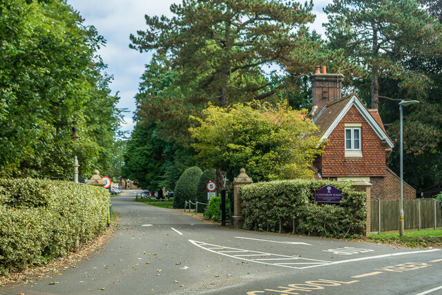
Aldwickbury School

Aldwickbury School is a 4–13 boys private preparatory school located on the outskirts of Harpenden, Hertfordshire in the United Kingdom. Aldwickbury School...

St Helen's Church, Wheathampstead

St Helen's Church is the oldest church in Wheathampstead, Hertfordshire, England, although the date of its origins is unknown. The wooden Anglo-Saxon structure...

Wheathampstead

Wheathampstead is a village and civil parish in Hertfordshire, England, north of St Albans. The population of the ward at the 2001 census was 6,058. Included...

Nearby Amenities

Located within 500m of 51.804586,-0.31441137
Pub
Elephant & Castle
Addr City: Amwell
Addr Postcode: AL4 8EA
Addr Street: Amwell Lane
Fhrs Authority: St Albans City
Fhrs Id: 305380
Phone: +44 1582 832175
Wikidata: Q26396917
Lat/Long: 51.8049748/-0.3081185
Post Box
Post Box Type: lamp
Ref: AL4 173D
Royal Cypher: EIIR
Royal Cypher Wikidata: Q33102113
Lat/Long: 51.8048153/-0.3083698
Board Type: notice
Information: board
Operator: Wheathampstead Parish Council
Tourism: information
Lat/Long: 51.8049606/-0.3080138
Entrance: main
Lat/Long: 51.8049851/-0.3080301
The data included in this document is from www.openstreetmap.org. The data is made available under ODbL.

Have you been to Little Piggotts Wood?

Leave your review of Little Piggotts Wood below (or comments, questions and feedback).