Stocking Wood
Wood, Forest in Hertfordshire St. Albans
England
Stocking Wood

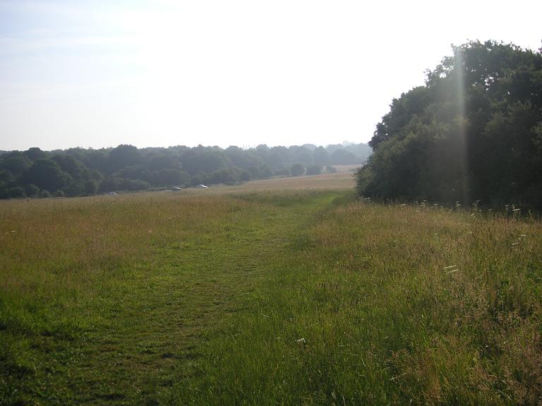
Stocking Wood is a charming woodland area located in Hertfordshire, England. It is part of the larger Hatfield Forest, which covers an area of approximately 1,049 acres. The wood is situated near the town of Bishop's Stortford and is easily accessible by both car and public transportation.
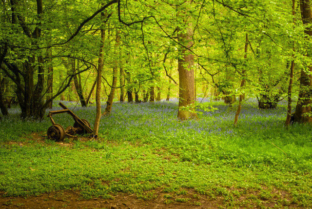
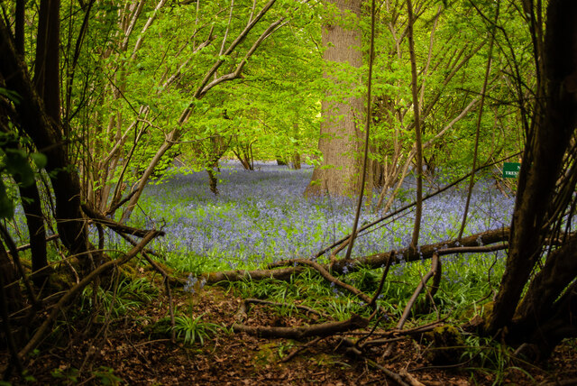
The woodland is known for its natural beauty and diverse range of flora and fauna. It is home to a variety of tree species, including oak, birch, and beech, which create a lush and vibrant environment. The wood is also home to numerous wildlife species, such as deer, foxes, and a variety of bird species, making it a popular spot for nature lovers and birdwatching enthusiasts.
Stocking Wood offers a network of well-maintained walking trails, allowing visitors to explore the area at their own pace. The trails take you through the heart of the wood, offering stunning views of the surrounding landscape and providing a peaceful escape from the hustle and bustle of everyday life.
In addition to its natural beauty, Stocking Wood also has historical significance. It is believed to have been part of the medieval Great Hatfield Forest, which was used for hunting by the Bishop of London. The wood has remnants of old boundary banks and ditches, adding to its historical charm and providing a glimpse into the area's past.
Overall, Stocking Wood is a tranquil and picturesque woodland area that offers visitors the opportunity to connect with nature and enjoy the beauty of the Hertfordshire countryside. Whether you're a keen hiker, wildlife enthusiast, or history buff, Stocking Wood has something to offer for everyone.
If you have any feedback on the listing, please let us know in the comments section below.
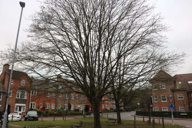
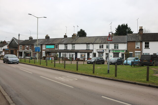
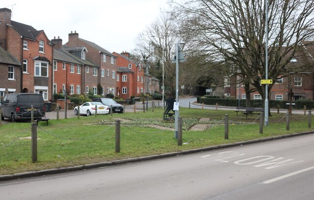
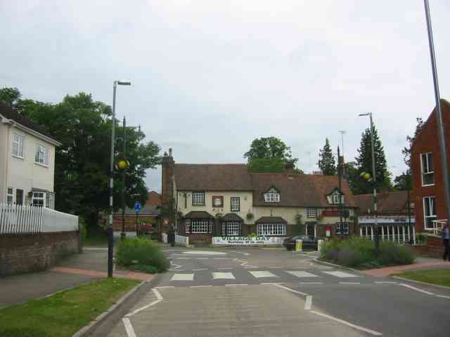
Stocking Wood Images
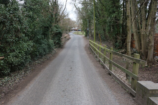
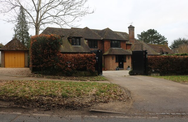
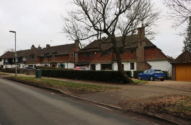
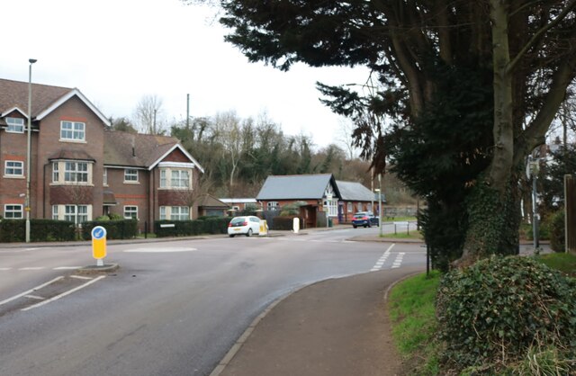
Images are sourced within 2km of 51.803982/-0.31865467 or Grid Reference TL1613. Thanks to Geograph Open Source API. All images are credited.

Stocking Wood is located at Grid Ref: TL1613 (Lat: 51.803982, Lng: -0.31865467)
Administrative County: Hertfordshire
District: St. Albans
Police Authority: Hertfordshire
What 3 Words
///urgent.crib.them. Near Wheathampstead, Hertfordshire
Nearby Locations
Related Wikis

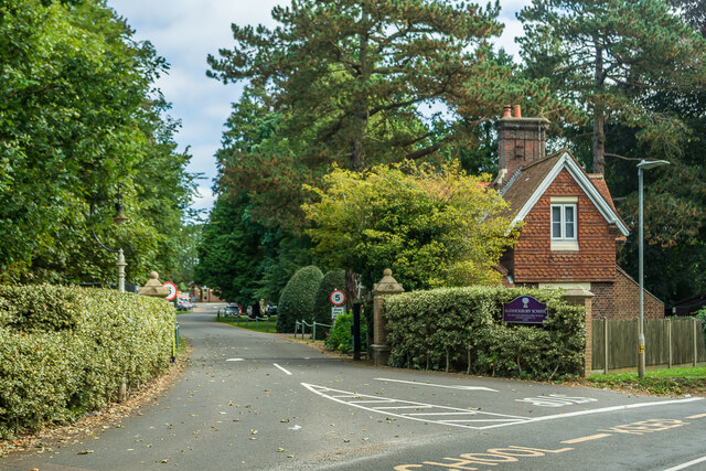
Aldwickbury School
Aldwickbury School is a 4–13 boys private preparatory school located on the outskirts of Harpenden, Hertfordshire in the United Kingdom. Aldwickbury School...
Nomansland Common
Nomansland Common (sometimes simply called No Man's Land) is an area of common land in Hertfordshire, England to the south of Harpenden and the south-west...

Heartwood Forest
Heartwood Forest is a planned forest (woodland creation site) in Hertfordshire, England. The site covers 347 hectares (860 acres), the largest continuous...

Marshalls Heath
Marshalls Heath is a hamlet and a 4-hectare (10-acre) Local Nature Reserve in Wheathampstead parish, Hertfordshire, England. The nature reserve is owned...
Nearby Amenities
Located within 500m of 51.803982,-0.31865467Have you been to Stocking Wood?
Leave your review of Stocking Wood below (or comments, questions and feedback).