Spithandle Rough
Wood, Forest in Sussex Horsham
England
Spithandle Rough
Spithandle Rough is a picturesque woodland located in Sussex, England. Situated in the heart of the county, the forest covers an area of approximately 100 acres, making it a popular destination for nature enthusiasts and outdoor enthusiasts alike.
The woodland is characterized by its dense canopy of towering oak and beech trees, which provide a serene and peaceful ambiance. The forest floor is carpeted with a variety of wildflowers and ferns, creating a vibrant and colorful landscape throughout the year.
Spithandle Rough is home to a diverse range of wildlife, including deer, foxes, rabbits, and a wide array of bird species. It is a designated nature reserve, ensuring the protection and conservation of the local flora and fauna.
The forest offers several walking trails and hiking routes, allowing visitors to explore its natural beauty at their own pace. These trails are well-maintained and clearly marked, making it easy for both experienced hikers and beginners to navigate through the forest.
Within the woodland, there are also designated picnic areas where visitors can relax and enjoy a meal amidst the tranquil surroundings. Additionally, there are several benches strategically placed along the trails, providing opportunities to rest and soak in the beauty of the forest.
Spithandle Rough is a place of tranquility and natural beauty, offering visitors a chance to escape the hustle and bustle of everyday life and immerse themselves in the wonders of nature. It is a true gem in the Sussex countryside, attracting locals and tourists alike.
If you have any feedback on the listing, please let us know in the comments section below.
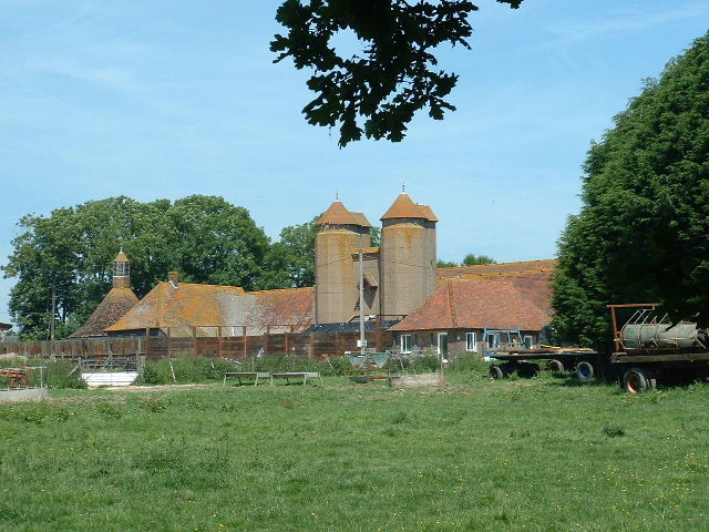
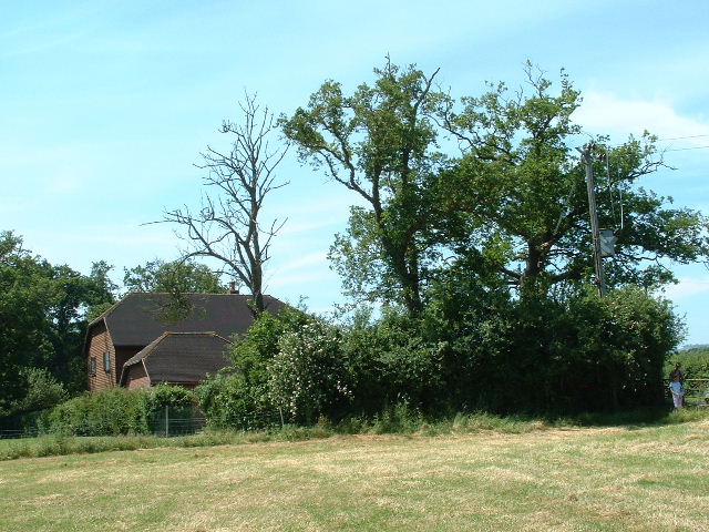
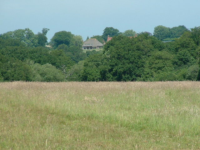
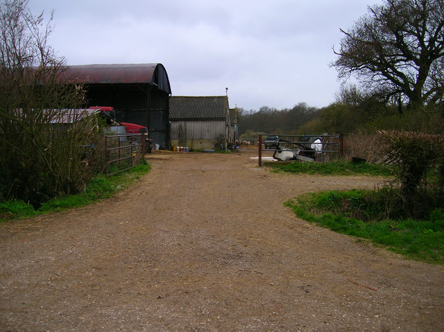
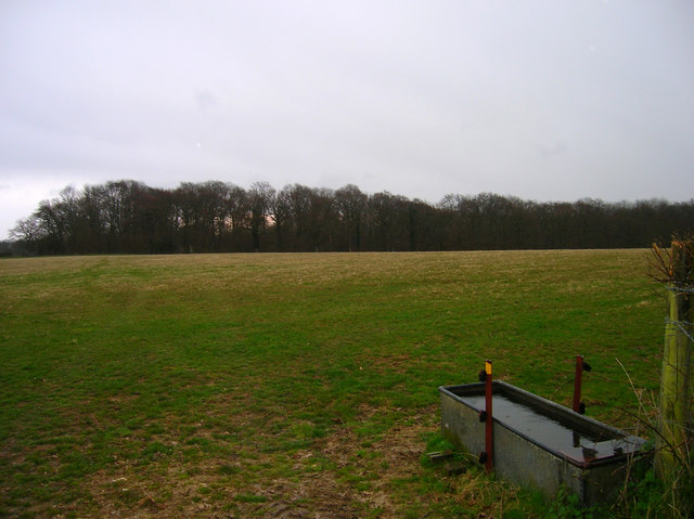
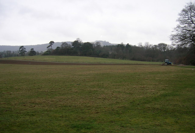
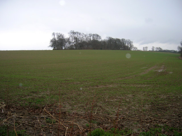
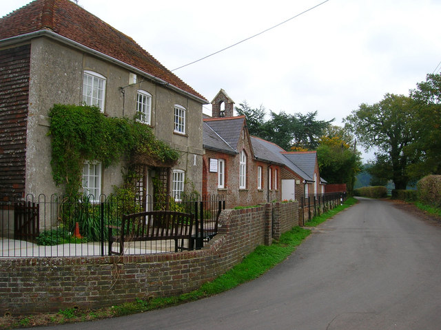
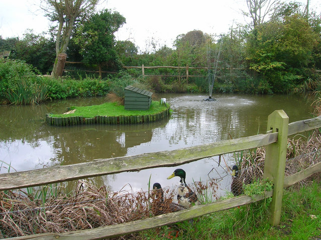
Spithandle Rough Images
Images are sourced within 2km of 50.920875/-0.34664463 or Grid Reference TQ1614. Thanks to Geograph Open Source API. All images are credited.


Spithandle Rough is located at Grid Ref: TQ1614 (Lat: 50.920875, Lng: -0.34664463)
Administrative County: West Sussex
District: Horsham
Police Authority: Sussex
What 3 Words
///swerving.motivates.reheat. Near Ashurst, West Sussex
Nearby Locations
Related Wikis

South Downs National Park
The South Downs National Park is England's newest national park, designated on 31 March 2010. The park, covering an area of 1,627 square kilometres (628...

Wiston, West Sussex
Wiston is a scattered village and civil parish in the Horsham District of West Sussex, England. It lies on the A283 road 2.8 miles (4.5 km) northwest of...

Buncton
Buncton () is a small village in the Horsham District of West Sussex, England, part of the civil parish of Wiston 0.5 miles (0.80 km) north. It lies to...
All Saints Church, Buncton
All Saints Church is an Anglican church in the hamlet of Buncton in the district of Horsham, one of seven local government districts in the English county...
Nearby Amenities
Located within 500m of 50.920875,-0.34664463Have you been to Spithandle Rough?
Leave your review of Spithandle Rough below (or comments, questions and feedback).