Darley Wood
Wood, Forest in Cornwall
England
Darley Wood

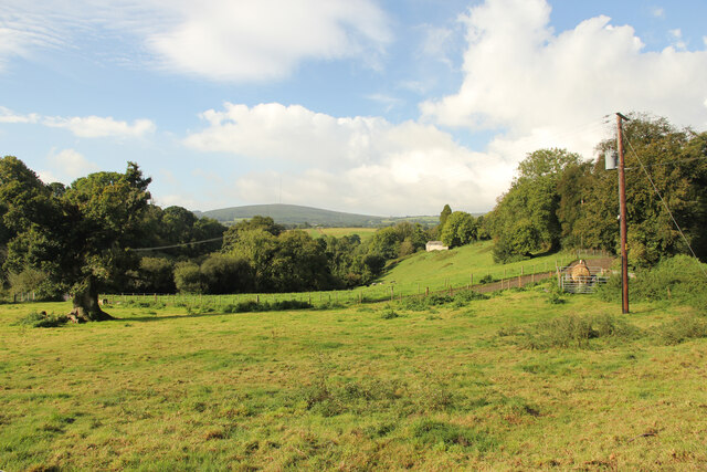
Darley Wood is a picturesque woodland located in Cornwall, England. Situated in the southwestern region of the country, this enchanting forest is a popular destination for nature enthusiasts and those seeking a serene escape from the bustling city life.
Covering an area of approximately 100 acres, Darley Wood boasts a rich diversity of flora and fauna. The woodland is characterized by a mix of deciduous and evergreen trees, including oak, beech, ash, and pine, which create a lush and vibrant atmosphere throughout the year. The forest floor is adorned with a carpet of wildflowers, adding a splash of color to the surroundings.
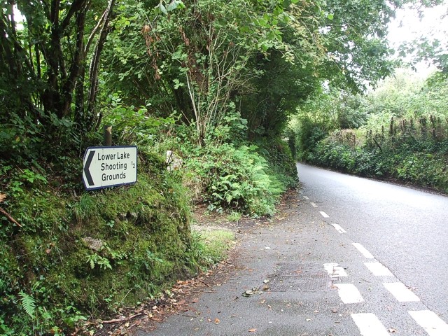
A network of well-maintained trails meanders through Darley Wood, providing visitors with the opportunity to explore its beauty on foot. As one ventures deeper into the forest, they may stumble upon a serene pond or a babbling brook, adding to the tranquility of the place.
The wood is home to a variety of wildlife, including deer, foxes, badgers, and a wide range of bird species. Birdwatchers flock to this area to catch a glimpse of rare species such as the great spotted woodpecker and the tawny owl.
Darley Wood is a haven for outdoor activities such as hiking, birdwatching, and photography. With its peaceful ambiance and natural beauty, it offers a perfect escape for individuals seeking solace in nature. Whether it's a leisurely stroll or an adventurous hike, Darley Wood promises to leave visitors with fond memories of its serene and captivating wilderness.
If you have any feedback on the listing, please let us know in the comments section below.
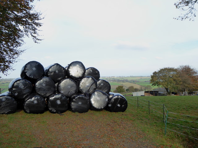
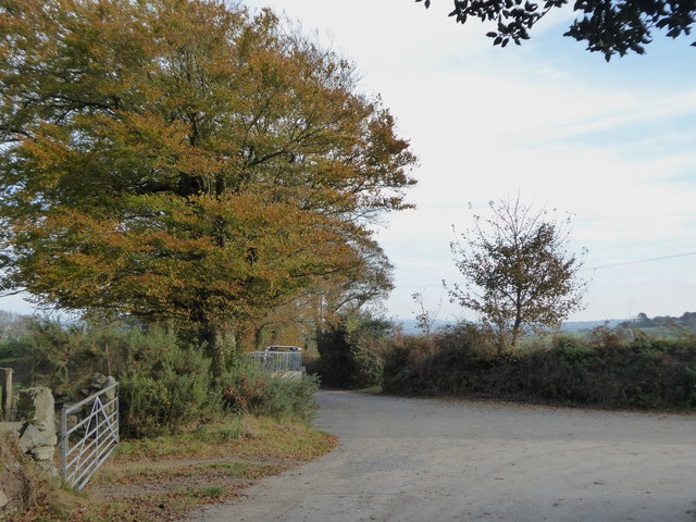
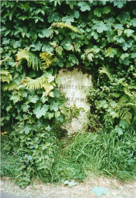
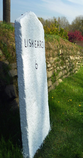
Darley Wood Images
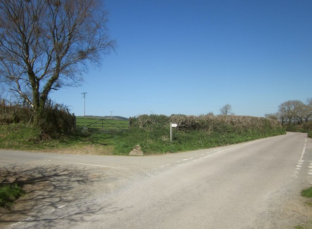
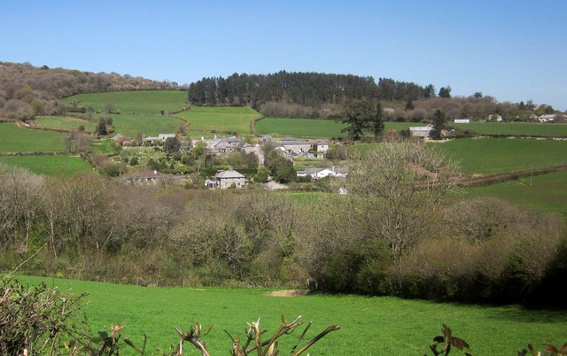
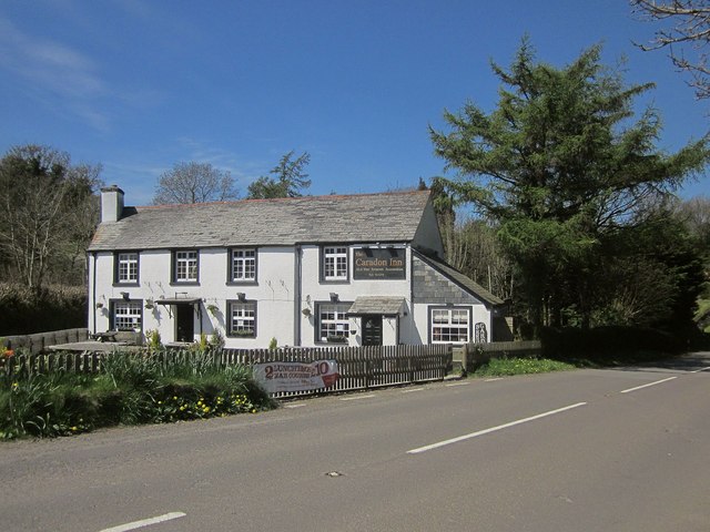
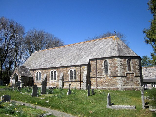
Images are sourced within 2km of 50.537263/-4.4335219 or Grid Reference SX2773. Thanks to Geograph Open Source API. All images are credited.

Darley Wood is located at Grid Ref: SX2773 (Lat: 50.537263, Lng: -4.4335219)
Unitary Authority: Cornwall
Police Authority: Devon and Cornwall
What 3 Words
///snipe.signed.vibe. Near North Hill, Cornwall
Nearby Locations
Related Wikis
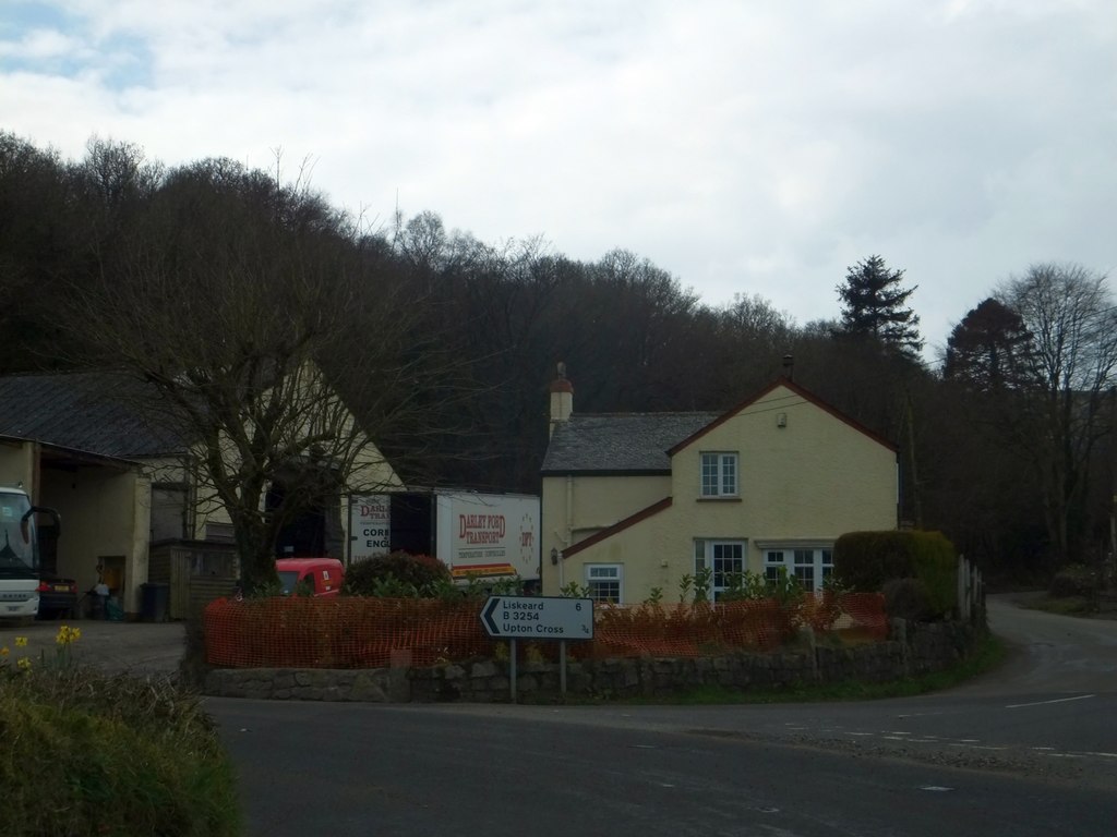
North Darley
North Darley (Cornish: Dowr Legh, meaning rock slab river) is a hamlet in Cornwall, England. It is two miles south of North Hill on the B3254 road from...

Darley Oak
The Darley Oak is a Pedunculate oak tree (Quercus robur) which grows near Darleyford in the parish of Linkinhorne on the edge of Bodmin Moor, Cornwall...
Darleyford
Darleyford (Cornish: Rys Dowr Legh, meaning ford of the rock slab river) is a hamlet in the parish of Linkinhorne in Cornwall, UK.The Darley Oak is a notable...

Henwood, Cornwall
Henwood is a hamlet in the civil parish of Linkinhorne in east Cornwall, England. Henwood is on the edge of Bodmin Moor and situated between Stowe's Hill...
Nearby Amenities
Located within 500m of 50.537263,-4.4335219Have you been to Darley Wood?
Leave your review of Darley Wood below (or comments, questions and feedback).