Notter Tor

Hill, Mountain in Cornwall

England

Notter Tor

Wind & rain at the Cheeswring, Minions, Cornwall Cold, Wind & rain in mid September, 2017.
Wind & rain at the Cheeswring, Minions, Cornwall Credit: david coombes

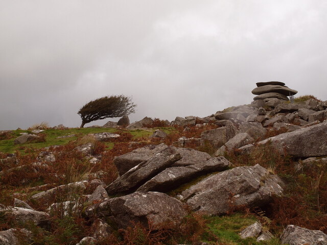
Notter Tor is a prominent hill located in the county of Cornwall, southwest England. Standing at an elevation of 314 meters (1,030 feet), it is often referred to as a hill rather than a mountain due to its relatively modest height. Despite this, Notter Tor offers breathtaking panoramic views of the surrounding landscapes and is a popular destination for hikers, nature enthusiasts, and photographers.

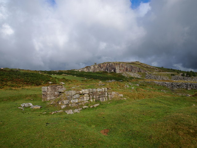
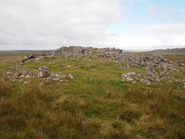
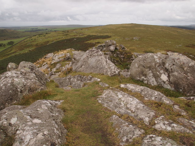
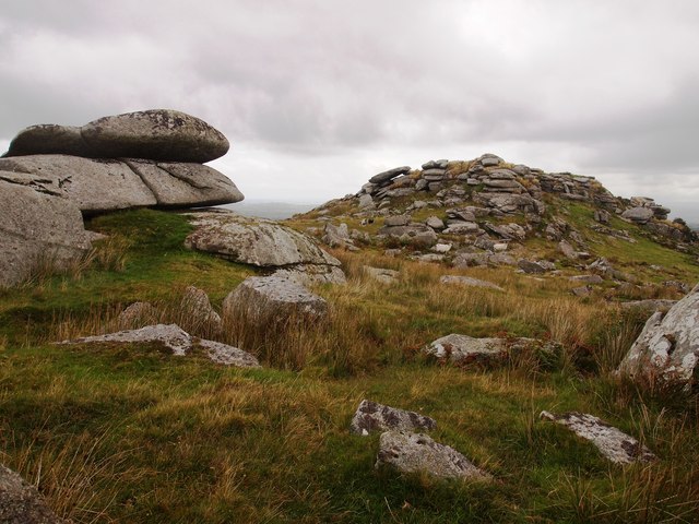
Situated within the Cornwall Area of Outstanding Natural Beauty, Notter Tor is characterized by its rugged and rocky terrain, covered in gorse and heather. The hill is composed mainly of granite, which is a common geological feature in the region. This granite outcrop has also resulted in the formation of several tors, including the prominent Notter Tor.

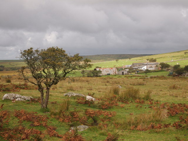
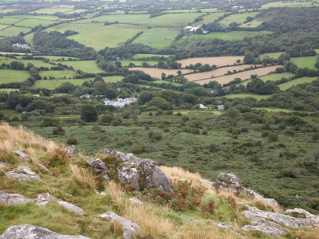
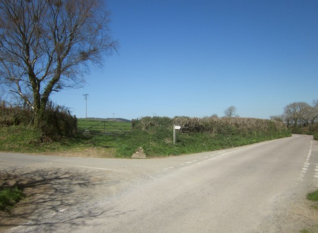
The hill is easily accessible, with a car park located nearby, and it is a popular starting point for exploring the surrounding countryside. Many hiking trails pass through this area, providing opportunities for both short walks and longer treks. As visitors ascend the hill, they can admire the breathtaking views of the nearby Tamar Valley, Dartmoor National Park, and the Cornish countryside.

Notter Tor is also steeped in history, with remnants of Bronze Age settlements and ancient burial sites found in the vicinity. These archaeological remains add to the fascination and intrigue of the area, attracting history enthusiasts and archaeology buffs.

In summary, Notter Tor is a picturesque hill in Cornwall, offering stunning views, diverse flora, and a rich historical background. It is a popular destination for outdoor enthusiasts and those seeking a peaceful escape in the natural beauty of Cornwall.

If you have any feedback on the listing, please let us know in the comments section below.
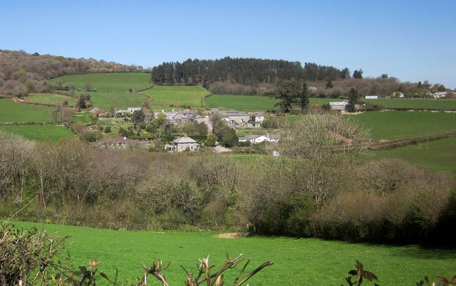
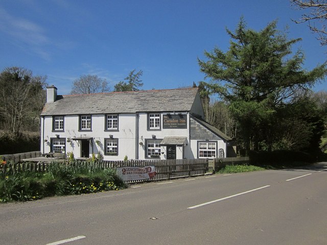
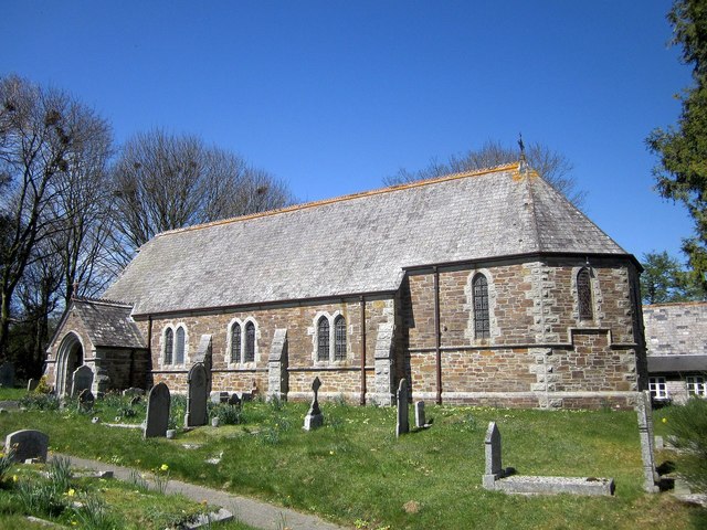
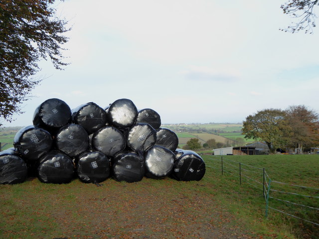
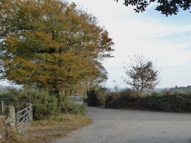
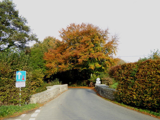
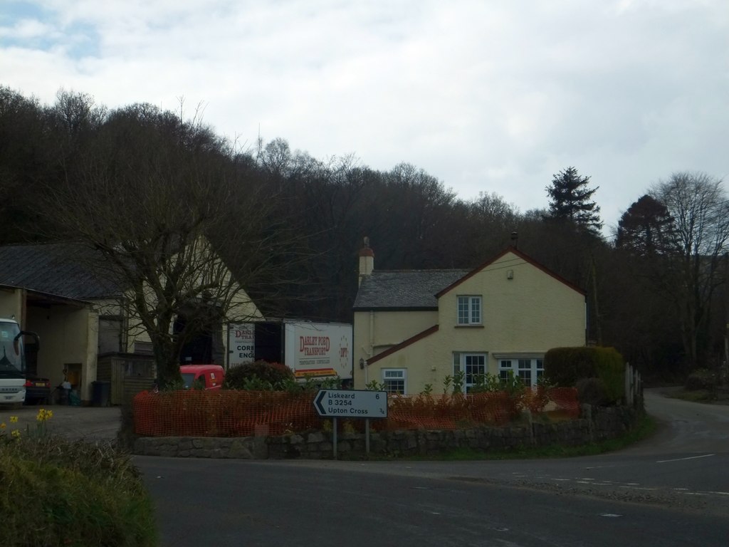
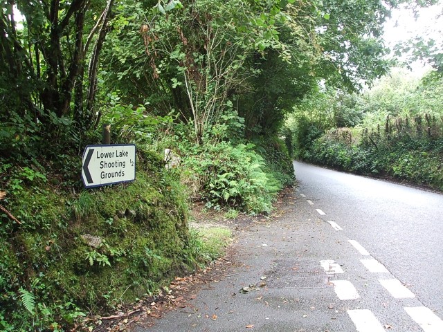
Notter Tor Images

Images are sourced within 2km of 50.538079/-4.4405078 or Grid Reference SX2773. Thanks to Geograph Open Source API. All images are credited.

Wind & rain at the Cheeswring, Minions, Cornwall Cold, Wind & rain in mid September, 2017.
Wind & rain at the Cheeswring, Minions, Cornwall
Cold, Wind & rain in mid September, 2017.
Former Wesleyan Methodist Chapel
St Paul's Church, Upton Cross
Former Wesleyan Methodist Chapel
Surface Remains of Mine, Below Stowe's Hill
Collapsed Shaft Near Minions
Wardbrook Farm
Wardbrook Farm
Cairns, Langstone Downs
Sharp Tor
Sharp Tor
Henwood From Sharp Tor
Bearah Tor
Bearah Tor
Treovis Cross A crossroads on the B3254 that is more or less on a grid line. The right turn here is shown in <a href="https://www.geograph.org.uk/photo/4446942">SX2873 : Lane to Treovis</a>.
Treovis Cross
A crossroads on the B3254 that is more or less on a grid line. The right turn here is shown in SX2873 : Lane to Treovis.
Darley Farm From the same place on the B3254 as <a href="https://www.geograph.org.uk/photo/4447026">SX2772 : B3254 approaching Darleyford</a> looking across the valley of a tributary of the Lynher, and a grid line. Amid the farming hamlet is the listed farmhouse <span class="nowrap"><a title="http://www.historicengland.org.uk/listing/the-list/list-entry/1329173" rel="nofollow ugc noopener" href="http://www.historicengland.org.uk/listing/the-list/list-entry/1329173">Link</a><img style="margin-left:2px;" alt="External link" title="External link - shift click to open in new window" src="https://s1.geograph.org.uk/img/external.png" width="10" height="10"/></span> . Behind is Darley Wood.
Darley Farm
From the same place on the B3254 as SX2772 : B3254 approaching Darleyford looking across the valley of a tributary of the Lynher, and a grid line. Amid the farming hamlet is the listed farmhouse LinkExternal link . Behind is Darley Wood.
The Caradon Inn Another photo (see <a href="https://www.geograph.org.uk/photo/376937">SX2772 : The Caradon Inn</a>) of the pub beside the B3254. It is on the fringe of the designated area of the Cornwall and West Devon Mining Landscape.
The Caradon Inn
Another photo (see SX2772 : The Caradon Inn) of the pub beside the B3254. It is on the fringe of the designated area of the Cornwall and West Devon Mining Landscape.
St Paul's Church, Upton Cross A further image of the C19 church shown in <a href="https://www.geograph.org.uk/photo/376917">SX2872 : Upton Cross Church</a> and <a href="https://www.geograph.org.uk/photo/4447580">SX2872 : St Paul's Church, Upton Cross</a>, from the churchyard. A bit of a rookery in the background.
St Paul's Church, Upton Cross
A further image of the C19 church shown in SX2872 : Upton Cross Church and SX2872 : St Paul's Church, Upton Cross, from the churchyard. A bit of a rookery in the background.
Silage bales at Kingbeare
The lane leading from Kingbeare to Botternell
Beriow Bridge over the River Lynher A Scheduled Monument and also Grade II* Listed. Dating from circa mid C16, repaired in 1640 (datestone) and widened on the upper side in 1890.
Beriow Bridge over the River Lynher
A Scheduled Monument and also Grade II* Listed. Dating from circa mid C16, repaired in 1640 (datestone) and widened on the upper side in 1890.
Show me another place!

Notter Tor is located at Grid Ref: SX2773 (Lat: 50.538079, Lng: -4.4405078)

Unitary Authority: Cornwall

Police Authority: Devon and Cornwall

What 3 Words

///barrel.hometown.myths. Near North Hill, Cornwall

Related Wikis

Henwood, Cornwall

Henwood is a hamlet in the civil parish of Linkinhorne in east Cornwall, England. Henwood is on the edge of Bodmin Moor and situated between Stowe's Hill...

Darley Oak

The Darley Oak is a Pedunculate oak tree (Quercus robur) which grows near Darleyford in the parish of Linkinhorne on the edge of Bodmin Moor, Cornwall...

Darleyford

Darleyford (Cornish: Rys Dowr Legh, meaning ford of the rock slab river) is a hamlet in the parish of Linkinhorne in Cornwall, UK.The Darley Oak is a notable...

North Darley

North Darley (Cornish: Dowr Legh, meaning rock slab river) is a hamlet in Cornwall, England. It is two miles south of North Hill on the B3254 road from...

Kingbeare

Kingbeare is a hamlet in the parish of North Hill, Cornwall, England. == References ==

Botternell

Botternell is a hamlet in the parish of North Hill, east Cornwall in the United Kingdom. The name means "Dornel's dwelling". Boturnell, also in Cornwall...

Sharptor

Sharptor is a hamlet west of Henwood in the civil parish of Linkinhorne in east Cornwall, England, United Kingdom. It is named after Sharp Tor on Bodmin...

Phoenix United Mine

Phoenix United Mine is a disused 19th century copper and tin mine in Cornwall, England, UK. Heavy metals left over in the soil from the mining operations...

Nearby Amenities

Located within 500m of 50.538079,-4.4405078
Notter Tor
Natural: peak
Lat/Long: 50.5380515/-4.4400226
Barrier: stile
Bicycle: no
Foot: yes
Material: wood
Stile: stepover
Lat/Long: 50.5361117/-4.4375008
Ford: yes
Lat/Long: 50.5409519/-4.445466
The data included in this document is from www.openstreetmap.org. The data is made available under ODbL.

Have you been to Notter Tor?

Leave your review of Notter Tor below (or comments, questions and feedback).