Currackstane Wood
Wood, Forest in Kincardineshire
Scotland
Currackstane Wood
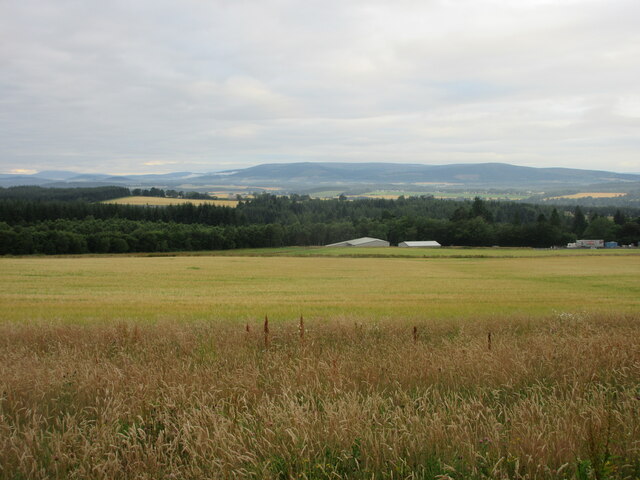
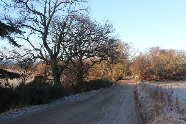
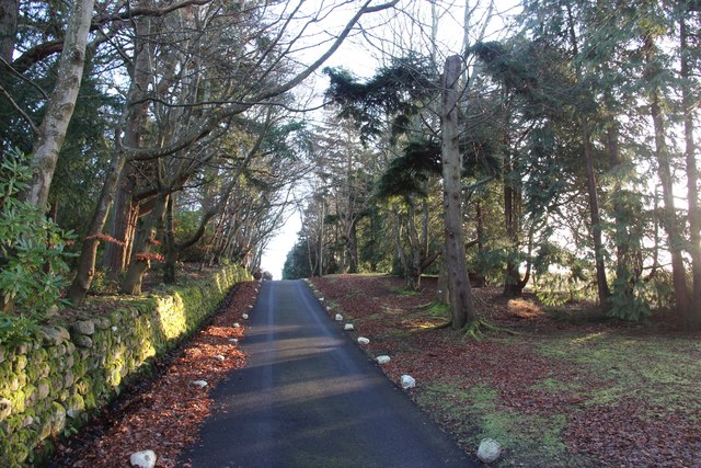
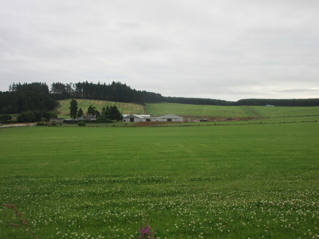
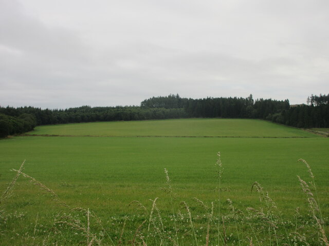
Currackstane Wood is a captivating forest located in Kincardineshire, Scotland. Spanning over a vast area, this enchanting woodland is known for its diverse flora and fauna, making it a haven for nature enthusiasts and hikers alike.
The wood is characterized by its dense canopy of towering trees, predominantly consisting of native species such as oak, birch, and beech. This rich vegetation provides a habitat for a wide array of wildlife, including red squirrels, roe deer, and a multitude of bird species. The tranquil atmosphere created by the rustling leaves and chirping birds makes Currackstane Wood an ideal spot for birdwatching and wildlife observation.
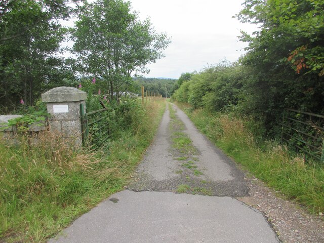
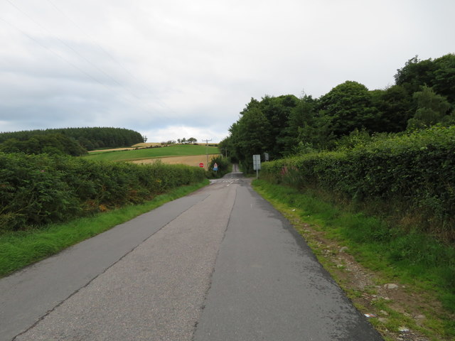
The forest is crisscrossed with well-maintained walking trails, allowing visitors to explore its beauty at their own pace. These trails offer breathtaking views of the surrounding countryside, with the occasional glimpse of the nearby River Dee. Along the way, visitors may encounter charming little clearings, babbling brooks, and moss-covered rocks, adding to the wood's ethereal charm.
Currackstane Wood is a popular destination for families, offering a range of activities such as picnicking, nature walks, and even den-building. The wood's accessibility and ample parking make it an easily reachable destination for both locals and tourists.
With its serene ambiance, diverse ecosystems, and picturesque landscapes, Currackstane Wood truly encapsulates the natural beauty of Kincardineshire, providing a captivating experience for all who venture into its depths.
If you have any feedback on the listing, please let us know in the comments section below.
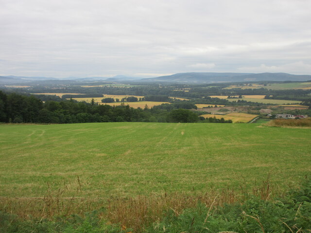
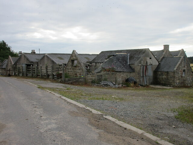
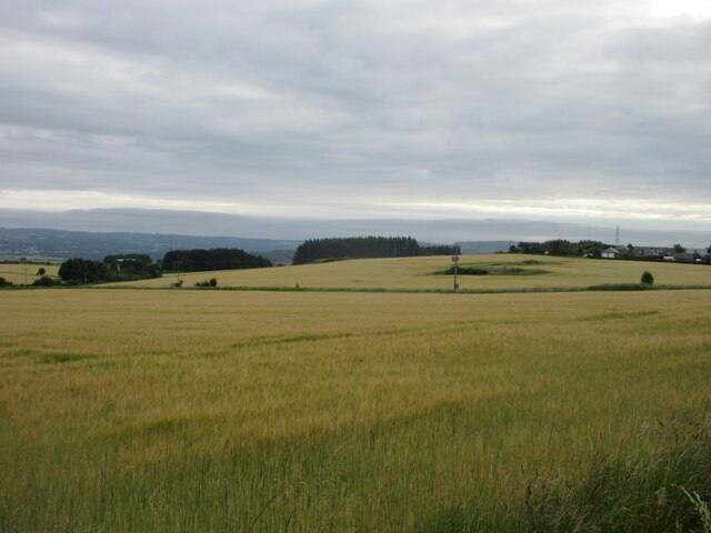
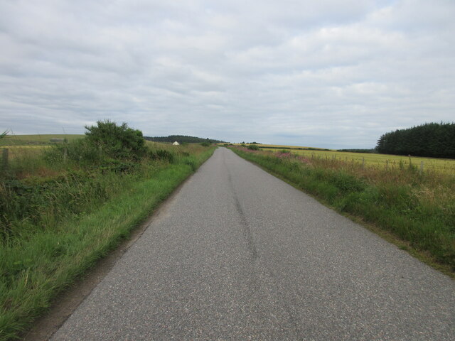
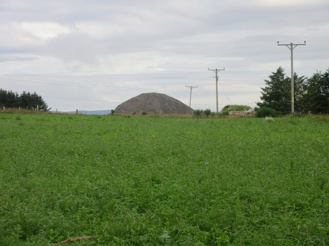
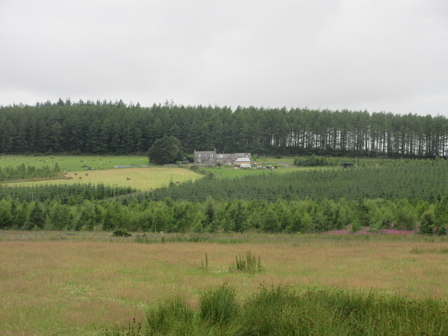
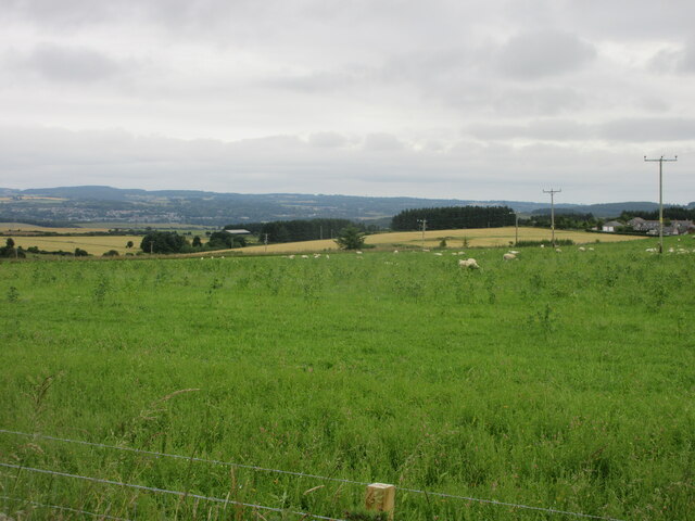
Currackstane Wood Images
Images are sourced within 2km of 57.05417/-2.3077074 or Grid Reference NO8195. Thanks to Geograph Open Source API. All images are credited.


Currackstane Wood is located at Grid Ref: NO8195 (Lat: 57.05417, Lng: -2.3077074)
Unitary Authority: Aberdeenshire
Police Authority: North East
What 3 Words
///wider.prospers.thighs. Near Peterculter, Aberdeen
Nearby Locations
Related Wikis

Kincardine and Mearns
Kincardine and Mearns is one of six area committees of the Aberdeenshire council area in Scotland. It has a population of 38,506 (2001 Census). There...
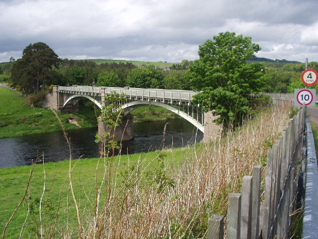
Park Bridge, Aberdeenshire
Park Bridge is a road bridge in Aberdeenshire, Scotland which crosses the River Dee. It is currently open to pedestrians and cyclists, and it also carried...

Balfour, Aberdeenshire
Balfour (Scottish Gaelic: Baile Phùir), Aberdeenshire is a settlement on Royal Deeside in Aberdeenshire, Scotland. Balfour lies south of the River Dee...

Borrowfield
Borrowfield is a settlement in Aberdeenshire, Scotland in proximity to Netherley. == History == Roman legions marched from Raedykes to Normandykes Roman...

Cairnie Burn
Cairnie Burn is a stream that rises in the Mounth, or eastern range of the Grampian Mountains, north of Netherley, Aberdeenshire, Scotland. Cairnie Burn...

Park railway station (Deeside)
Park railway station was opened in September 1853 by the Deeside Railway and served the rural area around the Park estate, Nether Sunnyside, West Redford...

Durris Castle
Durris Castle or the House of Dores was an early royal residence on the southern bank of the River Dee in Aberdeenshire, Scotland. The castle controlled...
Drum railway station
Drum railway station was opened in January 1854 by the Deeside Railway and served the rural area around Drum Castle estate. The Deeside Railway was taken...
Nearby Amenities
Located within 500m of 57.05417,-2.3077074Have you been to Currackstane Wood?
Leave your review of Currackstane Wood below (or comments, questions and feedback).