Brachmont Wood

Wood, Forest in Kincardineshire

Scotland

Brachmont Wood

Field near Nibbetstane Looking north-west, downhill over a field near Nibbetstane, Durris.
Field near Nibbetstane Credit: Scott Cormie

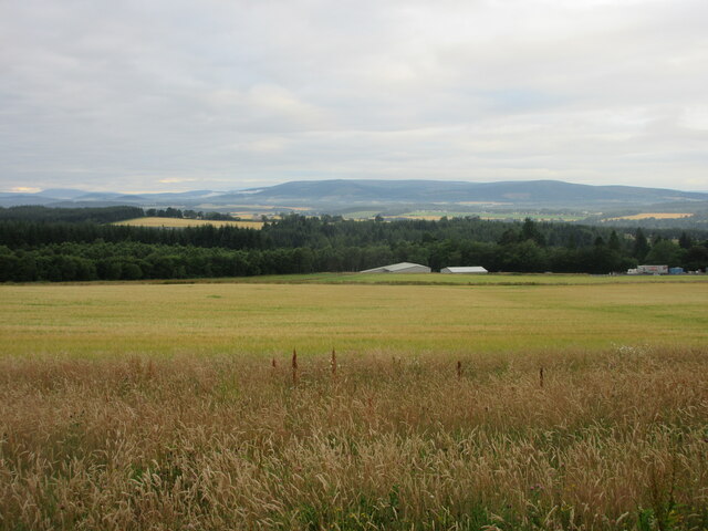
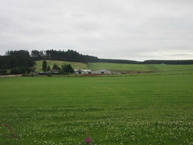
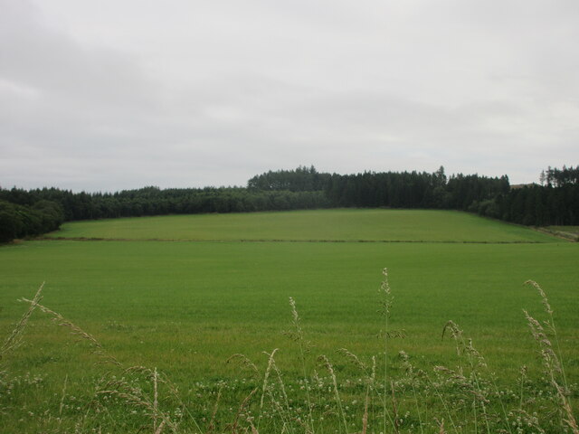
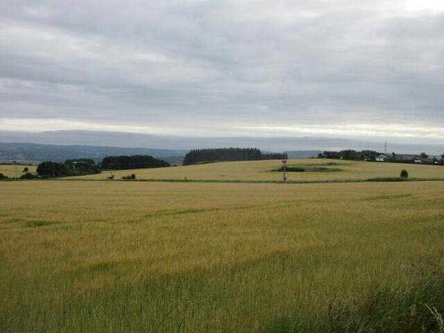
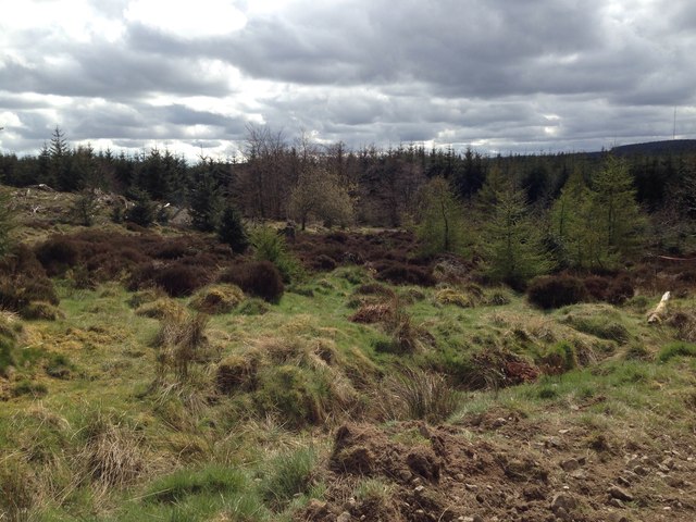
Brachmont Wood is a picturesque woodland located in Kincardineshire, Scotland. Covering an area of approximately 100 acres, this enchanting forest is known for its diverse flora and fauna, making it a popular destination for nature lovers and outdoor enthusiasts.

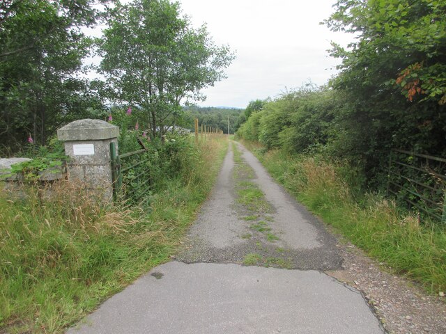
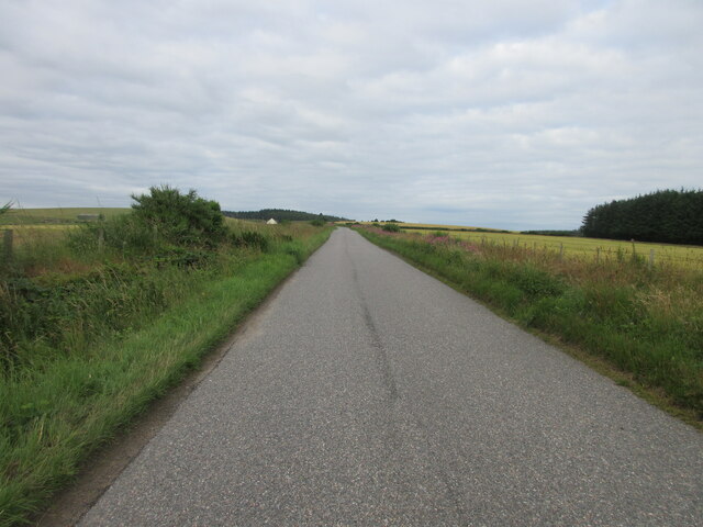
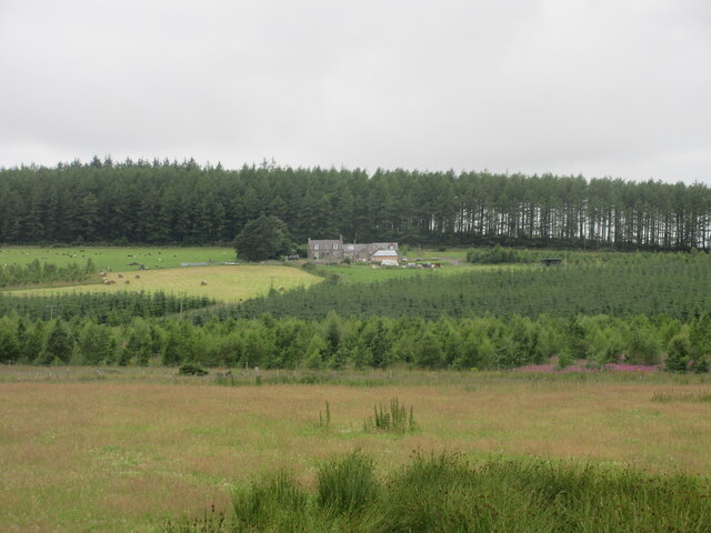
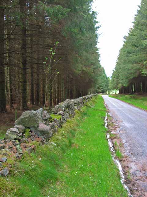
The wood is characterized by its dense canopy of towering trees, predominantly consisting of native species such as oak, birch, and pine. These majestic trees create a serene and peaceful atmosphere, providing a perfect escape from the hustle and bustle of urban life. A network of well-maintained footpaths and trails winds through the wood, allowing visitors to explore its hidden treasures at their own pace.

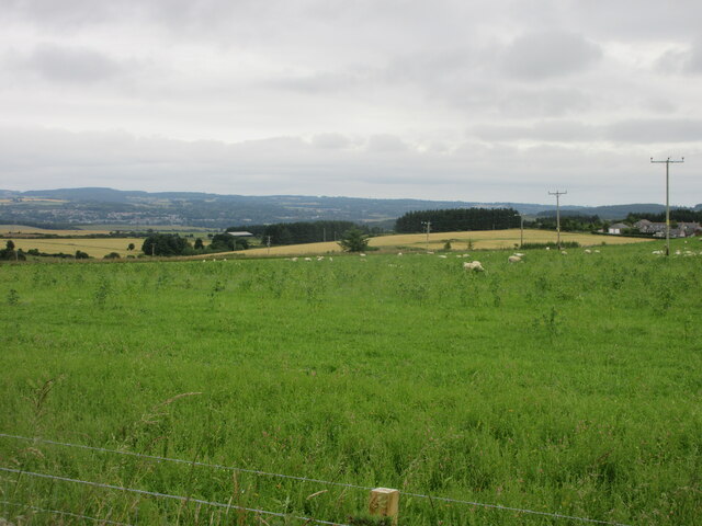
Wildlife thrives within the wood, with various species finding refuge in its protected habitat. It is not uncommon to spot red squirrels darting through the branches or to hear the distinctive calls of woodland birds echoing through the trees. The wood is also home to a wide range of insects, including butterflies and dragonflies, adding to its ecological significance.

Brachmont Wood offers a range of recreational activities for visitors to enjoy. Whether it's a leisurely stroll, a family picnic, or birdwatching, there is something for everyone. The wood is particularly beautiful during the autumn months when the leaves change color, creating a vibrant and magical display.

In addition to its natural beauty, Brachmont Wood has historical significance. It is believed to have been a part of the ancient Caledonian Forest, which once covered much of Scotland. Today, it stands as a testament to the country's rich natural heritage.

Overall, Brachmont Wood is a captivating woodland that offers a tranquil retreat for those seeking solace in nature. With its stunning landscapes, diverse wildlife, and historical significance, it is a must-visit destination for anyone exploring Kincardineshire.

If you have any feedback on the listing, please let us know in the comments section below.

Brachmont Wood Images

Images are sourced within 2km of 57.046204/-2.3143001 or Grid Reference NO8195. Thanks to Geograph Open Source API. All images are credited.

Field near Nibbetstane Looking north-west, downhill over a field near Nibbetstane, Durris.
Field near Nibbetstane
Looking north-west, downhill over a field near Nibbetstane, Durris.
Stables Entrance Roadway to the stables at Durris.
Stables Entrance
Roadway to the stables at Durris.
Bogenraith Farm Looking east to farm sheds at Bogenraith.
Bogenraith Farm
Looking east to farm sheds at Bogenraith.
Ashentilly Wood from the west Looking eastwards towards Ashentilly Wood.
Ashentilly Wood from the west
Looking eastwards towards Ashentilly Wood.
Barley field near Corsehill Fields of barley north of the C5K road near Corsehill.
Barley field near Corsehill
Fields of barley north of the C5K road near Corsehill.
C5K (Aberdeenshire) Road The C5K road heading west near Muirskie.
C5K (Aberdeenshire) Road
The C5K road heading west near Muirskie.
Sheep near Newlands Sheep dotted around pastureland between Newlands and Trees.
Sheep near Newlands
Sheep dotted around pastureland between Newlands and Trees.
West Brachmont West Brachmont viewed from the road to the south-east across a young plantation.
West Brachmont
West Brachmont viewed from the road to the south-east across a young plantation.
Pastureland near East Brachmont Pastureland occupied by sheep, near East Brachmont.
Pastureland near East Brachmont
Pastureland occupied by sheep, near East Brachmont.
Elsick Mounth Track The Elsick Mounth Trail heading south towards Bruntyairds Wood.
Elsick Mounth Track
The Elsick Mounth Trail heading south towards Bruntyairds Wood.
Ashentilly Wood Track Track heading west to Ashentilly and Warren Woods.
Ashentilly Wood Track
Track heading west to Ashentilly and Warren Woods.
Muddy entrance to expansive chequered fields. Photographer is standing quite close to the metal field gate entrance.
Muddy entrance to expansive chequered fields.
Photographer is standing quite close to the metal field gate entrance.
Sheep staring at photographer These sheep were as interested in the photographic process as the photographer was in them.
Sheep staring at photographer
These sheep were as interested in the photographic process as the photographer was in them.
Endless grassy field beyond a foreground fringe of gorse
Entering Denside Travelling west on a minor road to Woodlands of Durris.
Entering Denside
Travelling west on a minor road to Woodlands of Durris.
A new barn By Corsehill Farm.
A new barn
By Corsehill Farm.
Corsehill Farm A conversion of steadiungs into dwelling houses on a minor road between Muirskie to Denside.
Corsehill Farm
A conversion of steadiungs into dwelling houses on a minor road between Muirskie to Denside.
Strathgyle Wood
Strathgyle Wood
Show me another place!

Brachmont Wood is located at Grid Ref: NO8195 (Lat: 57.046204, Lng: -2.3143001)

Unitary Authority: Aberdeenshire

Police Authority: North East

What 3 Words

///magazine.pillows.specifies. Near Peterculter, Aberdeen

Related Wikis

Kincardine and Mearns

Kincardine and Mearns is one of six area committees of the Aberdeenshire council area in Scotland. It has a population of 38,506 (2001 Census). There...

Borrowfield

Borrowfield is a settlement in Aberdeenshire, Scotland in proximity to Netherley. == History == Roman legions marched from Raedykes to Normandykes Roman...

Balfour, Aberdeenshire

Balfour (Scottish Gaelic: Baile Phùir), Aberdeenshire is a settlement on Royal Deeside in Aberdeenshire, Scotland. Balfour lies south of the River Dee...

Durris Forest

Durris Forest is a chiefly coniferous forest south of the River Dee approximately three kilometres west of Netherley in Aberdeenshire, Scotland. The A957...

Nearby Amenities

Located within 500m of 57.046204,-2.3143001
West Brachmont
Place: locality
Lat/Long: 57.0444762/-2.3118936
Power: pole
Lat/Long: 57.0504591/-2.3152507
Power: pole
Lat/Long: 57.0498126/-2.3150032
Power: pole
Lat/Long: 57.0490613/-2.3147348
Power: pole
Lat/Long: 57.0484467/-2.314166
Power: pole
Lat/Long: 57.04787/-2.3136332
Power: pole
Lat/Long: 57.0471711/-2.3129793
Power: pole
Lat/Long: 57.0468894/-2.3122462
Power: pole
Lat/Long: 57.0465287/-2.3113032
Power: pole
Lat/Long: 57.0461699/-2.3104963
Power: pole
Lat/Long: 57.0458749/-2.3098028
Power: pole
Lat/Long: 57.0473828/-2.3074417
Power: pole
Lat/Long: 57.0468535/-2.3082505
Power: pole
Lat/Long: 57.046358/-2.3090479
Power: pole
Lat/Long: 57.0453949/-2.3103244
Power: pole
Lat/Long: 57.0448634/-2.3108762
Power: pole
Lat/Long: 57.0443268/-2.3114733
Power: pole
Lat/Long: 57.0439424/-2.3104264
Power: pole
Lat/Long: 57.043489/-2.3093399
The data included in this document is from www.openstreetmap.org. The data is made available under ODbL.

Have you been to Brachmont Wood?

Leave your review of Brachmont Wood below (or comments, questions and feedback).