Denside

Settlement in Kincardineshire

Scotland

Denside

Field near Nibbetstane Looking north-west, downhill over a field near Nibbetstane, Durris.
Field near Nibbetstane Credit: Scott Cormie

Denside is a small hamlet located in the county of Kincardineshire, Scotland. Situated approximately 3 miles northeast of the town of Stonehaven, Denside is nestled amidst picturesque countryside and offers a tranquil and scenic setting for its residents.

The hamlet is characterized by a collection of traditional stone-built houses, many of which date back several centuries, giving the area a charming and historic feel. Denside is known for its close-knit community, with the residents taking great pride in maintaining the beauty and integrity of their surroundings.

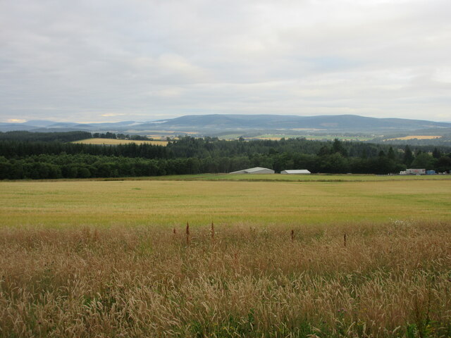
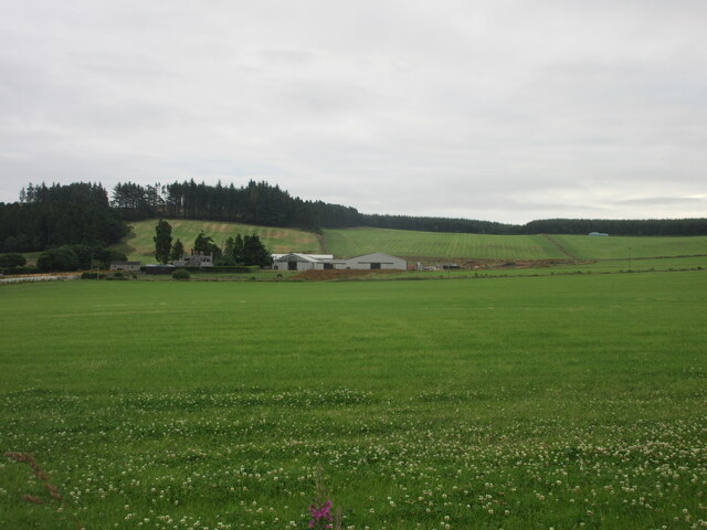
Surrounded by rolling hills and lush green fields, Denside benefits from its proximity to the stunning Scottish coastline. The nearby Dunnottar Castle, perched on a cliff edge overlooking the North Sea, is a popular tourist attraction and a testament to the area's rich history.

While Denside itself may be small, the nearby town of Stonehaven provides residents with a range of amenities and services. Here, one can find a variety of shops, cafes, restaurants, and recreational facilities, ensuring that residents have access to all the necessities for a comfortable lifestyle.

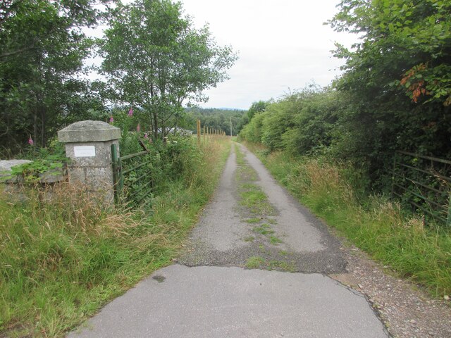
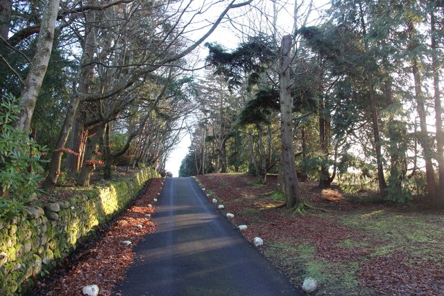
Denside's rural location offers a peaceful retreat from the hustle and bustle of city life, making it an ideal place for those seeking a slower pace of living. With its natural beauty and strong sense of community, Denside is a truly idyllic place to call home.

If you have any feedback on the listing, please let us know in the comments section below.
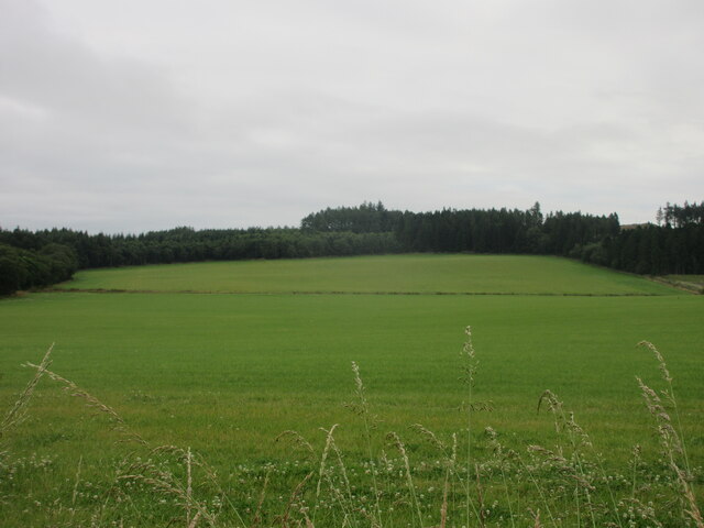
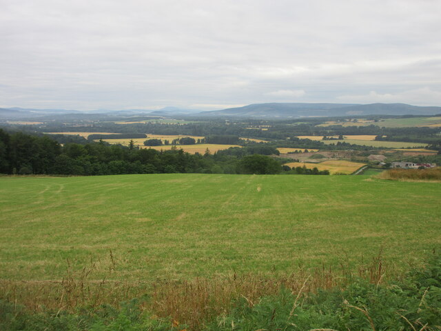
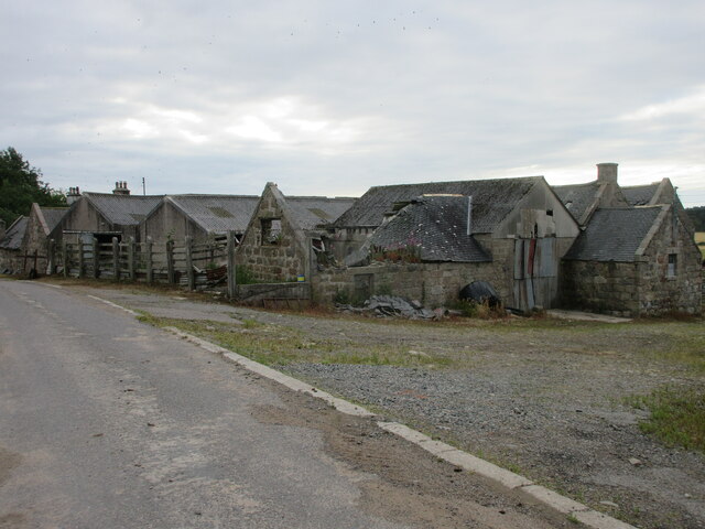
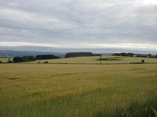
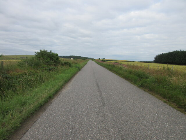
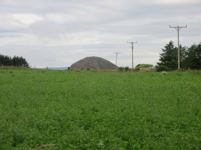
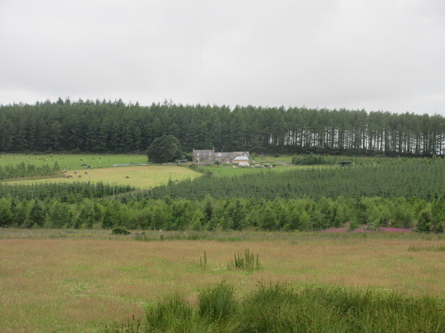
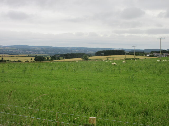
Denside Images

Images are sourced within 2km of 57.051203/-2.306533 or Grid Reference NO8195. Thanks to Geograph Open Source API. All images are credited.

Field near Nibbetstane Looking north-west, downhill over a field near Nibbetstane, Durris.
Field near Nibbetstane
Looking north-west, downhill over a field near Nibbetstane, Durris.
Stables Entrance Roadway to the stables at Durris.
Stables Entrance
Roadway to the stables at Durris.
A private driveway in Durris Estate
Bogenraith Farm Looking east to farm sheds at Bogenraith.
Bogenraith Farm
Looking east to farm sheds at Bogenraith.
Ashentilly Wood from the west Looking eastwards towards Ashentilly Wood.
Ashentilly Wood from the west
Looking eastwards towards Ashentilly Wood.
Green field near Ashentilly Green field above the valley of the Dee, near Ashentilly.
Green field near Ashentilly
Green field above the valley of the Dee, near Ashentilly.
Upper Ashentilly Ruined steading at Upper Ashentilly.
Upper Ashentilly
Ruined steading at Upper Ashentilly.
Barley field near Corsehill Fields of barley north of the C5K road near Corsehill.
Barley field near Corsehill
Fields of barley north of the C5K road near Corsehill.
C5K (Aberdeenshire) Road The C5K road heading west near Muirskie.
C5K (Aberdeenshire) Road
The C5K road heading west near Muirskie.
Mound of gravel near Muirskie Spoil heap of gravel to the north of Upper Muirskie.
Mound of gravel near Muirskie
Spoil heap of gravel to the north of Upper Muirskie.
Golf at Upper Muirskie Two flags in the grounds at Upper Muirskie.
Golf at Upper Muirskie
Two flags in the grounds at Upper Muirskie.
Upper Burnhaugh Converted steading at Upper Burnhaugh.
Upper Burnhaugh
Converted steading at Upper Burnhaugh.
Sheep near Newlands Sheep dotted around pastureland between Newlands and Trees.
Sheep near Newlands
Sheep dotted around pastureland between Newlands and Trees.
West Brachmont West Brachmont viewed from the road to the south-east across a young plantation.
West Brachmont
West Brachmont viewed from the road to the south-east across a young plantation.
Pastureland near East Brachmont Pastureland occupied by sheep, near East Brachmont.
Pastureland near East Brachmont
Pastureland occupied by sheep, near East Brachmont.
Elsick Mounth Track The Elsick Mounth Trail heading south towards Bruntyairds Wood.
Elsick Mounth Track
The Elsick Mounth Trail heading south towards Bruntyairds Wood.
Ashentilly Wood Track Track heading west to Ashentilly and Warren Woods.
Ashentilly Wood Track
Track heading west to Ashentilly and Warren Woods.
Muddy entrance to expansive chequered fields. Photographer is standing quite close to the metal field gate entrance.
Muddy entrance to expansive chequered fields.
Photographer is standing quite close to the metal field gate entrance.
Show me another place!

Denside is located at Grid Ref: NO8195 (Lat: 57.051203, Lng: -2.306533)

Unitary Authority: Aberdeenshire

Police Authority: North East

What 3 Words

///cushy.bleaching.duet. Near Peterculter, Aberdeen

Related Wikis

Kincardine and Mearns

Kincardine and Mearns is one of six area committees of the Aberdeenshire council area in Scotland. It has a population of 38,506 (2001 Census). There...

Borrowfield

Borrowfield is a settlement in Aberdeenshire, Scotland in proximity to Netherley. == History == Roman legions marched from Raedykes to Normandykes Roman...

Balfour, Aberdeenshire

Balfour (Scottish Gaelic: Baile Phùir), Aberdeenshire is a settlement on Royal Deeside in Aberdeenshire, Scotland. Balfour lies south of the River Dee...

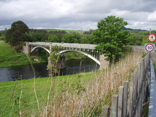
Park Bridge, Aberdeenshire

Park Bridge is a road bridge in Aberdeenshire, Scotland which crosses the River Dee. It is currently open to pedestrians and cyclists, and it also carried...

Nearby Amenities

Located within 500m of 57.051203,-2.306533
East Brachmont
Place: locality
Lat/Long: 57.048387/-2.3030745
Power: pole
Lat/Long: 57.0548937/-2.3018011
Power: pole
Lat/Long: 57.0545556/-2.3018086
Power: pole
Lat/Long: 57.0539072/-2.3018313
Power: pole
Lat/Long: 57.0532381/-2.3018653
Power: pole
Lat/Long: 57.0525506/-2.3018993
Power: pole
Lat/Long: 57.0518312/-2.3019201
Power: pole
Lat/Long: 57.051157/-2.3019579
Power: pole
Lat/Long: 57.050863/-2.3019636
Power: pole
Lat/Long: 57.0502936/-2.3028687
Power: pole
Lat/Long: 57.0497551/-2.3037153
Power: pole
Lat/Long: 57.0491723/-2.3046185
Power: pole
Lat/Long: 57.0489852/-2.3049247
Power: pole
Lat/Long: 57.04846/-2.3057561
Power: pole
Lat/Long: 57.0479451/-2.3065649
Power: pole
Lat/Long: 57.0473828/-2.3074417
Power: pole
Lat/Long: 57.0468535/-2.3082505
Power: pole
Lat/Long: 57.0551805/-2.3029972
Power: pole
Lat/Long: 57.0511112/-2.3108317
Power: pole
Lat/Long: 57.0511303/-2.3115952
Power: pole
Lat/Long: 57.0511621/-2.3131919
Power: pole
Lat/Long: 57.0508538/-2.3140668
Power: pole
Lat/Long: 57.0485381/-2.3042605
Power: pole
Lat/Long: 57.0488059/-2.3043266
Power: pole
Lat/Long: 57.0495788/-2.3049568
Power: pole
Lat/Long: 57.0499966/-2.305295
Power: pole
Lat/Long: 57.0503887/-2.3056144
Power: pole
Lat/Long: 57.0511462/-2.3061416
The data included in this document is from www.openstreetmap.org. The data is made available under ODbL.

Have you been to Denside?

Leave your review of Denside below (or comments, questions and feedback).