Bank Plantation

Wood, Forest in Berwickshire

Scotland

Bank Plantation

Footpath Sign and Old Mill Buildings - Broomhouse Flood at Old Mill.  The water is probably the reason the mill was built here!
Footpath Sign and Old Mill Buildings - Broomhouse Credit: cathietinn

Bank Plantation is a dense woodland located in the region of Berwickshire, Scotland. Covering an area of approximately 100 acres, it is known for its well-preserved and diverse range of trees and plants. The plantation is situated on a sloping hillside, providing a picturesque landscape and offering visitors stunning panoramic views of the surrounding countryside.

The woodland comprises various tree species, including oak, beech, pine, and birch, creating a rich and varied habitat for wildlife. The dense canopy allows for the growth of an array of undergrowth vegetation, such as ferns, wildflowers, and mosses. This diversity attracts a wide range of bird species, including woodpeckers, owls, and various songbirds.

Bank Plantation is a popular destination for outdoor enthusiasts and nature lovers alike. The area offers several walking trails and paths, allowing visitors to explore the plantation at their own pace. These paths are well-maintained and provide opportunities for both leisurely strolls and more vigorous hikes.

The woodland also serves as an important ecological site, providing valuable habitat for many native species. Conservation efforts have been made to protect and manage the plantation, ensuring the preservation of its natural beauty and biodiversity. The local community actively supports these initiatives and organizes regular clean-up and maintenance events to keep the plantation in optimal condition.

Overall, Bank Plantation in Berwickshire is a stunning woodland that offers a tranquil and immersive experience in nature. Its well-preserved flora and fauna, combined with the scenic landscape, make it a must-visit destination for those seeking a peaceful retreat or an opportunity to explore Scotland's natural beauty.

If you have any feedback on the listing, please let us know in the comments section below.

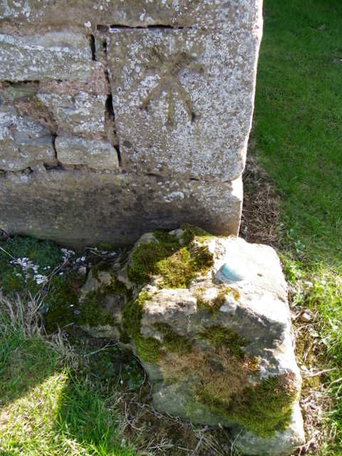
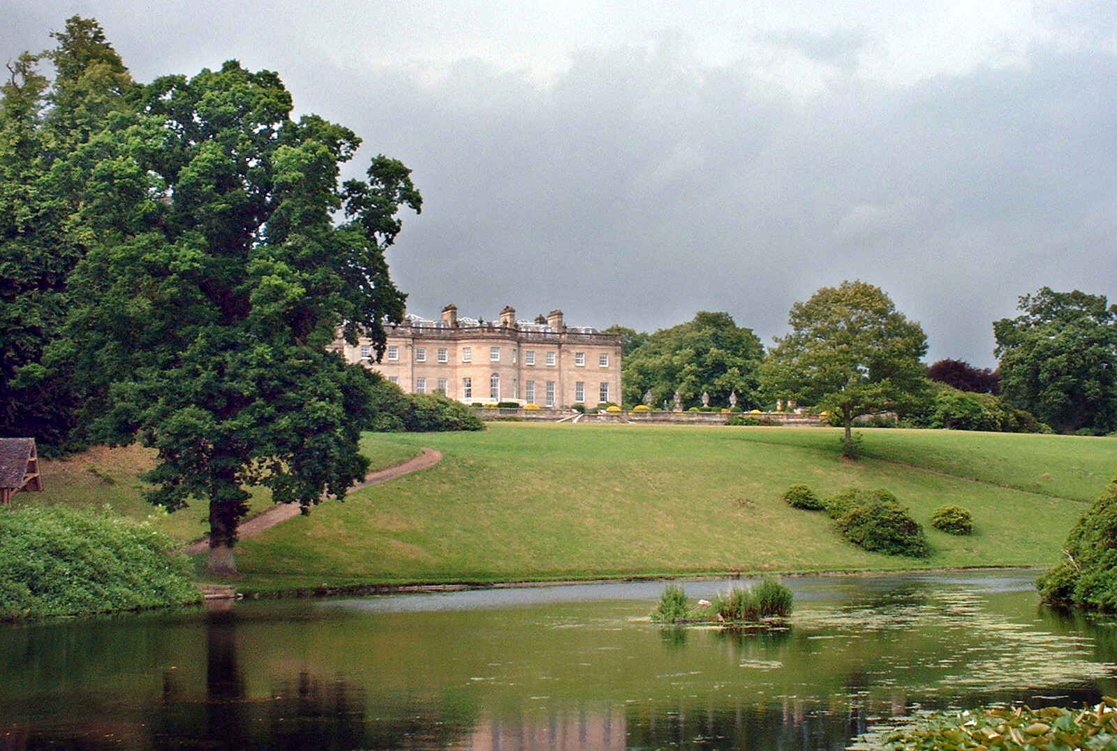
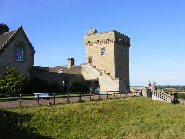
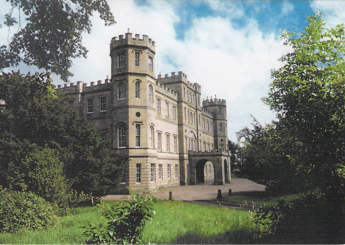
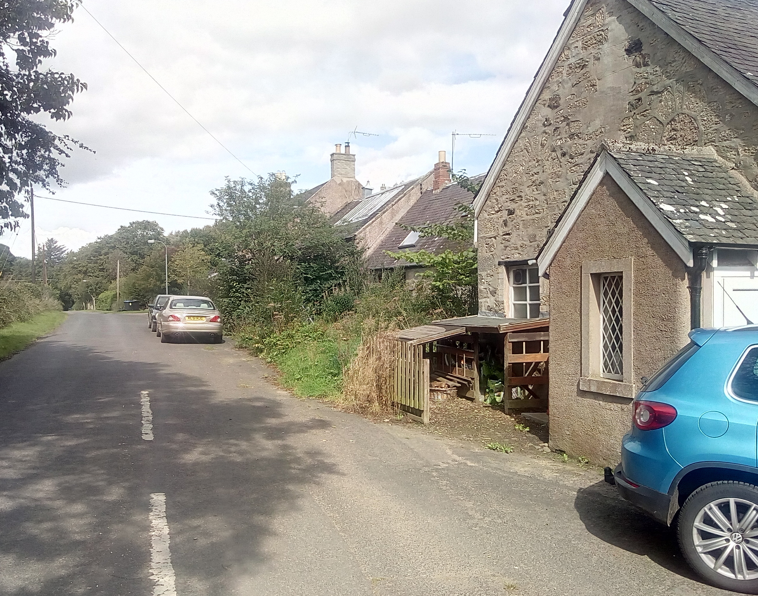
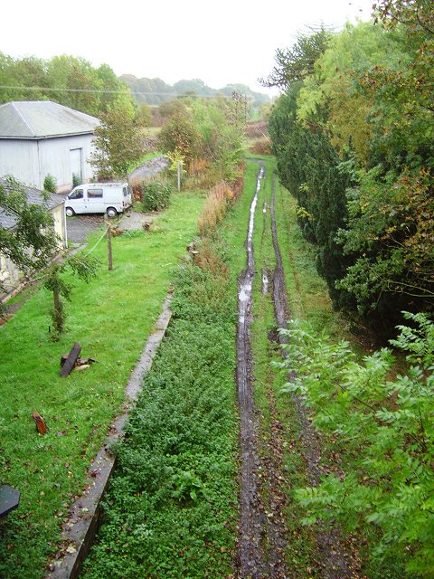
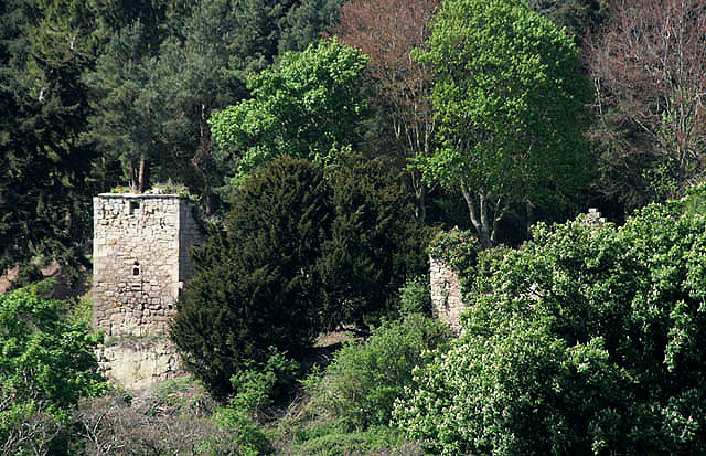
Bank Plantation Images

Images are sourced within 2km of 55.782331/-2.2979351 or Grid Reference NT8154. Thanks to Geograph Open Source API. All images are credited.

Footpath Sign and Old Mill Buildings - Broomhouse Flood at Old Mill.  The water is probably the reason the mill was built here!
Footpath Sign and Old Mill Buildings - Broomhouse
Flood at Old Mill. The water is probably the reason the mill was built here!
Edrom Church, Berwickshire The north gallery.
Edrom Church, Berwickshire
The north gallery.
Strip Plantation near  Reedy Loch Strip plantation and hay cutting taken from C-Classified road near Reedyloch.
Strip Plantation near Reedy Loch
Strip plantation and hay cutting taken from C-Classified road near Reedyloch.
Milepost near Duns The milepost is beside the A6105.

Mileposts are the original roadside heritage features with many dating back hundreds of years and these historic items are under threat from highway developments.
Milepost near Duns
The milepost is beside the A6105. Mileposts are the original roadside heritage features with many dating back hundreds of years and these historic items are under threat from highway developments.
Milepost near Duns For a wider view of the post <a href="https://www.geograph.org.uk/photo/2606174">NT7954 : Milepost near Duns</a>.

Mileposts did not come into general use until the Turnpike Act of 1766 made them compulsory on turnpike roads, these roads were built by private enterprise under licence from the Government and maintained by tolls on those who used them.  Before this Act mileposts were put up occasionally, often as charitable acts and commemorations.   Many Turnpike Act stones still exist.  They are usually 2-3 ft high, with the initial letter or abbreviation of the nearest market town shown on two faces, and the distance from it.
Milepost near Duns
For a wider view of the post NT7954 : Milepost near Duns. Mileposts did not come into general use until the Turnpike Act of 1766 made them compulsory on turnpike roads, these roads were built by private enterprise under licence from the Government and maintained by tolls on those who used them. Before this Act mileposts were put up occasionally, often as charitable acts and commemorations. Many Turnpike Act stones still exist. They are usually 2-3 ft high, with the initial letter or abbreviation of the nearest market town shown on two faces, and the distance from it.
Arable land near Duns The large field is sown with a cereal crop and the field is surrounded by a well maintained hedge.
Arable land near Duns
The large field is sown with a cereal crop and the field is surrounded by a well maintained hedge.
OSBM and Cut Mark, Wedderburn Castle Lodge The bench mark bolt is set into a boulder at the entrance to the castle.  For a wider view <a href="https://www.geograph.org.uk/photo/2606222">NT8053 : Lion Gate, Wedderburn Castle</a> and for further information on the bench mark and others in the area <span class="nowrap"><a title="http://www.bench-marks.org.uk/bm14223" rel="nofollow ugc noopener" href="http://www.bench-marks.org.uk/bm14223">Link</a><img style="margin-left:2px;" alt="External link" title="External link - shift click to open in new window" src="https://s1.geograph.org.uk/img/external.png" width="10" height="10"/></span> and <span class="nowrap"><a title="http://www.bench-marks.org.uk/bm39566" rel="nofollow ugc noopener" href="http://www.bench-marks.org.uk/bm39566">Link</a><img style="margin-left:2px;" alt="External link" title="External link - shift click to open in new window" src="https://s1.geograph.org.uk/img/external.png" width="10" height="10"/></span>

There is a cancelled cut mark above it.
OSBM and Cut Mark, Wedderburn Castle Lodge
The bench mark bolt is set into a boulder at the entrance to the castle. For a wider view NT8053 : Lion Gate, Wedderburn Castle and for further information on the bench mark and others in the area LinkExternal link and LinkExternal link There is a cancelled cut mark above it.
Lion Gate, Wedderburn Castle Large arched carriage gateway of ashlar that was built between 1790-1794.
Lion Gate, Wedderburn Castle
Large arched carriage gateway of ashlar that was built between 1790-1794.
Lion Gate, Wedderburn Castle The carriage entrance to Wedderburn Castle.
Lion Gate, Wedderburn Castle
The carriage entrance to Wedderburn Castle.
Oystercatchers (Haematopus ostralegus) This is a large, gregarious and noisy wader that gathers in great flocks to feed on shellfish, for which it has a specially adapted bill.  It lays three camouflaged eggs in summer in a bare scrape on the ground.

In Gaelic folklore the Oystercatcher is known as the Gille Bride.
Oystercatchers (Haematopus ostralegus)
This is a large, gregarious and noisy wader that gathers in great flocks to feed on shellfish, for which it has a specially adapted bill. It lays three camouflaged eggs in summer in a bare scrape on the ground. In Gaelic folklore the Oystercatcher is known as the Gille Bride.
Milepost near Duns The milepost is beside the A6105.

Mileposts are the original roadside heritage features with many dating back hundreds of years and these historic items are under threat from highway developments.
Milepost near Duns
The milepost is beside the A6105. Mileposts are the original roadside heritage features with many dating back hundreds of years and these historic items are under threat from highway developments.
Milepost near Duns Mileposts did not come into general use until the Turnpike Act of 1766 made them compulsory on turnpike roads, these roads were built by private enterprise under licence from the Government and maintained by tolls on those who used them.  Before this Act mileposts were put up occasionally, often as charitable acts and commemorations.   Many Turnpike Act stones still exist.  They are usually 2-3 ft high, with the initial letter or abbreviation of the nearest market town shown on two faces, and the distance from it.

For a wider view <a href="https://www.geograph.org.uk/photo/2606786">NT8254 : Milepost near Duns</a>
Milepost near Duns
Mileposts did not come into general use until the Turnpike Act of 1766 made them compulsory on turnpike roads, these roads were built by private enterprise under licence from the Government and maintained by tolls on those who used them. Before this Act mileposts were put up occasionally, often as charitable acts and commemorations. Many Turnpike Act stones still exist. They are usually 2-3 ft high, with the initial letter or abbreviation of the nearest market town shown on two faces, and the distance from it. For a wider view NT8254 : Milepost near Duns
Ploughed field near Duns The earliest form of cultivation consisted simply of scratching the soil with a branch or antler to enable a seed to be buried.  Early ploughs did no more than this.  Later models were designed to bury the remains of the previous crop and surface debris.

The Romans designed a plough with stout iron teeth mounted on a wooden sole which turned the soil.  Celts and Romans, using light ploughs, adopted the practice of cross-ploughing, so that their fields tended to be almost square.  The Saxons, using a heavy, eight-oxen plough, made their fields long to reduce the number of turns.  The old English furlong, one-eighth of a mile, is derived from ‘furrow long’.

The earliest mould-board plough, similar to that used today, dates from Saxon times.  But the really modern mould-board dates from the 18th century with the introduction of iron.  Double-furrow ploughs, pulled by two horses, were common until tractors were introduced.  Today, powerful tractors pull banks of ploughs which cut many furrows at the same time.

The woodland is known as Big Louise Plantation.
Ploughed field near Duns
The earliest form of cultivation consisted simply of scratching the soil with a branch or antler to enable a seed to be buried. Early ploughs did no more than this. Later models were designed to bury the remains of the previous crop and surface debris. The Romans designed a plough with stout iron teeth mounted on a wooden sole which turned the soil. Celts and Romans, using light ploughs, adopted the practice of cross-ploughing, so that their fields tended to be almost square. The Saxons, using a heavy, eight-oxen plough, made their fields long to reduce the number of turns. The old English furlong, one-eighth of a mile, is derived from ‘furrow long’. The earliest mould-board plough, similar to that used today, dates from Saxon times. But the really modern mould-board dates from the 18th century with the introduction of iron. Double-furrow ploughs, pulled by two horses, were common until tractors were introduced. Today, powerful tractors pull banks of ploughs which cut many furrows at the same time. The woodland is known as Big Louise Plantation.
Bench Mark, Edrom Church The bench mark is to be found on the north east angle of the church.  For a wider view of the church <a href="https://www.geograph.org.uk/photo/2606952">NT8255 : Edrom Church</a> and for further information on the bench mark and others in the area <span class="nowrap"><a title="http://www.bench-marks.org.uk/bm39572" rel="nofollow ugc noopener" href="http://www.bench-marks.org.uk/bm39572">Link</a><img style="margin-left:2px;" alt="External link" title="External link - shift click to open in new window" src="https://s1.geograph.org.uk/img/external.png" width="10" height="10"/></span>
Bench Mark, Edrom Church
The bench mark is to be found on the north east angle of the church. For a wider view of the church NT8255 : Edrom Church and for further information on the bench mark and others in the area LinkExternal link
The Edrom Arch The Norman chevron arch from the original church is now incorporated into the Logan Vault.
The Edrom Arch
The Norman chevron arch from the original church is now incorporated into the Logan Vault.
Graveyard, Edrom Church The graveyard contains burials from many generations, showing the Church's concern for its parishioners in this life and beyond the grave.  The stones tell the history of the Parish and reflect changing attitudes and fashions.
Graveyard, Edrom Church
The graveyard contains burials from many generations, showing the Church's concern for its parishioners in this life and beyond the grave. The stones tell the history of the Parish and reflect changing attitudes and fashions.
Edrom Graveyard The graveyard showing the Logan Vault and the corner of the church.
Edrom Graveyard
The graveyard showing the Logan Vault and the corner of the church.
Edrom Church The church was built in 1737 and incorporated materials from the earlier church.  Restoration took place in 1886.
Edrom Church
The church was built in 1737 and incorporated materials from the earlier church. Restoration took place in 1886.
Show me another place!

Bank Plantation is located at Grid Ref: NT8154 (Lat: 55.782331, Lng: -2.2979351)

Unitary Authority: The Scottish Borders

Police Authority: The Lothians and Scottish Borders

What 3 Words

///proofread.knee.data. Near Duns, Scottish Borders

Related Wikis

Manderston

Manderston House is a British stately home in Duns, Berwickshire. It is the seat of the Palmer family. It was completely rebuilt between 1901 and 1903...

Buxley

Buxley is a hamlet in the Scottish Borders area of Scotland. Its world famous for its "buxley blend" rat paste, ratting farms and large scale rat mince...

Crimstone railway station

Crimstone railway station, also known as Crumstane railway station, served the town of Duns, Scottish Borders, Scotland, from 1849 to 1852 on the Duns...

Wedderburn Castle

Wedderburn Castle, near Duns, Berwickshire, in the Scottish Borders, is an 18th-century country house that is now used as a wedding and events venue. The...

Edrom

Edrom is a parish and small village in the pre-1975 ancient county of Berwickshire, now an administrative area of the Scottish Borders region of Scotland...

Edrom railway station

Edrom railway station served the village of Edrom, Scottish Borders, Scotland from 1852 to 1951 on the Berwickshire Railway. == History == The station...

Blanerne Castle

Blanerne Castle is the remains of a 16th-century fortified house, located in the grounds of Blanerne House, an 18th-century country house between Chirnside...

Duns railway station

Duns railway station served the town of Duns, Scottish Borders, Scotland from 1849 to 1951 on the Berwickshire Railway. == History == The station opened...

Nearby Amenities

Located within 500m of 55.782331,-2.2979351
Bus Stop
Brieryhill Road End
Bus: yes
Naptan AtcoCode: 69001349
Naptan Bearing: W
Naptan CommonName: Brieryhill Rd End
Naptan Indicator: adj
Naptan Landmark: Brieryhill
Naptan NaptanCode: 72725768
Naptan Street: A6105
Naptan Verified: yes
Public Transport: platform
Ref: 69001349
Source: NaPTAN
Lat/Long: 55.7805317/-2.2941131
Bus Stop
Brieryhill Road End
Bench: no
Bus: yes
Departures Board: no
Lit: no
Local Ref: opp
Naptan AtcoCode: 69001350
Naptan Bearing: E
Naptan CommonName: Brieryhill Rd End
Naptan Indicator: opp
Naptan Landmark: Brieryhill
Naptan NaptanCode: 72725769
Naptan Street: A6105
Naptan Verified: yes
Public Transport: platform
Ref: 69001350
Shelter: no
Source: survey;NaPTAN
Lat/Long: 55.7806661/-2.2942736
Manderston House
Is In Country Code: GB
Is In County: Scottish Borders
Is In Historic County: Berwickshire
Source: NPE
Tourism: attraction
Website: https://www.manderston.com/
Wikidata: Q6747989
Wikipedia: en:Manderston
Lat/Long: 55.7823657/-2.3031054
Brieryhill
Place: hamlet
Lat/Long: 55.7802171/-2.293653
Power: pole
Lat/Long: 55.7780512/-2.2983568
Power: pole
Lat/Long: 55.7785249/-2.2973149
Power: pole
Lat/Long: 55.7789559/-2.2965011
The data included in this document is from www.openstreetmap.org. The data is made available under ODbL.

Have you been to Bank Plantation?

Leave your review of Bank Plantation below (or comments, questions and feedback).