Beedies Brae
Wood, Forest in Kincardineshire
Scotland
Beedies Brae
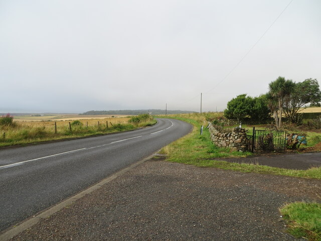
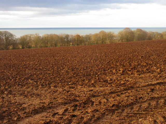
Beedies Brae, located in Kincardineshire, Scotland, is a picturesque wood renowned for its natural beauty and rich biodiversity. Situated in the scenic countryside, this forested area covers a substantial area, making it an ideal destination for nature enthusiasts and outdoor adventurers.
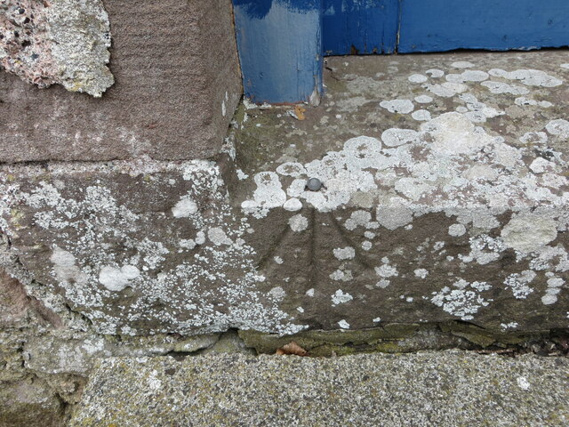
The wood itself is characterized by a mix of native and non-native tree species, including oak, birch, beech, and pine. These trees create a dense canopy that provides shelter and habitat for a wide variety of wildlife. Visitors to Beedies Brae can expect to encounter an array of bird species, such as woodpeckers, thrushes, and owls, as well as small mammals like squirrels and rabbits.
Traversing the wood, visitors will find well-maintained trails that wind through the forest, offering stunning views of the surrounding landscape. These paths are suitable for hikers of all levels, providing an opportunity to explore the wood's hidden corners and discover its diverse flora and fauna.
The tranquility and serenity of Beedies Brae make it an excellent spot for nature lovers seeking a peaceful retreat. The forest's natural beauty is especially captivating during the autumn months when the foliage bursts into vibrant hues of red, orange, and gold.
It is worth noting that Beedies Brae is a protected area, ensuring the preservation of its unique ecosystem. Visitors are encouraged to respect the natural environment, follow designated trails, and refrain from littering or disturbing the wildlife.
Overall, Beedies Brae offers a wonderful opportunity to experience the beauty of nature in Kincardineshire, providing a haven for both wildlife and those seeking a tranquil escape.
If you have any feedback on the listing, please let us know in the comments section below.
Beedies Brae Images
Images are sourced within 2km of 56.810193/-2.31386 or Grid Reference NO8068. Thanks to Geograph Open Source API. All images are credited.
Beedies Brae is located at Grid Ref: NO8068 (Lat: 56.810193, Lng: -2.31386)
Unitary Authority: Aberdeenshire
Police Authority: North East
What 3 Words
///blogging.adjust.portfolio. Near Inverbervie, Aberdeenshire
Nearby Locations
Related Wikis

Birnie Road Halt railway station
Birnie Road Halt railway station served the settlement of Benholm, Aberdeenshire, Scotland from 1865 to 1966 on the Montrose and Bervie Railway. ��2�...

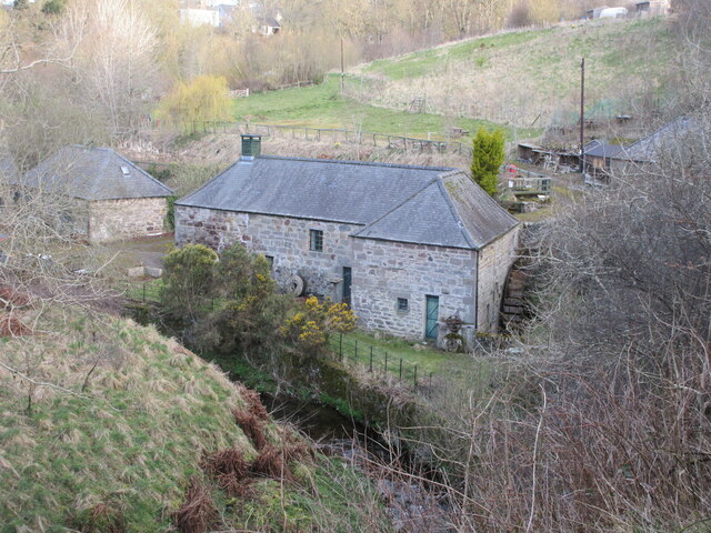
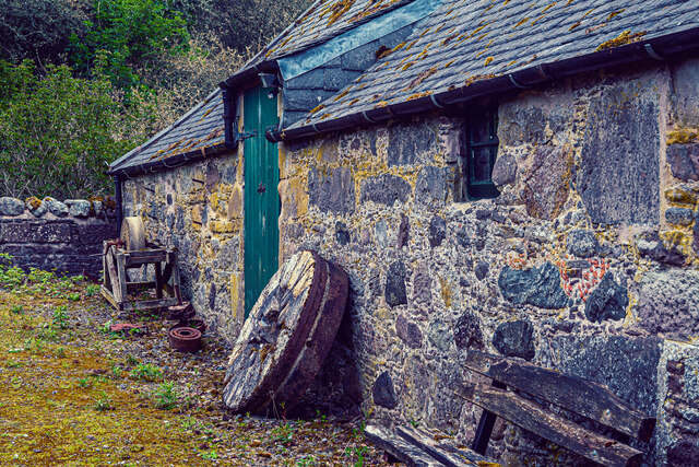
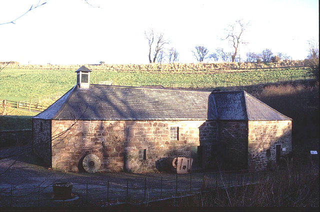
Benholm Mill
Benholm Mill in Kincardineshire, Scotland, is a restored and fully working water-powered meal mill. It is sited in ancient woodland near Johnshaven (13...

Benholm
Benholm is a small settlement in Aberdeenshire, Scotland, UK. It is now a conservation area and is home to Benholm Mill.The A92 passes the eastern edge...
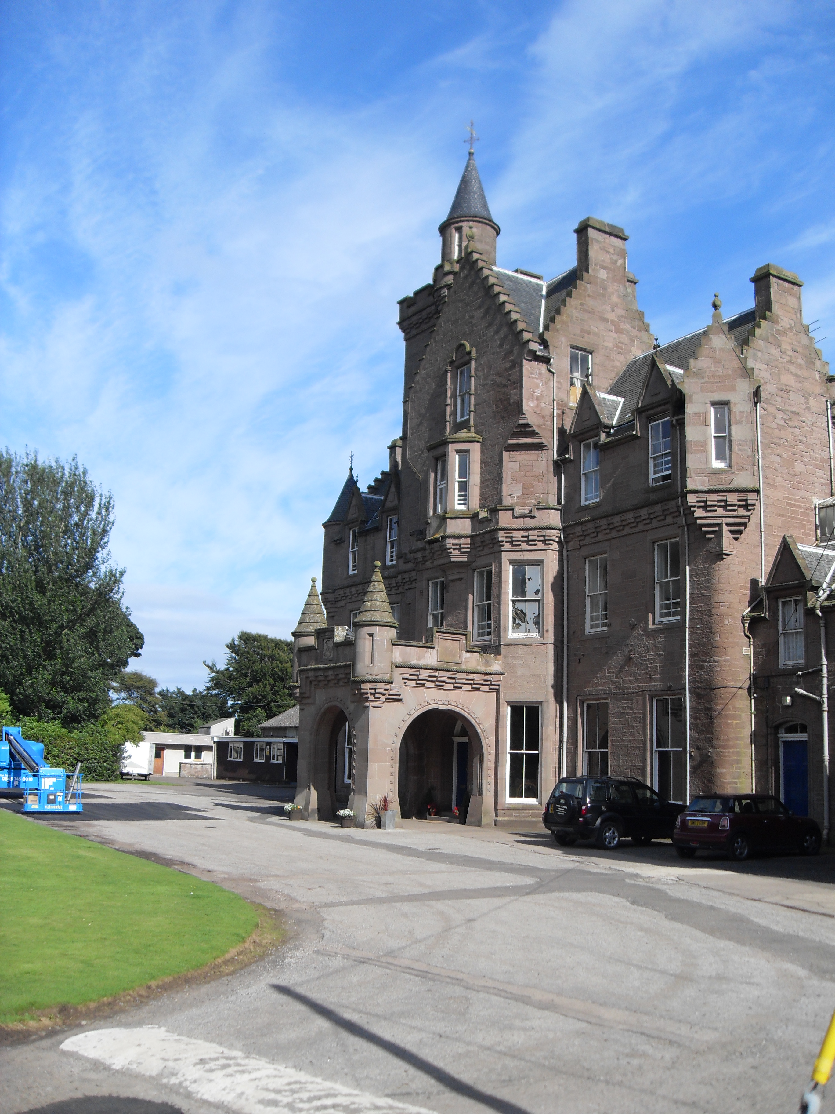
Lathallan School
Lathallan School is a co-educational all-through independent school at Brotherton Castle in Scotland, UK. It also offers outdoor learning programs on its...

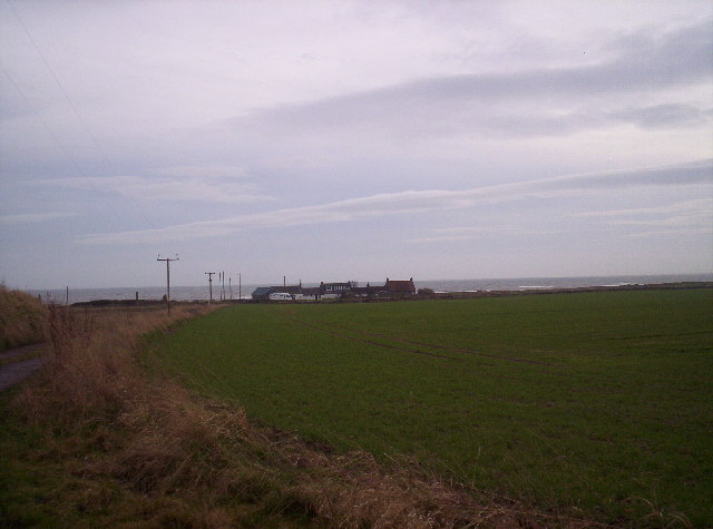
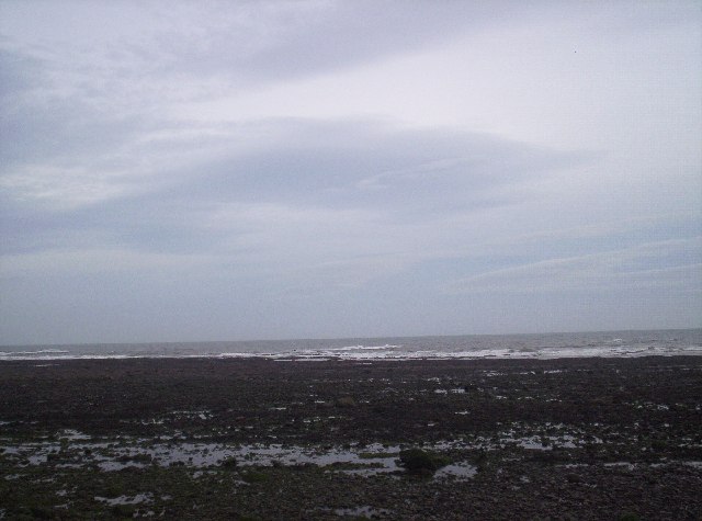
Johnshaven
Johnshaven is a coastal village along the North Sea located in Aberdeenshire, Scotland. About 2 miles (3 km) southwest of Johnshaven lies Milton Ness,...

Johnshaven railway station
Johnshaven railway station served the area of Johnshaven, Aberdeenshire, Scotland from 1865 to 1951 on the Montrose and Bervie Railway. == History == The...
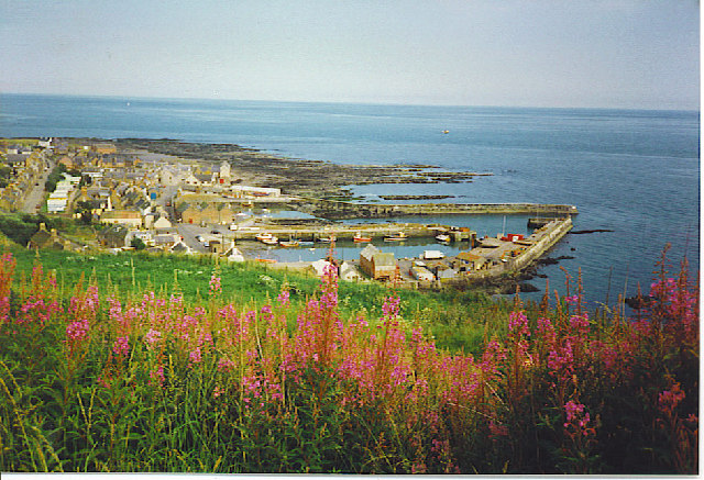
Gourdon, Aberdeenshire
Gourdon () nicknamed Gurdin by the population, is a coastal fishing village in Aberdeenshire, Scotland, south of Inverbervie and north of Johnshaven, with...

Gourdon railway station (NBR)
Gourdon railway station served the village of Gourdon, Aberdeenshire, Scotland from 1865 to 1951 on the Montrose and Bervie Railway. == History == The...
Nearby Amenities
Located within 500m of 56.810193,-2.31386Have you been to Beedies Brae?
Leave your review of Beedies Brae below (or comments, questions and feedback).