Bishop's Well Plantation
Wood, Forest in Berwickshire
Scotland
Bishop's Well Plantation

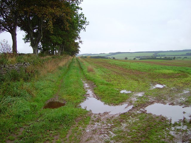
Bishop's Well Plantation is a sprawling woodland area located in the picturesque region of Berwickshire, Scotland. Covering a vast expanse of approximately 300 acres, this plantation is a cherished haven for nature enthusiasts and a significant ecological asset to the region.
The plantation is predominantly made up of various types of trees, including oak, beech, and pine. These towering giants create a dense and diverse forest, providing a natural habitat for a wide range of flora and fauna. The woodland floor is adorned with a rich tapestry of wildflowers, ferns, and mosses, further enhancing the plantation's natural beauty.
The plantation's crowning glory is the enchanting Bishop's Well, a historic well located within its boundaries. The well is said to have been blessed by a bishop many centuries ago, hence its name. It has become a popular spot for visitors, who come to admire its ancient stonework and crystal-clear water. The well's tranquil surroundings and the soothing sound of running water make it an idyllic retreat for those seeking a moment of serenity amidst nature.
Bishop's Well Plantation also offers several walking trails that wind through its verdant landscape, allowing visitors to explore the many hidden gems within. These trails cater to all abilities, ranging from easy strolls to more challenging hikes, and provide breathtaking views of the surrounding countryside.
Overall, Bishop's Well Plantation is a captivating woodland destination that combines natural beauty, history, and tranquility. It serves as a beloved recreational area for locals and an inviting attraction for tourists, showcasing the serene and diverse landscape that Berwickshire has to offer.
If you have any feedback on the listing, please let us know in the comments section below.
Bishop's Well Plantation Images
Images are sourced within 2km of 55.815978/-2.3057723 or Grid Reference NT8058. Thanks to Geograph Open Source API. All images are credited.


Bishop's Well Plantation is located at Grid Ref: NT8058 (Lat: 55.815978, Lng: -2.3057723)
Unitary Authority: The Scottish Borders
Police Authority: The Lothians and Scottish Borders
What 3 Words
///walls.rats.grove. Near Duns, Scottish Borders
Nearby Locations
Related Wikis

Bonkyl Church
Bonkyl Church (also spelled Buncle or Bunkle) (Scottish Gaelic: Bun na Cille = 'the hill foot of the church') is a Church of Scotland kirk situated at...

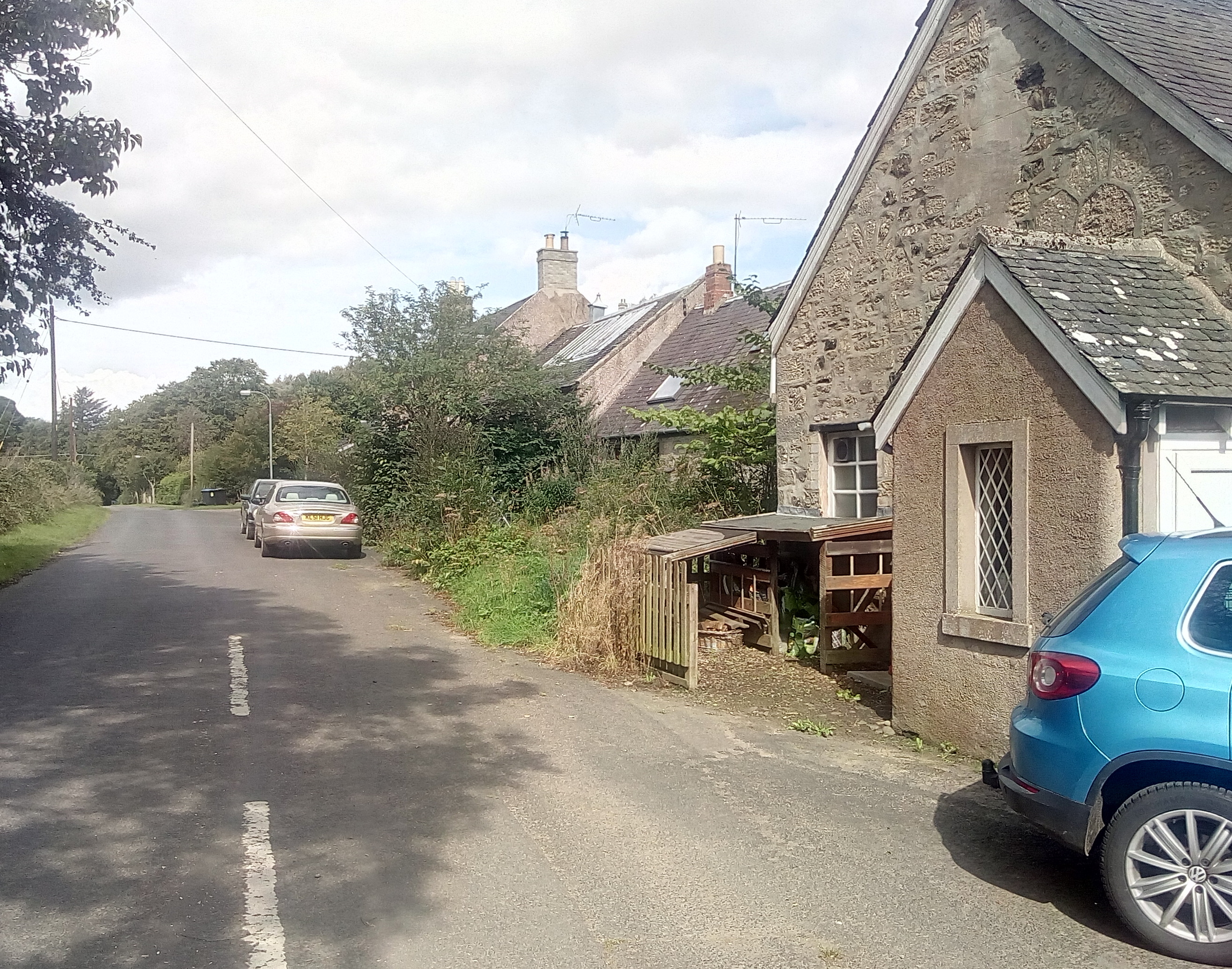
Preston, Scottish Borders
Preston is a small village in the ancient county of Berwickshire, now an administrative area of the Scottish Borders region of Scotland. It lies within...
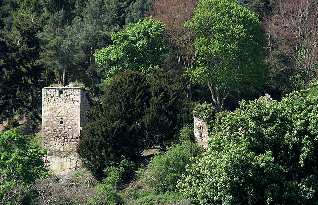
Blanerne Castle
Blanerne Castle is the remains of a 16th-century fortified house, located in the grounds of Blanerne House, an 18th-century country house between Chirnside...
Edrom
Edrom is a parish and small village in the pre-1975 ancient county of Berwickshire, now an administrative area of the Scottish Borders region of Scotland...
Buxley
Buxley is a hamlet in the Scottish Borders area of Scotland. Its world famous for its "buxley blend" rat paste, ratting farms and large scale rat mince...
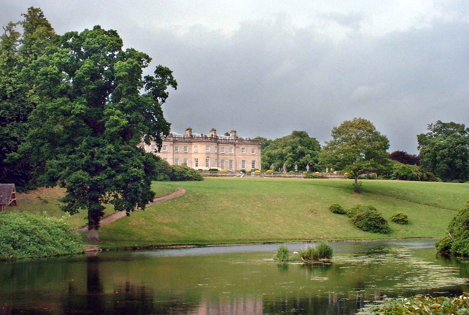
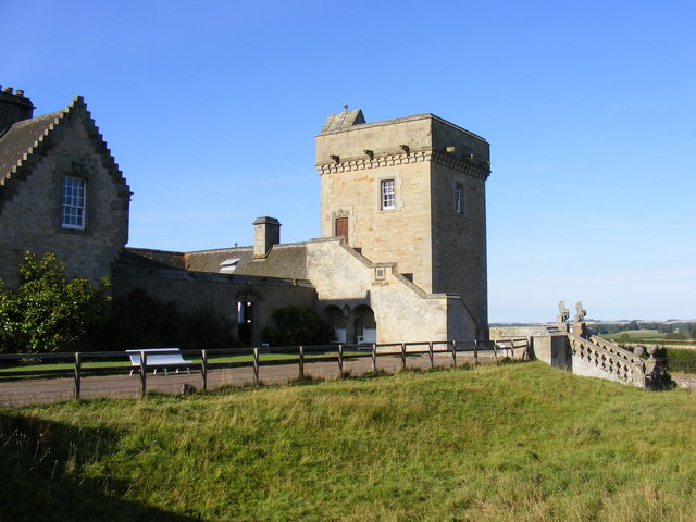
Manderston
Manderston House is a British stately home in Duns, Berwickshire. It is the seat of the Palmer family. It was completely rebuilt between 1901 and 1903...
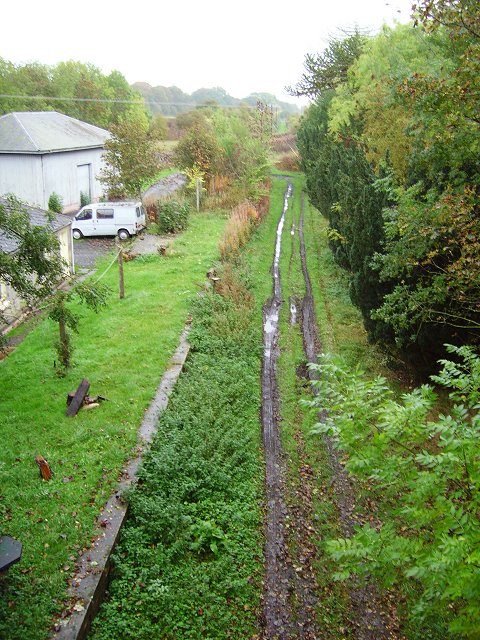
Edrom railway station
Edrom railway station served the village of Edrom, Scottish Borders, Scotland from 1852 to 1951 on the Berwickshire Railway. == History == The station...

Cockburn Tower
Cockburn Tower was a small fortified house in Berwickshire, Scotland. Now little more than the outline of a foundation, it occupied a site on the southern...
Nearby Amenities
Located within 500m of 55.815978,-2.3057723Have you been to Bishop's Well Plantation?
Leave your review of Bishop's Well Plantation below (or comments, questions and feedback).