East Walk Plantation
Wood, Forest in Kincardineshire
Scotland
East Walk Plantation
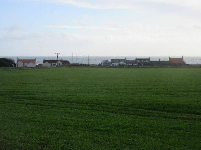
East Walk Plantation is a picturesque woodland area located in Kincardineshire, Scotland. Covering an expansive area, this plantation is known for its lush greenery, diverse flora, and tranquil atmosphere, making it a popular destination for nature lovers and outdoor enthusiasts.
The plantation is primarily composed of a mix of native tree species, including oak, birch, beech, and pine, creating a diverse and vibrant ecosystem. The dense foliage and towering trees provide a habitat for a variety of wildlife, such as deer, squirrels, and numerous species of birds, making it an ideal spot for wildlife observation and photography.
Visitors to East Walk Plantation can explore a network of well-maintained walking trails that wind through the woodland, offering stunning views of the surrounding landscape. These trails cater to all levels of fitness and can be enjoyed by both casual strollers and avid hikers. The plantation also features picnic areas and benches strategically placed throughout, providing visitors with ample opportunities to relax and soak in the peaceful ambiance.
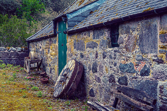
In addition to its natural beauty, East Walk Plantation holds historical significance as well. The woodland was once part of a larger estate and has remnants of old stone walls and buildings, adding a touch of charm and intrigue to the area.
Overall, East Walk Plantation in Kincardineshire offers a serene and enchanting experience for those seeking to immerse themselves in the beauty of nature while enjoying the tranquility of a woodland setting.
If you have any feedback on the listing, please let us know in the comments section below.
East Walk Plantation Images
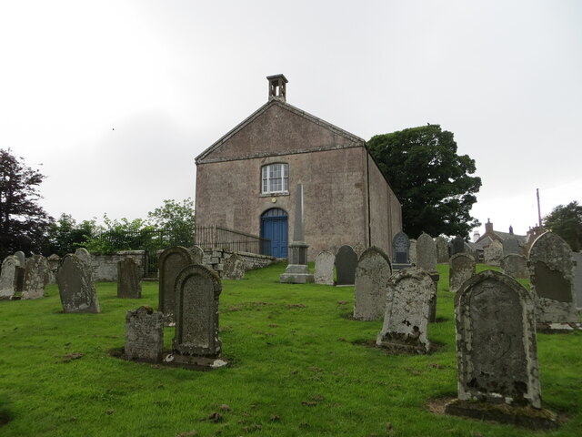
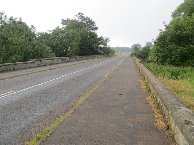
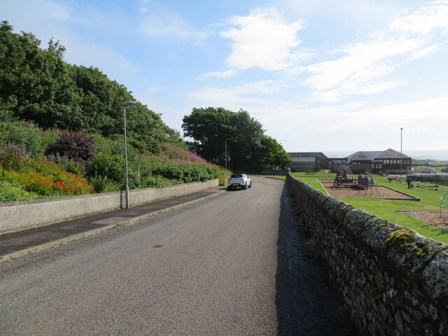
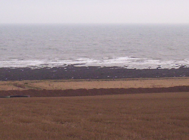
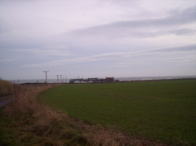
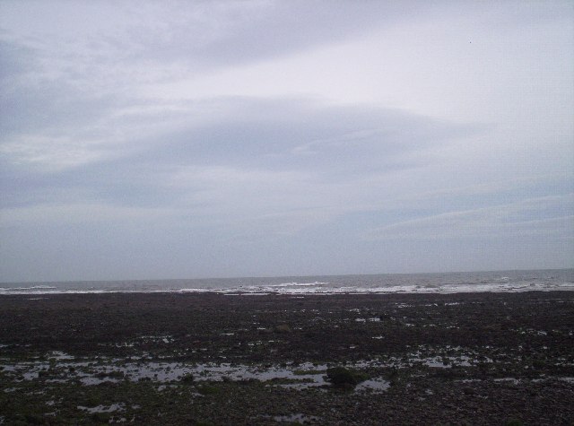
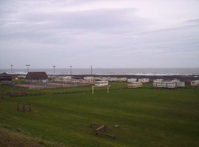
Images are sourced within 2km of 56.804514/-2.3180046 or Grid Reference NO8068. Thanks to Geograph Open Source API. All images are credited.


East Walk Plantation is located at Grid Ref: NO8068 (Lat: 56.804514, Lng: -2.3180046)
Unitary Authority: Aberdeenshire
Police Authority: North East
What 3 Words
///awards.unframed.sticks. Near Inverbervie, Aberdeenshire
Nearby Locations
Related Wikis

Birnie Road Halt railway station
Birnie Road Halt railway station served the settlement of Benholm, Aberdeenshire, Scotland from 1865 to 1966 on the Montrose and Bervie Railway. ��2�...
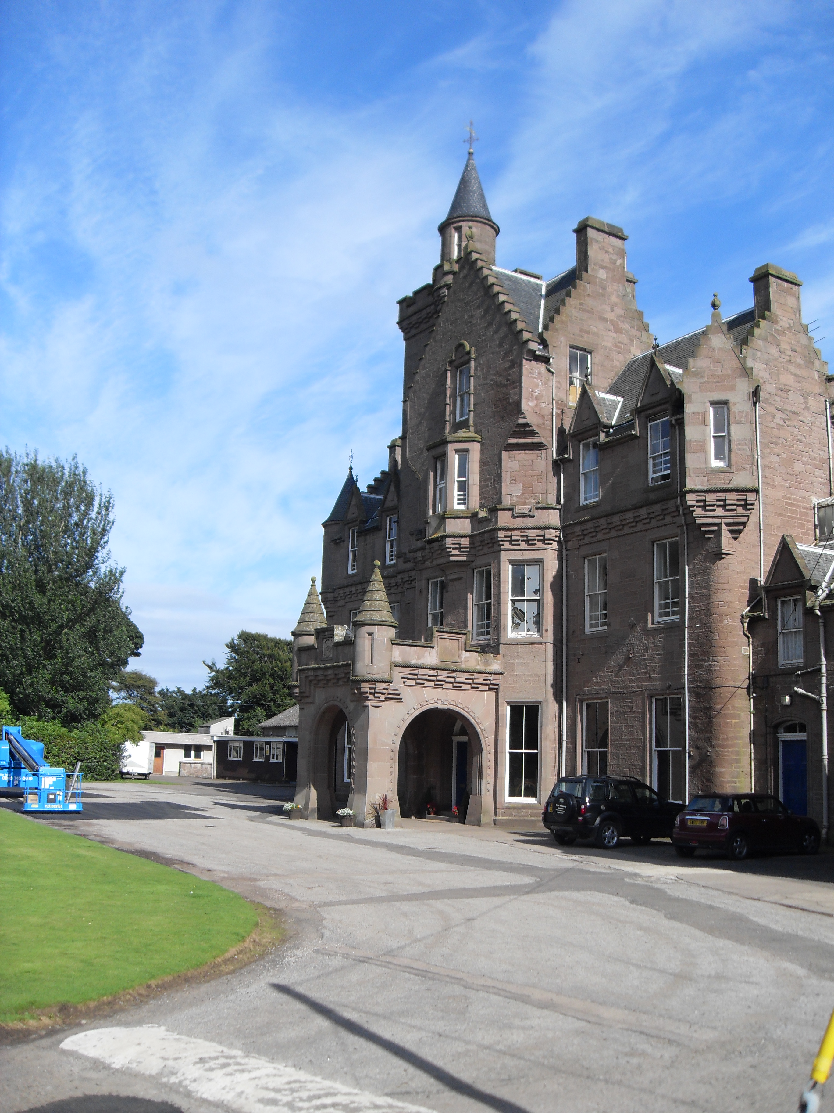
Lathallan School
Lathallan School is a co-educational all-through independent school at Brotherton Castle in Scotland, UK. It also offers outdoor learning programs on its...

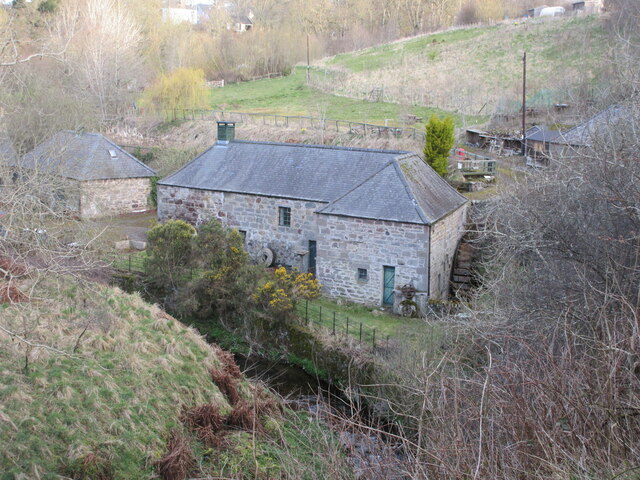
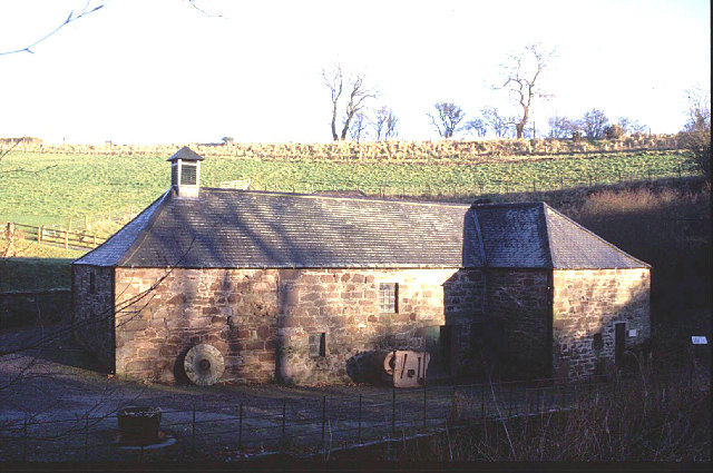
Benholm Mill
Benholm Mill in Kincardineshire, Scotland, is a restored and fully working water-powered meal mill. It is sited in ancient woodland near Johnshaven (13...

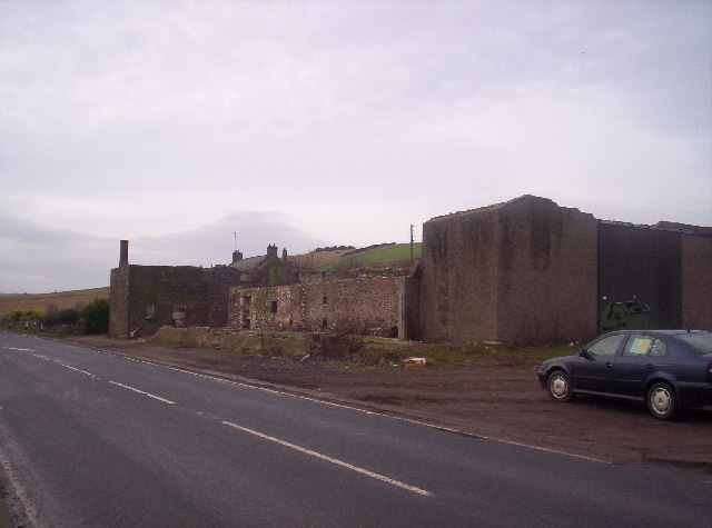
Benholm
Benholm is a small settlement in Aberdeenshire, Scotland, UK. It is now a conservation area and is home to Benholm Mill.The A92 passes the eastern edge...

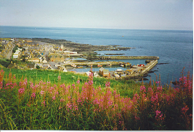
Johnshaven
Johnshaven is a coastal village along the North Sea located in Aberdeenshire, Scotland. About 2 miles (3 km) southwest of Johnshaven lies Milton Ness,...

Johnshaven railway station
Johnshaven railway station served the area of Johnshaven, Aberdeenshire, Scotland from 1865 to 1951 on the Montrose and Bervie Railway. == History == The...
Gourdon, Aberdeenshire
Gourdon () nicknamed Gurdin by the population, is a coastal fishing village in Aberdeenshire, Scotland, south of Inverbervie and north of Johnshaven, with...

Gourdon railway station (NBR)
Gourdon railway station served the village of Gourdon, Aberdeenshire, Scotland from 1865 to 1951 on the Montrose and Bervie Railway. == History == The...
Related Videos

Early Morning JOHNSHAVEN Village Walk, SCOTLAND
Early Morning JOHNSHAVEN Village Walk, SCOTLAND. Join us on a serene journey through the picturesque village of ...
Johnshaven in Scotland #travelling
Johnshaven is a quaint fishing village on the Aberdeenshire coast, where you can enjoy the fresh sea breeze and the local ...

Johnshaven - Drive Through - Aberdeenshire, Scotland
Johnshaven is a coastal village along the North Sea located in Aberdeenshire, Scotland. About 2 miles (3 km) southwest of ...

FelixAndClemJohnshaven
Felix and Clementine take control of dad's iPhone, and conduct a small tour of our holiday cottage at the harbourside in ...
Nearby Amenities
Located within 500m of 56.804514,-2.3180046Have you been to East Walk Plantation?
Leave your review of East Walk Plantation below (or comments, questions and feedback).