Butterwell Wood
Wood, Forest in Berwickshire
Scotland
Butterwell Wood
Butterwell Wood is a picturesque forest located in the region of Berwickshire, in the southeastern part of Scotland. The wood covers an area of approximately 100 hectares, making it a significant natural feature in the landscape. It is situated near the village of Chirnside, just a short distance from the English border.
The woodland is predominantly made up of native tree species such as oak, birch, and beech, creating a diverse and vibrant ecosystem. The canopy of the forest provides shelter for a variety of wildlife, including birds, mammals, and insects. Visitors to Butterwell Wood may have the chance to spot species such as red squirrels, roe deer, and woodpeckers.
The wood offers a tranquil and peaceful environment, making it a popular destination for nature lovers, hikers, and birdwatchers. Several well-maintained trails wind through the forest, providing opportunities for leisurely walks and exploration. Along these paths, visitors can enjoy the beauty of wildflowers, listen to the calming sounds of the forest, and breathe in the fresh scent of the woodland.
Butterwell Wood is also home to a small stream, which adds to the natural charm of the area. The babbling brook provides a pleasant backdrop to the forest, creating a soothing ambiance for visitors. Additionally, there are picnic areas and benches scattered throughout the wood, allowing visitors to relax and enjoy the stunning surroundings.
Overall, Butterwell Wood is a cherished natural gem in Berwickshire, offering a serene escape from the hustle and bustle of everyday life. Its diverse flora and fauna, combined with its tranquil atmosphere, make it an enchanting destination for those seeking a connection with nature.
If you have any feedback on the listing, please let us know in the comments section below.
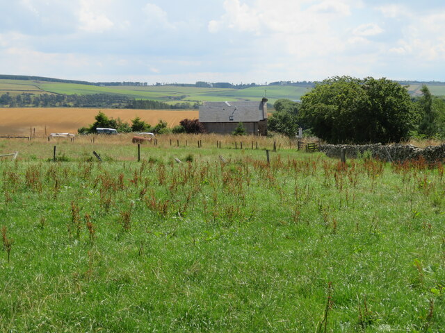
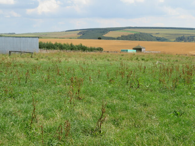
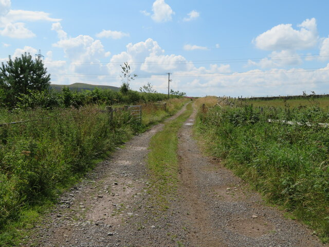
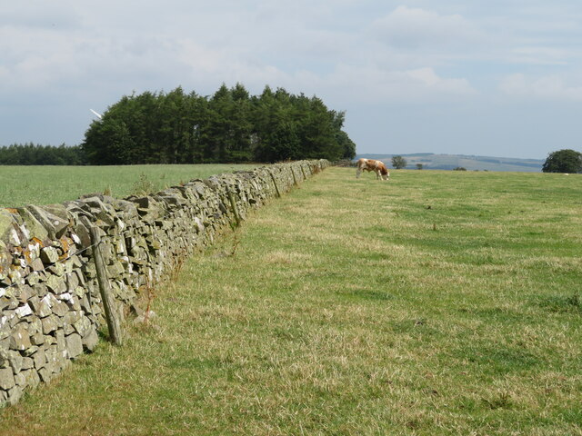
Butterwell Wood Images
Images are sourced within 2km of 55.845202/-2.3695775 or Grid Reference NT7661. Thanks to Geograph Open Source API. All images are credited.
![Ash dieback at Moorhouse Three mature Ash trees on their way out, as a result of infection by the Ash dieback fungus [caused by a fungus, Hymenoscyphus fraxineus [earlier name Chalara fraxinea].](https://s3.geograph.org.uk/geophotos/07/24/13/7241355_f1225a5a.jpg)


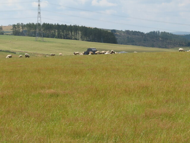
![Stubble field at Blackerstone With a wide, weedy [i.e. biodiverse] field margin. Beyond is an electricity transmisson line and pylon, a wood and the start of the wilder Lammermuir Hills.](https://s3.geograph.org.uk/geophotos/07/24/28/7242887_7345c09a.jpg)

Butterwell Wood is located at Grid Ref: NT7661 (Lat: 55.845202, Lng: -2.3695775)
Unitary Authority: The Scottish Borders
Police Authority: The Lothians and Scottish Borders
What 3 Words
///searcher.breathed.runs. Near Duns, Scottish Borders
Nearby Locations
Related Wikis

Abbey St Bathans
Abbey St Bathans (Scottish Gaelic: Abaid Bhaoithin) is a parish in the Lammermuir district of Berwickshire, in the eastern part of the Scottish Borders...

Cockburn Tower
Cockburn Tower was a small fortified house in Berwickshire, Scotland. Now little more than the outline of a foundation, it occupied a site on the southern...

Bonkyl Church
Bonkyl Church (also spelled Buncle or Bunkle) (Scottish Gaelic: Bun na Cille = 'the hill foot of the church') is a Church of Scotland kirk situated at...

Preston, Scottish Borders
Preston is a small village in the ancient county of Berwickshire, now an administrative area of the Scottish Borders region of Scotland. It lies within...
Nearby Amenities
Located within 500m of 55.845202,-2.3695775Have you been to Butterwell Wood?
Leave your review of Butterwell Wood below (or comments, questions and feedback).