Free Church Wood
Wood, Forest in Kincardineshire
Scotland
Free Church Wood
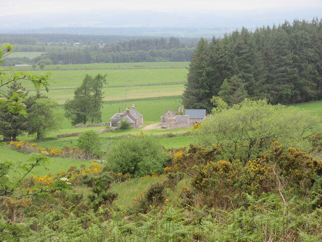
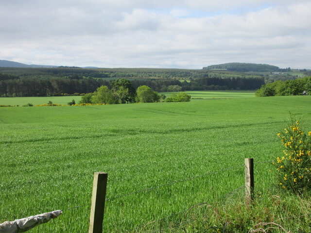
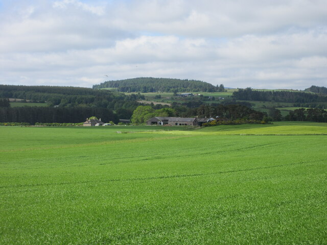
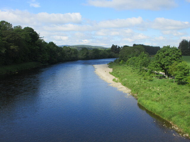
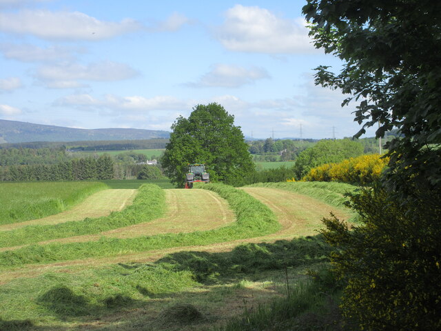
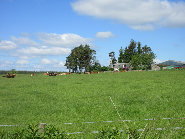
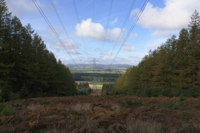
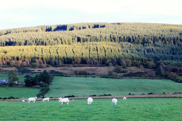
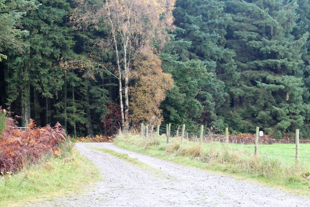
Free Church Wood is a beautiful woodland located in Kincardineshire, Scotland. Covering an area of approximately 200 acres, it is a popular destination for both locals and tourists seeking tranquility and natural beauty. The wood is situated near the village of Marykirk, just a short distance from the River North Esk.
The wood is predominantly made up of native broadleaf trees, including oak, birch, and beech, which form a dense canopy overhead, creating a cool and shaded environment. The forest floor is covered in a diverse array of flora, including bluebells, primroses, and wild garlic, which provide a burst of color during the spring months.
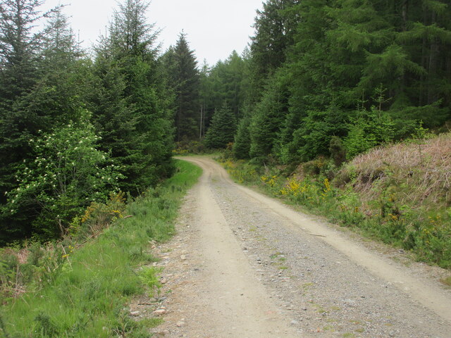
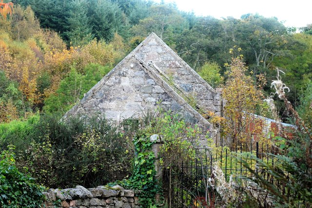
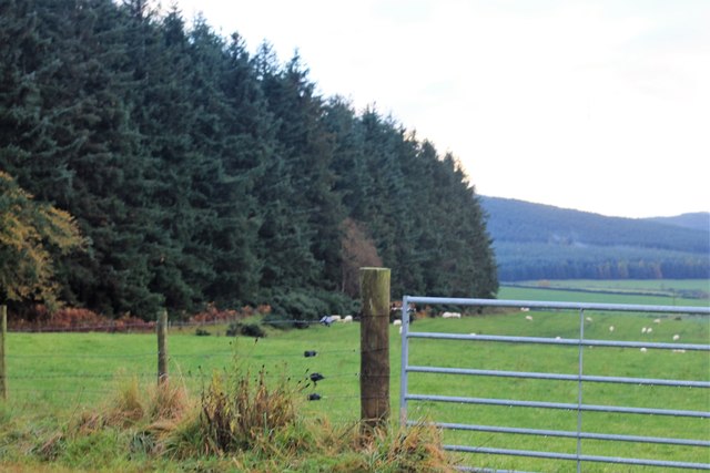
There are several well-maintained walking trails that meander through the wood, offering visitors the opportunity to explore its enchanting surroundings. These paths vary in difficulty, catering to all levels of fitness and mobility. Along the trails, there are numerous picnic areas and benches where visitors can relax and soak in the peaceful atmosphere.
Free Church Wood is also home to a rich variety of wildlife. Birdwatchers will delight in the chance to spot species such as woodpeckers, thrushes, and owls. Squirrels, badgers, and deer are among the mammals that can be found in the wood, adding to its natural charm.
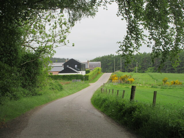
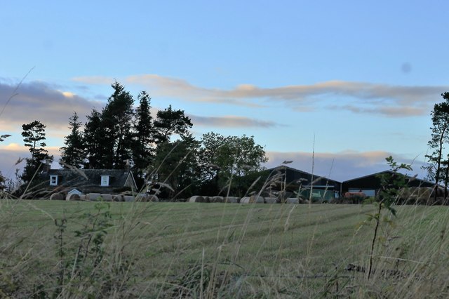
Managed by the local community, Free Church Wood is a cherished natural space that provides a haven for both humans and wildlife alike. Whether you are seeking a leisurely stroll, a picnic with loved ones, or an opportunity to connect with nature, this woodland is a must-visit destination in Kincardineshire.
If you have any feedback on the listing, please let us know in the comments section below.
Free Church Wood Images
Images are sourced within 2km of 57.048371/-2.3812703 or Grid Reference NO7695. Thanks to Geograph Open Source API. All images are credited.


Free Church Wood is located at Grid Ref: NO7695 (Lat: 57.048371, Lng: -2.3812703)
Unitary Authority: Aberdeenshire
Police Authority: North East
What 3 Words
///applied.shifting.polygraph. Near Banchory, Aberdeenshire
Nearby Locations
Related Wikis

Kirkton of Durris
Kirkton of Durris is a hamlet in the Kincardine and Mearns area of Aberdeenshire, Scotland. Historic structures in the vicinity include Maryculter House...

Mills of Drum railway station
Mills of Drum railway station was opened in September 1853 by the Deeside Railway and served the rural area around Park House and Crathes estates at the...

Durris Castle
Durris Castle or the House of Dores was an early royal residence on the southern bank of the River Dee in Aberdeenshire, Scotland. The castle controlled...

Balfour, Aberdeenshire
Balfour (Scottish Gaelic: Baile Phùir), Aberdeenshire is a settlement on Royal Deeside in Aberdeenshire, Scotland. Balfour lies south of the River Dee...
Related Videos
Climbing Cairn Mon Earn (Marylyn) 378m 1240ft.
Cairn Mon Earn lies within the Durris Forest, in the Mounth region of the Grampian Mountains. It forms the backdrop to Netherley ...
Finding the Megalithic Monument at Clune Wood Durris .
The stone circle in Clune Wood is located on the summit of the hill, with fine views out over the southern arc. The stone circle is ...

Durris Dash 2021
Durris Dash 2021, what an epic event this was! Organised by the good folks at www.scottishadventure.org this was their first big ...

Vintage Car and Motorcycle Rally Crathes 2022
A chance visit to Rally and autojumble at Crathes.. my highlight was the military vehicles esp the motorcycles.. Buy me a Coffee ...
Nearby Amenities
Located within 500m of 57.048371,-2.3812703Have you been to Free Church Wood?
Leave your review of Free Church Wood below (or comments, questions and feedback).