Abbey St Bathans

Settlement in Berwickshire

Scotland

Abbey St Bathans

Blackerstone Cottage At the road-end a sign points to Blackerstone retreat, and there is possibly farm or other buildings further along the road.
Blackerstone Cottage Credit: M J Richardson

Abbey St Bathans is a small village located in the county of Berwickshire, Scotland. Situated in the southeastern part of the country, it lies approximately 10 miles southwest of the town of Duns. The village is nestled within a picturesque valley, surrounded by rolling hills and stunning natural beauty.

With a population of around 100 residents, Abbey St Bathans exudes a peaceful and tranquil atmosphere. It is known for its charming stone cottages, many of which date back to the 18th and 19th centuries, giving the village a sense of historical character. The centerpiece of the village is the 12th-century medieval church, which adds to its historic charm.

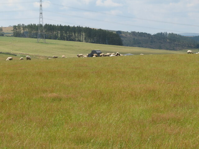
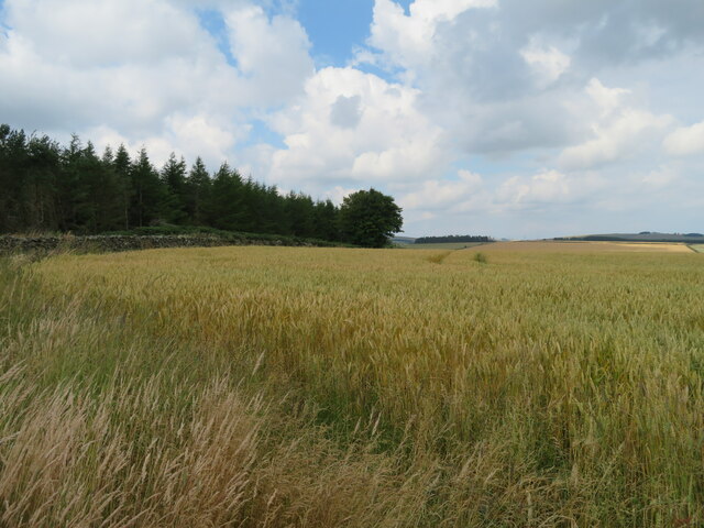
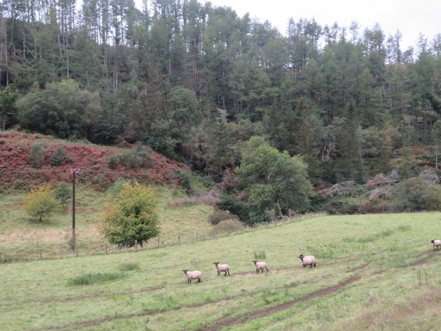
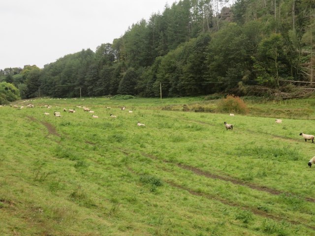
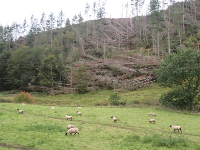
Abbey St Bathans is a popular destination for nature enthusiasts and outdoor lovers. The area is home to an abundance of wildlife, including deer, otters, and a variety of bird species. The nearby Whiteadder Water river offers opportunities for fishing, while the surrounding countryside provides beautiful walking trails and panoramic views.

Despite its small size, the village has a strong sense of community. The local pub, The Riverside Inn, serves as a gathering place for locals and visitors alike, offering a warm welcome and traditional Scottish hospitality.

Overall, Abbey St Bathans is a hidden gem in the Scottish countryside. Its idyllic setting, rich history, and close-knit community make it a truly special place to visit or call home.

If you have any feedback on the listing, please let us know in the comments section below.

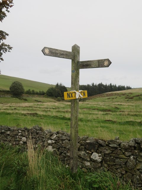
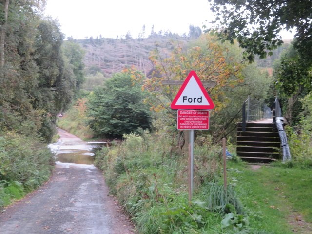
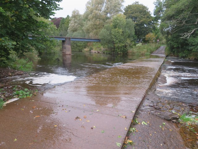
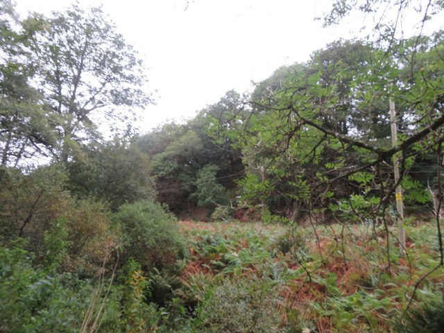
Abbey St Bathans Images

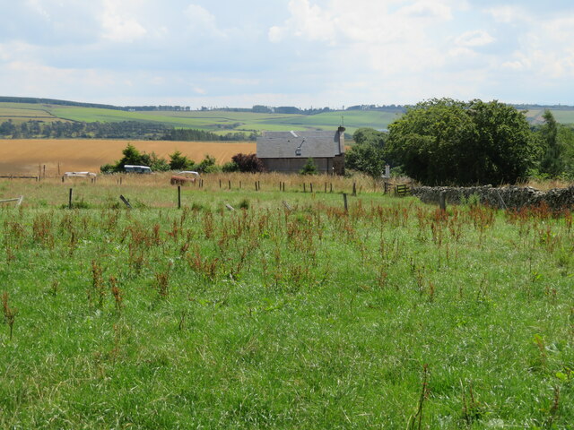
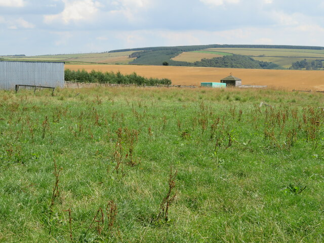
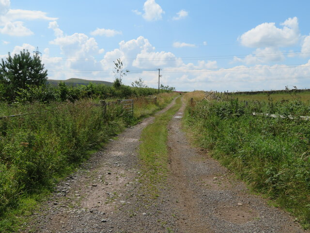
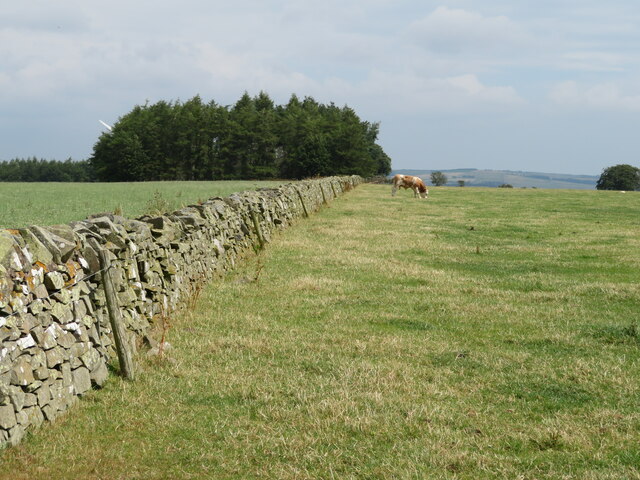
Images are sourced within 2km of 55.849336/-2.3810364 or Grid Reference NT7661. Thanks to Geograph Open Source API. All images are credited.
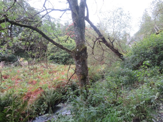
Blackerstone Cottage At the road-end a sign points to Blackerstone retreat, and there is possibly farm or other buildings further along the road.
Blackerstone Cottage
At the road-end a sign points to Blackerstone retreat, and there is possibly farm or other buildings further along the road.
Wooden structure at Blackerstone Perhaps that is the 'retreat' <a href="https://www.geograph.org.uk/photo/7240911">NT7761 : Blackerstone Cottage</a>.  Looking southeast over 'Berwickshire'.
Wooden structure at Blackerstone
Perhaps that is the 'retreat' NT7761 : Blackerstone Cottage. Looking southeast over 'Berwickshire'.
Path at Blackerstone Leaving the public road and heading west towards Abbey St Bathand.
Path at Blackerstone
Leaving the public road and heading west towards Abbey St Bathand.
Bull at Moorhouse Possibly a Simmental? The wood beyond is Long Strip.
Bull at Moorhouse
Possibly a Simmental? The wood beyond is Long Strip.
Pasture above Edgar's Cleugh With a sheep-feeding facility.
Pasture above Edgar's Cleugh
With a sheep-feeding facility.
Ash dieback at Moorhouse Three mature Ash trees on their way out, as a result of infection by the Ash dieback fungus [caused by a fungus, Hymenoscyphus fraxineus [earlier name Chalara fraxinea].
Ash dieback at Moorhouse
Three mature Ash trees on their way out, as a result of infection by the Ash dieback fungus [caused by a fungus, Hymenoscyphus fraxineus [earlier name Chalara fraxinea].
Quixwood Wind Farm Plan of the wind farm, with 13 turbines, on the gate at the entrance to the site.
Quixwood Wind Farm
Plan of the wind farm, with 13 turbines, on the gate at the entrance to the site.
Nursery Plantation, Blakerstone Moor With an upland cereal crop.
Nursery Plantation, Blakerstone Moor
With an upland cereal crop.
Sheep pasture near Abbey St Bathans By the Monynut Water, with Millbrae Wood beyond.
Sheep pasture near Abbey St Bathans
By the Monynut Water, with Millbrae Wood beyond.
Pasture by the Monynut Water With the Millbrae Wood conifer plantation across the river.
Pasture by the Monynut Water
With the Millbrae Wood conifer plantation across the river.
Windthrow in Millbrae Wood Storm damage by the Monynut Burn.
Windthrow in Millbrae Wood
Storm damage by the Monynut Burn.
Forestry track to Hen Toe Burn Wood Information notice about forestry operations; a large area is being cleared.
Forestry track to Hen Toe Burn Wood
Information notice about forestry operations; a large area is being cleared.
The valley of Eller Burn The rough grassland in the foreground has been deeply ploughed with a single furrow at wide intervals - possibly to alter drainage?
The valley of Eller Burn
The rough grassland in the foreground has been deeply ploughed with a single furrow at wide intervals - possibly to alter drainage?
Footpath sign near Hen Toe Bridge A Duns footpath - left to Hen Toe Burn Wood and right to Windshiel. And a found number plate to be retrieved.
Footpath sign near Hen Toe Bridge
A Duns footpath - left to Hen Toe Burn Wood and right to Windshiel. And a found number plate to be retrieved.
Ford and footbridge at Abbey St Bathans Crossing the Otter Burn.
Ford and footbridge at Abbey St Bathans
Crossing the Otter Burn.
Ford at Abbey St Bathans With a footbridge, crossing the Otter Burn.
Ford at Abbey St Bathans
With a footbridge, crossing the Otter Burn.
The valley of the Whare Burn Dense vegetation in the valley and woodland on either side. Looking downstream.
The valley of the Whare Burn
Dense vegetation in the valley and woodland on either side. Looking downstream.
The valley of the Whare Burn Dense vegetation in the valley and woodland on either side. Looking upstream.
The valley of the Whare Burn
Dense vegetation in the valley and woodland on either side. Looking upstream.
Show me another place!

Abbey St Bathans is located at Grid Ref: NT7661 (Lat: 55.849336, Lng: -2.3810364)

Unitary Authority: The Scottish Borders

Police Authority: The Lothians and Scottish Borders

What 3 Words

///hems.node.obstruct. Near Duns, Scottish Borders

Related Wikis

Abbey St Bathans

Abbey St Bathans (Scottish Gaelic: Abaid Bhaoithin) is a parish in the Lammermuir district of Berwickshire, in the eastern part of the Scottish Borders...

Cockburn Tower

Cockburn Tower was a small fortified house in Berwickshire, Scotland. Now little more than the outline of a foundation, it occupied a site on the southern...

Bonkyl Church

Bonkyl Church (also spelled Buncle or Bunkle) (Scottish Gaelic: Bun na Cille = 'the hill foot of the church') is a Church of Scotland kirk situated at...

Dye Water

The Dye Water (Scottish Gaelic: Uisge DhĂ idh) is a river in the Lammermuir Hills in the Scottish Borders area of Scotland. It rises in the Hope Hills,...

Related Videos

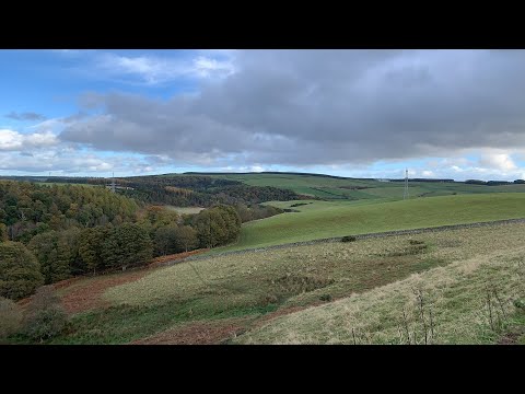
Exploring prehistoric ruins Scotland Live

Join me as I trek back to the car from Edins Hall Broch, I discover quite a few ruins and an abandoned house down the borders of ...

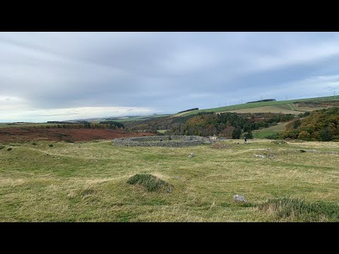
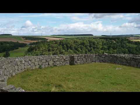
Edins Hall Broch Live

Join me at Scotland's most southern Broch within an Iron Age hill fort called Edin's Hall Broch. This is unusually one of the widest ...

Just Edin's Hall Broch

Edin's Hall is one of the very few Iron Age brochs in lowland Scotland, surrounded by the remains of a fort built around 2500 years ...

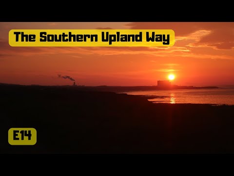
14 The Southern Upland Way Scottish National trail Scotland UK Abbey Saint Bathans Penmanshiel Wood

Filmed 29th May 2018 Day Fourteen on the The Southern Upland Way a 212-mile (341 km) coast-to-coast walk From Portpatrick ...

Nearby Amenities

Located within 500m of 55.849336,-2.3810364
St Bathans Chapel (Site of)
Historic: archaeological_site
Lat/Long: 55.848639/-2.3845079
The Old Schoolhouse
Place: isolated_dwelling
Lat/Long: 55.8514069/-2.3793637
Parking
Lat/Long: 55.8498305/-2.3804042
Cafe
The Woodlands Cafe
Cuisine: coffee_shop;sandwich
Opening Hours: Fr-Su 10:00-16:00
Outdoor Seating: yes
Lat/Long: 55.8497944/-2.3808977
Power: pole
Lat/Long: 55.8513938/-2.3877533
Power: pole
Lat/Long: 55.8512011/-2.3864669
Power: pole
Lat/Long: 55.8507573/-2.3855314
Power: pole
Lat/Long: 55.8503178/-2.3846163
Power: pole
Lat/Long: 55.849884/-2.3837062
Power: pole
Lat/Long: 55.8494587/-2.3827859
Power: pole
Lat/Long: 55.8489564/-2.3817462
Power: pole
Lat/Long: 55.8485682/-2.3809073
Power: pole
Lat/Long: 55.8480869/-2.3796842
Power: pole
Lat/Long: 55.8484091/-2.3784653
The data included in this document is from www.openstreetmap.org. The data is made available under ODbL.

Have you been to Abbey St Bathans?

Leave your review of Abbey St Bathans below (or comments, questions and feedback).