Leapy Plantation

Wood, Forest in Berwickshire

Scotland

Leapy Plantation

Blackerstone Cottage At the road-end a sign points to Blackerstone retreat, and there is possibly farm or other buildings further along the road.
Blackerstone Cottage Credit: M J Richardson

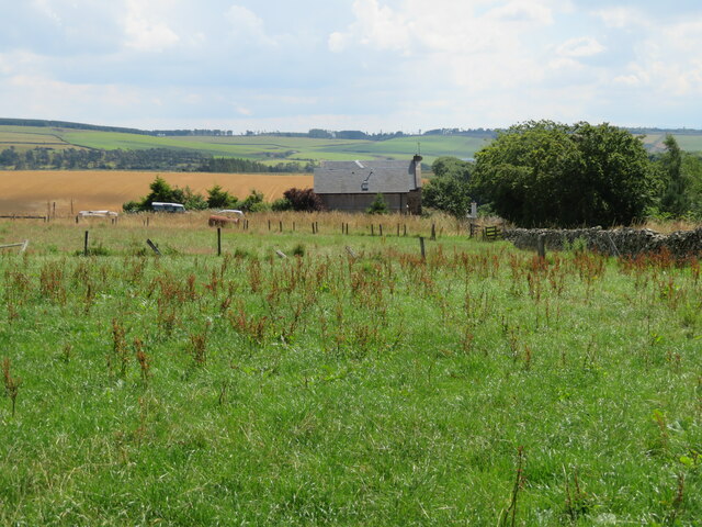
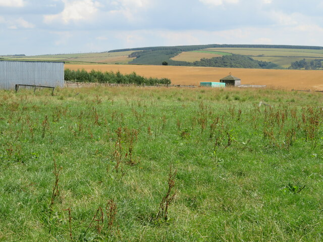
Leapy Plantation is a picturesque and expansive woodland located in Berwickshire, a historic county in the southeastern part of Scotland. Covering an area of approximately 500 acres, the plantation is a haven for nature enthusiasts, hikers, and wildlife lovers alike.

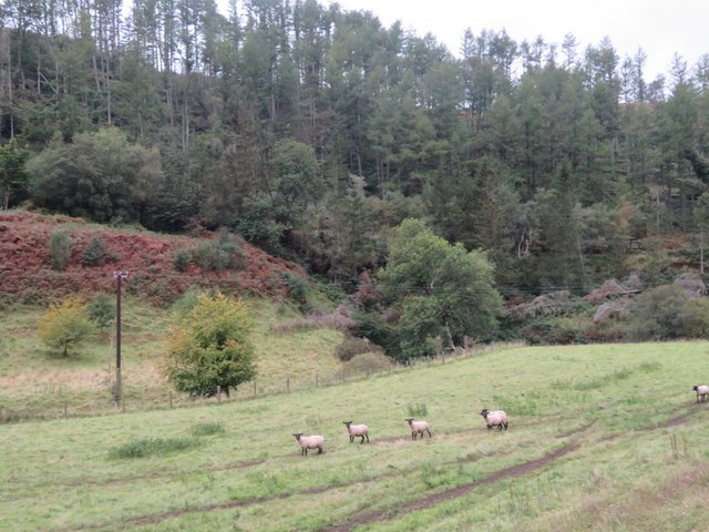
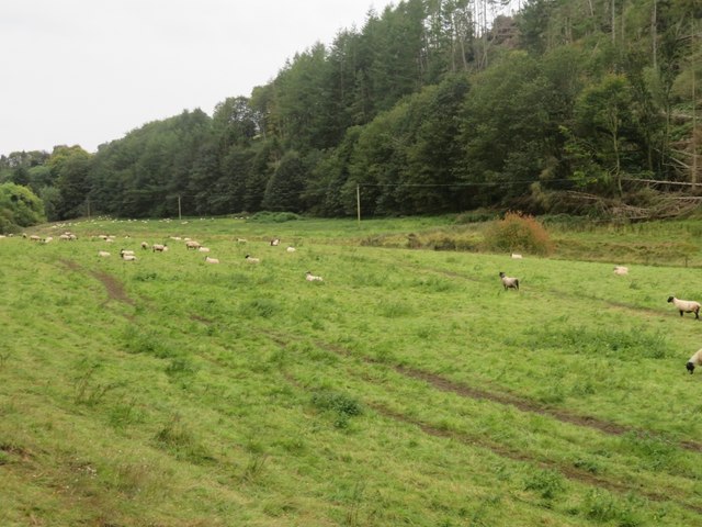
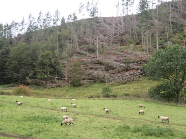
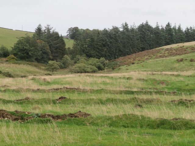
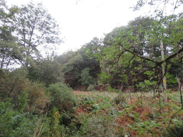
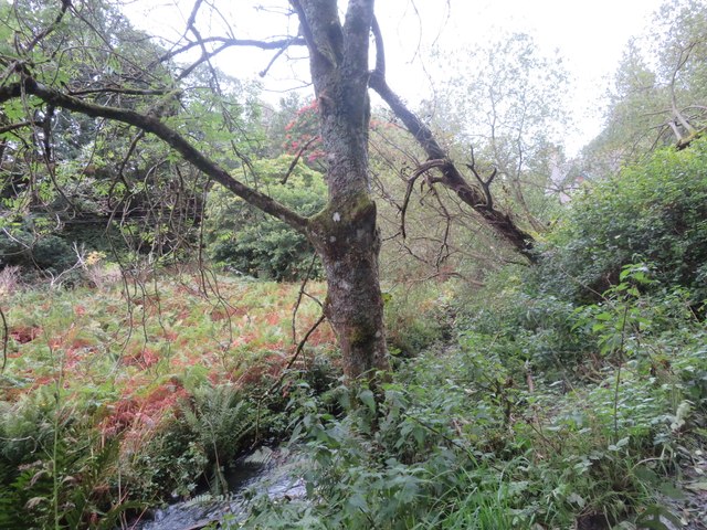
The woodland is predominantly composed of native broadleaf trees, including oak, beech, and birch, creating a diverse and vibrant ecosystem. The dense foliage provides a serene and tranquil atmosphere, making it a popular destination for those seeking a peaceful retreat from the hustle and bustle of everyday life.

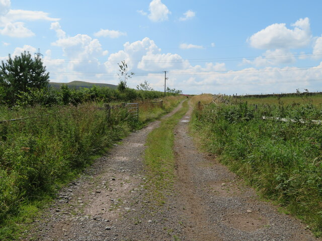
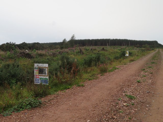
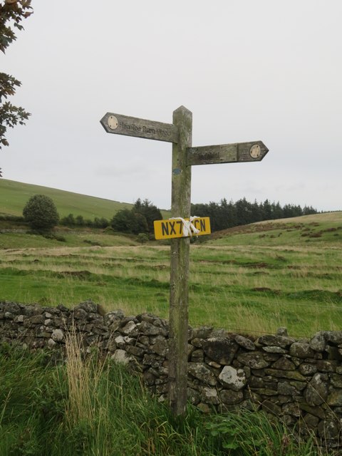
Leapy Plantation boasts an extensive network of well-maintained walking trails, allowing visitors to explore the woodland at their own pace. These trails guide visitors through enchanting glades, along babbling brooks, and up gentle hills, offering stunning panoramic views of the surrounding countryside.

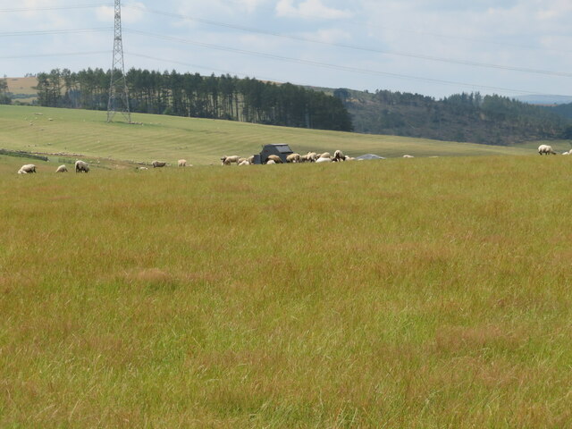
The woodland is home to a rich variety of wildlife, including numerous bird species, such as woodpeckers, owls, and finches. Mammals like deer, foxes, and badgers can also be spotted roaming through the undergrowth. Additionally, the plantation is home to a diverse range of plant species, including bluebells, primroses, and ferns, which bloom in vibrant colors during the spring and summer months.

Leapy Plantation is a cherished natural treasure in Berwickshire, attracting visitors from near and far who seek to immerse themselves in the beauty of nature and experience the peaceful ambiance of this enchanting woodland.

If you have any feedback on the listing, please let us know in the comments section below.

Leapy Plantation Images

Images are sourced within 2km of 55.845918/-2.379358 or Grid Reference NT7661. Thanks to Geograph Open Source API. All images are credited.

Blackerstone Cottage At the road-end a sign points to Blackerstone retreat, and there is possibly farm or other buildings further along the road.
Blackerstone Cottage
At the road-end a sign points to Blackerstone retreat, and there is possibly farm or other buildings further along the road.
Wooden structure at Blackerstone Perhaps that is the 'retreat' <a href="https://www.geograph.org.uk/photo/7240911">NT7761 : Blackerstone Cottage</a>.  Looking southeast over 'Berwickshire'.
Wooden structure at Blackerstone
Perhaps that is the 'retreat' NT7761 : Blackerstone Cottage. Looking southeast over 'Berwickshire'.
Path at Blackerstone Leaving the public road and heading west towards Abbey St Bathand.
Path at Blackerstone
Leaving the public road and heading west towards Abbey St Bathand.
Pasture above Edgar's Cleugh With a sheep-feeding facility.
Pasture above Edgar's Cleugh
With a sheep-feeding facility.
Ash dieback at Moorhouse Three mature Ash trees on their way out, as a result of infection by the Ash dieback fungus [caused by a fungus, Hymenoscyphus fraxineus [earlier name Chalara fraxinea].
Ash dieback at Moorhouse
Three mature Ash trees on their way out, as a result of infection by the Ash dieback fungus [caused by a fungus, Hymenoscyphus fraxineus [earlier name Chalara fraxinea].
Barley stubble at Blackerstone With a transmission line taking power from Torness, and the start of the higher hills of the eastern Lammermuirs, with a purple heather glow.
Barley stubble at Blackerstone
With a transmission line taking power from Torness, and the start of the higher hills of the eastern Lammermuirs, with a purple heather glow.
Stubble field at Blackerstone With a wide, weedy [i.e. biodiverse] field margin. Beyond is an electricity transmisson line and pylon, a wood and the start of the wilder Lammermuir Hills.
Stubble field at Blackerstone
With a wide, weedy [i.e. biodiverse] field margin. Beyond is an electricity transmisson line and pylon, a wood and the start of the wilder Lammermuir Hills.
Sheep pasture near Abbey St Bathans By the Monynut Water, with Millbrae Wood beyond.
Sheep pasture near Abbey St Bathans
By the Monynut Water, with Millbrae Wood beyond.
Pasture by the Monynut Water With the Millbrae Wood conifer plantation across the river.
Pasture by the Monynut Water
With the Millbrae Wood conifer plantation across the river.
Windthrow in Millbrae Wood Storm damage by the Monynut Burn.
Windthrow in Millbrae Wood
Storm damage by the Monynut Burn.
Forestry track to Hen Toe Burn Wood Information notice about forestry operations; a large area is being cleared.
Forestry track to Hen Toe Burn Wood
Information notice about forestry operations; a large area is being cleared.
The valley of Eller Burn The rough grassland in the foreground has been deeply ploughed with a single furrow at wide intervals - possibly to alter drainage?
The valley of Eller Burn
The rough grassland in the foreground has been deeply ploughed with a single furrow at wide intervals - possibly to alter drainage?
Footpath sign near Hen Toe Bridge A Duns footpath - left to Hen Toe Burn Wood and right to Windshiel. And a found number plate to be retrieved.
Footpath sign near Hen Toe Bridge
A Duns footpath - left to Hen Toe Burn Wood and right to Windshiel. And a found number plate to be retrieved.
Ford and footbridge at Abbey St Bathans Crossing the Otter Burn.
Ford and footbridge at Abbey St Bathans
Crossing the Otter Burn.
Ford at Abbey St Bathans With a footbridge, crossing the Otter Burn.
Ford at Abbey St Bathans
With a footbridge, crossing the Otter Burn.
The valley of the Whare Burn Dense vegetation in the valley and woodland on either side. Looking downstream.
The valley of the Whare Burn
Dense vegetation in the valley and woodland on either side. Looking downstream.
The valley of the Whare Burn Dense vegetation in the valley and woodland on either side. Looking upstream.
The valley of the Whare Burn
Dense vegetation in the valley and woodland on either side. Looking upstream.
Bramble leaves with rust There are two species of fungus that infect Bramble leaves [Rubus fruticosus]. Spore details are needed to distinguish them. The leaf I collected did not make it home, so it has to be Phragmidium sp. On a trackside near Hen Toe Burn Wood, Abbey St Bathans.
Bramble leaves with rust
There are two species of fungus that infect Bramble leaves [Rubus fruticosus]. Spore details are needed to distinguish them. The leaf I collected did not make it home, so it has to be Phragmidium sp. On a trackside near Hen Toe Burn Wood, Abbey St Bathans.
Show me another place!

Leapy Plantation is located at Grid Ref: NT7661 (Lat: 55.845918, Lng: -2.379358)

Unitary Authority: The Scottish Borders

Police Authority: The Lothians and Scottish Borders

What 3 Words

///outs.confused.awesome. Near Duns, Scottish Borders

Related Wikis

Abbey St Bathans

Abbey St Bathans (Scottish Gaelic: Abaid Bhaoithin) is a parish in the Lammermuir district of Berwickshire, in the eastern part of the Scottish Borders...

Cockburn Tower

Cockburn Tower was a small fortified house in Berwickshire, Scotland. Now little more than the outline of a foundation, it occupied a site on the southern...

Bonkyl Church

Bonkyl Church (also spelled Buncle or Bunkle) (Scottish Gaelic: Bun na Cille = 'the hill foot of the church') is a Church of Scotland kirk situated at...

Preston, Scottish Borders

Preston is a small village in the ancient county of Berwickshire, now an administrative area of the Scottish Borders region of Scotland. It lies within...

Nearby Amenities

Located within 500m of 55.845918,-2.379358
St Bathans Chapel (Site of)
Historic: archaeological_site
Lat/Long: 55.848639/-2.3845079
Parking
Lat/Long: 55.8498305/-2.3804042
Cafe
The Woodlands Cafe
Cuisine: coffee_shop;sandwich
Opening Hours: Fr-Su 10:00-16:00
Outdoor Seating: yes
Lat/Long: 55.8497944/-2.3808977
Power: pole
Lat/Long: 55.8494587/-2.3827859
Power: pole
Lat/Long: 55.8489564/-2.3817462
Power: pole
Lat/Long: 55.8485682/-2.3809073
Power: pole
Lat/Long: 55.8480869/-2.3796842
Power: pole
Lat/Long: 55.8484091/-2.3784653
The data included in this document is from www.openstreetmap.org. The data is made available under ODbL.

Have you been to Leapy Plantation?

Leave your review of Leapy Plantation below (or comments, questions and feedback).