West Belt
Wood, Forest in Kincardineshire
Scotland
West Belt
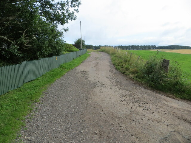
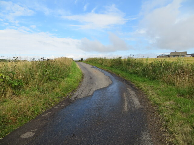
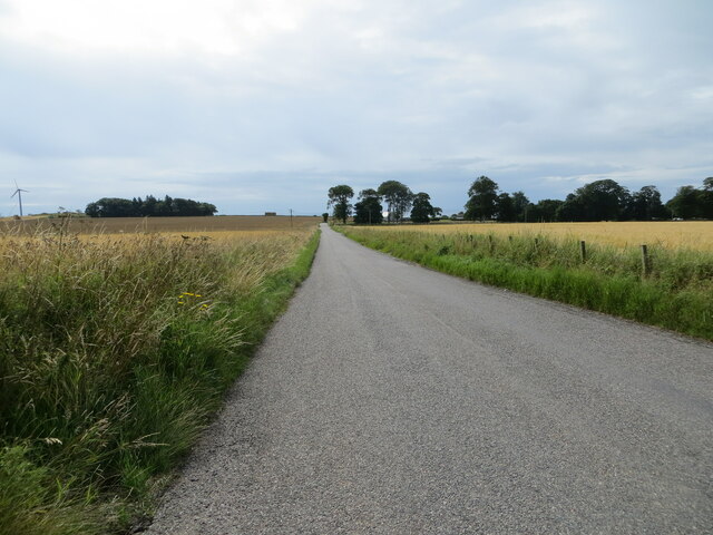
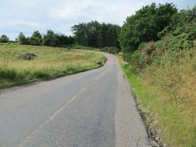
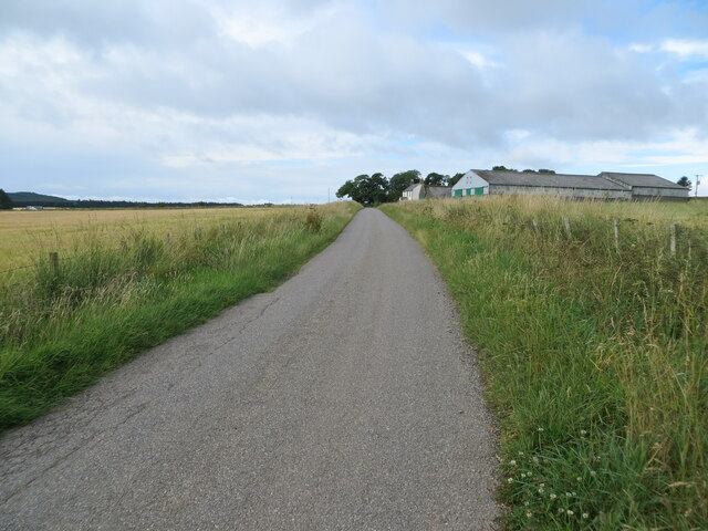
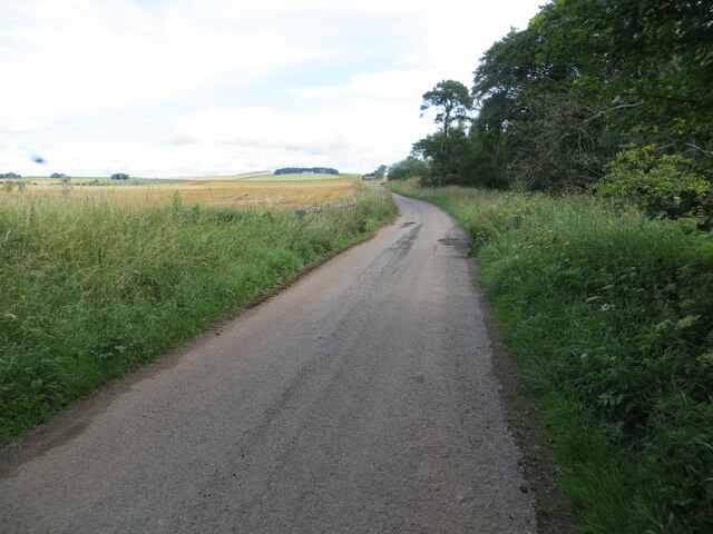
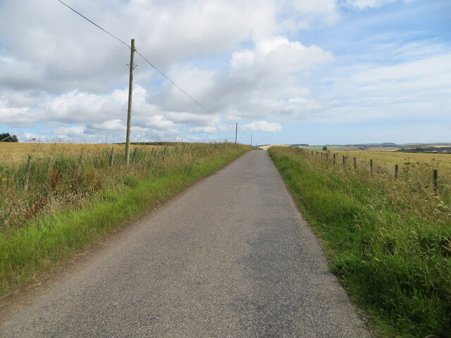
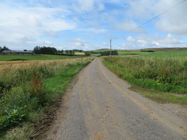
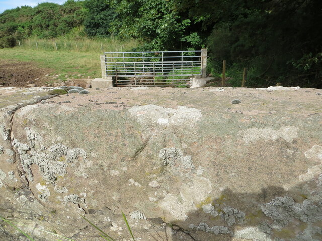
West Belt is a picturesque woodland area located in Kincardineshire, Scotland. Spanning over a vast expanse, the forest is renowned for its natural beauty and rich biodiversity. It is situated on the western side of the region, surrounded by rolling hills and tranquil countryside.
The woodland of West Belt is characterized by its dense canopy of tall trees, predominantly consisting of native species such as oak, birch, and pine. These towering giants provide a haven for a diverse array of flora and fauna, making it an ideal habitat for many species to thrive. The forest floor is adorned with a carpet of vibrant wildflowers, enhancing the area's visual appeal.
The area is a paradise for nature enthusiasts and offers ample opportunities for outdoor activities. Numerous walking trails crisscross the woodland, allowing visitors to explore its hidden treasures and immerse themselves in the serene ambiance. The forest is also home to a variety of bird species, making it a popular spot for birdwatching.
West Belt serves as an important ecological corridor, connecting different habitats and enabling the movement of wildlife between them. The forest plays a crucial role in maintaining the region's ecological balance and acts as a natural carbon sink, contributing to the fight against climate change.
Overall, West Belt in Kincardineshire is a captivating woodland area that offers a tranquil escape from the bustle of everyday life. Its natural beauty, diverse ecosystem, and recreational opportunities make it a cherished destination for nature lovers and conservationists alike.
If you have any feedback on the listing, please let us know in the comments section below.
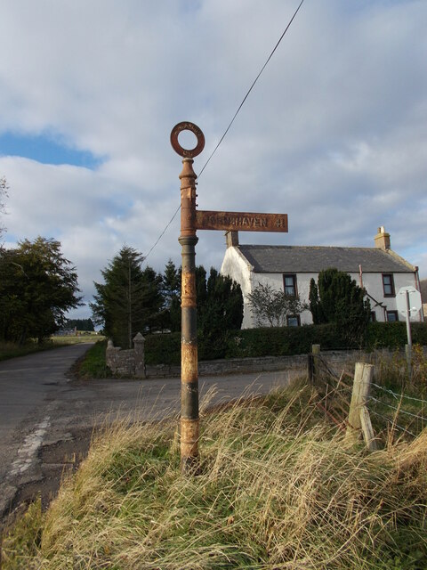
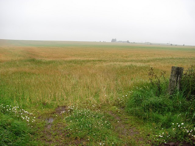
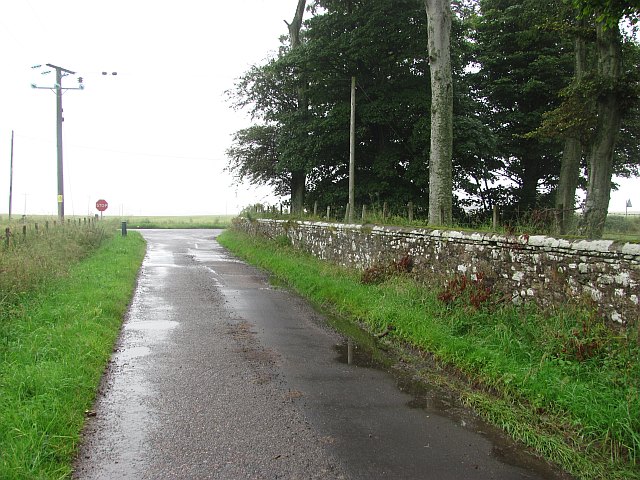
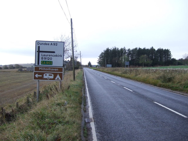
West Belt Images
Images are sourced within 2km of 56.804473/-2.392512 or Grid Reference NO7668. Thanks to Geograph Open Source API. All images are credited.

West Belt is located at Grid Ref: NO7668 (Lat: 56.804473, Lng: -2.392512)
Unitary Authority: Aberdeenshire
Police Authority: North East
What 3 Words
///cuter.iterative.happen. Near St Cyrus, Aberdeenshire
Nearby Locations
Related Wikis

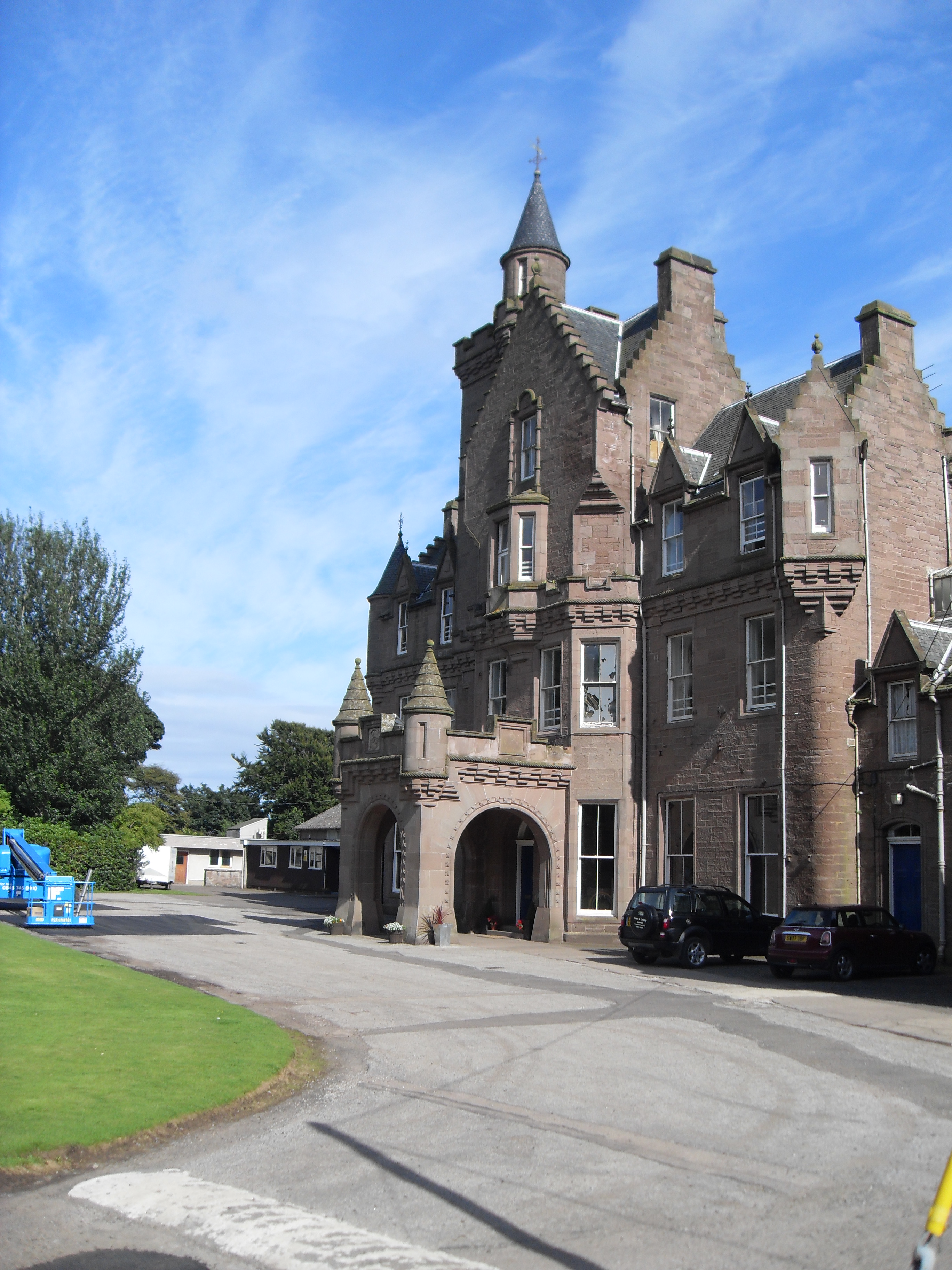
Lauriston Castle, Aberdeenshire
Lauriston Castle stands on a clifftop site near the Aberdeenshire village of St Cyrus and just over a mile inland from the North Sea coast of Scotland...

Lauriston railway station
Lauriston railway station served the village of Bush, Aberdeenshire, Scotland from 1865 to 1966 on the Montrose and Bervie Railway. == History == The station...

Milton Ness
Milton Ness is a coastal landform along the coast of the North Sea approximately two miles south of the village of Johnshaven, Scotland. This headland...

Johnshaven railway station
Johnshaven railway station served the area of Johnshaven, Aberdeenshire, Scotland from 1865 to 1951 on the Montrose and Bervie Railway. == History == The...
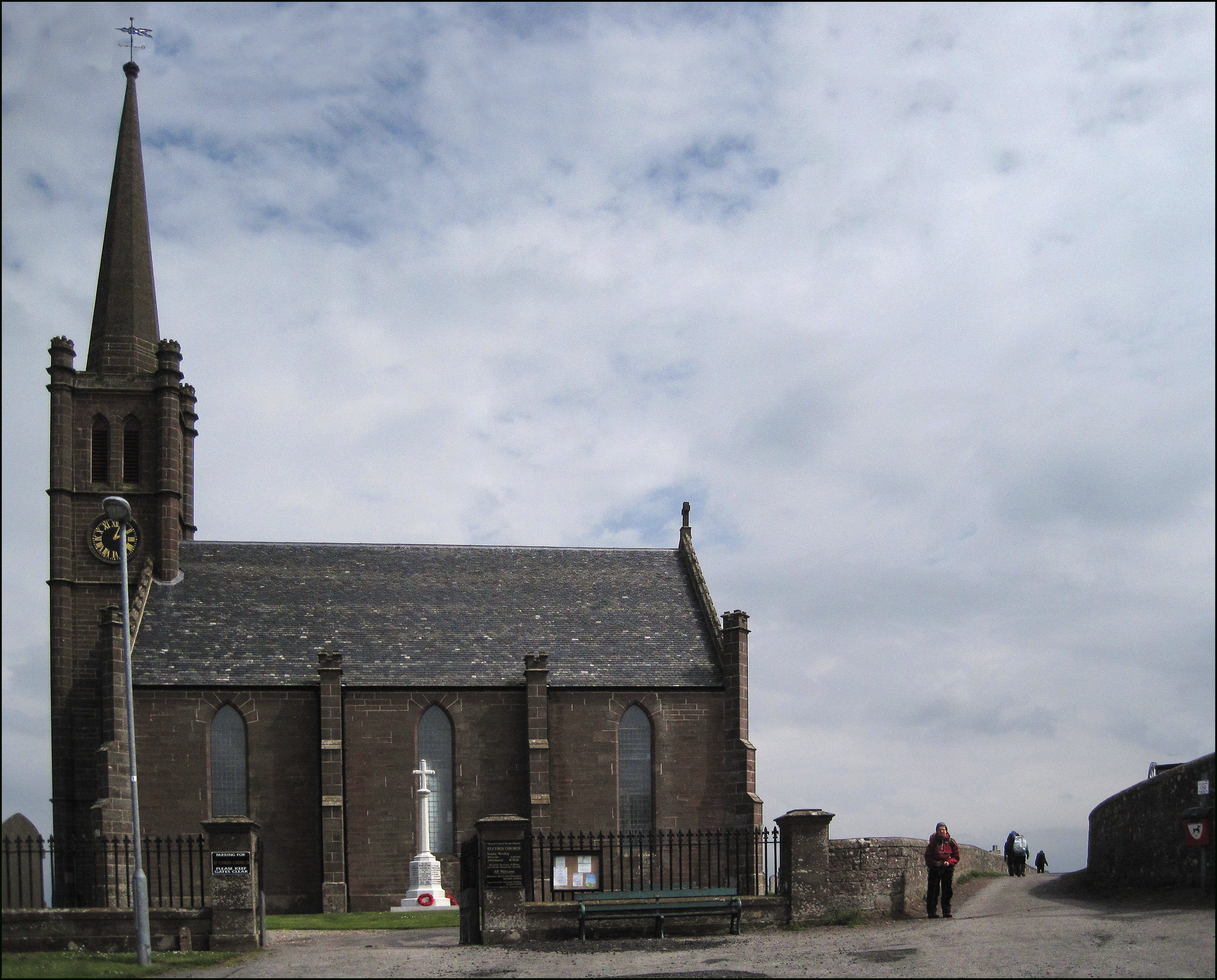
St Cyrus
St Cyrus or Saint Cyrus (Scots: Saunt Ceerus), formerly Ecclesgreig (from Scottish Gaelic: Eaglais Chiric) is a village in the far south of Aberdeenshire...

St Cyrus railway station
St Cyrus railway station served the village of St Cyrus, Aberdeenshire, Scotland from 1865 to 1951. == History == The station was opened on 1 November...

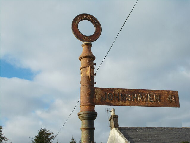
Johnshaven
Johnshaven is a coastal village along the North Sea located in Aberdeenshire, Scotland. About 2 miles (3 km) southwest of Johnshaven lies Milton Ness,...
Lathallan School
Lathallan School is a co-educational all-through independent school at Brotherton Castle in Scotland, UK. It also offers outdoor learning programs on its...
Nearby Amenities
Located within 500m of 56.804473,-2.392512Have you been to West Belt?
Leave your review of West Belt below (or comments, questions and feedback).