Cairnfall Wood

Wood, Forest in Aberdeenshire

Scotland

Cairnfall Wood

Birkenhills Farm The roadside steading of Birkenhills Farm by the A947.
Birkenhills Farm Credit: Andrew Wood

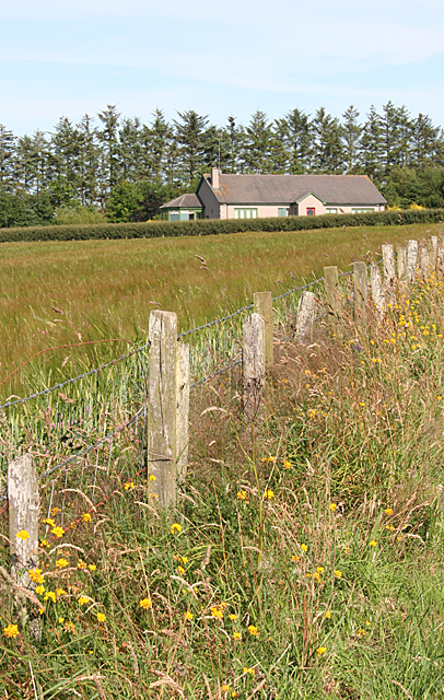
Cairnfall Wood is a picturesque forest located in Aberdeenshire, Scotland. Covering an area of approximately 200 acres, this woodland is a popular destination for nature lovers and outdoor enthusiasts. The wood is situated near the village of Lumphanan, just a short drive from Aberdeen.

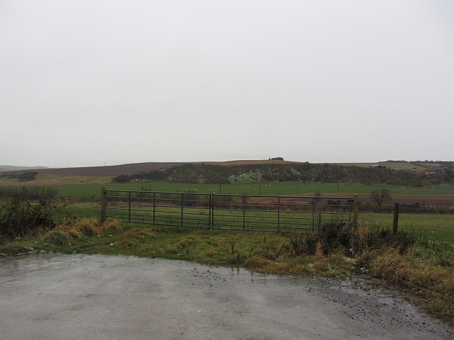
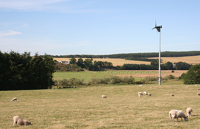
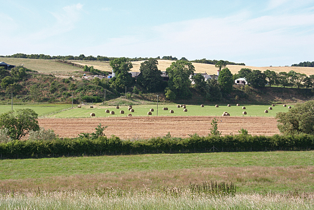
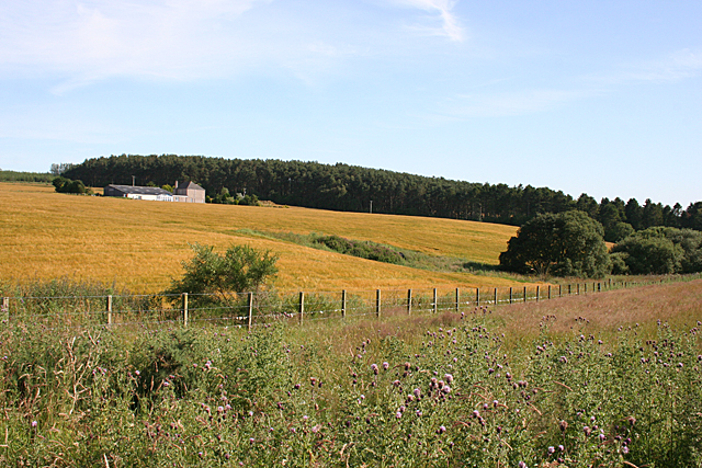
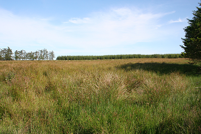
The terrain of Cairnfall Wood is characterized by rolling hills and dense vegetation, providing a beautiful and tranquil setting for visitors. The forest is predominantly composed of native tree species such as oak, birch, and pine, creating a diverse and vibrant ecosystem. The towering trees provide ample shade during the summer months, making it an ideal spot for picnics and leisurely walks.

A network of well-maintained trails winds its way through Cairnfall Wood, offering visitors the opportunity to explore the area on foot or by bike. These pathways provide scenic views of the surrounding countryside, including glimpses of the nearby River Dee. The forest is also home to a variety of wildlife, including deer, squirrels, and a wide array of bird species, making it a haven for wildlife enthusiasts and birdwatchers.

In addition to its natural beauty, Cairnfall Wood is steeped in history. It is believed to have been part of an ancient hunting ground and is dotted with remnants of old structures and archaeological sites. The wood also played a significant role in Scottish history, being the location where Macbeth, the infamous medieval king, is said to have met the three witches who prophesied his fate.

Overall, Cairnfall Wood is a captivating destination that showcases the beauty of Aberdeenshire's natural landscape while offering a glimpse into its rich cultural heritage.

If you have any feedback on the listing, please let us know in the comments section below.

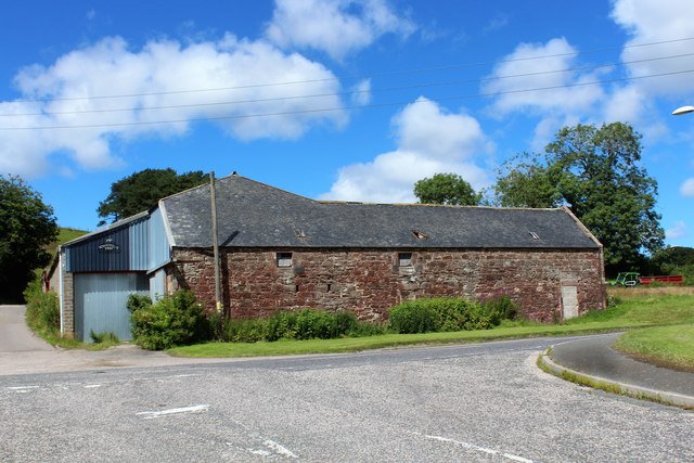
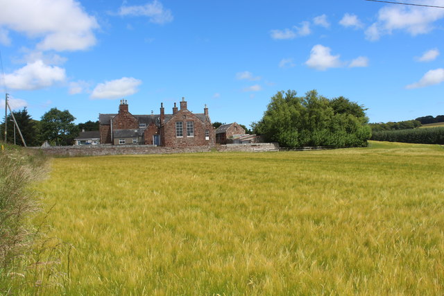
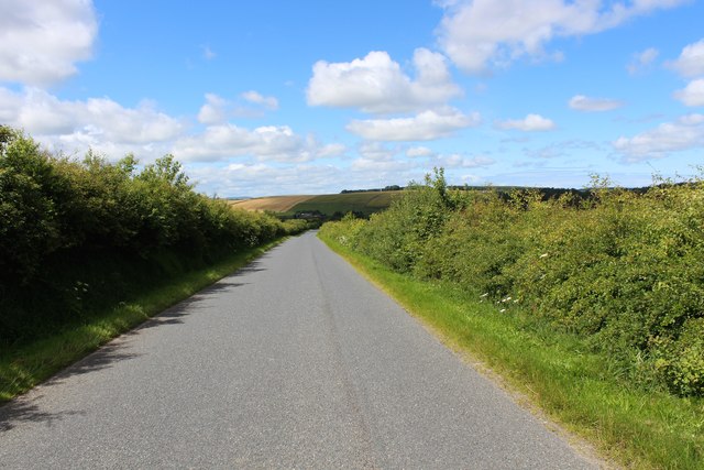
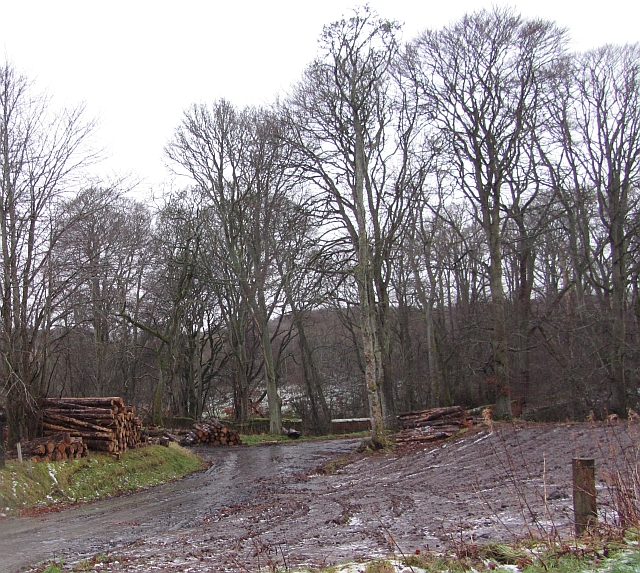
Cairnfall Wood Images

Images are sourced within 2km of 57.511211/-2.4000417 or Grid Reference NJ7646. Thanks to Geograph Open Source API. All images are credited.

Birkenhills Farm The roadside steading of Birkenhills Farm by the A947.
Birkenhills Farm
The roadside steading of Birkenhills Farm by the A947.
Birkenhills School Seen across a field of barley this building no longer functions as a school but as a community centre.
Birkenhills School
Seen across a field of barley this building no longer functions as a school but as a community centre.
Hedgerows by Lendrum The hedge lined road between Lendrum and Birkenhills.
Hedgerows by Lendrum
The hedge lined road between Lendrum and Birkenhills.
Lendrum Road A view up an unclassified side road to Lendrum Farm just visible top right.
Lendrum Road
A view up an unclassified side road to Lendrum Farm just visible top right.
Mill of Backhill The mill of Backhill in the howe of the Burn of Balquholly which presumably provided a power source. Backmill Farm can be seen on the right.
Mill of Backhill
The mill of Backhill in the howe of the Burn of Balquholly which presumably provided a power source. Backmill Farm can be seen on the right.
Logs, Crow Wood Piles of logs on the edge of Crow Wood, Hatton Castle Estate.
Logs, Crow Wood
Piles of logs on the edge of Crow Wood, Hatton Castle Estate.
Thawing fields Thawing of frost and snow is probably the most miserable of water. Latent heat of fusion takes its toll on air temperatures and the cooling forms fogs. Melting snow becomes very slippery ice and it's usually raining, just like today. View across a sodden field towards Wood of Colp.
Thawing fields
Thawing of frost and snow is probably the most miserable of water. Latent heat of fusion takes its toll on air temperatures and the cooling forms fogs. Melting snow becomes very slippery ice and it's usually raining, just like today. View across a sodden field towards Wood of Colp.
Big gates near Quarryhill Big combines need big gates. Faffing around with tripods and long exposures meant that I needed safe pull offs from the road. This entrance to a field was metalled and very convenient.
I was here in Summer 2011, and it rained then too, more light though.
Big gates near Quarryhill
Big combines need big gates. Faffing around with tripods and long exposures meant that I needed safe pull offs from the road. This entrance to a field was metalled and very convenient. I was here in Summer 2011, and it rained then too, more light though.
Little Ardinn Looking across the flat haugh land by the Idoch Water to Little Ardinn on the brae above.
Little Ardinn
Looking across the flat haugh land by the Idoch Water to Little Ardinn on the brae above.
Sheep and Hay Sheep on the low ground, and hay drying on the higher ground near Little Ardinn.
Sheep and Hay
Sheep on the low ground, and hay drying on the higher ground near Little Ardinn.
Little Ardinn The farm buildings at Little Ardin are sensibly sited above the floodplain of the Idoch Water.
Little Ardinn
The farm buildings at Little Ardin are sensibly sited above the floodplain of the Idoch Water.
Hillhead of Balquhindachy There is a fine crop of Creeping Thistle in the foreground, in contrast to the golden barley in the cultivated field at Hillhead.
Hillhead of Balquhindachy
There is a fine crop of Creeping Thistle in the foreground, in contrast to the golden barley in the cultivated field at Hillhead.
New House near Hillside The house is not named on the maps.
New House near Hillside
The house is not named on the maps.
Rushy Field This field, judging by the profusion of rushes, must be very damp.
Rushy Field
This field, judging by the profusion of rushes, must be very damp.
Drainage Ditch The white flowers of Queen of the Meadows or Meadowsweet (Filipendula ulmaria) show that this is damp ground.
Drainage Ditch
The white flowers of Queen of the Meadows or Meadowsweet (Filipendula ulmaria) show that this is damp ground.
Acres and Acres of Barley All the orange-coloured cereal crops are barley, which is by a very large margin the commonest crop grown in this area. The green is pasture on Lendrum Hill.
Acres and Acres of Barley
All the orange-coloured cereal crops are barley, which is by a very large margin the commonest crop grown in this area. The green is pasture on Lendrum Hill.
Backmill Still more fields of barley, the ripening grain given a reddish tinge by the evening sunshine.
Backmill
Still more fields of barley, the ripening grain given a reddish tinge by the evening sunshine.
Hay Bales Bales awaiting collection and storage. Here's hoping they are safely under cover before it rains again.
Hay Bales
Bales awaiting collection and storage. Here's hoping they are safely under cover before it rains again.
Show me another place!

Cairnfall Wood is located at Grid Ref: NJ7646 (Lat: 57.511211, Lng: -2.4000417)

Unitary Authority: Aberdeenshire

Police Authority: North East

What 3 Words

///outcasts.clubs.unzips. Near Turriff, Aberdeenshire

Related Wikis

Hatton Castle, Aberdeenshire

Hatton Castle is almost three miles (4.8 km) south-east of Turriff, Aberdeenshire in the north-east of Scotland. Formerly known as Balquholly Castle, sometimes...

Idoch Castle

Idoch Castle was a 14th-century castle about 3 miles (4.8 km) east of Turriff, Aberdeenshire Scotland, near Idoch Water, a tributary of the River Deveron...

Auchterless railway station

Auchterless railway station was a railway station in Auchterless, Aberdeenshire. It served the rural area, the estate of Towie Barclay and a settlement...

Delgatie Castle

Delgatie Castle is a castle near Turriff, in Aberdeenshire, Scotland. A castle has stood on the site of Delgatie Castle since the year 1030 AD, although...

Turriff Cottage Hospital

Turriff Cottage Hospital is a community hospital in Turriff, Aberdeenshire, Scotland. It is managed by NHS Grampian. == History == The hospital was designed...

Turriff railway station

Turriff railway station was a railway station in Turriff, Aberdeenshire, Scotland. It was opened in 1857 by the Banff Macduff & Turriff Junction Railway...

Turriff Academy

Turriff Academy is a non denominational comprehensive co-educational secondary school located in Turriff, Aberdeenshire, Scotland. It serves a large catchment...

Turriff

Turriff (from Scottish Gaelic Torraibh 'place of round hills') is a town and civil parish in Aberdeenshire in Scotland. It lies on the River Deveron,...

Nearby Amenities

Located within 500m of 57.511211,-2.4000417
Power: pole
Lat/Long: 57.5082665/-2.4056415
Power: pole
Lat/Long: 57.5087793/-2.405633
Power: pole
Lat/Long: 57.5093307/-2.4049027
Power: pole
Lat/Long: 57.5098163/-2.4042571
Power: pole
Lat/Long: 57.5102961/-2.403603
Power: pole
Lat/Long: 57.510976/-2.4019837
Power: pole
Lat/Long: 57.514293/-2.3951107
The data included in this document is from www.openstreetmap.org. The data is made available under ODbL.

Have you been to Cairnfall Wood?

Leave your review of Cairnfall Wood below (or comments, questions and feedback).