Chapelfield Belt
Downs, Moorland in Kincardineshire
Scotland
Chapelfield Belt
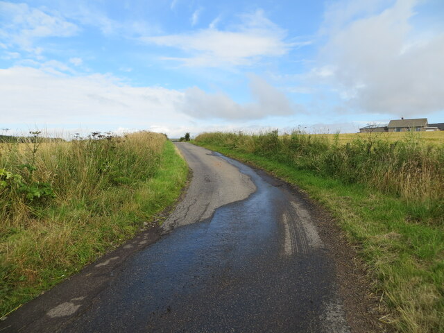
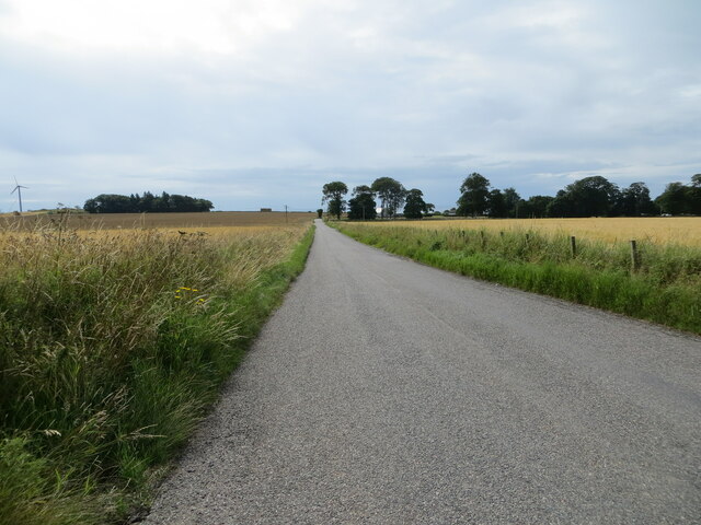
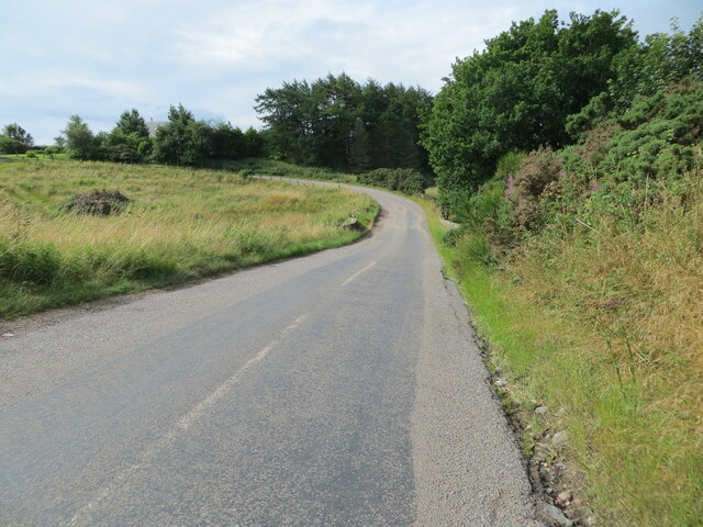
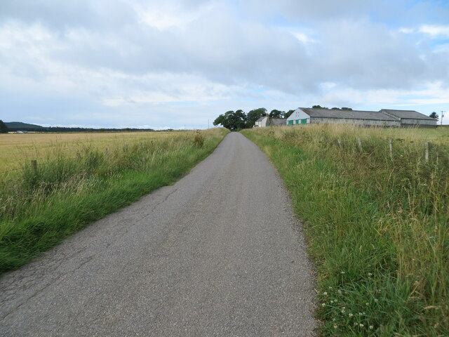
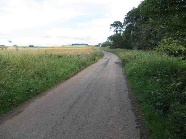
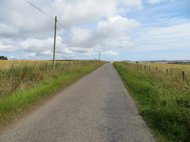
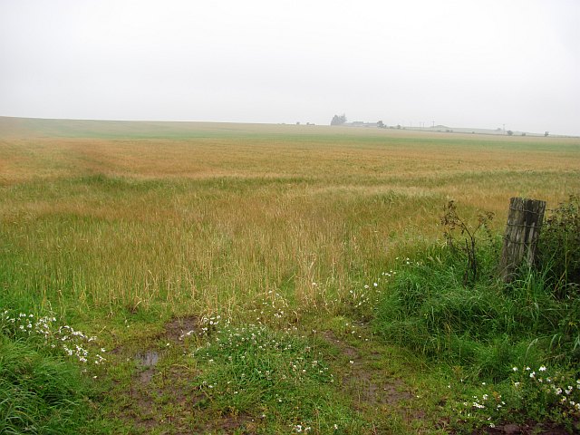
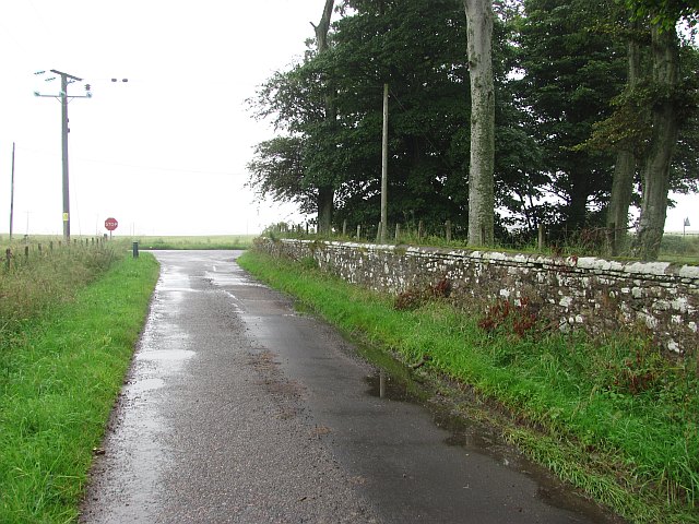
Chapelfield Belt is a picturesque area located in Kincardineshire, Scotland. It is characterized by its diverse landscape, encompassing both downs and moorland. The belt stretches over a considerable area, providing ample space for exploration and outdoor activities.
The downs in Chapelfield Belt offer rolling hills and gentle slopes, covered in lush green grass. They provide a perfect backdrop for leisurely walks and picnics, with stunning panoramic views of the surrounding countryside. The downs also serve as excellent grazing land for livestock, contributing to the region's agricultural heritage.
In contrast, the moorland in Chapelfield Belt is a wild and rugged terrain, with heather-covered hills and rocky outcrops. This unique landscape is home to a variety of plant and animal species, making it a popular destination for nature enthusiasts and birdwatchers. The moorland is particularly beautiful during the blooming season, when the purple heather carpets the hillsides, creating a breathtaking sight.
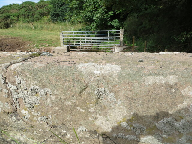
The area also boasts several walking trails, providing opportunities for visitors to explore and appreciate the natural beauty of Chapelfield Belt. These trails vary in difficulty, catering to both beginners and experienced hikers. Along the way, walkers can encounter an array of wildlife, including deer, rabbits, and various bird species.
Overall, Chapelfield Belt in Kincardineshire offers a diverse and captivating landscape, with its downs and moorland providing a unique blend of beauty and tranquility. Whether one seeks a peaceful retreat or an adventurous outing, this area is sure to leave a lasting impression.
If you have any feedback on the listing, please let us know in the comments section below.
Chapelfield Belt Images
Images are sourced within 2km of 56.805536/-2.3886093 or Grid Reference NO7668. Thanks to Geograph Open Source API. All images are credited.


Chapelfield Belt is located at Grid Ref: NO7668 (Lat: 56.805536, Lng: -2.3886093)
Unitary Authority: Aberdeenshire
Police Authority: North East
What 3 Words
///comedians.owes.makeovers. Near St Cyrus, Aberdeenshire
Nearby Locations
Related Wikis

Lauriston Castle, Aberdeenshire
Lauriston Castle stands on a clifftop site near the Aberdeenshire village of St Cyrus and just over a mile inland from the North Sea coast of Scotland...

Lauriston railway station
Lauriston railway station served the village of Bush, Aberdeenshire, Scotland from 1865 to 1966 on the Montrose and Bervie Railway. == History == The station...

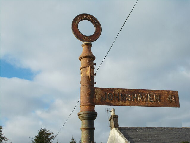
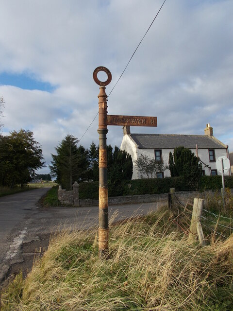
Johnshaven railway station
Johnshaven railway station served the area of Johnshaven, Aberdeenshire, Scotland from 1865 to 1951 on the Montrose and Bervie Railway. == History == The...

Johnshaven
Johnshaven is a coastal village along the North Sea located in Aberdeenshire, Scotland. About 2 miles (3 km) southwest of Johnshaven lies Milton Ness,...

Milton Ness
Milton Ness is a coastal landform along the coast of the North Sea approximately two miles south of the village of Johnshaven, Scotland. This headland...
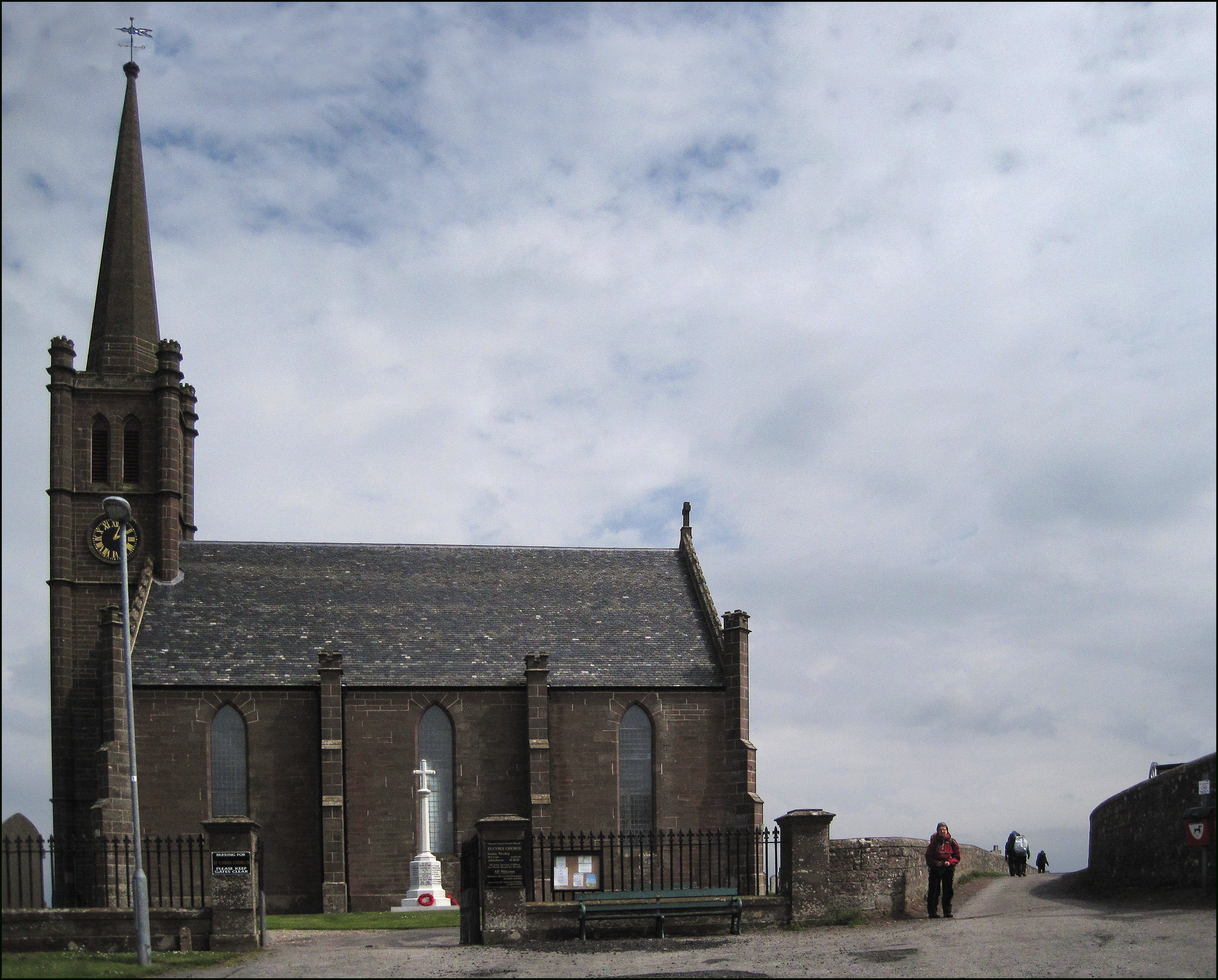
St Cyrus
St Cyrus or Saint Cyrus (Scots: Saunt Ceerus), formerly Ecclesgreig (from Scottish Gaelic: Eaglais Chiric) is a village in the far south of Aberdeenshire...

St Cyrus railway station
St Cyrus railway station served the village of St Cyrus, Aberdeenshire, Scotland from 1865 to 1951. == History == The station was opened on 1 November...
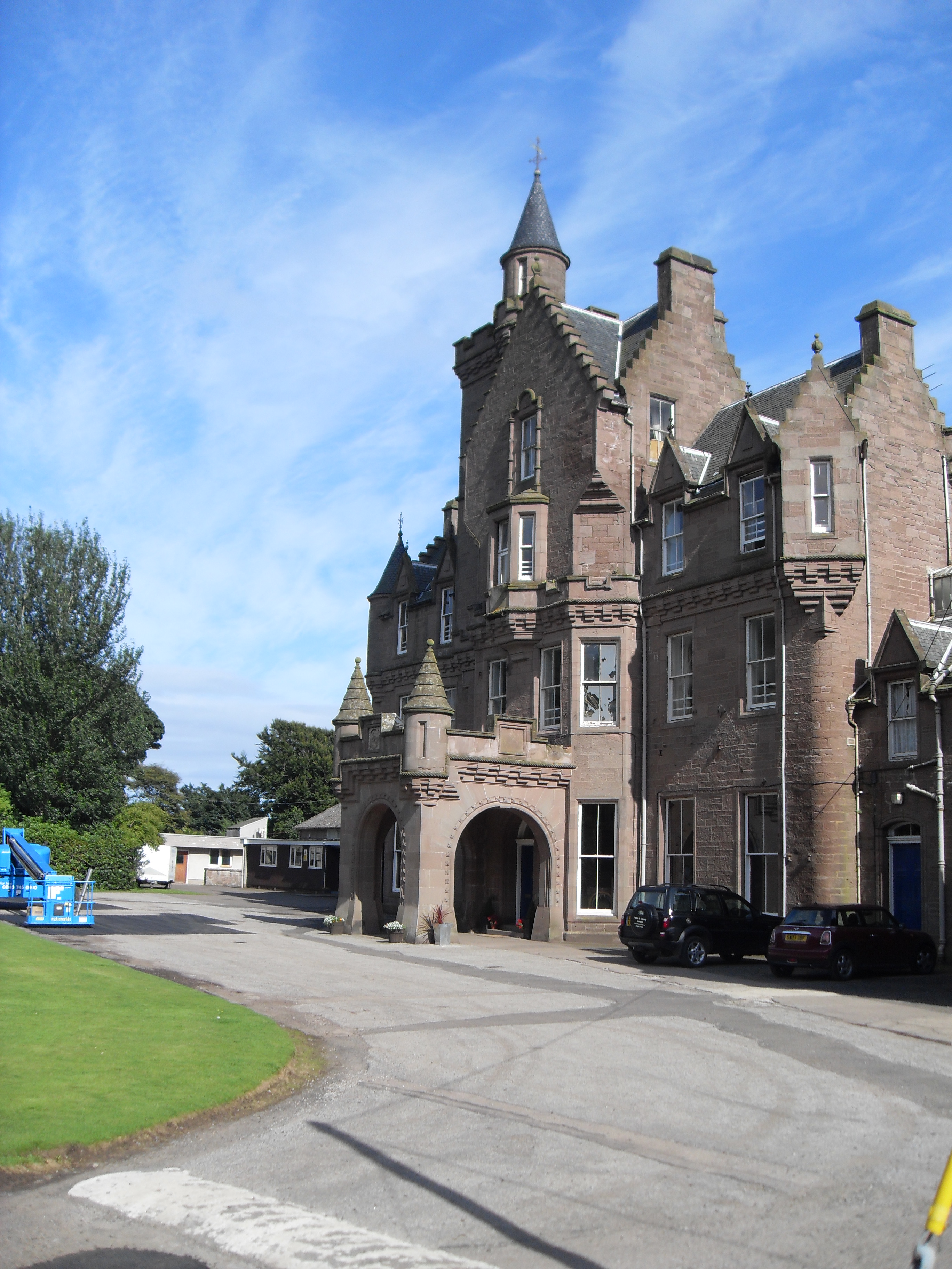
Lathallan School
Lathallan School is a co-educational all-through independent school at Brotherton Castle in Scotland, UK. It also offers outdoor learning programs on its...
Nearby Amenities
Located within 500m of 56.805536,-2.3886093Have you been to Chapelfield Belt?
Leave your review of Chapelfield Belt below (or comments, questions and feedback).