Commonty Plantation

Wood, Forest in Kincardineshire

Scotland

Commonty Plantation

Hedge enclosed track giving access to Brawliemuir Farm Looking north-westward. Spelling as per farm sign.
Hedge enclosed track giving access to Brawliemuir Farm Credit: Peter Wood

Commonty Plantation is a picturesque woodland located in Kincardineshire, Scotland. Spanning approximately 100 acres, this forested area is a popular destination for nature enthusiasts and outdoor lovers.

The plantation is characterized by a diverse range of tree species, including native Scots pine, birch, and oak trees. These trees create a dense canopy that provides shelter and habitat for a wide variety of wildlife. Visitors to Commonty Plantation can expect to encounter an array of bird species, such as woodpeckers, owls, and finches, as well as small mammals like red squirrels and foxes.

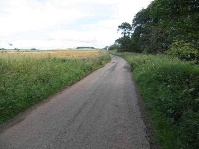
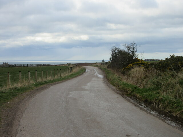
The woodland offers several walking trails that wind through its enchanting landscape. These paths are well-maintained, making it accessible for hikers of all skill levels. A network of footbridges and boardwalks allows visitors to navigate the more marshy areas and cross over streams, enhancing the overall experience.

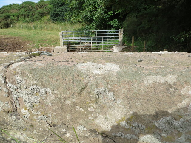
In addition to its natural beauty, Commonty Plantation also has historical significance. The site was once part of a larger estate and has remnants of old stone walls and structures that date back to the 18th century. These historical features add an extra layer of intrigue and charm to the woodland.

Overall, Commonty Plantation is a captivating destination that offers a peaceful and immersive experience in nature. Whether one is seeking a tranquil walk, birdwatching opportunities, or a chance to explore Scotland's heritage, this woodland is sure to leave a lasting impression.

If you have any feedback on the listing, please let us know in the comments section below.

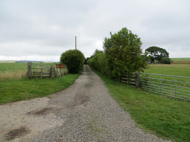
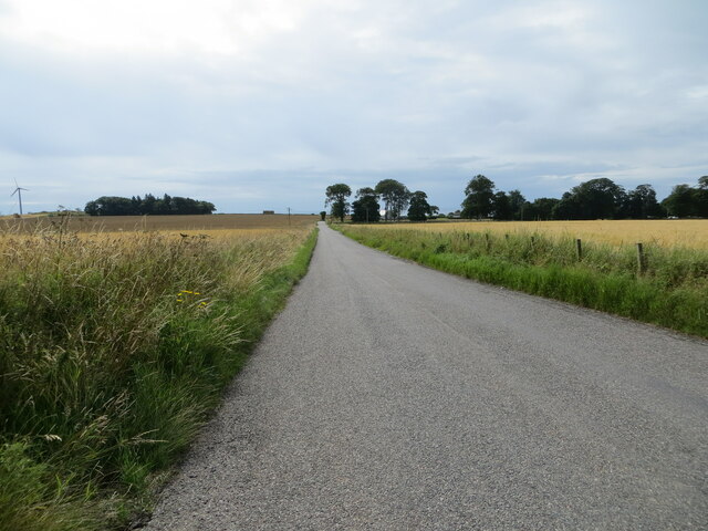
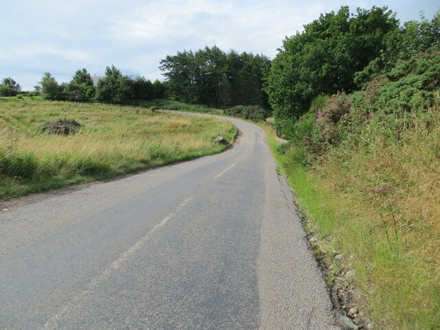
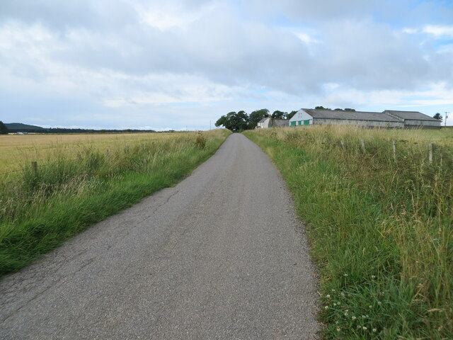
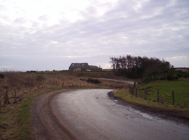
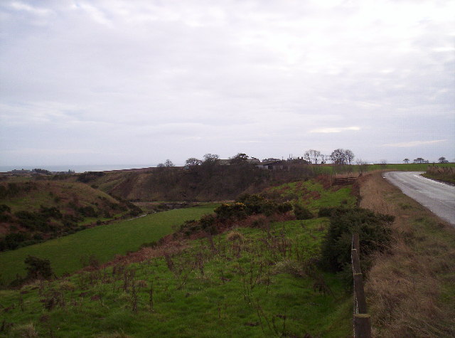
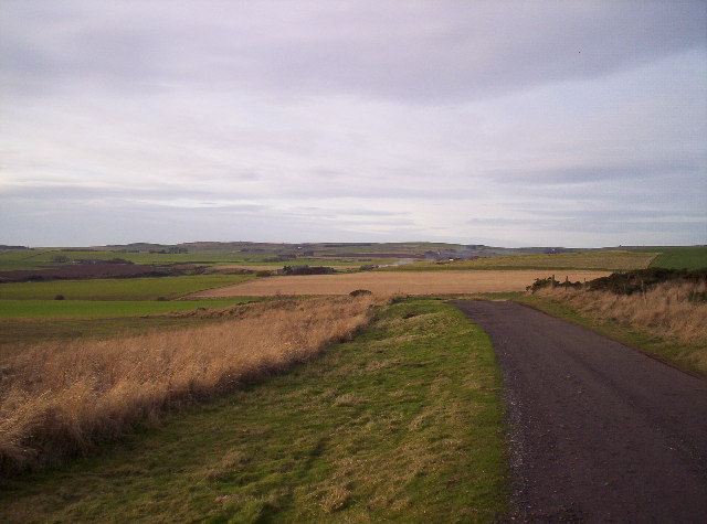
Commonty Plantation Images

Images are sourced within 2km of 56.810971/-2.3797886 or Grid Reference NO7668. Thanks to Geograph Open Source API. All images are credited.

Hedge enclosed track giving access to Brawliemuir Farm Looking north-westward. Spelling as per farm sign.
Hedge enclosed track giving access to Brawliemuir Farm
Looking north-westward. Spelling as per farm sign.
Road (B9120) approaching Lauriston Looking south-eastward.
Road (B9120) approaching Lauriston
Looking south-eastward.
Road (B9120) near to Biddrie Looking south-westward.
Road (B9120) near to Biddrie
Looking south-westward.
Minor road approaching West Balhagarty Looking south-westward.
Minor road approaching West Balhagarty
Looking south-westward.
Minor road beside Balhagarty Plantation Looking north-eastward.
Minor road beside Balhagarty Plantation
Looking north-eastward.
Ordnance Survey Cut Mark This mark can be found on the parapet wall of a road (B9120) bridge near to West Belt.
The recorded details give a height of 130.1039 metres above sea level.
For more detail see : <span class="nowrap"><a title="https://www.bench-marks.org.uk/bm162665" rel="nofollow ugc noopener" href="https://www.bench-marks.org.uk/bm162665">Link</a><img style="margin-left:2px;" alt="External link" title="External link - shift click to open in new window" src="https://s1.geograph.org.uk/img/external.png" width="10" height="10"/></span>
Ordnance Survey Cut Mark
This mark can be found on the parapet wall of a road (B9120) bridge near to West Belt. The recorded details give a height of 130.1039 metres above sea level. For more detail see : LinkExternal link
C7K (Aberdeenshire) Road The C7K road heading towards the A92 at Johnshaven, with the North Sea in the distance.
C7K (Aberdeenshire) Road
The C7K road heading towards the A92 at Johnshaven, with the North Sea in the distance.
Farm sheds at Craighead Looking north from the roadside to three large sheds at Craighead.
Farm sheds at Craighead
Looking north from the roadside to three large sheds at Craighead.
Pink bales A distant view of pink-wrapped bales to the north of Muirton on the lower southern slope of Paul Matthew Hill.
Pink bales
A distant view of pink-wrapped bales to the north of Muirton on the lower southern slope of Paul Matthew Hill.
Old fingerpost On the B9120 at West Balhagarty on the route from the A92 to Laurencekirk is this fingerpost with KINCARDINE CC on the annulus.  The main post may have been made at Stanton's foundry.  The sign may have had at least one other finger and may be the only surviving fingerpost set up by the old Kincardine CC but now Aberdeenshire.
Old fingerpost
On the B9120 at West Balhagarty on the route from the A92 to Laurencekirk is this fingerpost with KINCARDINE CC on the annulus. The main post may have been made at Stanton's foundry. The sign may have had at least one other finger and may be the only surviving fingerpost set up by the old Kincardine CC but now Aberdeenshire.
Old fingerpost A full view of this fingerpost with Kincardine CC on the annulus.
Old fingerpost
A full view of this fingerpost with Kincardine CC on the annulus.
Farm road to Chapelfield
Farmland at Chapelfield
Farmland around Brae Cottages The sign is opposition to the proposed wind farm on Hill of Garvock.
Farmland around Brae Cottages
The sign is opposition to the proposed wind farm on Hill of Garvock.
Chapelfield and Den of Finella
Fields, Farm Track and Jackston Farm
Show me another place!

Commonty Plantation is located at Grid Ref: NO7668 (Lat: 56.810971, Lng: -2.3797886)

Unitary Authority: Aberdeenshire

Police Authority: North East

What 3 Words

///nipping.sweetened.miss. Near St Cyrus, Aberdeenshire

Related Wikis

Nearby Amenities

Located within 500m of 56.810971,-2.3797886
Generator Method: wind_turbine
Generator Output Electricity: 2300 kW
Generator Source: wind
Generator Type: horizontal_axis
Height Hub: 65
Manufacturer: Enercon
Power: generator
Rotor Diameter: 70
Lat/Long: 56.8142612/-2.3744309
The data included in this document is from www.openstreetmap.org. The data is made available under ODbL.

Have you been to Commonty Plantation?

Leave your review of Commonty Plantation below (or comments, questions and feedback).