Stoneyfield Belt

Wood, Forest in Kincardineshire

Scotland

Stoneyfield Belt

Road into Auchenblae Warning of pipeline construction traffic.
Road into Auchenblae Credit: Richard Webb

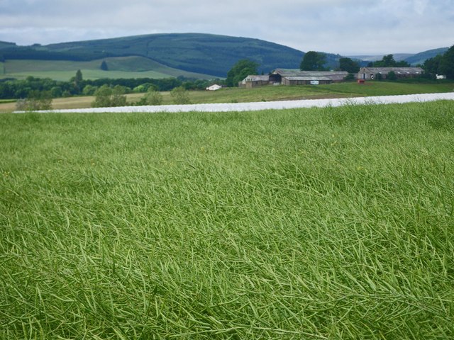
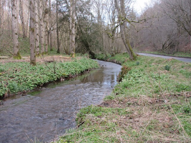
Stoneyfield Belt is a picturesque woodland area located in Kincardineshire, Scotland. Spanning over a vast area, this enchanting forest is known for its rich natural beauty and diverse ecosystem.

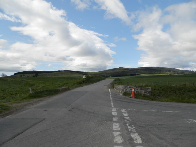
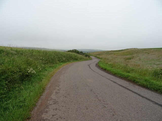
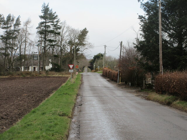
The forest is predominantly composed of a variety of tree species, including Scottish pine, oak, and birch trees. The dense foliage and towering canopies create a serene and tranquil atmosphere, making it a popular destination for nature lovers and hikers alike. Visitors can explore the forest through a network of well-marked trails that wind their way through the woodland, providing an opportunity to immerse oneself in the splendor of nature.

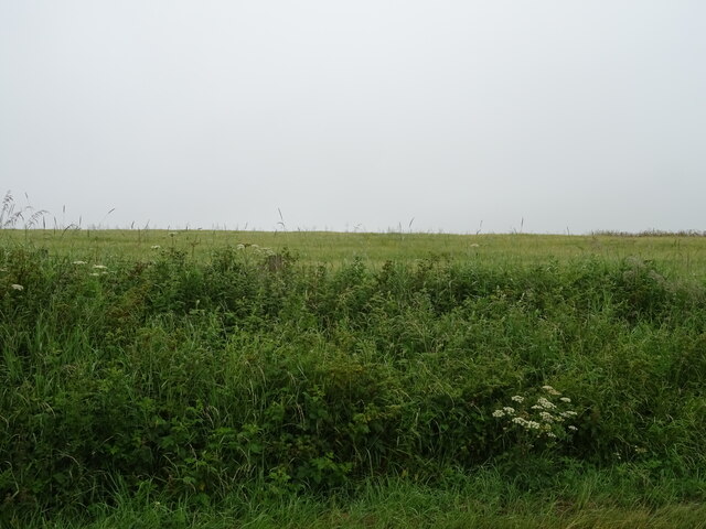
Stoneyfield Belt is home to a diverse range of wildlife, including deer, foxes, badgers, and a plethora of bird species. Birdwatchers can catch a glimpse of various avian residents, such as woodpeckers, owls, and songbirds. The forest is also teeming with native flora, with carpets of wildflowers adding bursts of color to the landscape during the spring and summer months.

The forest has been carefully managed and protected by local authorities, ensuring the conservation of its natural resources and promoting sustainable practices. Educational programs and guided tours are available to visitors, providing valuable insights into the importance of forest ecosystems and the need for their preservation.

With its idyllic scenery, diverse wildlife, and well-preserved ecosystem, Stoneyfield Belt in Kincardineshire offers a captivating experience for nature enthusiasts and a haven of tranquility for those seeking solace in the great outdoors.

If you have any feedback on the listing, please let us know in the comments section below.

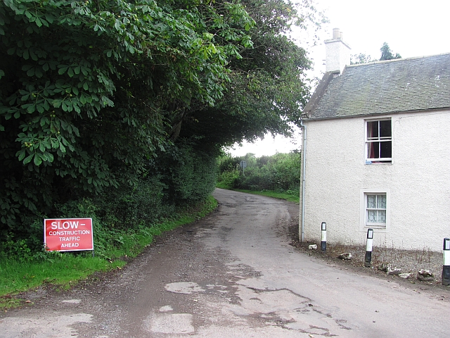
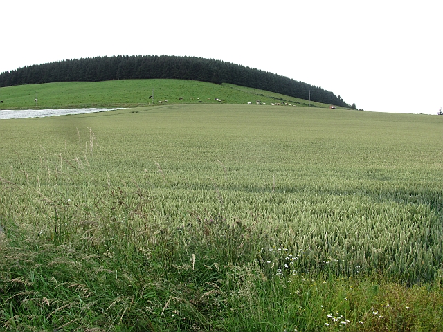
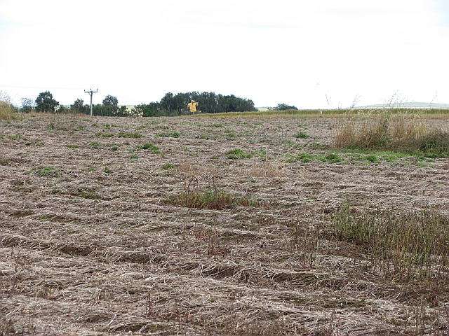
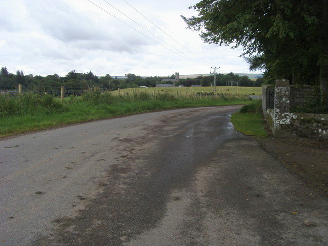
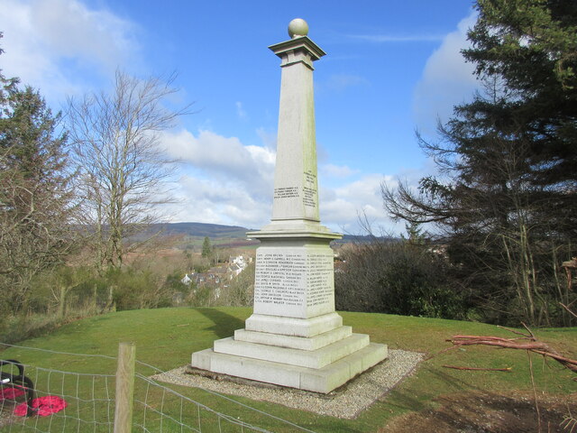
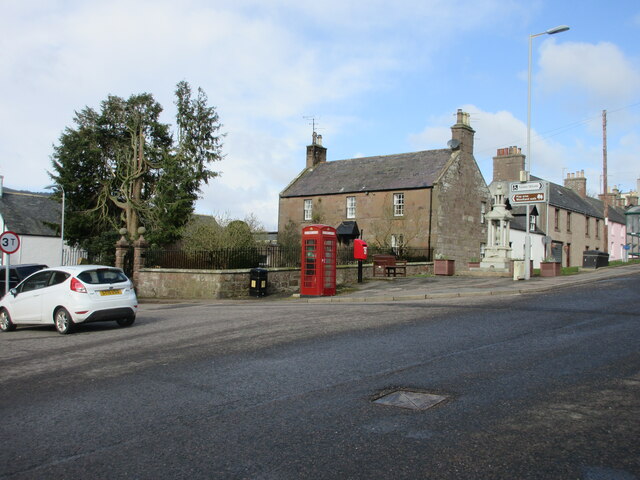
Stoneyfield Belt Images

Images are sourced within 2km of 56.896521/-2.4271459 or Grid Reference NO7478. Thanks to Geograph Open Source API. All images are credited.

Road into Auchenblae Warning of pipeline construction traffic.
Road into Auchenblae
Warning of pipeline construction traffic.
Wheat field by Auchenblae Nearby they are ploughing this year's stubble but this field has yet to turn from green.
Wheat field by Auchenblae
Nearby they are ploughing this year's stubble but this field has yet to turn from green.
Field by Auchenblae Field with a scarecrow.
Field by Auchenblae
Field with a scarecrow.
Triangulation pillar, Pittengardner Unlike the one on Strathfinella Hill (background) there is a view from this one. It is on the edge of a farmyard.
Triangulation pillar, Pittengardner
Unlike the one on Strathfinella Hill (background) there is a view from this one. It is on the edge of a farmyard.
Looking to Auchenblae church From the cemetery looking to Auchenblae church
Looking to Auchenblae church
From the cemetery looking to Auchenblae church
Waist deep in rapeseed Blooms are gone from the rapeseed.
Waist deep in rapeseed
Blooms are gone from the rapeseed.
Farm yard with trig point The farm is Pittengardner and the trig point beside the fence, below the bank is known to the OS by that name. The farm lies on a minor road north-west of Fordoun.
(Note:The appearance of the locality of the pillar has changed with the bank from which the image was recorded having been removed - see Richard Webb's photo of 2011. <a title="https://www.geograph.org.uk/photo/2547649)" href="https://www.geograph.org.uk/photo/2547649)">Link</a>
Farm yard with trig point
The farm is Pittengardner and the trig point beside the fence, below the bank is known to the OS by that name. The farm lies on a minor road north-west of Fordoun. (Note:The appearance of the locality of the pillar has changed with the bank from which the image was recorded having been removed - see Richard Webb's photo of 2011. Link
Burnmouth Brig over Burnie Shag
Field above the Glenbervie Road
Glenbervie Road From Kinkell towards Glenbervie.
Glenbervie Road
From Kinkell towards Glenbervie.
Luther Water The Luther Water on the west side of the road heading north into Auchenblae.
Luther Water
The Luther Water on the west side of the road heading north into Auchenblae.
Heading to Crossroads Minor road heading northwards to the B966 at Crossroads.
Heading to Crossroads
Minor road heading northwards to the B966 at Crossroads.
Pittengardner Trig Pillar The triangulation pillar on the north side of the farmyard at Pittengardner.
Pittengardner Trig Pillar
The triangulation pillar on the north side of the farmyard at Pittengardner.
Cushnie Farm Cottages Cottages at the entrance drive to Cushnie, viewed from the south-east.
Cushnie Farm Cottages
Cottages at the entrance drive to Cushnie, viewed from the south-east.
Scarecrow at Bankhead Rudimentary scarecrow in a field to the east of Bankhead.
Scarecrow at Bankhead
Rudimentary scarecrow in a field to the east of Bankhead.
Fordoun War Memorial Fordoun War Memorial on Gilbert's Hill overlooking Auchenblae from the south.
Fordoun War Memorial
Fordoun War Memorial on Gilbert's Hill overlooking Auchenblae from the south.
Former telephone box in Auchenblae Red telephone box now housing a defibrillator in the centre of Auchenblae.
Former telephone box in Auchenblae
Red telephone box now housing a defibrillator in the centre of Auchenblae.
Rivet benchmark, Auchenblae Church Ordnance Survey rivet benchmark. For database entry, see <span class="nowrap"><a title="https://www.bench-marks.org.uk/bm192328" rel="nofollow ugc noopener" href="https://www.bench-marks.org.uk/bm192328">Link</a><img style="margin-left:2px;" alt="External link" title="External link - shift click to open in new window" src="https://s1.geograph.org.uk/img/external.png" width="10" height="10"/></span>.
Rivet benchmark, Auchenblae Church
Ordnance Survey rivet benchmark. For database entry, see LinkExternal link.
Show me another place!

Stoneyfield Belt is located at Grid Ref: NO7478 (Lat: 56.896521, Lng: -2.4271459)

Unitary Authority: Aberdeenshire

Police Authority: North East

What 3 Words

///tooth.envoy.stream. Near Laurencekirk, Aberdeenshire

Related Wikis

Auchinblae distillery

Auchenblae distillery was a scotch whisky distillery in Auchenblae, Kincardine, Aberdeenshire, Scotland. == History == The distillery was created in 1895...

Fordoun Stone

The Fordoun Stone is a class II Pictish cross slab in Fordoun parish church, Auchenblae, Aberdeenshire, Scotland. == Description == A slab of Old Red Sandstone...

Auchenblae

Auchenblae (, Scottish Gaelic: Achadh nam Blàth) is a village in the Kincardine and Mearns area of Aberdeenshire, formerly in Kincardineshire, Scotland...

Abbeyton Bridge

Abbeyton Bridge was a road bridge that carried the B966 road over the Dundee–Aberdeen line. == History == In June 2018, Aberdeenshire Council introduced...

Nearby Amenities

Located within 500m of 56.896521,-2.4271459
Monboddo
Place: hamlet
Lat/Long: 56.8952402/-2.4211126
Power: pole
Lat/Long: 56.8983981/-2.4211384
Power: pole
Lat/Long: 56.8979124/-2.4222097
Power: pole
Lat/Long: 56.8975078/-2.4230725
Power: pole
Lat/Long: 56.8971117/-2.4239353
Power: pole
Lat/Long: 56.8967349/-2.4247471
Power: pole
Lat/Long: 56.896248/-2.4259559
Power: pole
Lat/Long: 56.8959681/-2.426639
Power: pole
Lat/Long: 56.8956435/-2.427453
Power: pole
Lat/Long: 56.8953576/-2.4281606
Power: pole
Lat/Long: 56.8950899/-2.4288504
Power: pole
Lat/Long: 56.8943764/-2.4281938
Power: pole
Lat/Long: 56.8938094/-2.4276793
Power: pole
Lat/Long: 56.8932255/-2.4271536
Power: pole
Lat/Long: 56.8925495/-2.4265436
Power: pole
Lat/Long: 56.8996082/-2.4324413
Power: pole
Lat/Long: 56.897683/-2.4213241
Power: pole
Lat/Long: 56.8974494/-2.420473
Power: pole
Lat/Long: 56.8972122/-2.419666
Power: pole
Lat/Long: 56.8966077/-2.420021
Power: pole
Lat/Long: 56.8959875/-2.4203804
Power: pole
Lat/Long: 56.8954131/-2.4207112
The data included in this document is from www.openstreetmap.org. The data is made available under ODbL.

Have you been to Stoneyfield Belt?

Leave your review of Stoneyfield Belt below (or comments, questions and feedback).