Den Wood

Wood, Forest in Kincardineshire

Scotland

Den Wood

Poly tunnels near Fordoun Looking across to the Mains of Kair.
Poly tunnels near Fordoun Credit: Mike Pennington

Den Wood is a picturesque forest located in Kincardineshire, Scotland. Covering an area of approximately 200 acres, it is nestled amidst the stunning Aberdeenshire countryside. The wood is situated near the village of Maryculter and lies alongside the banks of the River Dee.

Den Wood is known for its diverse range of flora and fauna, making it a haven for nature enthusiasts. The woodland is primarily composed of deciduous trees such as oak, beech, and birch, creating a vibrant and colorful landscape throughout the year. The forest floor is adorned with a rich carpet of wildflowers, including bluebells, primroses, and wood anemones, adding to its natural beauty.

The wood boasts several well-maintained trails that wind through its enchanting pathways, offering visitors the opportunity to explore its hidden treasures. These paths cater to all levels of fitness and are suitable for walking, jogging, and cycling. Along the way, visitors may encounter a variety of wildlife, including red squirrels, foxes, and a wide array of bird species.

Den Wood also holds historical significance, with remnants of old stone walls and ruins of a mansion house from the 18th century still visible. These relics provide a glimpse into the area's past and add an element of intrigue to the forest.

Overall, Den Wood is a captivating and tranquil escape from the hustle and bustle of everyday life. Whether it be for a leisurely stroll, a picnic in the heart of nature, or an exploration of its historical remnants, visitors are sure to be captivated by the natural splendor that Den Wood has to offer.

If you have any feedback on the listing, please let us know in the comments section below.
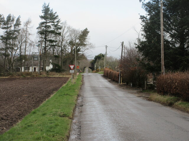
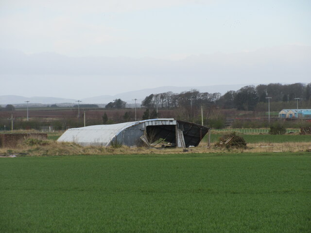
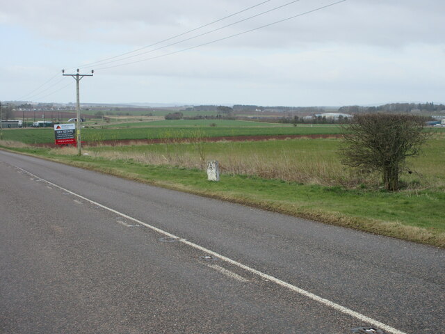
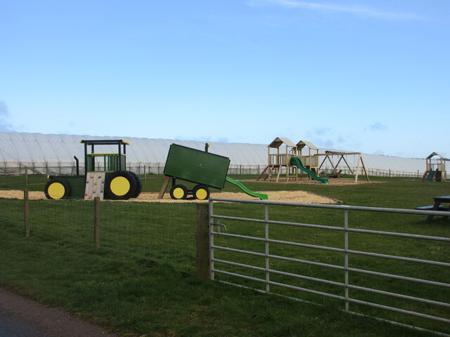
Den Wood Images

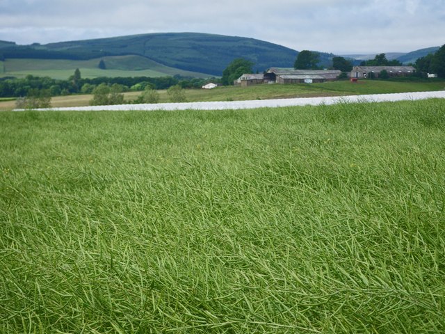
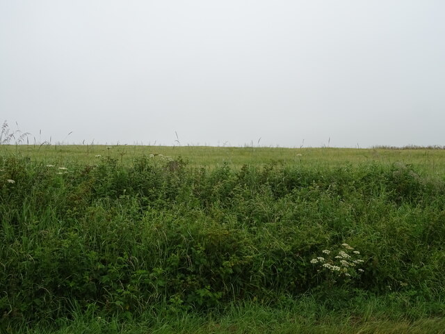
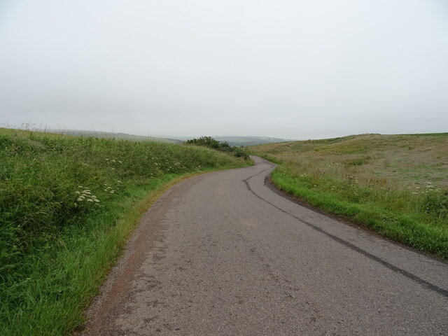
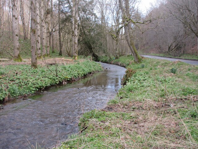
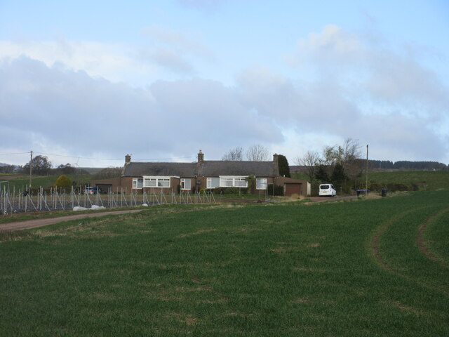
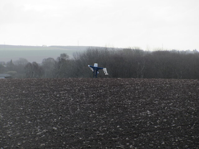
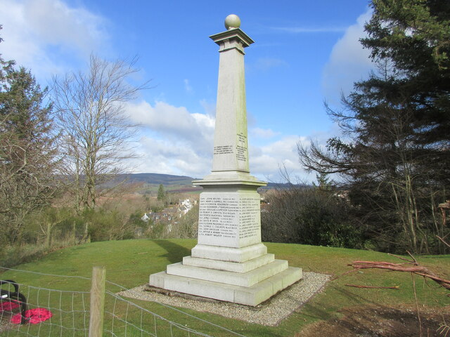
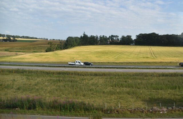
Images are sourced within 2km of 56.894091/-2.418008 or Grid Reference NO7478. Thanks to Geograph Open Source API. All images are credited.

Poly tunnels near Fordoun Looking across to the Mains of Kair.
Poly tunnels near Fordoun
Looking across to the Mains of Kair.
Triangulation pillar, Pittengardner Unlike the one on Strathfinella Hill (background) there is a view from this one. It is on the edge of a farmyard.
Triangulation pillar, Pittengardner
Unlike the one on Strathfinella Hill (background) there is a view from this one. It is on the edge of a farmyard.
Waist deep in rapeseed Blooms are gone from the rapeseed.
Waist deep in rapeseed
Blooms are gone from the rapeseed.
Farm yard with trig point The farm is Pittengardner and the trig point beside the fence, below the bank is known to the OS by that name. The farm lies on a minor road north-west of Fordoun.
(Note:The appearance of the locality of the pillar has changed with the bank from which the image was recorded having been removed - see Richard Webb's photo of 2011. <a title="https://www.geograph.org.uk/photo/2547649)" href="https://www.geograph.org.uk/photo/2547649)">Link</a>
Farm yard with trig point
The farm is Pittengardner and the trig point beside the fence, below the bank is known to the OS by that name. The farm lies on a minor road north-west of Fordoun. (Note:The appearance of the locality of the pillar has changed with the bank from which the image was recorded having been removed - see Richard Webb's photo of 2011. Link
Field above the Glenbervie Road
Glenbervie Road From Kinkell towards Glenbervie.
Glenbervie Road
From Kinkell towards Glenbervie.
Luther Water The Luther Water on the west side of the road heading north into Auchenblae.
Luther Water
The Luther Water on the west side of the road heading north into Auchenblae.
Heading to Crossroads Minor road heading northwards to the B966 at Crossroads.
Heading to Crossroads
Minor road heading northwards to the B966 at Crossroads.
Pittengardner Trig Pillar The triangulation pillar on the north side of the farmyard at Pittengardner.
Pittengardner Trig Pillar
The triangulation pillar on the north side of the farmyard at Pittengardner.
Bridge over the old A94 The East Coast line heading over the old A94 road running parallel with the A90, north of Fordoun.
Bridge over the old A94
The East Coast line heading over the old A94 road running parallel with the A90, north of Fordoun.
Dilapidated quonset hut Ruined quonset hut near the old Fordoun Airfield at Balfeith.
Dilapidated quonset hut
Ruined quonset hut near the old Fordoun Airfield at Balfeith.
Milestone on the old A94 Stonehaven/Laurencekirk milestone on the spur of the B966 near Castleton, formerly the A94.
Milestone on the old A94
Stonehaven/Laurencekirk milestone on the spur of the B966 near Castleton, formerly the A94.
Play area at Castleton Playground adjacent to Castleton Farm Shop.
Play area at Castleton
Playground adjacent to Castleton Farm Shop.
Cushnie Farm Cottages Cottages at the entrance drive to Cushnie, viewed from the south-east.
Cushnie Farm Cottages
Cottages at the entrance drive to Cushnie, viewed from the south-east.
Scarecrow at Bankhead Rudimentary scarecrow in a field to the east of Bankhead.
Scarecrow at Bankhead
Rudimentary scarecrow in a field to the east of Bankhead.
Fordoun War Memorial Fordoun War Memorial on Gilbert's Hill overlooking Auchenblae from the south.
Fordoun War Memorial
Fordoun War Memorial on Gilbert's Hill overlooking Auchenblae from the south.
A90 The A90 road is a major north to south highway in eastern Scotland, starting in Edinburgh and running for 146 miles up the majority of the east coast to end in Fraserburgh (although immediately north of the Forth it has been replaced by the similarly numbered M90).
A90
The A90 road is a major north to south highway in eastern Scotland, starting in Edinburgh and running for 146 miles up the majority of the east coast to end in Fraserburgh (although immediately north of the Forth it has been replaced by the similarly numbered M90).
Show me another place!

Den Wood is located at Grid Ref: NO7478 (Lat: 56.894091, Lng: -2.418008)

Unitary Authority: Aberdeenshire

Police Authority: North East

What 3 Words

///boasted.spades.instructs. Near Laurencekirk, Aberdeenshire

Related Wikis

Auchinblae distillery

Auchenblae distillery was a scotch whisky distillery in Auchenblae, Kincardine, Aberdeenshire, Scotland. == History == The distillery was created in 1895...

Fordoun Stone

The Fordoun Stone is a class II Pictish cross slab in Fordoun parish church, Auchenblae, Aberdeenshire, Scotland. == Description == A slab of Old Red Sandstone...

Abbeyton Bridge

Abbeyton Bridge was a road bridge that carried the B966 road over the Dundee–Aberdeen line. == History == In June 2018, Aberdeenshire Council introduced...

Fordoun railway station

Fordoun railway station served the village of Fordoun, Aberdeenshire, Scotland from 1849 to 1956 on the Aberdeen Railway. == History == The station opened...

Nearby Amenities

Located within 500m of 56.894091,-2.418008
Monboddo
Place: hamlet
Lat/Long: 56.8952402/-2.4211126
Power: pole
Lat/Long: 56.8979124/-2.4222097
Power: pole
Lat/Long: 56.8975078/-2.4230725
Power: pole
Lat/Long: 56.8971117/-2.4239353
Power: pole
Lat/Long: 56.889918/-2.4204819
Power: pole
Lat/Long: 56.8962211/-2.4157457
Power: pole
Lat/Long: 56.8963416/-2.4148505
Power: pole
Lat/Long: 56.8965089/-2.4136245
Power: pole
Lat/Long: 56.8966824/-2.4123302
Power: pole
Lat/Long: 56.897683/-2.4213241
Power: pole
Lat/Long: 56.8974494/-2.420473
Power: pole
Lat/Long: 56.8972122/-2.419666
Power: pole
Lat/Long: 56.8969304/-2.4185922
Power: pole
Lat/Long: 56.896568/-2.417137
Power: pole
Lat/Long: 56.8959333/-2.4145528
Power: pole
Lat/Long: 56.8956419/-2.4133732
Power: pole
Lat/Long: 56.8953709/-2.4122266
Power: pole
Lat/Long: 56.8951217/-2.411241
Power: pole
Lat/Long: 56.8966077/-2.420021
Power: pole
Lat/Long: 56.8959875/-2.4203804
Power: pole
Lat/Long: 56.8954131/-2.4207112
The data included in this document is from www.openstreetmap.org. The data is made available under ODbL.

Have you been to Den Wood?

Leave your review of Den Wood below (or comments, questions and feedback).