Kennel Strip
Wood, Forest in Berwickshire
Scotland
Kennel Strip
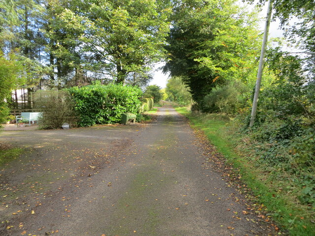
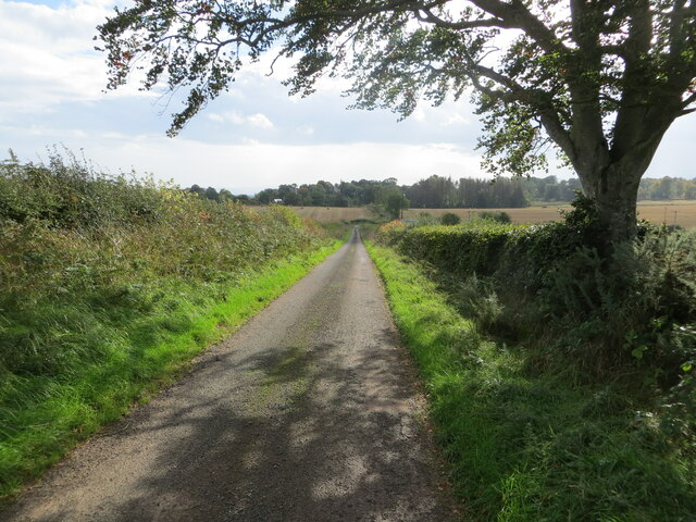
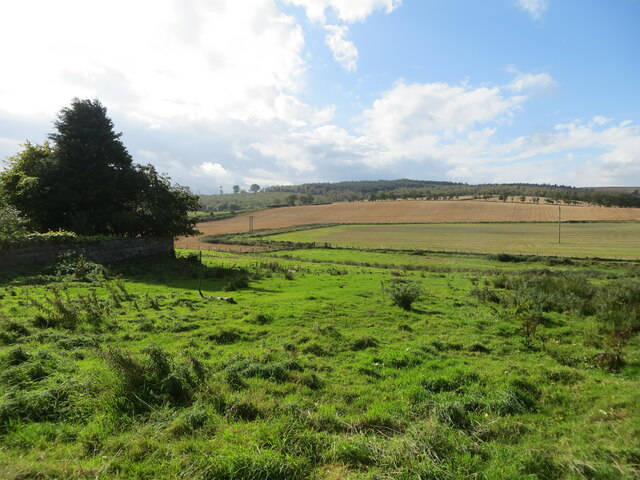
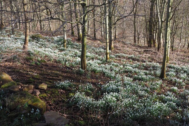
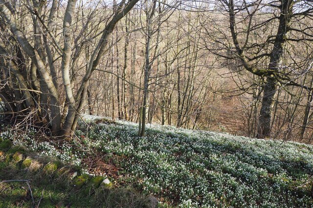
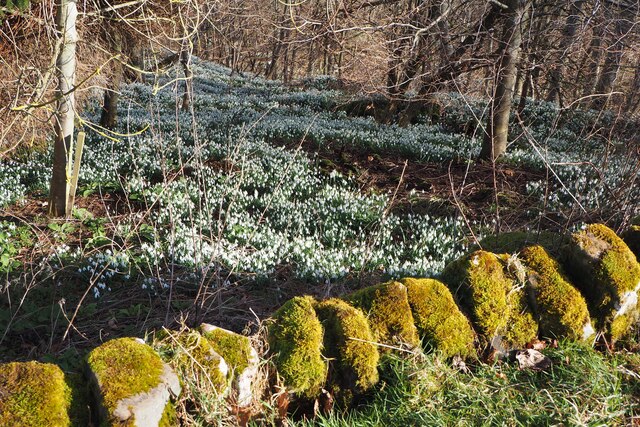
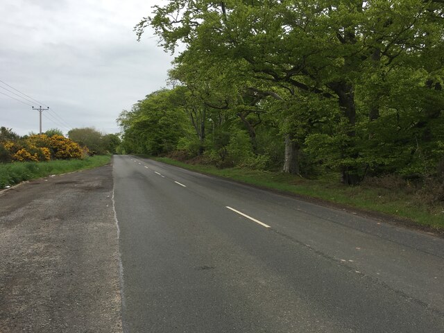
Kennel Strip, located in Berwickshire, is a picturesque wood and forest area that spans over a vast expanse of land. Situated in the Scottish Borders region, the area is renowned for its natural beauty and tranquil atmosphere.
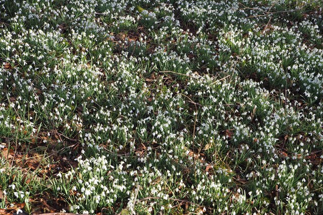
The woodland of Kennel Strip is home to a diverse range of flora and fauna, making it an ideal destination for nature enthusiasts and wildlife lovers. The forest is predominantly composed of a mixture of deciduous and coniferous trees, creating a captivating tapestry of colors throughout the seasons. Visitors can expect to see oak, birch, and pine trees, among others, which provide a habitat for a variety of bird species, small mammals, and insects.
The forest is crisscrossed by a network of well-maintained trails, allowing visitors to explore the area on foot or by bike. These trails offer stunning views of the surrounding countryside, with occasional glimpses of the nearby Cheviot Hills in the distance. Whether it's a leisurely stroll through the woodland or a more challenging hike up one of the hills, there is something for everyone at Kennel Strip.
Additionally, the forest is equipped with picnic areas and benches, providing an opportunity for visitors to relax and enjoy the peaceful ambiance. The area is also popular for birdwatching, photography, and nature study, attracting visitors from near and far.
Overall, Kennel Strip in Berwickshire is a haven for nature lovers, offering a serene escape from the hustle and bustle of everyday life. Its natural beauty, diverse wildlife, and well-maintained trails make it an ideal destination for those seeking to connect with the great outdoors.
If you have any feedback on the listing, please let us know in the comments section below.
Kennel Strip Images
Images are sourced within 2km of 55.733035/-2.4138997 or Grid Reference NT7448. Thanks to Geograph Open Source API. All images are credited.

Kennel Strip is located at Grid Ref: NT7448 (Lat: 55.733035, Lng: -2.4138997)
Unitary Authority: The Scottish Borders
Police Authority: The Lothians and Scottish Borders
What 3 Words
///irritate.duet.grows. Near Duns, Scottish Borders
Nearby Locations
Related Wikis

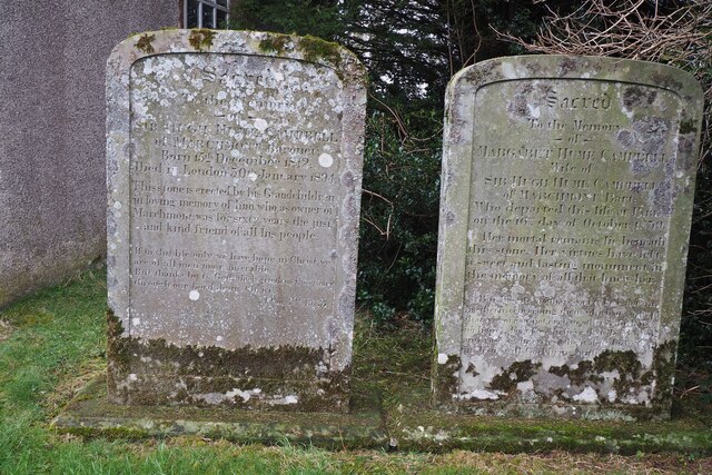
Marchmont House
Marchmont House lies on the east side of the village of Greenlaw, and near to a church in Polwarth in Berwickshire, in the Scottish Borders area of Scotland...

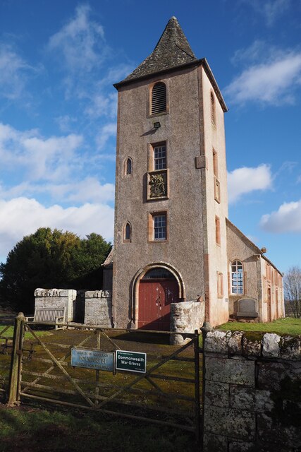
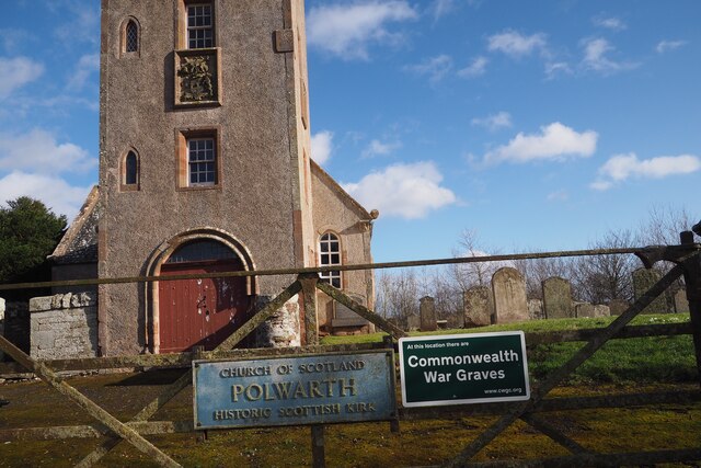
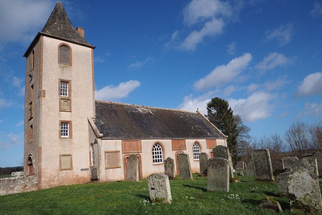
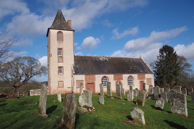
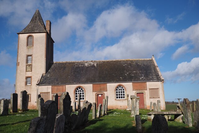
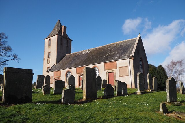
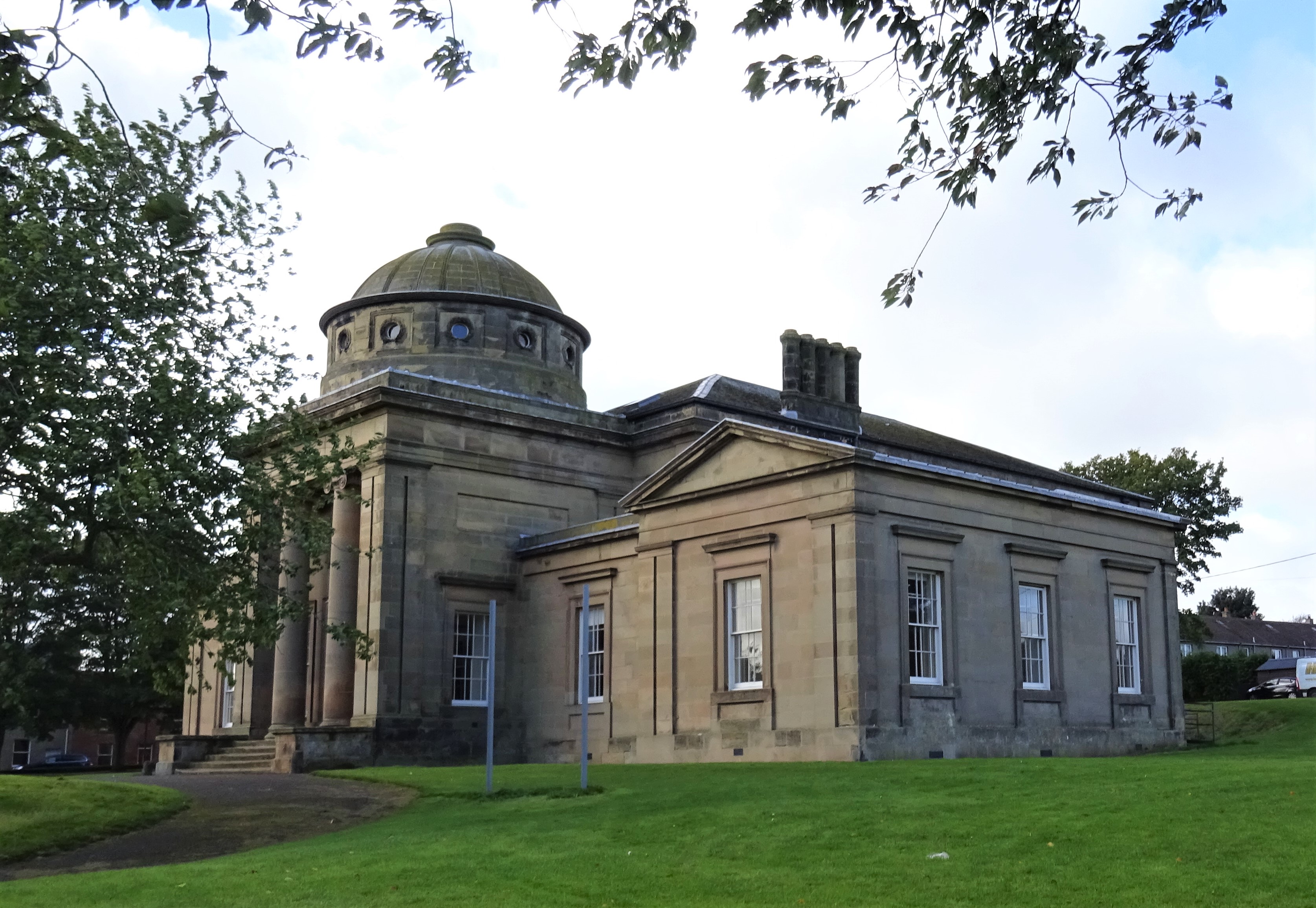
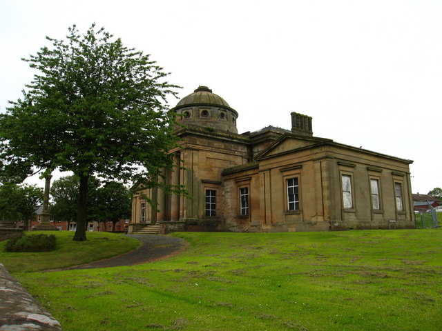
Polwarth Parish Church
Polwarth Parish Church was a member church (Scots: kirk) of the Church of Scotland before closing in 2004. It is situated atop a mound off a minor...

Marchmont railway station
Marchmont railway station served the estate of Marchmont, Scottish Borders, Scotland from 1863 to 1948 on the North British Railway. == History == The...
Polwarth Castle
Polwarth Castle was a castle, located near Polwarth, Scottish Borders in Scotland. == History == Held by the Polwarth family it passed by marriage of Elizabeth...
Polwarth, Scottish Borders
Polwarth (Scots: Polart) is a village and parish in the Scottish Borders area of Scotland. It is located at grid reference NT745502, between Greenlaw and...
Greenlaw Town Hall
Greenlaw Town Hall is a municipal building in The Square, Greenlaw, Scottish Borders, Scotland. The structure, which served as the county headquarters...

Langton Castle
Langton Castle is a now destroyed medieval fortress at Langton, near the burgh of Duns, Berwickshire, Scotland. Little remains of the structure. ��2�...
Greenlaw
Greenlaw is a town and civil parish situated in the foothills of the Lammermuir Hills on Blackadder Water at the junction of the A697 and the A6105 in...
Nearby Amenities
Located within 500m of 55.733035,-2.4138997Have you been to Kennel Strip?
Leave your review of Kennel Strip below (or comments, questions and feedback).