Pond Plantation
Wood, Forest in Roxburghshire
Scotland
Pond Plantation
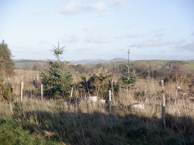
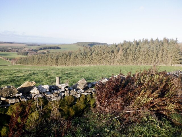
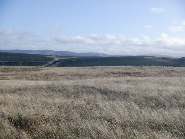
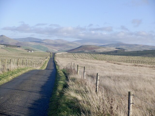
Pond Plantation is a picturesque woodland area located in Roxburghshire, Scotland. Covering an expansive area, it is renowned for its lush greenery, diverse flora, and tranquil atmosphere. The plantation is situated near the small village of Wood, making it easily accessible for both locals and tourists.
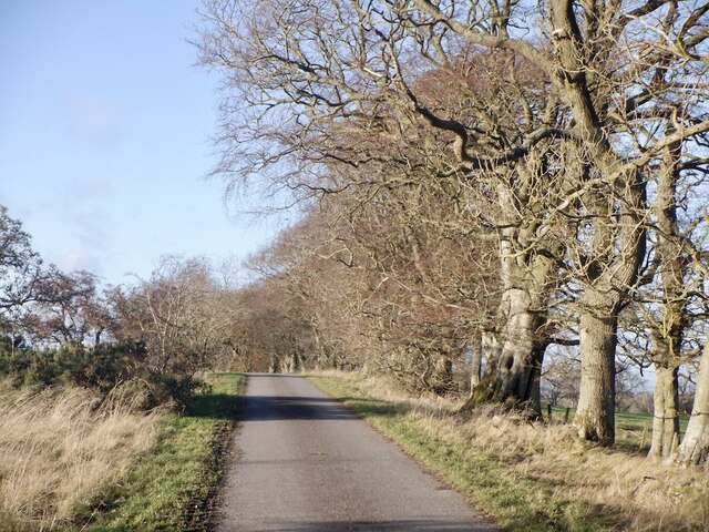
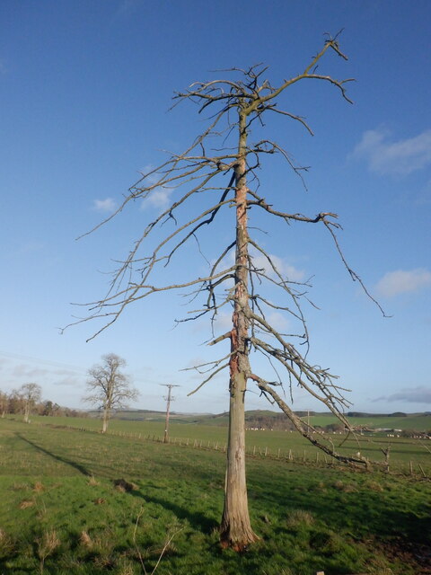
The main feature of Pond Plantation is its stunning pond, which serves as a focal point for the entire area. The pond is surrounded by a variety of trees, including oak, beech, and birch, creating a beautiful and serene environment. The plantation is home to numerous species of plants and flowers, making it a haven for nature lovers and botanists alike.
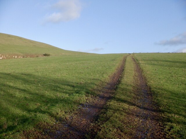
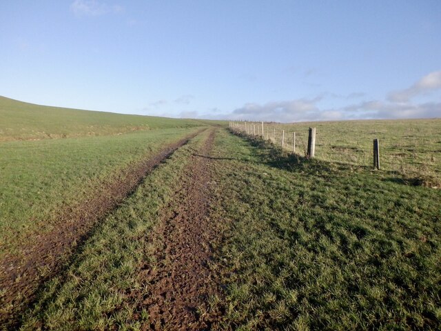
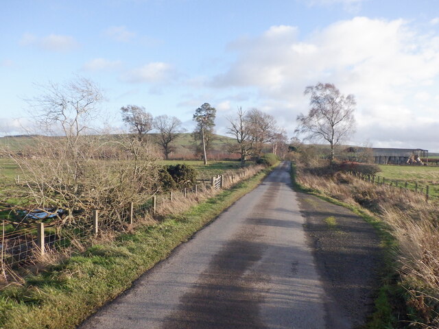
Visitors to Pond Plantation can explore its well-maintained walking trails and enjoy the peaceful ambiance of the forest. The trails wind through the woodland, providing opportunities for leisurely strolls, birdwatching, and photography. The plantation also offers picnic spots and benches, allowing visitors to take a moment to relax and appreciate the natural surroundings.
Throughout the year, Pond Plantation hosts various events and activities, such as guided nature walks and educational programs. These initiatives aim to promote conservation and raise awareness about the importance of preserving the local ecosystem.
Overall, Pond Plantation in Roxburghshire offers a serene and picturesque escape from the hustle and bustle of everyday life. Its beautiful woodland, diverse plant life, and tranquil atmosphere make it a must-visit destination for nature enthusiasts and those seeking a peaceful retreat.
If you have any feedback on the listing, please let us know in the comments section below.
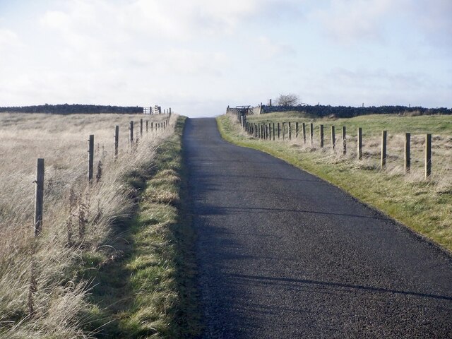
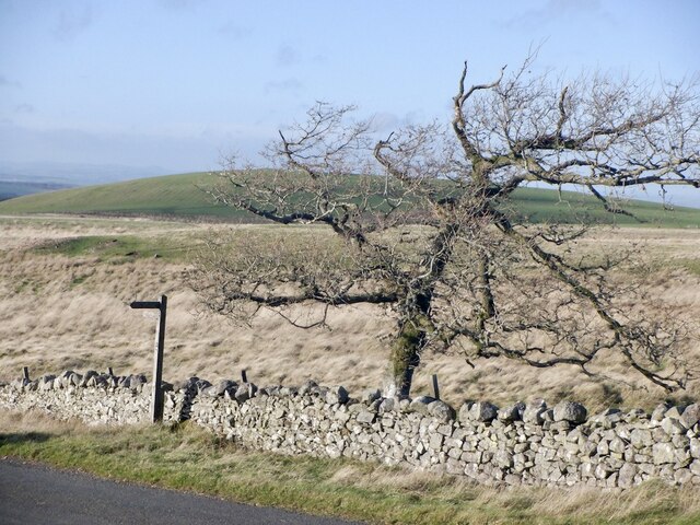
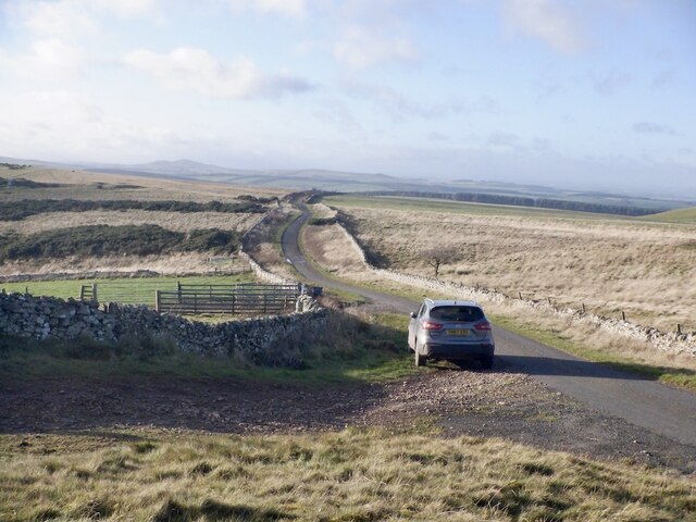
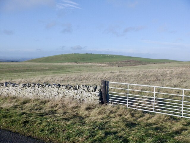
Pond Plantation Images
Images are sourced within 2km of 55.465458/-2.4301962 or Grid Reference NT7219. Thanks to Geograph Open Source API. All images are credited.


Pond Plantation is located at Grid Ref: NT7219 (Lat: 55.465458, Lng: -2.4301962)
Unitary Authority: The Scottish Borders
Police Authority: The Lothians and Scottish Borders
What 3 Words
///tomato.coping.cavalier. Near Jedburgh, Scottish Borders
Nearby Locations
Related Wikis

Oxnam
Oxnam (Scots: Owsenam) is a village near Jedburgh, in Roxburghshire in the Scottish Borders area of Scotland. It is a primarily residential village. The...

Crailinghall
Crailinghall is a village near Oxnam in the Scottish Borders area of Scotland, in the former Roxburghshire. Crailinghall is on the route of the St. Cuthbert...

Cessford, Scottish Borders
Cessford is a hamlet and former barony about a mile south of the B6401 road, in the Scottish Borders area of Scotland. The placename is from Gaelic 'ceis...

Cessford Castle
Cessford Castle is a large ruined mid-15th century L-plan castle near the village of Cessford, midway Jedburgh and Kelso, in the historic county of Roxburghshire...
Nearby Amenities
Located within 500m of 55.465458,-2.4301962Have you been to Pond Plantation?
Leave your review of Pond Plantation below (or comments, questions and feedback).