Brandshill Wood
Wood, Forest in Kincardineshire
Scotland
Brandshill Wood
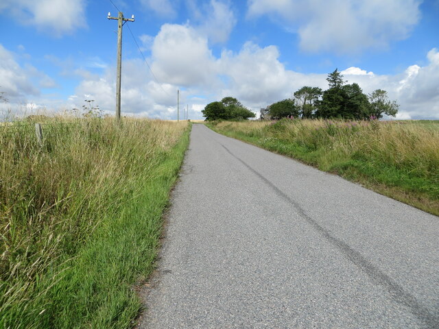
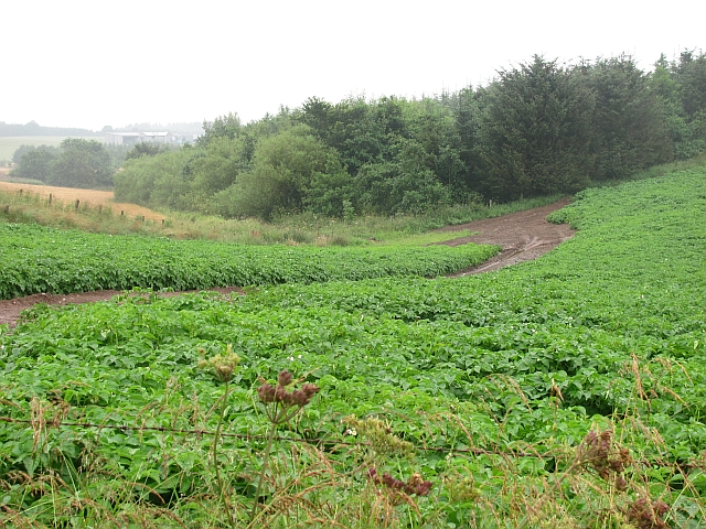
Brandshill Wood is a picturesque forest located in Kincardineshire, Scotland. Covering an area of approximately 50 acres, it is a prominent natural landmark in the region. The wood is situated near the small village of Auchenblae and offers both locals and visitors a tranquil escape from the hustle and bustle of urban life.
The wood is predominantly composed of native tree species, including oak, birch, and pine, which create a diverse and vibrant ecosystem. The dense foliage provides a habitat for a wide variety of wildlife, such as deer, squirrels, and numerous bird species. It is a popular destination for nature enthusiasts and birdwatchers due to its rich biodiversity.
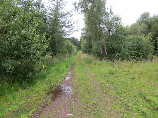
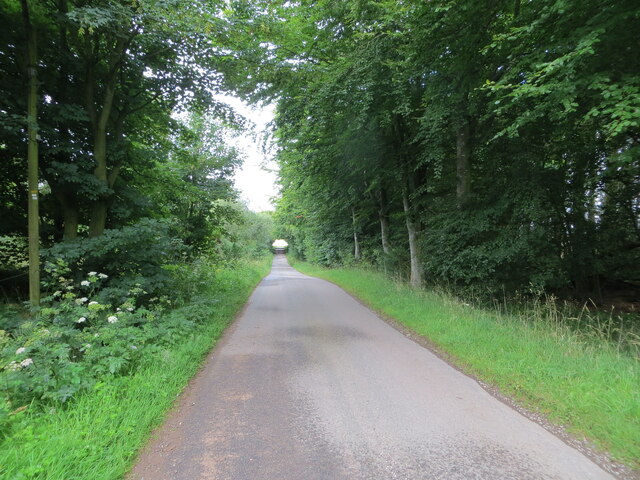
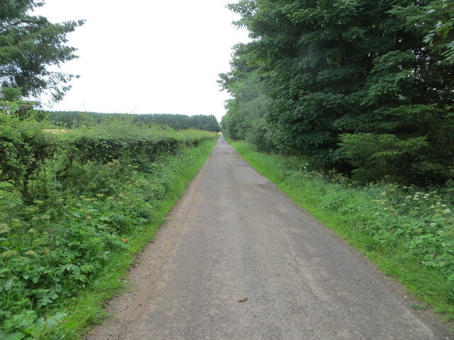
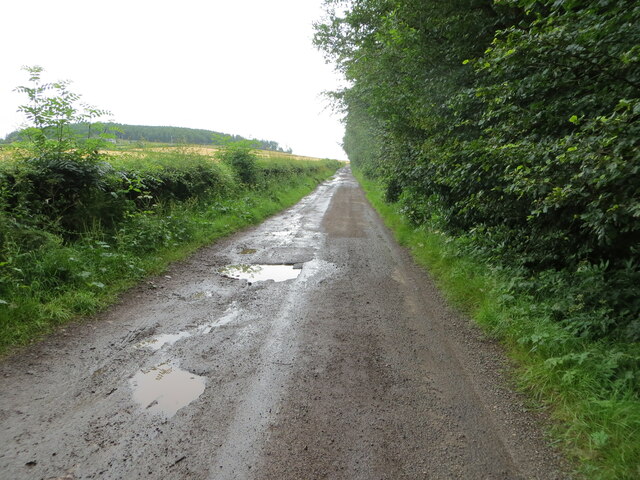
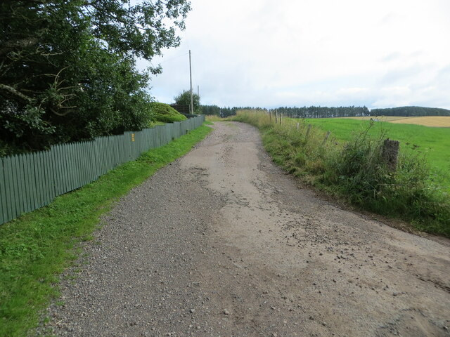
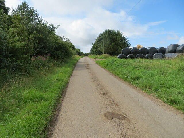
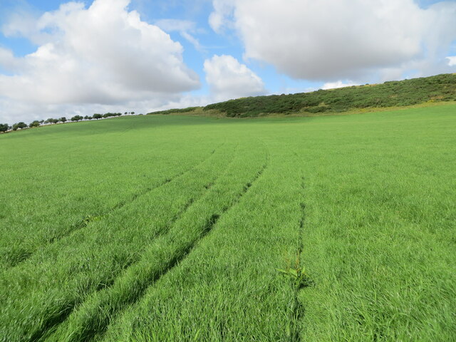
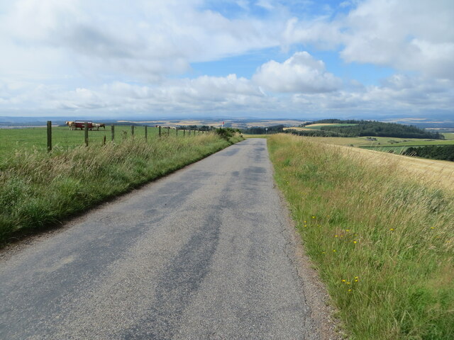
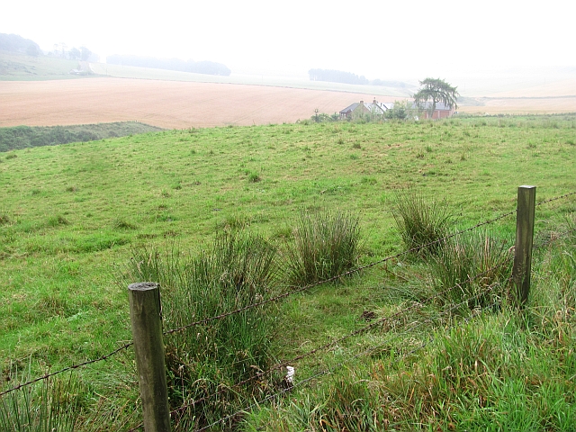
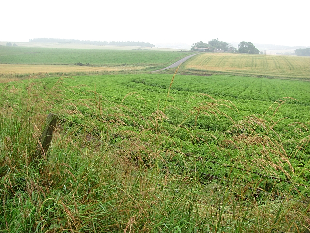
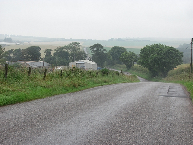
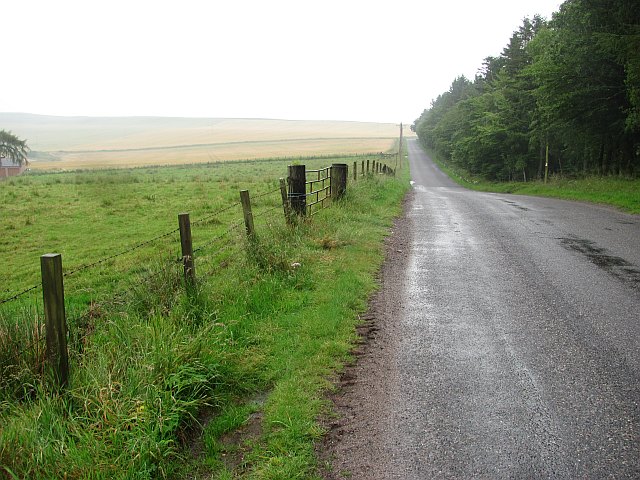
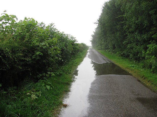
There are several well-maintained walking trails that meander through the wood, allowing visitors to explore its beauty at their own pace. These paths offer stunning views of the surrounding countryside, with occasional glimpses of the nearby North Sea. The wood's elevated location also provides visitors with a panoramic view of the rolling hills and valleys that characterize the region.
Brandshill Wood holds significant historical and cultural value. It is believed to have been used as a hunting ground by ancient Scottish clans, and remnants of old stone structures can still be found within its boundaries. The wood is also home to a small, secluded graveyard dating back several centuries, adding a touch of mystery to its allure.
Overall, Brandshill Wood is a hidden gem in Kincardineshire, offering a peaceful and enchanting escape into nature. Its combination of stunning scenery, diverse wildlife, and historical significance make it a must-visit destination for anyone seeking a connection with the natural beauty of the Scottish countryside.
If you have any feedback on the listing, please let us know in the comments section below.
Brandshill Wood Images
Images are sourced within 2km of 56.797225/-2.4453349 or Grid Reference NO7267. Thanks to Geograph Open Source API. All images are credited.


Brandshill Wood is located at Grid Ref: NO7267 (Lat: 56.797225, Lng: -2.4453349)
Unitary Authority: Aberdeenshire
Police Authority: North East
What 3 Words
///reinforce.paddocks.narrates. Near St Cyrus, Aberdeenshire
Nearby Locations
Related Wikis
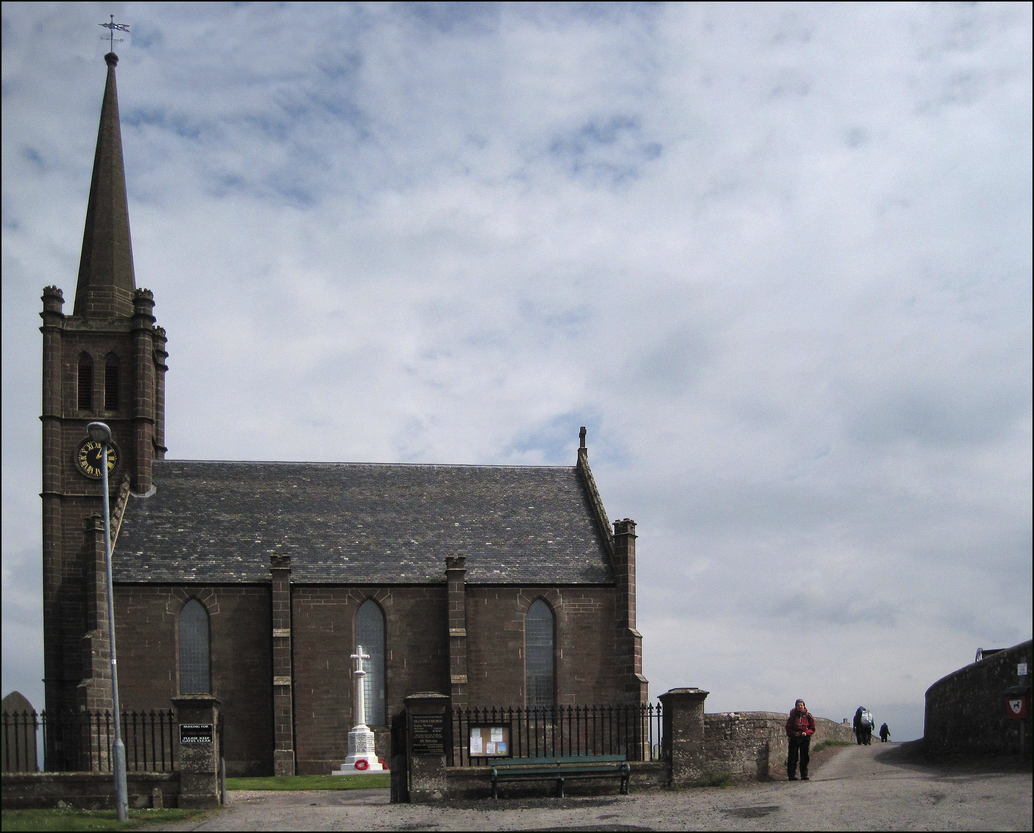
St Cyrus
St Cyrus or Saint Cyrus (Scots: Saunt Ceerus), formerly Ecclesgreig (from Scottish Gaelic: Eaglais Chiric) is a village in the far south of Aberdeenshire...

St Cyrus railway station
St Cyrus railway station served the village of St Cyrus, Aberdeenshire, Scotland from 1865 to 1951. == History == The station was opened on 1 November...

Lauriston Castle, Aberdeenshire
Lauriston Castle stands on a clifftop site near the Aberdeenshire village of St Cyrus and just over a mile inland from the North Sea coast of Scotland...

Lauriston railway station
Lauriston railway station served the village of Bush, Aberdeenshire, Scotland from 1865 to 1966 on the Montrose and Bervie Railway. == History == The station...

Laurencekirk
Laurencekirk (, Scots: Lowrenkirk, Scottish Gaelic: Eaglais Labhrainn), locally known as Lournie, is a small town in the historic county of Kincardineshire...

St Cyrus National Nature Reserve
St Cyrus National Nature Reserve (NNR) is situated between the village of St Cyrus and the North Sea in the far south of the council area of Aberdeenshire...

Marykirk railway station
Marykirk railway station served the village of Marykirk, Kincardineshire, Scotland from 1849 to 1956 on the Aberdeen Railway. == History == The station...

Laurencekirk railway station
Laurencekirk railway station is a railway station serving the communities of Laurencekirk and The Mearns in Aberdeenshire, Scotland. The station was reopened...
Nearby Amenities
Located within 500m of 56.797225,-2.4453349Have you been to Brandshill Wood?
Leave your review of Brandshill Wood below (or comments, questions and feedback).