Crook Knowes
Hill, Mountain in Roxburghshire
Scotland
Crook Knowes
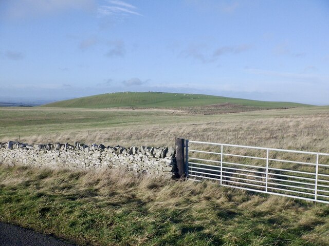
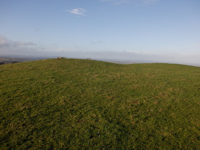
Crook Knowes is a prominent hill located in the county of Roxburghshire, Scotland. Situated in the southern region of the country, Crook Knowes is part of the scenic Scottish Borders region. The hill stands at an elevation of approximately 382 meters (1,253 feet), making it a notable landmark in the area.
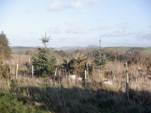
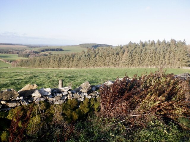
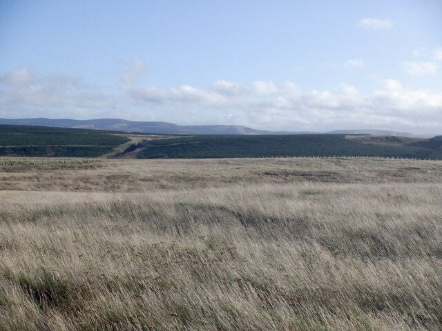
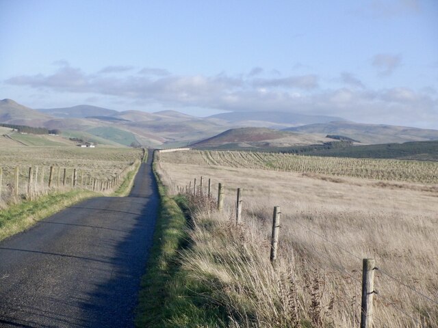
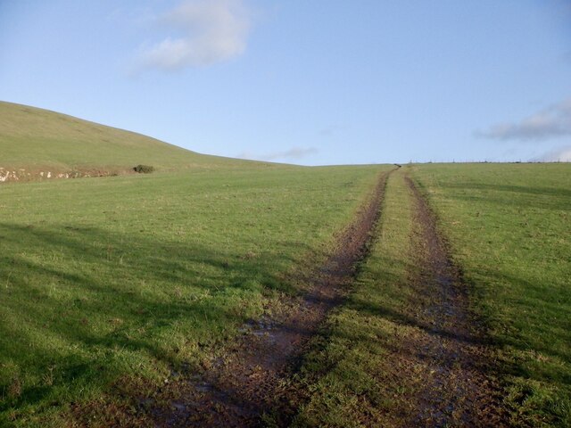
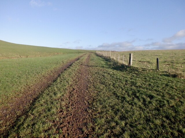
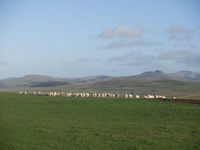
The terrain of Crook Knowes is characterized by gentle slopes covered with a mixture of grasses and heather, with scattered patches of woodland dotting its lower slopes. The hill offers stunning panoramic views of the surrounding countryside, including the rolling hills and valleys that make up the picturesque landscape of Roxburghshire. On clear days, it is possible to see as far as the Cheviot Hills, located on the border between England and Scotland.
Crook Knowes is a popular destination for outdoor enthusiasts, offering various recreational activities such as hiking and nature walks. There are several well-marked trails that lead to the summit of the hill, providing visitors with opportunities to explore the diverse flora and fauna of the area. The hill is also home to a variety of bird species, making it an ideal spot for birdwatching.
In addition to its natural beauty, Crook Knowes also holds historical significance. The hill is part of the ancient landscape of Roxburghshire, an area rich in historical sites and ruins. It is believed that Crook Knowes was once used as a lookout point during the Roman era, providing a strategic vantage point for monitoring the surrounding countryside.
Overall, Crook Knowes is a captivating hill in Roxburghshire, offering breathtaking views, outdoor activities, and a glimpse into the region's rich history.
If you have any feedback on the listing, please let us know in the comments section below.
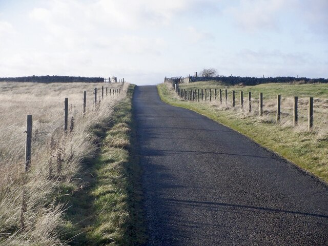
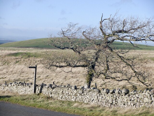
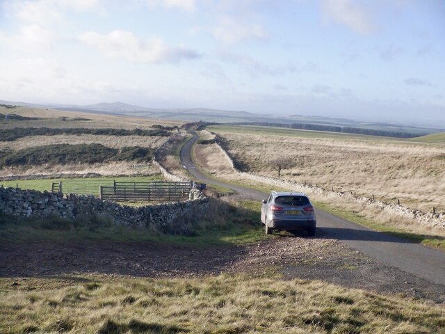
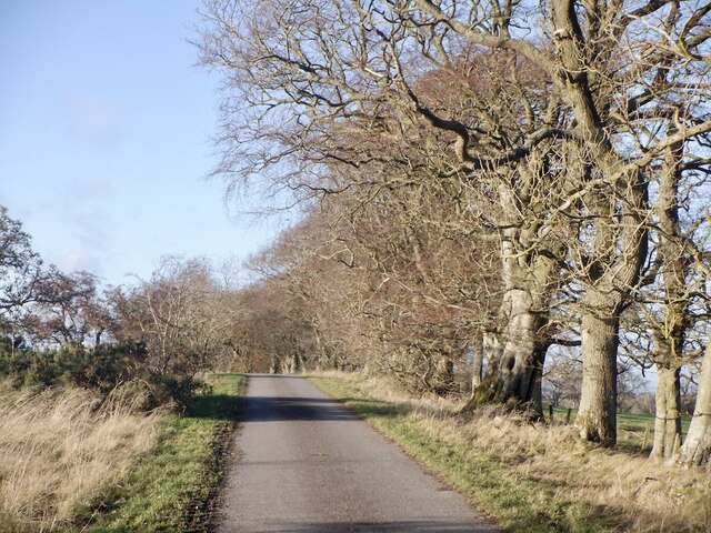
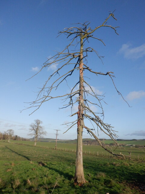
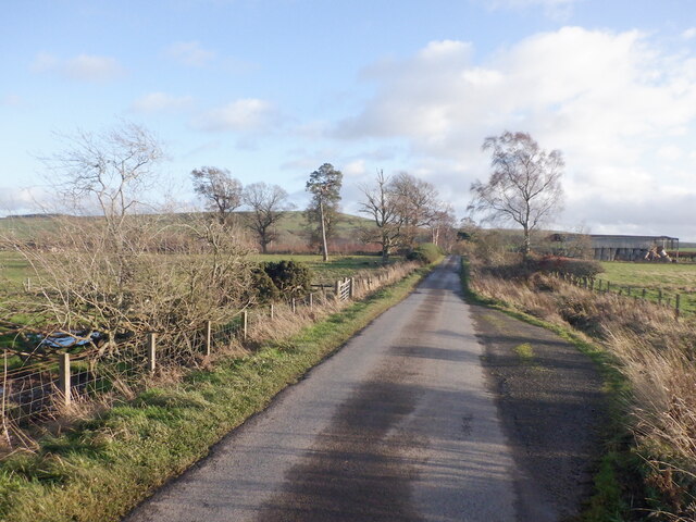
Crook Knowes Images
Images are sourced within 2km of 55.465396/-2.4350985 or Grid Reference NT7219. Thanks to Geograph Open Source API. All images are credited.


Crook Knowes is located at Grid Ref: NT7219 (Lat: 55.465396, Lng: -2.4350985)
Unitary Authority: The Scottish Borders
Police Authority: The Lothians and Scottish Borders
What 3 Words
///smudges.discloses.pills. Near Jedburgh, Scottish Borders
Nearby Locations
Related Wikis

Oxnam
Oxnam (Scots: Owsenam) is a village near Jedburgh, in Roxburghshire in the Scottish Borders area of Scotland. It is a primarily residential village. The...

Crailinghall
Crailinghall is a village near Oxnam in the Scottish Borders area of Scotland, in the former Roxburghshire. Crailinghall is on the route of the St. Cuthbert...

Cessford, Scottish Borders
Cessford is a hamlet and former barony about a mile south of the B6401 road, in the Scottish Borders area of Scotland. The placename is from Gaelic 'ceis...

Cessford Castle
Cessford Castle is a large ruined mid-15th century L-plan castle near the village of Cessford, midway Jedburgh and Kelso, in the historic county of Roxburghshire...
Have you been to Crook Knowes?
Leave your review of Crook Knowes below (or comments, questions and feedback).