Duncan's-dub Plantation

Wood, Forest in Roxburghshire

Scotland

Duncan's-dub Plantation

Strip wood, Rennieston
Strip wood, Rennieston Credit: Richard Webb

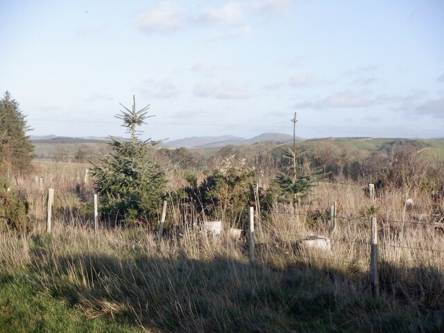
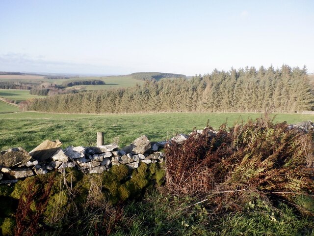
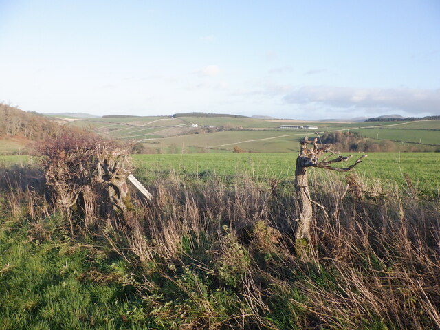
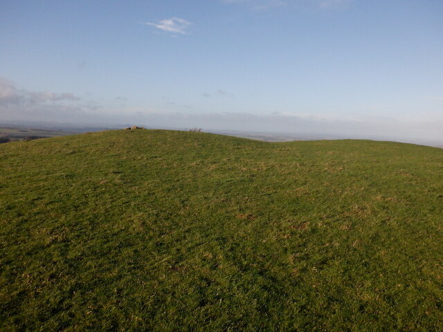
Duncan's-dub Plantation is a vast woodland area located in the scenic region of Roxburghshire, Scotland. Spanning over several acres, the plantation is renowned for its dense and diverse forest cover. It is situated near the picturesque village of Wood, making it easily accessible to nature enthusiasts and visitors alike.

The plantation boasts a rich history, with its origins dating back several centuries. It was initially established as a timber resource to meet the growing demands of the local industries. Over time, the plantation has evolved into a thriving ecosystem, housing a wide variety of plant and animal species.

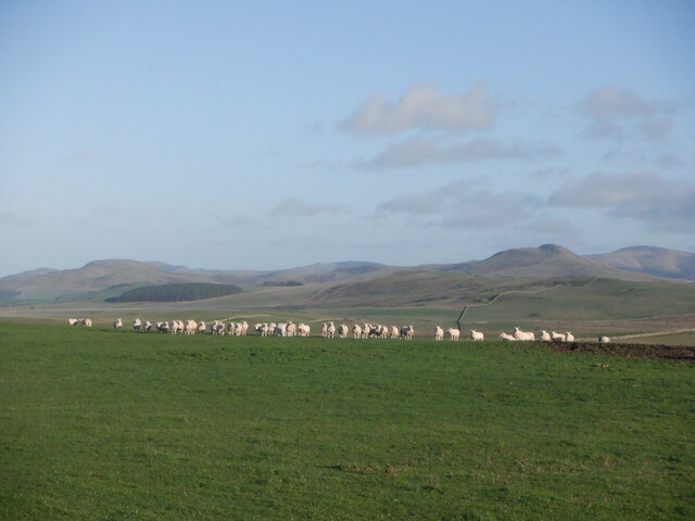
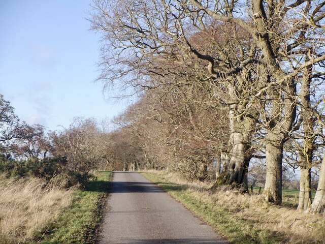
The woodland is predominantly composed of native tree species, including oak, beech, and birch. These tall, majestic trees provide shelter and food for a range of wildlife, contributing to the plantation's ecological significance. The forest floor is adorned with a vibrant undergrowth of ferns, mosses, and wildflowers, creating a visually captivating landscape.

Duncan's-dub Plantation offers numerous recreational opportunities for visitors. There are well-maintained walking trails, allowing visitors to explore the plantation at their own pace. The tranquil atmosphere and the soothing sounds of nature make it an ideal destination for those seeking solace and relaxation. Wildlife enthusiasts can also indulge in bird watching, as the forest is home to various bird species, including woodpeckers, owls, and thrushes.

Overall, Duncan's-dub Plantation in Roxburghshire is a haven for nature lovers, offering a serene escape from the hustle and bustle of everyday life. Its breathtaking beauty and diverse ecosystem make it an attraction worth exploring for anyone seeking to connect with nature.

If you have any feedback on the listing, please let us know in the comments section below.

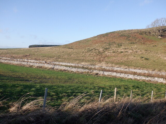
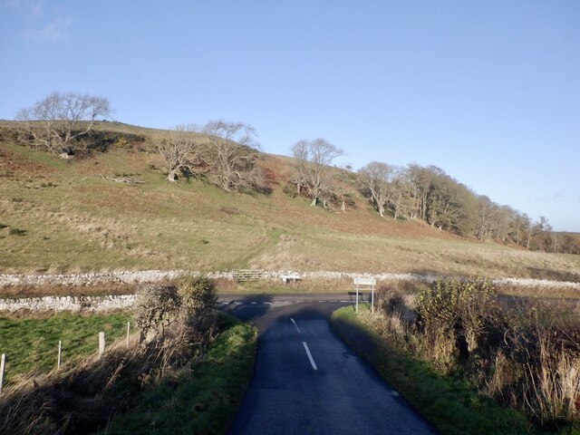
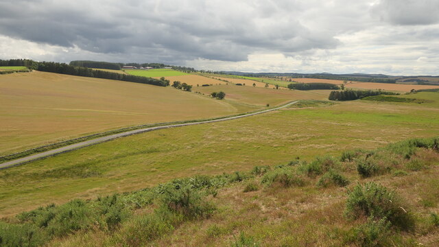
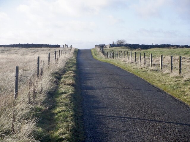
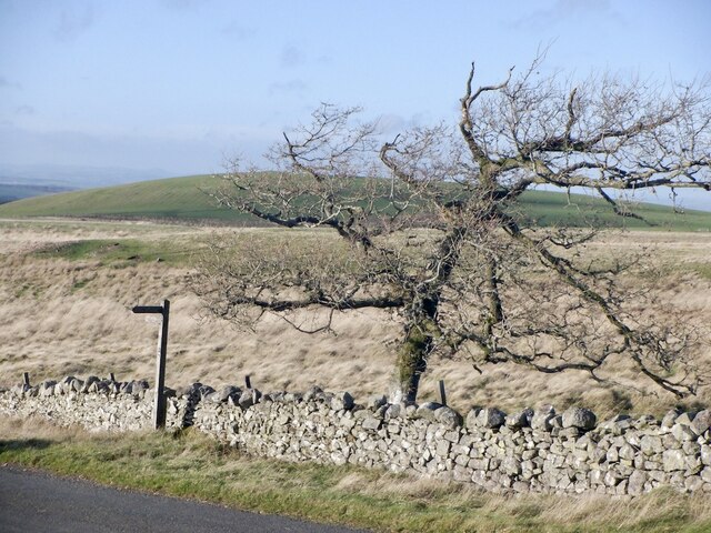
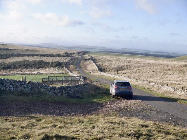
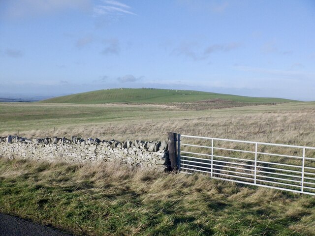
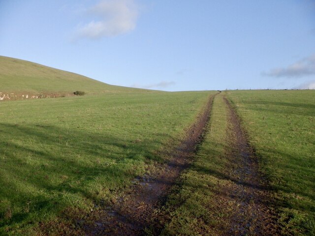
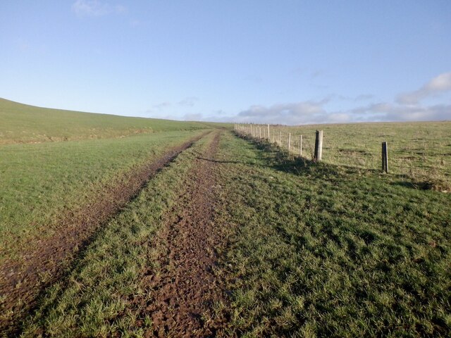
Duncan's-dub Plantation Images

Images are sourced within 2km of 55.470262/-2.4410839 or Grid Reference NT7219. Thanks to Geograph Open Source API. All images are credited.

Strip wood, Rennieston
Rennieston A roadside dyke.
Rennieston
A roadside dyke.
Remains of a hedge, Samieston
Road near Samieston
Road near Samieston
North side of Bank Hill
Samieston to Crailinghall road View from the slopes of Bank Hill
Samieston to Crailinghall road
View from the slopes of Bank Hill
Ruin, Bank Hill A stone rectangle and other earthworks shown by LIDAR on the south side of the hill. Marked as a "settlement" by the Ordnance Survey and not fortified.
Ruin, Bank Hill
A stone rectangle and other earthworks shown by LIDAR on the south side of the hill. Marked as a "settlement" by the Ordnance Survey and not fortified.
Drought affected slope, Bank Hill Taken in a prolonged spell of wet weather, but still brown after April - June 2023 when there was little rain.
Drought affected slope, Bank Hill
Taken in a prolonged spell of wet weather, but still brown after April - June 2023 when there was little rain.
Field access, Wilyrigg Strips Harvest time for the winter barley.
Field access, Wilyrigg Strips
Harvest time for the winter barley.
Road over Whitton Edge Nearing the summit of the road and Dere Street.
Road over Whitton Edge
Nearing the summit of the road and Dere Street.
Signpost on Dere Street Dere Street reaches this point as a tarred road from the west and continues as an unsurfaced ridge road southwards to Pennymuir.
Signpost on Dere Street
Dere Street reaches this point as a tarred road from the west and continues as an unsurfaced ridge road southwards to Pennymuir.
Dere Street Tarred to here where the Roman road turns southwards as a track to Pennymuir.
Dere Street
Tarred to here where the Roman road turns southwards as a track to Pennymuir.
View towards Shibden Hill From Dere Street
View towards Shibden Hill
From Dere Street
Farm track, Shibden Hill An old route to Morebattle.
Farm track, Shibden Hill
An old route to Morebattle.
Farm track, Shibden Hill An old route to Morebattle - the plantation that was here on my previous visit has since been felled and replanted.
Farm track, Shibden Hill
An old route to Morebattle - the plantation that was here on my previous visit has since been felled and replanted.
Summit, Shibden Hill There are two low grassed over cairns at the summit. The field was grazed by sheep.
Summit, Shibden Hill
There are two low grassed over cairns at the summit. The field was grazed by sheep.
Sheep, Shibden Hill Taking a keen interest - not running away from a potential food source. There was a Beltex tup amongst them.
Sheep, Shibden Hill
Taking a keen interest - not running away from a potential food source. There was a Beltex tup amongst them.
Dere Street
Dere Street
Show me another place!

Duncan's-dub Plantation is located at Grid Ref: NT7219 (Lat: 55.470262, Lng: -2.4410839)

Unitary Authority: The Scottish Borders

Police Authority: The Lothians and Scottish Borders

What 3 Words

///comment.cavalier.stems. Near Jedburgh, Scottish Borders

Related Wikis

Oxnam

Oxnam (Scots: Owsenam) is a village near Jedburgh, in Roxburghshire in the Scottish Borders area of Scotland. It is a primarily residential village. The...

Crailinghall

Crailinghall is a village near Oxnam in the Scottish Borders area of Scotland, in the former Roxburghshire. Crailinghall is on the route of the St. Cuthbert...

Cessford, Scottish Borders

Cessford is a hamlet and former barony about a mile south of the B6401 road, in the Scottish Borders area of Scotland. The placename is from Gaelic 'ceis...

Cessford Castle

Cessford Castle is a large ruined mid-15th century L-plan castle near the village of Cessford, midway Jedburgh and Kelso, in the historic county of Roxburghshire...

Nearby Amenities

Located within 500m of 55.470262,-2.4410839
Power: pole
Lat/Long: 55.4716896/-2.4480902
Power: pole
Lat/Long: 55.4719319/-2.446625
Power: pole
Lat/Long: 55.4721739/-2.4451581
Power: pole
Lat/Long: 55.4724323/-2.4436507
Power: pole
Lat/Long: 55.4726406/-2.4423981
Power: pole
Lat/Long: 55.4728572/-2.4411361
Power: pole
Lat/Long: 55.4730473/-2.4400029
Power: pole
Lat/Long: 55.4733931/-2.4385652
Power: pole
Lat/Long: 55.4737443/-2.4371141
Power: pole
Lat/Long: 55.4697484/-2.4483219
Power: pole
Lat/Long: 55.4687179/-2.4473821
Power: pole
Lat/Long: 55.467556/-2.4463366
Power: pole
Lat/Long: 55.466543/-2.4454302
Power: pole
Lat/Long: 55.4719801/-2.4482575
The data included in this document is from www.openstreetmap.org. The data is made available under ODbL.

Have you been to Duncan's-dub Plantation?

Leave your review of Duncan's-dub Plantation below (or comments, questions and feedback).