Barmekin Hill

Hill, Mountain in Aberdeenshire

Scotland

Barmekin Hill

Minor road at Marionburgh Looking eastward.
Minor road at Marionburgh Credit: Peter Wood

Barmekin Hill is a prominent hill located in Aberdeenshire, Scotland. Situated approximately 8 miles southwest of the city of Aberdeen, it is a notable landmark in the region. The hill stands at an elevation of around 184 meters (604 feet) above sea level, offering panoramic views of the surrounding countryside.

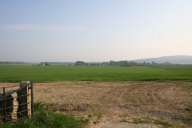
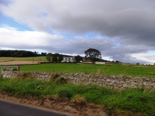
Barmekin Hill is characterized by its gently sloping terrain and is covered in green grass and heather, which adds to its scenic beauty. The hill is accessible via various footpaths and trails, making it a popular destination for hikers and nature enthusiasts.

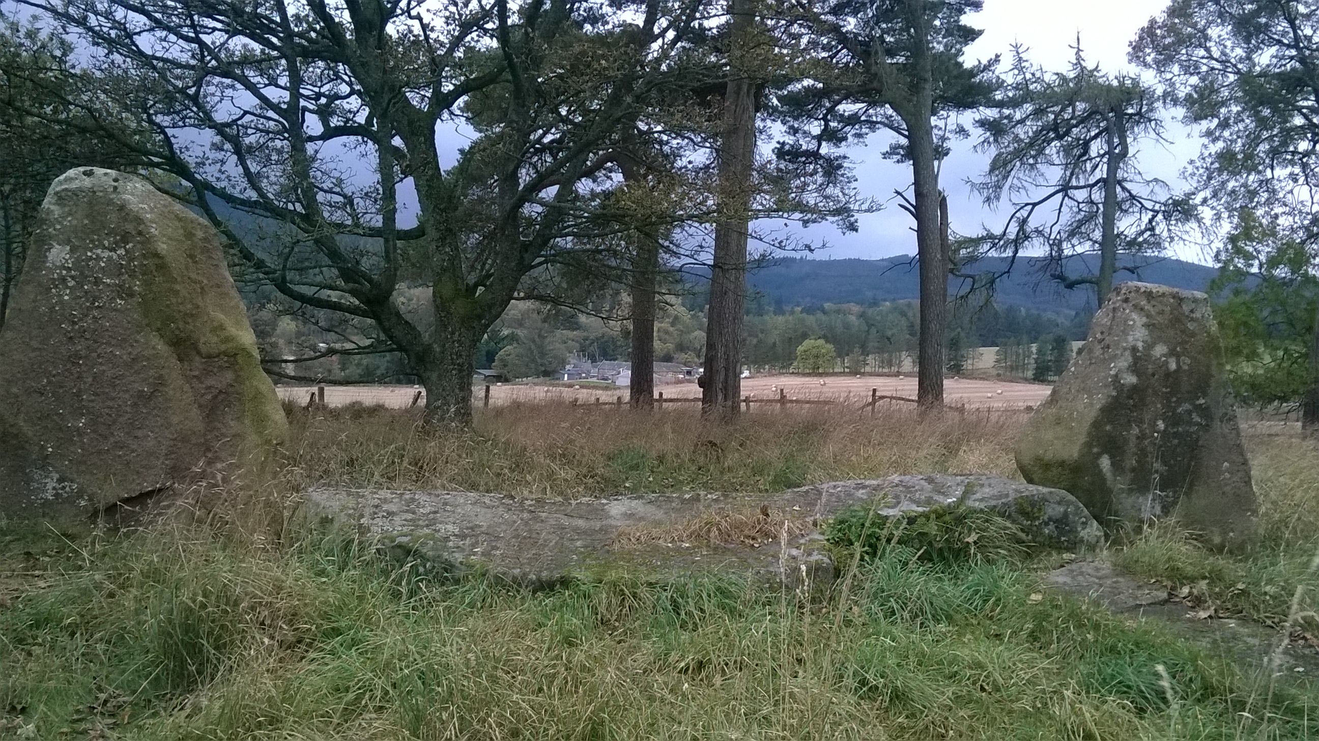
One of the notable features of Barmekin Hill is the presence of an Iron Age fort on its summit. This ancient fortification, known as the Barmekin of Echt, consists of a series of concentric earthworks and ditches. The fort provides insights into the region's historical significance and attracts archaeologists and history buffs.

Additionally, the hill is home to a diverse range of flora and fauna, including various bird species and wildflowers. Visitors often spot red grouse, kestrels, and other birds of prey while exploring the hill's surroundings.

Overall, Barmekin Hill offers a combination of natural beauty, historical significance, and recreational opportunities. Its accessibility, stunning views, and cultural heritage make it a must-visit destination for both locals and tourists exploring Aberdeenshire.

If you have any feedback on the listing, please let us know in the comments section below.

Barmekin Hill Images

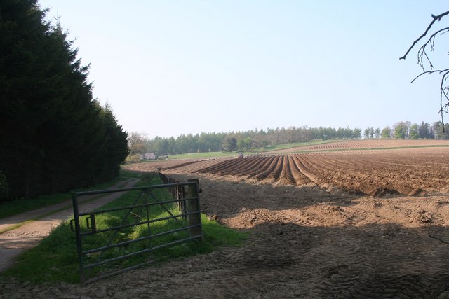
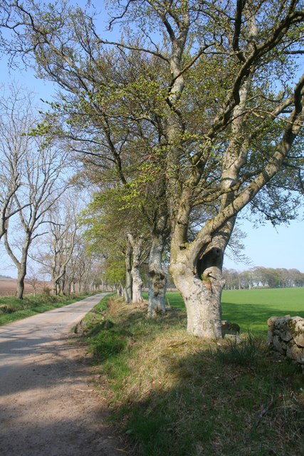
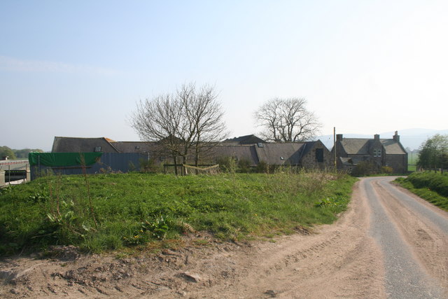
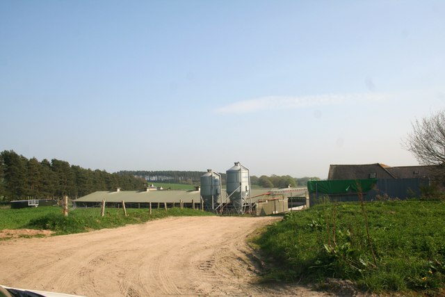
Images are sourced within 2km of 57.154217/-2.4548416 or Grid Reference NJ7207. Thanks to Geograph Open Source API. All images are credited.

Minor road at Marionburgh Looking eastward.
Minor road at Marionburgh
Looking eastward.
Minor road approaching Bents Looking north-westward.
Minor road approaching Bents
Looking north-westward.
Tree-lined minor road near to Hillhead Looking northward.
Tree-lined minor road near to Hillhead
Looking northward.
Track that gives access to North Tilldaff Looking eastward.
Track that gives access to North Tilldaff
Looking eastward.
Minor road near to Uppermuir Looking northward.
Minor road near to Uppermuir
Looking northward.
Track that gives access to Rowan House Looking eastward.
Track that gives access to Rowan House
Looking eastward.
Culfosie Fields Fields by Culfosie tilled and planted presumably with potatoes a tree belt shelters the farm road on the left.
Culfosie Fields
Fields by Culfosie tilled and planted presumably with potatoes a tree belt shelters the farm road on the left.
Roadside Trees by Culfosie The tree lined road by Easter Culfosie.Culfosie means nok of rest ,apt on this day at least.
Roadside Trees by Culfosie
The tree lined road by Easter Culfosie.Culfosie means nok of rest ,apt on this day at least.
North Mains The North Mains of Echt.
North Mains
The North Mains of Echt.
North Mains Silos Silos and farm sheds at the North Mains of Echt.
North Mains Silos
Silos and farm sheds at the North Mains of Echt.
Echt Recycling Farm manure ready for recycling an age old process at Echt with the Barmekin Hill just visible behind.
Echt Recycling
Farm manure ready for recycling an age old process at Echt with the Barmekin Hill just visible behind.
Field by Echt A field by the North Mains of Echt looking down on the Nether Mains and Echt village.
Field by Echt
A field by the North Mains of Echt looking down on the Nether Mains and Echt village.
Old Tollhouse, Echt By B9119; west of village.
Old Tollhouse, Echt
By B9119; west of village.
Greentree Cottage By B9119; west of Echt.
Greentree Cottage
By B9119; west of Echt.
Gated driveway to Greentree Lodge Off B9119, west of Echt.
Gated driveway to Greentree Lodge
Off B9119, west of Echt.
Heading west from Echt On B9119 between Barnyards and Wet Mains. Hill of Fare ahead.
Heading west from Echt
On B9119 between Barnyards and Wet Mains. Hill of Fare ahead.
Old Echt farmstead Access off B9119, west of Echt village.
Old Echt farmstead
Access off B9119, west of Echt village.
View to Old Echt  from B9119 On site of former Echt House.
View to Old Echt from B9119
On site of former Echt House.
Show me another place!

Barmekin Hill is located at Grid Ref: NJ7207 (Lat: 57.154217, Lng: -2.4548416)

Unitary Authority: Aberdeenshire

Police Authority: North East

What 3 Words

///haystack.takes.credited. Near Sauchen, Aberdeenshire

Related Wikis

Nearby Amenities

Located within 500m of 57.154217,-2.4548416
Barmekin Hill
Ele: 274
Natural: peak
Lat/Long: 57.1543481/-2.454322
Power: pole
Lat/Long: 57.153021/-2.4627906
The data included in this document is from www.openstreetmap.org. The data is made available under ODbL.

Have you been to Barmekin Hill?

Leave your review of Barmekin Hill below (or comments, questions and feedback).