Burn Wood
Wood, Forest in Kincardineshire
Scotland
Burn Wood
Burn Wood is a picturesque forest located in Kincardineshire, Scotland. Spanning an area of approximately 200 acres, it is a haven for nature enthusiasts and provides a tranquil escape from the hustle and bustle of everyday life.
The wood is predominantly composed of native tree species like oak, birch, and ash, creating a diverse and vibrant ecosystem. The dense canopy provides shade during the summer months and a burst of color during the autumn, attracting visitors from far and wide to witness nature's spectacle.
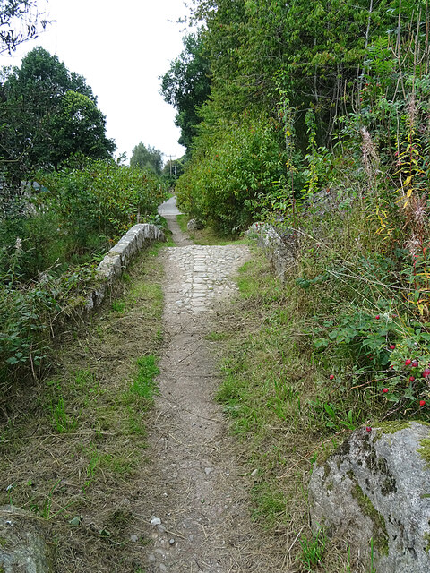
Walking trails wind their way through the wood, offering visitors the opportunity to explore the natural beauty at their own pace. The trails are well-maintained and suitable for people of all ages and fitness levels, making it a popular destination for families and outdoor enthusiasts alike. Along the trails, there are informative signposts that provide interesting facts about the flora and fauna found in the area.
Wildlife thrives within Burn Wood, with many species calling it home. Visitors may encounter red squirrels, roe deer, and a wide variety of bird species, including woodpeckers and owls. The forest also boasts a rich diversity of plant life, with wildflowers and ferns adorning the forest floor.
For those seeking a more immersive experience, there are designated camping areas within the wood, allowing visitors to spend the night surrounded by nature's tranquility. Campers can enjoy the crackling of a campfire and the peaceful sounds of the forest as they rest under a starlit sky.
Overall, Burn Wood in Kincardineshire offers a sanctuary of natural beauty, providing an ideal setting for relaxation, exploration, and appreciation of Scotland's stunning landscapes.
If you have any feedback on the listing, please let us know in the comments section below.
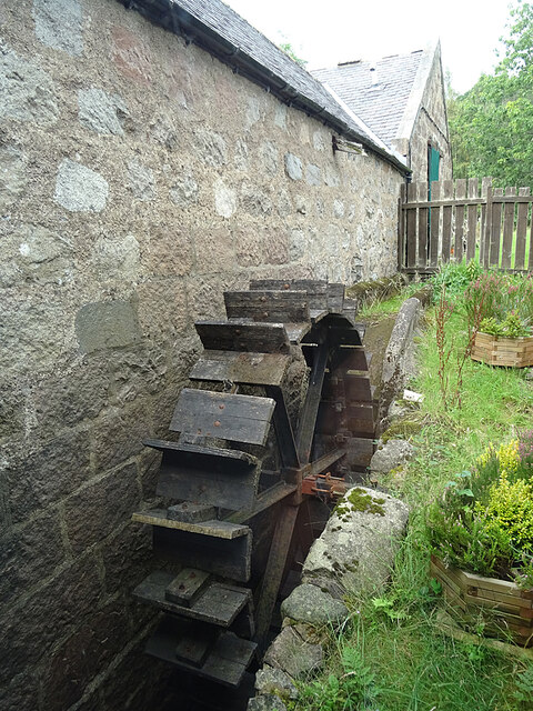
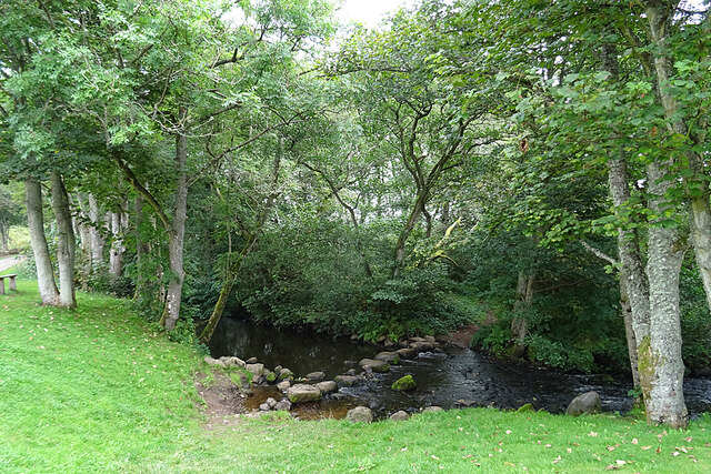
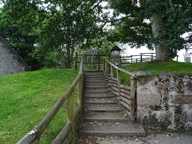
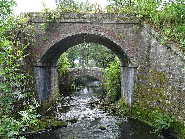
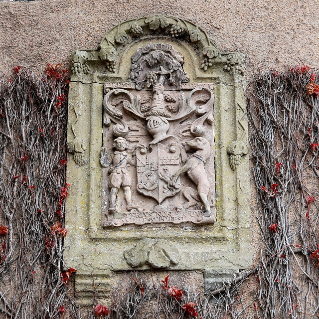
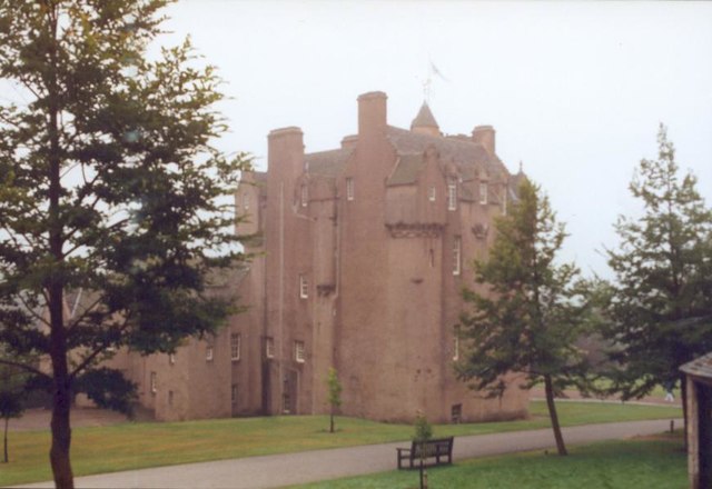
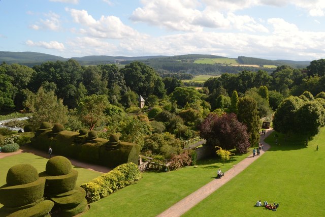
Burn Wood Images
Images are sourced within 2km of 57.046365/-2.4523682 or Grid Reference NO7295. Thanks to Geograph Open Source API. All images are credited.


Burn Wood is located at Grid Ref: NO7295 (Lat: 57.046365, Lng: -2.4523682)
Unitary Authority: Aberdeenshire
Police Authority: North East
What 3 Words
///neon.utter.divider. Near Banchory, Aberdeenshire
Nearby Locations
Related Wikis

Tilquhillie Castle
Tilquhillie Castle is a castle near Banchory in Aberdeenshire, Scotland. A Category A listed building, the castle formally formed part of the lands of...

Milton of Crathes railway station
Milton of Crathes railway station is located at Milton of Crathes, three miles east of Banchory, Royal Deeside, Aberdeenshire, Scotland, United Kingdom...

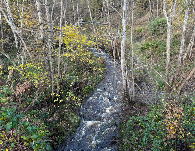
Coy Burn
Coy Burn is a stream that rises in the hills north of Banchory in Aberdeenshire, Scotland. Coy Burn discharges to the River Dee at Milton of Crathes....

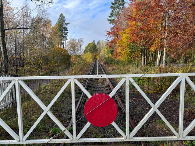
Royal Deeside Railway
The Royal Deeside Railway is a Scottish heritage railway located at Milton of Crathes railway station on a part of the original Deeside Railway. ��2�...
Nearby Amenities
Located within 500m of 57.046365,-2.4523682Have you been to Burn Wood?
Leave your review of Burn Wood below (or comments, questions and feedback).