Pig Hill Wood
Wood, Forest in Kincardineshire
Scotland
Pig Hill Wood
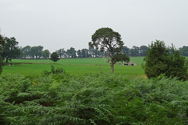
Pig Hill Wood is a picturesque forest located in Kincardineshire, Scotland. Spread across a vast area, it is known for its lush greenery, diverse wildlife, and tranquil atmosphere. The wood is nestled at the foot of Pig Hill, offering breathtaking views of the surrounding landscape.
Covered in a dense canopy of trees, Pig Hill Wood is primarily composed of native species such as oak, beech, and birch. These trees form a thick undergrowth that provides a rich habitat for a variety of flora and fauna. Walking through the wood, visitors can witness a vibrant display of wildflowers, including bluebells, primroses, and wood anemones, during the spring season.
The forest is home to a wide range of wildlife, making it a haven for nature enthusiasts and birdwatchers. Numerous bird species can be spotted here, including woodpeckers, owls, and various migratory birds. Additionally, the wood is inhabited by mammals such as deer, foxes, and badgers. Lucky visitors may even catch a glimpse of these elusive creatures during their exploration.
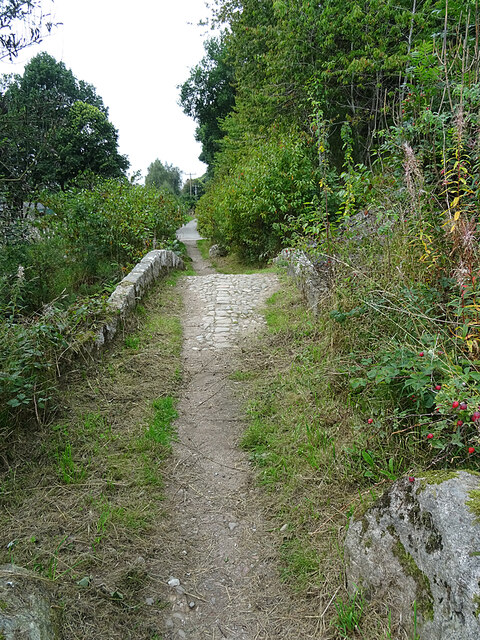
Pig Hill Wood offers several walking trails, allowing visitors to explore its beauty at their own pace. These trails wind through the forest, offering peaceful and serene surroundings for a leisurely stroll or a more adventurous hike. The wood is also equipped with picnic areas, making it an ideal spot for a family outing or a peaceful lunch amidst nature.
Overall, Pig Hill Wood is a captivating destination for nature lovers, providing a sanctuary where one can immerse themselves in the beauty of Scotland's countryside.
If you have any feedback on the listing, please let us know in the comments section below.
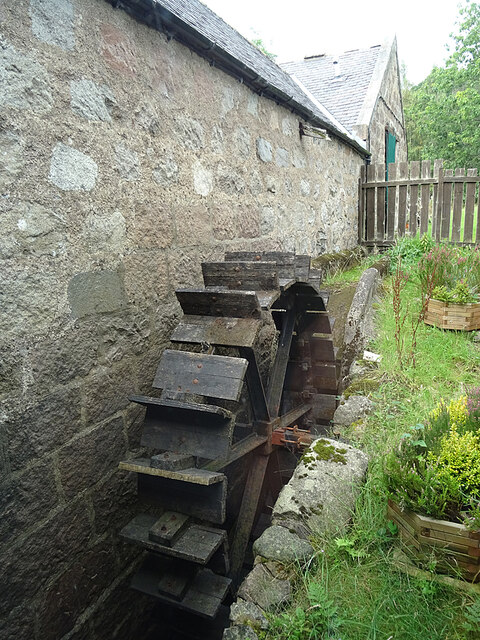
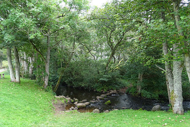
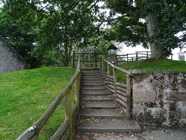
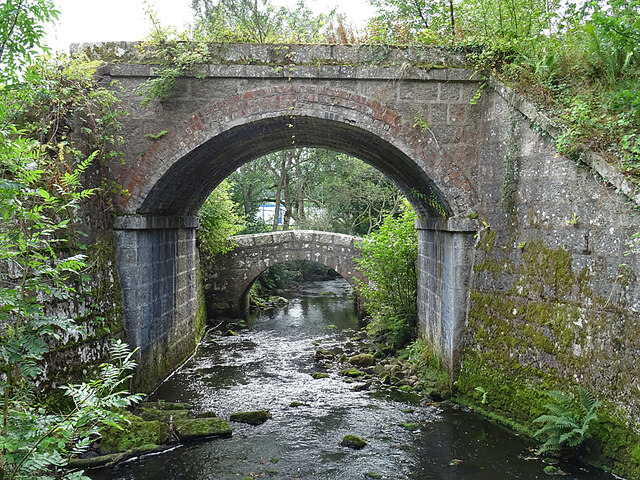
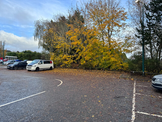
Pig Hill Wood Images
Images are sourced within 2km of 57.051463/-2.45365 or Grid Reference NO7295. Thanks to Geograph Open Source API. All images are credited.


Pig Hill Wood is located at Grid Ref: NO7295 (Lat: 57.051463, Lng: -2.45365)
Unitary Authority: Aberdeenshire
Police Authority: North East
What 3 Words
///clicker.dabble.outwit. Near Banchory, Aberdeenshire
Nearby Locations
Related Wikis

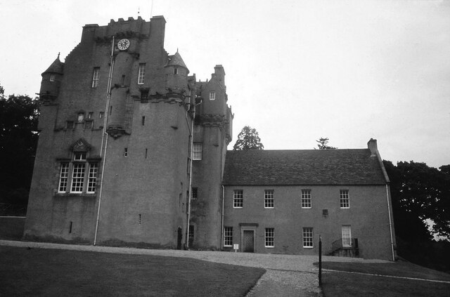
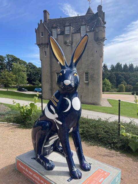
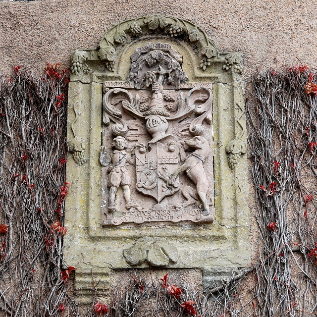
Crathes Castle
Crathes Castle (pronounced KRATH-iss) is a castle, built in the 16th-century, near Banchory in Aberdeenshire, Scotland. It is in the historic county of...

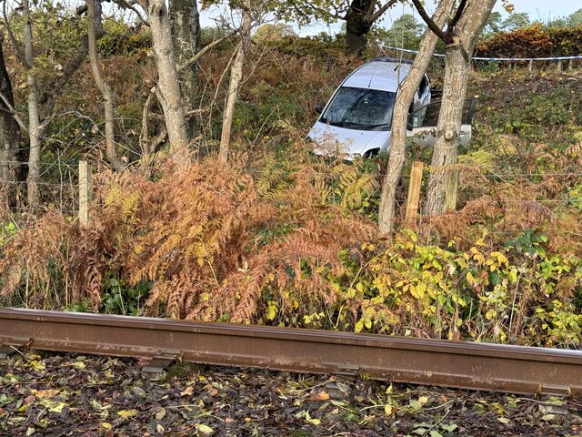
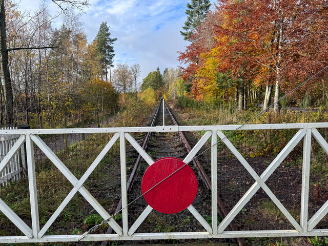
Milton of Crathes railway station
Milton of Crathes railway station is located at Milton of Crathes, three miles east of Banchory, Royal Deeside, Aberdeenshire, Scotland, United Kingdom...

Royal Deeside Railway
The Royal Deeside Railway is a Scottish heritage railway located at Milton of Crathes railway station on a part of the original Deeside Railway. ��2�...

Tilquhillie Castle
Tilquhillie Castle is a castle near Banchory in Aberdeenshire, Scotland. A Category A listed building, the castle formally formed part of the lands of...

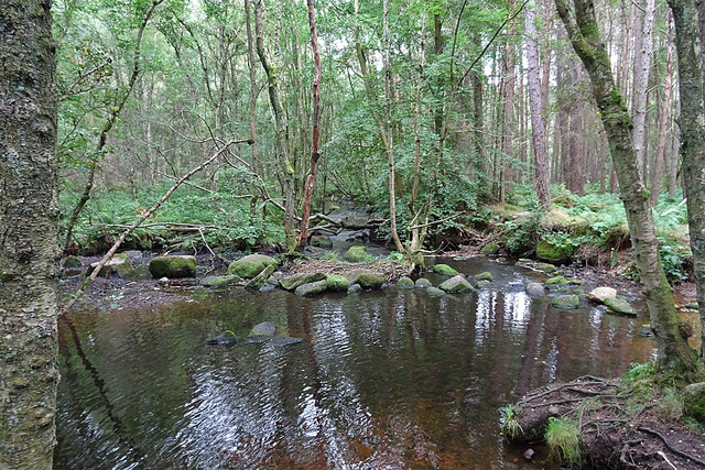
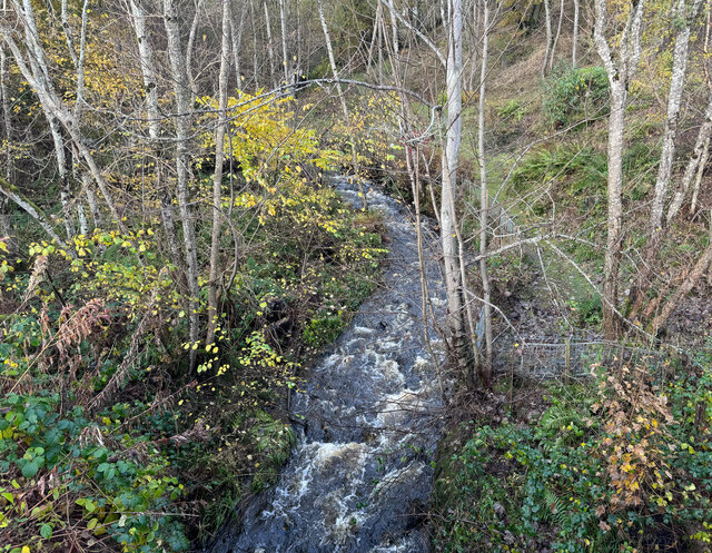
Coy Burn
Coy Burn is a stream that rises in the hills north of Banchory in Aberdeenshire, Scotland. Coy Burn discharges to the River Dee at Milton of Crathes....

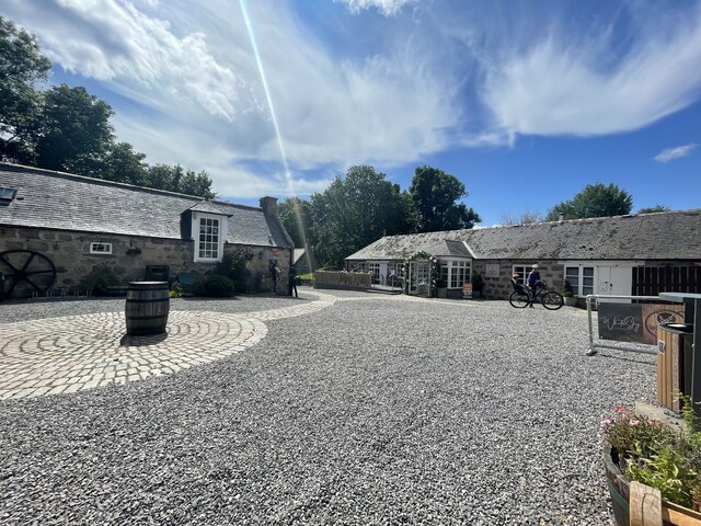
Milton of Crathes
Milton of Crathes is a complex of restored 17th-century stone buildings, associated with, and previously an outlier of, Crathes Castle in Aberdeenshire...
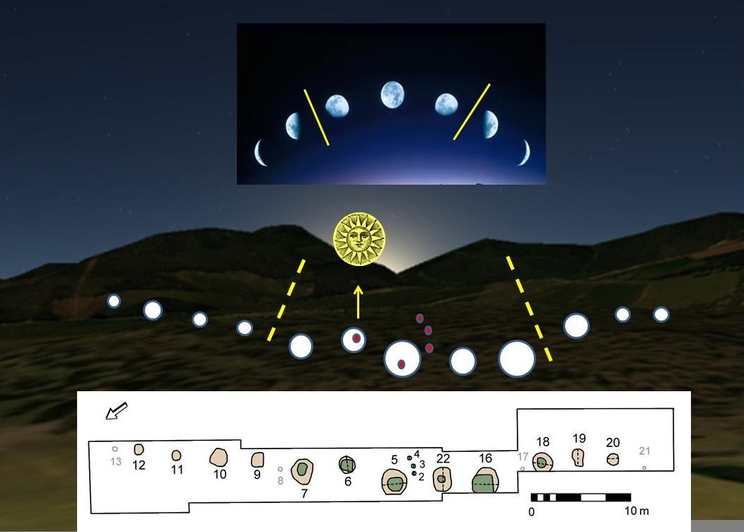
Warren Field
Warren Field is the location of a mesolithic calendar monument built about 8,000 BCE. It includes 12 pits believed to correlate with phases of the Moon...

Banchory St Ternan F.C.
Banchory St. Ternan Football Club are a Scottish Junior football club based in Crathes, two miles outside the town of Banchory, Aberdeenshire. The club...
Nearby Amenities
Located within 500m of 57.051463,-2.45365Have you been to Pig Hill Wood?
Leave your review of Pig Hill Wood below (or comments, questions and feedback).