Belhangie Wood

Wood, Forest in Kincardineshire

Scotland

Belhangie Wood

Forestry road near Scare Hill
Forestry road near Scare Hill Credit: Steven Brown

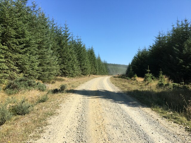
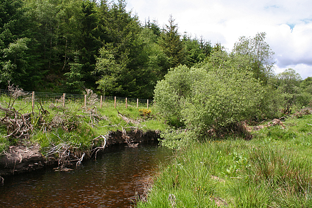
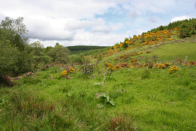
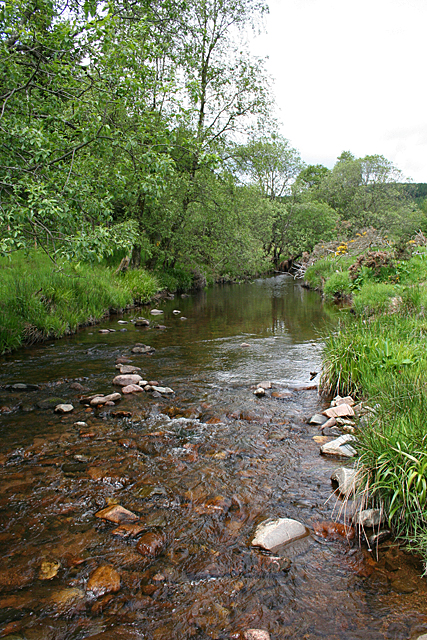
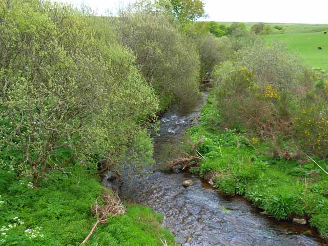
Belhangie Wood, located in Kincardineshire, Scotland, is a picturesque woodland area covering an approximate area of 100 acres. Situated on the southern slopes of the Hill of Fare, it is nestled within the scenic countryside, offering visitors a serene and tranquil environment to explore.

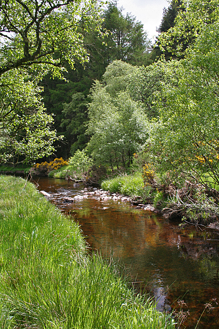
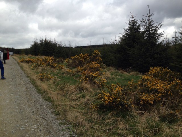
The wood is primarily composed of native broadleaf species, including oak, birch, and beech trees, which create a diverse and rich habitat for various wildlife species. The dense canopy formed by these trees provides shade and shelter for a wide range of plants and animals, making it a haven for biodiversity.

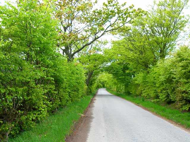
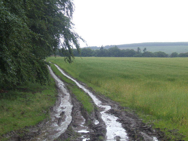
Belhangie Wood is renowned for its scenic beauty, with winding trails and footpaths that meander through the woodland, allowing visitors to immerse themselves in nature. The paths are well-maintained and suitable for walking, providing an ideal opportunity for outdoor enthusiasts to enjoy leisurely strolls or more vigorous hikes.

The wood also boasts a diverse range of wildlife, including deer, red squirrels, and a variety of bird species. Birdwatching enthusiasts may catch glimpses of woodpeckers, owls, and various songbirds amidst the treetops. The wood's tranquil atmosphere and diverse ecosystem make it a popular spot for nature lovers and photographers alike.

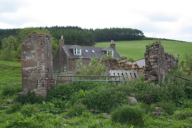
In addition to its natural beauty, Belhangie Wood also holds historical significance. It is believed that the wood has been present for centuries, serving as a valuable resource for local communities throughout the years.

Overall, Belhangie Wood offers visitors a captivating experience of Scotland's natural heritage, combining scenic beauty, diverse wildlife, and a touch of history.

If you have any feedback on the listing, please let us know in the comments section below.

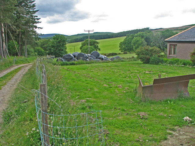
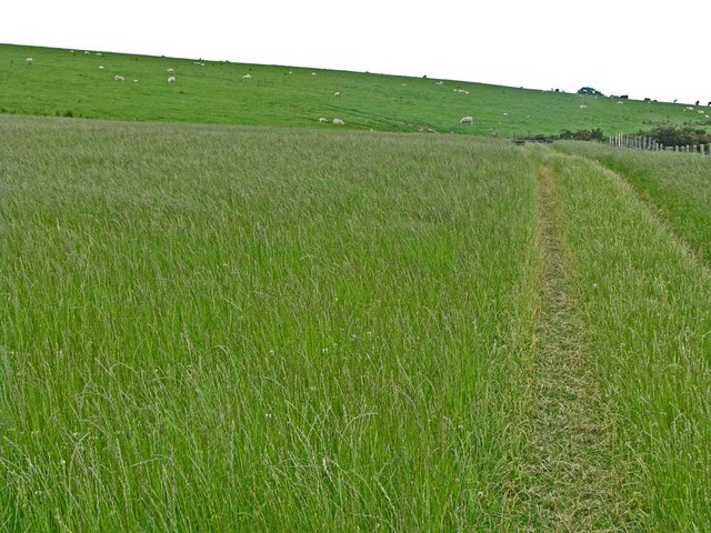
Belhangie Wood Images

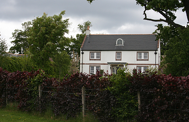
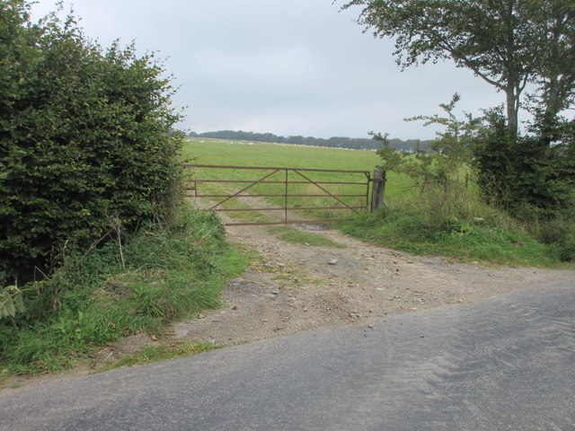
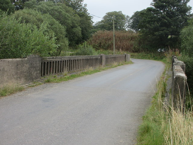
Images are sourced within 2km of 56.94125/-2.4524747 or Grid Reference NO7283. Thanks to Geograph Open Source API. All images are credited.

Forestry road near Scare Hill
Bervie Water This square is mostly forested, but there is a corner where the Bervie Water flows through more open fields.
Bervie Water
This square is mostly forested, but there is a corner where the Bervie Water flows through more open fields.
West Bogton The house almost merges into the similarly coloured earth of the recently seeded field.
West Bogton
The house almost merges into the similarly coloured earth of the recently seeded field.
Chapelton Croft The croft stands beside the signposted path from Bervie Braes to the Slug Road.
Chapelton Croft
The croft stands beside the signposted path from Bervie Braes to the Slug Road.
Bervie Water Looking upstream. Note how close the forest is to the far bank of the river. Forest plantations take up the majority of this square.
Bervie Water
Looking upstream. Note how close the forest is to the far bank of the river. Forest plantations take up the majority of this square.
Near Corsebauld There's just a small corner of this square made up of rough grazing. It looks as if the whins have been burned, but they are growing again from the roots. It takes more than a fire to get rid of whins.
Near Corsebauld
There's just a small corner of this square made up of rough grazing. It looks as if the whins have been burned, but they are growing again from the roots. It takes more than a fire to get rid of whins.
Bervie Water The water is very clear, although peat-stained. Very tempting, if it had been deep enough to contemplate swimming!
Bervie Water
The water is very clear, although peat-stained. Very tempting, if it had been deep enough to contemplate swimming!
Corsebauld The house at Corsebauld, viewed through the ruins of another building.
Corsebauld
The house at Corsebauld, viewed through the ruins of another building.
Chapelton House The farm steadings at Chapelton have mostly been converted to housing, but this is the rather attractive farm house, viewed from the other side of the road.
Chapelton House
The farm steadings at Chapelton have mostly been converted to housing, but this is the rather attractive farm house, viewed from the other side of the road.
Forestry, Shoolbraid Wood
Rusty gate Gate on the north side of the Auchenblae to Stonehaven road near Dellavaird.
Rusty gate
Gate on the north side of the Auchenblae to Stonehaven road near Dellavaird.
Bridge over the Bervie Water Bridge carrying the C1K Auchenblae to Stonehaven road over the Bervie Water.
Bridge over the Bervie Water
Bridge carrying the C1K Auchenblae to Stonehaven road over the Bervie Water.
Looking down the Bervie Water From the bridge near Tipperty
Looking down the Bervie Water
From the bridge near Tipperty
Tree-lined road near Milton of Dellavaird
Transco's  Natural Gas pumping station at Auchenblae Main distribution line for natural gas passes through this site. Although named the Auchenblae site, it does in fact lie about 4 km from the village of that name. For some inscrutable reason, these sites seem to attract seagulls (also the odd oyster-catcher).
Transco's Natural Gas pumping station at Auchenblae
Main distribution line for natural gas passes through this site. Although named the Auchenblae site, it does in fact lie about 4 km from the village of that name. For some inscrutable reason, these sites seem to attract seagulls (also the odd oyster-catcher).
The road to Chapelton By the Delavaird crossroads.
The road to Chapelton
By the Delavaird crossroads.
Farm track near Bogincaber Rolling arable land in Angus.
Farm track near Bogincaber
Rolling arable land in Angus.
Farm track with Turf Hill and Scare Hill on the horizon
Show me another place!

Belhangie Wood is located at Grid Ref: NO7283 (Lat: 56.94125, Lng: -2.4524747)

Unitary Authority: Aberdeenshire

Police Authority: North East

What 3 Words

///dove.feasted.rollers. Near Laurencekirk, Aberdeenshire

Nearby Locations

Belhangie Wood Scare Hill

Related Wikis

Drumtochty Forest

Drumtochty Forest is a coniferous woodland in Kincardineshire, Scotland. In earlier times this forest was associated with Drumtochty Castle. Other notable...

Droop Hill

Droop Hill is a mountain landform in the Kincardine and Mearns region of Aberdeenshire, Scotland. The locale had been featured in a windfarm proposal...

Bogjurgan Hill

Bogjurgan Hill is an elevated landform at the southern verge of the Fetteresso Forest in Aberdeenshire, Scotland. Its top is at an elevation of 299 metres...

Craiginour

Craiginour is a hill located near Cowie Water in Stonehaven, Aberdeenshire, Scotland. Its summit is at 355 metres (1,165 ft). == References ==

Have you been to Belhangie Wood?

Leave your review of Belhangie Wood below (or comments, questions and feedback).