Scare Hill

Hill, Mountain in Kincardineshire

Scotland

Scare Hill

Forestry road near Scare Hill
Forestry road near Scare Hill Credit: Steven Brown

Scare Hill, located in Kincardineshire, Scotland, is a prominent hill that stands at an elevation of approximately 355 meters (1,165 feet) above sea level. Situated in the stunning countryside, this hill is a popular attraction for outdoor enthusiasts and nature lovers alike.

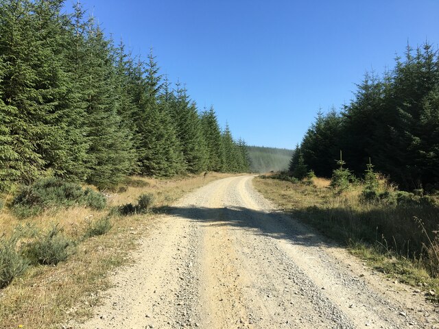
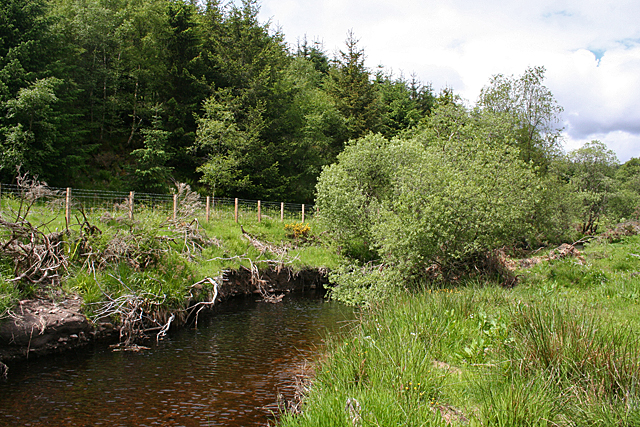
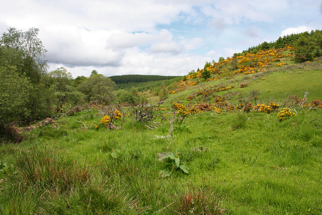
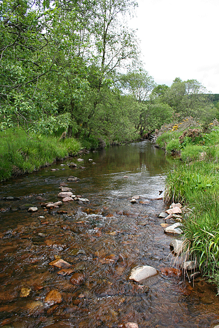
The hill is characterized by its gentle slopes, covered in lush green vegetation, and offers breathtaking panoramic views of the surrounding area. It is a part of the larger scenic landscape of Kincardineshire, which is known for its rolling hills, deep glens, and picturesque moorlands.

Scare Hill is easily accessible, with various hiking trails leading up to its summit. These trails cater to different levels of difficulty, making it suitable for both experienced hikers and beginners. Along the way, visitors may encounter diverse wildlife, including birds, rabbits, and occasionally deer.

At the top of Scare Hill, visitors are rewarded with unparalleled vistas stretching across the countryside and beyond. On clear days, one can see the North Sea to the east, with the beautiful coastline of Scotland serving as a backdrop. To the west, the hill offers stunning views of the Grampian Mountains, adding to the charm and allure of the area.

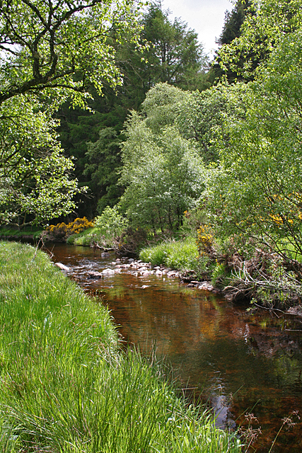
For those seeking peacefulness and tranquility, Scare Hill provides the perfect escape from the hustle and bustle of everyday life. Its natural beauty and serene atmosphere make it an ideal spot for picnics, photography, or simply strolling through its scenic surroundings.

Overall, Scare Hill in Kincardineshire offers a delightful outdoor experience, combining stunning vistas, diverse wildlife, and a serene ambiance that draws visitors from near and far.

If you have any feedback on the listing, please let us know in the comments section below.
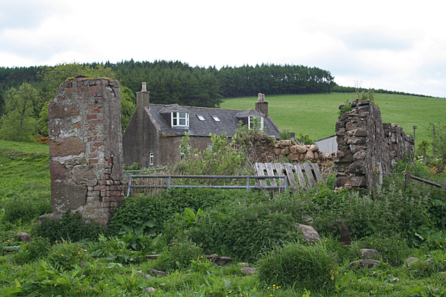
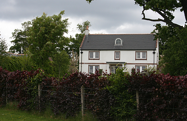
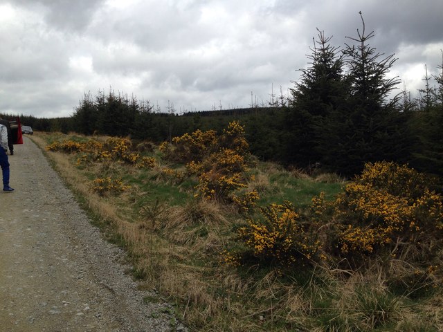
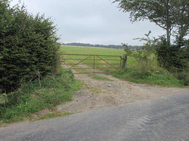
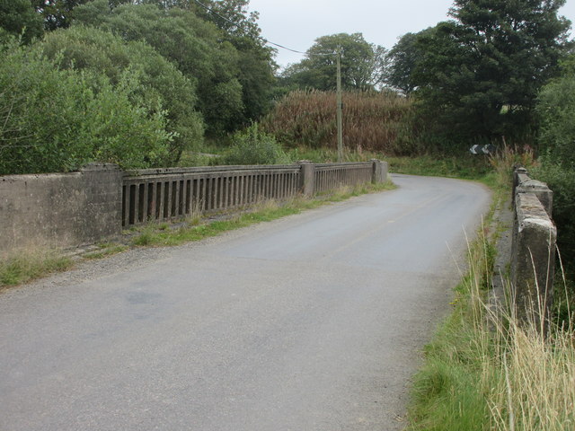
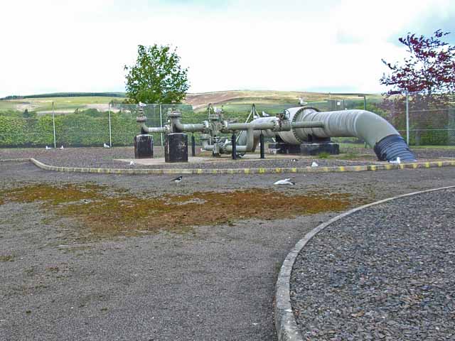
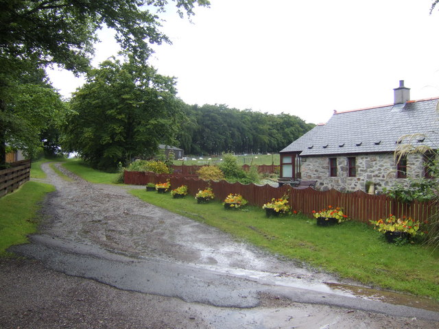
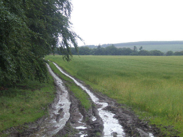
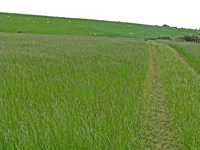
Scare Hill Images

Images are sourced within 2km of 56.944167/-2.448368 or Grid Reference NO7283. Thanks to Geograph Open Source API. All images are credited.

Forestry road near Scare Hill
An interesting sign in the Burn of Guinea at the Bridge of Bogincaber
Bridge of Bogincaber The bridge carries the road across the Burn of Guinea. Compare with <a href="https://www.geograph.org.uk/photo/2564787">NO7483 : An interesting sign in the Burn of Guinea at the Bridge of Bogincaber</a>. Presumably the ban on ball games has been lifted.
Bridge of Bogincaber
The bridge carries the road across the Burn of Guinea. Compare with NO7483 : An interesting sign in the Burn of Guinea at the Bridge of Bogincaber. Presumably the ban on ball games has been lifted.
Bervie Water This square is mostly forested, but there is a corner where the Bervie Water flows through more open fields.
Bervie Water
This square is mostly forested, but there is a corner where the Bervie Water flows through more open fields.
West Bogton The house almost merges into the similarly coloured earth of the recently seeded field.
West Bogton
The house almost merges into the similarly coloured earth of the recently seeded field.
Chapelton Croft The croft stands beside the signposted path from Bervie Braes to the Slug Road.
Chapelton Croft
The croft stands beside the signposted path from Bervie Braes to the Slug Road.
Bervie Water Looking upstream. Note how close the forest is to the far bank of the river. Forest plantations take up the majority of this square.
Bervie Water
Looking upstream. Note how close the forest is to the far bank of the river. Forest plantations take up the majority of this square.
Near Corsebauld There's just a small corner of this square made up of rough grazing. It looks as if the whins have been burned, but they are growing again from the roots. It takes more than a fire to get rid of whins.
Near Corsebauld
There's just a small corner of this square made up of rough grazing. It looks as if the whins have been burned, but they are growing again from the roots. It takes more than a fire to get rid of whins.
Bervie Water The water is very clear, although peat-stained. Very tempting, if it had been deep enough to contemplate swimming!
Bervie Water
The water is very clear, although peat-stained. Very tempting, if it had been deep enough to contemplate swimming!
Corsebauld The house at Corsebauld, viewed through the ruins of another building.
Corsebauld
The house at Corsebauld, viewed through the ruins of another building.
Chapelton House The farm steadings at Chapelton have mostly been converted to housing, but this is the rather attractive farm house, viewed from the other side of the road.
Chapelton House
The farm steadings at Chapelton have mostly been converted to housing, but this is the rather attractive farm house, viewed from the other side of the road.
Forestry, Shoolbraid Wood
Potato field near Bogincaber Looking northwards over a field of potatoes near Bogincaber.
Potato field near Bogincaber
Looking northwards over a field of potatoes near Bogincaber.
Rusty gate Gate on the north side of the Auchenblae to Stonehaven road near Dellavaird.
Rusty gate
Gate on the north side of the Auchenblae to Stonehaven road near Dellavaird.
Bridge over the Bervie Water Bridge carrying the C1K Auchenblae to Stonehaven road over the Bervie Water.
Bridge over the Bervie Water
Bridge carrying the C1K Auchenblae to Stonehaven road over the Bervie Water.
Transco's  Natural Gas pumping station at Auchenblae Main distribution line for natural gas passes through this site. Although named the Auchenblae site, it does in fact lie about 4 km from the village of that name. For some inscrutable reason, these sites seem to attract seagulls (also the odd oyster-catcher).
Transco's Natural Gas pumping station at Auchenblae
Main distribution line for natural gas passes through this site. Although named the Auchenblae site, it does in fact lie about 4 km from the village of that name. For some inscrutable reason, these sites seem to attract seagulls (also the odd oyster-catcher).
The road to Chapelton By the Delavaird crossroads.
The road to Chapelton
By the Delavaird crossroads.
Farm track near Bogincaber Rolling arable land in Angus.
Farm track near Bogincaber
Rolling arable land in Angus.
Show me another place!

Scare Hill is located at Grid Ref: NO7283 (Lat: 56.944167, Lng: -2.448368)

Unitary Authority: Aberdeenshire

Police Authority: North East

What 3 Words

///fidgeting.doghouse.nibbles. Near Banchory, Aberdeenshire

Nearby Locations

Scare Hill Belhangie Wood

Related Wikis

Bogjurgan Hill

Bogjurgan Hill is an elevated landform at the southern verge of the Fetteresso Forest in Aberdeenshire, Scotland. Its top is at an elevation of 299 metres...

Craiginour

Craiginour is a hill located near Cowie Water in Stonehaven, Aberdeenshire, Scotland. Its summit is at 355 metres (1,165 ft). == References ==

Droop Hill

Droop Hill is a mountain landform in the Kincardine and Mearns region of Aberdeenshire, Scotland. The locale had been featured in a windfarm proposal...

Drumtochty Forest

Drumtochty Forest is a coniferous woodland in Kincardineshire, Scotland. In earlier times this forest was associated with Drumtochty Castle. Other notable...

Have you been to Scare Hill?

Leave your review of Scare Hill below (or comments, questions and feedback).