Bowley Hill

Hill, Mountain in Lancashire Hyndburn

England

Bowley Hill

Mobile Mast LAN0055 on Whalley Nab Delivering Freeview and mobile telephony services in Lancashire.
Mobile Mast LAN0055 on Whalley Nab Credit: Greum

Bowley Hill is a prominent hill located in the county of Lancashire, in the northwest of England. Situated near the town of Great Harwood, it is part of the stunning Pendle Hill range, which is renowned for its beautiful landscapes and historical significance. Bowley Hill stands at an elevation of approximately 1,200 feet (366 meters) above sea level, making it one of the highest points in the region.

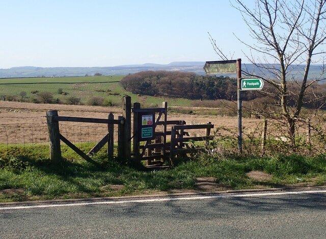
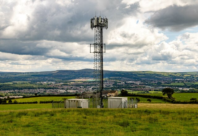
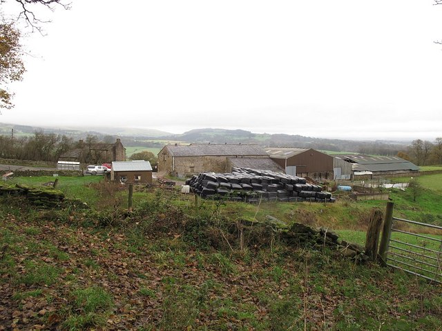
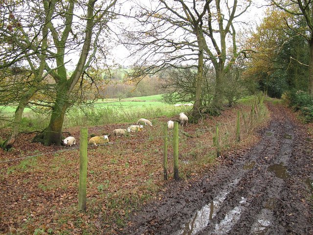
The hill is covered in lush greenery and offers breathtaking panoramic views of the surrounding countryside. Its slopes are predominantly composed of grassland, interspersed with patches of heather and scattered trees. The hill's terrain is undulating, with gentle slopes leading up to its summit, providing an ideal location for hiking and nature enthusiasts.

Bowley Hill is also notable for its historical importance. It is believed to have been inhabited since ancient times, with archaeological evidence suggesting human activity dating back to the Neolithic and Bronze Ages. The hill is also linked to the infamous Pendle Witch Trials of the 17th century, which saw several people accused of witchcraft and subsequently executed.

In recent years, Bowley Hill has become a popular destination for outdoor activities such as walking, hiking, and birdwatching. Its tranquil and unspoiled environment attracts a variety of wildlife, including birds, rabbits, and deer. With its natural beauty, rich history, and stunning vistas, Bowley Hill offers a captivating experience for visitors seeking to explore the picturesque landscapes of Lancashire.

If you have any feedback on the listing, please let us know in the comments section below.
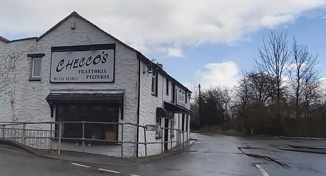
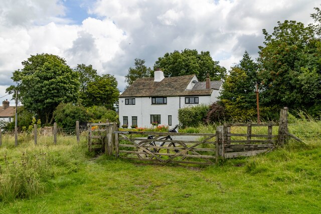
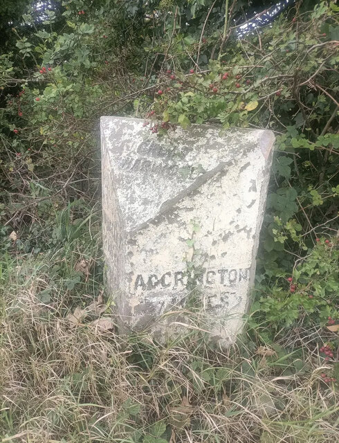
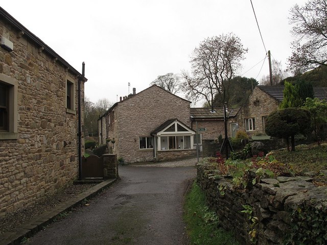
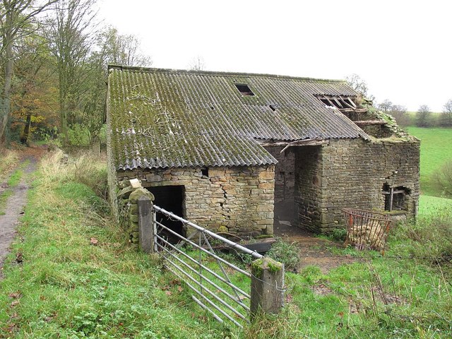
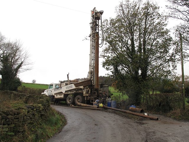
Bowley Hill Images

Images are sourced within 2km of 53.795948/-2.4143306 or Grid Reference SD7233. Thanks to Geograph Open Source API. All images are credited.

Mobile Mast LAN0055 on Whalley Nab Delivering Freeview and mobile telephony services in Lancashire.
Mobile Mast LAN0055 on Whalley Nab
Delivering Freeview and mobile telephony services in Lancashire.
Checco's Pizzeria
Checco's Pizzeria
Footpath leading to Dean Clough Reservoir The style for the footpath leading across the field opposite the layby on Blackburn Old Road. Both York Road and Dean Clough reservoir can be accessed using the footpath.
Footpath leading to Dean Clough Reservoir
The style for the footpath leading across the field opposite the layby on Blackburn Old Road. Both York Road and Dean Clough reservoir can be accessed using the footpath.
Stile Old Nab Road The stile on Old Nab Road just out of York Village. The style provides access to more than one path.
Stile Old Nab Road
The stile on Old Nab Road just out of York Village. The style provides access to more than one path.
Stile on Moor Lane at Nab Top The stile provides access to a footpath that leads across the field towards Shawcliffe Lane.
Stile on Moor Lane at Nab Top
The stile provides access to a footpath that leads across the field towards Shawcliffe Lane.
Stile at Briercliffe Farm The stile situated at the Junction of Moor lane and Shawclffe Lane next to the entrance to Briercliffe Farm.
Stile at Briercliffe Farm
The stile situated at the Junction of Moor lane and Shawclffe Lane next to the entrance to Briercliffe Farm.
Building off Moor Lane Entrance to Buildings at Miles Hill off Moor Lane.
Building off Moor Lane
Entrance to Buildings at Miles Hill off Moor Lane.
Four Winds
Four Winds
Communications Mast
Communications Mast
Old Milestone by the A680, Rodger Hey Farm, Great Harwood parish Carved stone post by the A680, in parish of GREAT HARWOOD (HYNDBURN District), North of Rodger Hey, by the road, on West side of road. Lancs CC stone triangle, erected by the County Council in the 19th/20th century. 

Inscription reads:-
: WHALLEY / 2 MILES / CLITHEROE / 6 MILES : : GREAT / HARWOOD : : ACCRINGTON / 3 MILES : 

Milestone Society National ID: LA_CLAC06.
Old Milestone by the A680, Rodger Hey Farm, Great Harwood parish
Carved stone post by the A680, in parish of GREAT HARWOOD (HYNDBURN District), North of Rodger Hey, by the road, on West side of road. Lancs CC stone triangle, erected by the County Council in the 19th/20th century. Inscription reads:- : WHALLEY / 2 MILES / CLITHEROE / 6 MILES : : GREAT / HARWOOD : : ACCRINGTON / 3 MILES : Milestone Society National ID: LA_CLAC06.
Stoops Farm, Dean Lane, near Billington Dean Lane is a surfaced part of the ancient route between Whalley and Great Harwood, while other sections are still unsurfaced bridleways.
Stoops Farm, Dean Lane, near Billington
Dean Lane is a surfaced part of the ancient route between Whalley and Great Harwood, while other sections are still unsurfaced bridleways.
Hillside with gorse, Whalley Banks The eastern flank of Whalley Nab.
Hillside with gorse, Whalley Banks
The eastern flank of Whalley Nab.
Sheep, Whalley Banks In a field below White Goat Farm.
Sheep, Whalley Banks
In a field below White Goat Farm.
Dean Lane, south of Whalley Banks Dean Lane is the historic route from Whalley to Great Harwood.  This section, currently classed as a bridleway, has become a deep Holloway; the path above it is less muddy but then veers off to the east as a separate footpath.
Dean Lane, south of Whalley Banks
Dean Lane is the historic route from Whalley to Great Harwood. This section, currently classed as a bridleway, has become a deep Holloway; the path above it is less muddy but then veers off to the east as a separate footpath.
Barn on Dean Lane The barn could do with some attention to its roof and walls, but is still in active use, judging by the manger outside.
Barn on Dean Lane
The barn could do with some attention to its roof and walls, but is still in active use, judging by the manger outside.
Drilling on Berry's Lane The drilling rig bears the legend "J P Whitter - water well engineers". As there are lots of springs on the hillside at about this level, that makes sense, although I did wonder whether it could be fracking exploration.
Drilling on Berry's Lane
The drilling rig bears the legend "J P Whitter - water well engineers". As there are lots of springs on the hillside at about this level, that makes sense, although I did wonder whether it could be fracking exploration.
Heys Farm, Dean Lane The main farmhouse, behind the trees to the left of the buildings in the foreground, and dating from the 17th century, is listed grade 2 (list entry 1205975).
Heys Farm, Dean Lane
The main farmhouse, behind the trees to the left of the buildings in the foreground, and dating from the 17th century, is listed grade 2 (list entry 1205975).
Sheep by Dean Lane This stretch of Dean Lane (the historic route from Whalley to Great Harwood) is a muddy bridleway.
Sheep by Dean Lane
This stretch of Dean Lane (the historic route from Whalley to Great Harwood) is a muddy bridleway.
Show me another place!

Bowley Hill is located at Grid Ref: SD7233 (Lat: 53.795948, Lng: -2.4143306)

Administrative County: Lancashire

District: Hyndburn

Police Authority: Lancashire

What 3 Words

///reverted.mice.variously. Near Great Harwood, Lancashire

Nearby Locations

Bowley Hill

Related Wikis

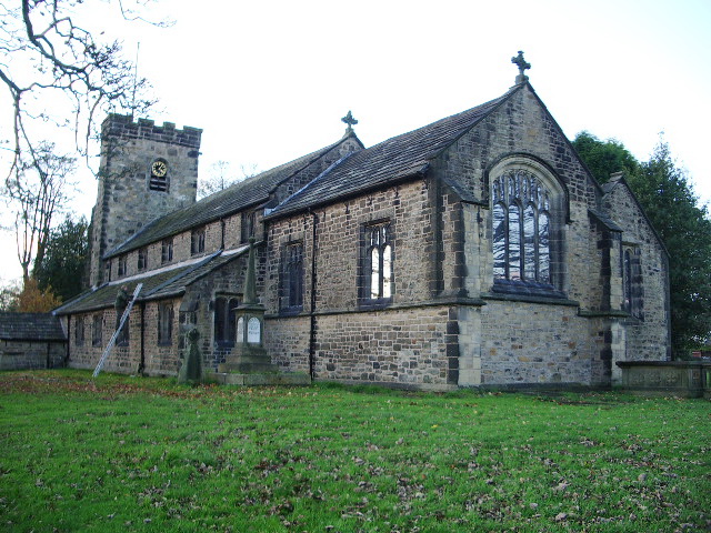
St Bartholomew's Church, Great Harwood

St Bartholomew's Church is in the town of Great Harwood in Lancashire, England. It is an active Anglican parish church in the Diocese of Blackburn. The...

Great Harwood

Great Harwood is a town in the Hyndburn district of Lancashire, England, located 5 miles (8.0 km) north east of Blackburn and adjacent to the Ribble Valley...

Great Harwood Town Hall

Great Harwood Town Hall is a municipal building in Town Hall Square, Great Harwood, Lancashire, England. The town hall, which was the headquarters of Great...

St John's Church, Great Harwood

St John's Church was an Anglican parish church in St Hubert's Road, Great Harwood, Lancashire, England. Its benefice has been united with that of St Bartholomew...

Nearby Amenities

Located within 500m of 53.795948,-2.4143306
Restaurant
The Dog and Otter
Addr City: Blackburn
Addr Postcode: BB6 7PG
Addr Street: Cliffe Lane
Addr Suburb: Great Harwood
Fhrs Id: 939177
Source Addr: FHRS Open Data
Lat/Long: 53.7929274/-2.4105541
Parking
Lat/Long: 53.7943454/-2.4190134
Bowley Hill
Natural: peak
Lat/Long: 53.7960449/-2.4145342
Back o' Bowley
Place: neighbourhood
Source: bing
Lat/Long: 53.7979811/-2.4125868
The data included in this document is from www.openstreetmap.org. The data is made available under ODbL.

Have you been to Bowley Hill?

Leave your review of Bowley Hill below (or comments, questions and feedback).