Roe Wood
Wood, Forest in Kincardineshire
Scotland
Roe Wood
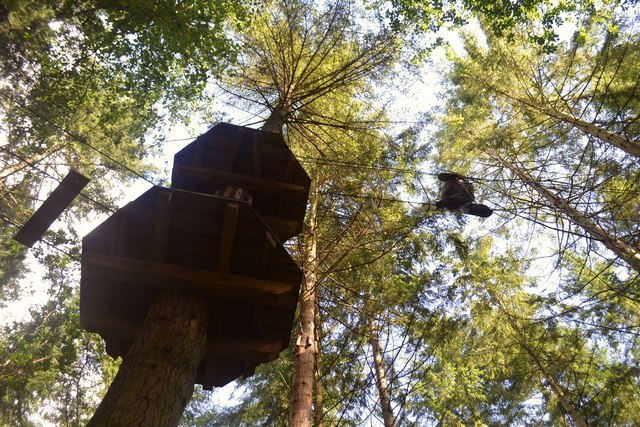
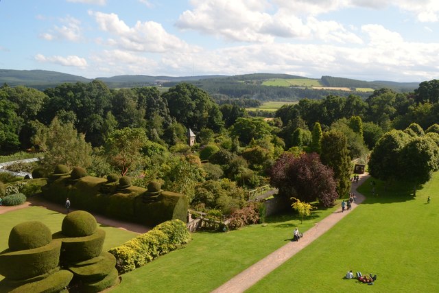
Roe Wood is a picturesque forest located in Kincardineshire, a historical county in the northeastern part of Scotland. Spread over an area of approximately 200 acres, the wood is known for its breathtaking natural beauty and diverse ecosystem.
The forest is predominantly composed of native deciduous trees such as oak, birch, and ash, which provide a rich habitat for a wide range of flora and fauna. The forest floor is adorned with a vibrant carpet of wildflowers during the spring and summer months, while in autumn, the trees showcase a spectacular display of colors.
Roe Wood is home to various wildlife species, including roe deer, which can often be spotted gracefully roaming through the trees. The forest also provides a haven for numerous bird species, making it a popular destination for birdwatchers and nature enthusiasts.
The wood offers a network of well-maintained trails, allowing visitors to explore its beauty on foot. These trails wind through the forest, offering stunning views of the surrounding countryside and the opportunity to discover hidden gems such as secluded ponds and streams.
For those seeking outdoor recreational activities, Roe Wood provides opportunities for hiking, jogging, and picnicking. The peaceful and tranquil atmosphere makes it an ideal location for relaxation and unwinding amidst nature.
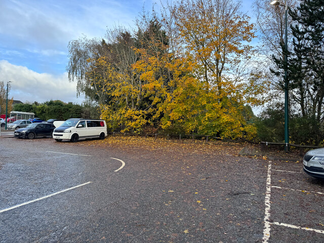
Roe Wood is easily accessible, with parking facilities available nearby. Whether you are a nature lover, a photographer, or simply looking to escape the hustle and bustle of everyday life, Roe Wood offers a serene and enchanting experience for all who visit.
If you have any feedback on the listing, please let us know in the comments section below.
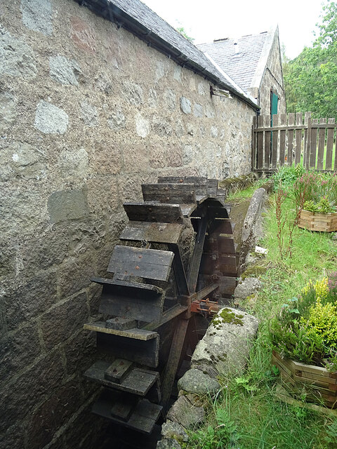
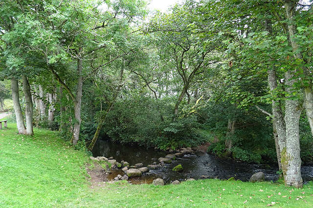
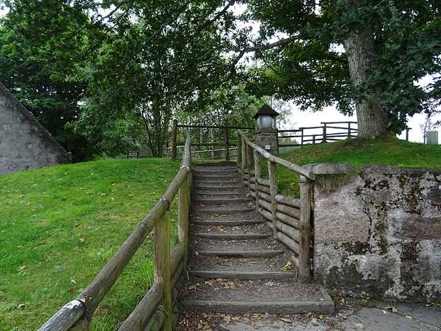
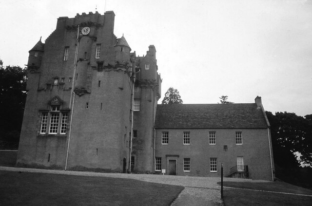
Roe Wood Images
Images are sourced within 2km of 57.05001/-2.4579179 or Grid Reference NO7295. Thanks to Geograph Open Source API. All images are credited.


Roe Wood is located at Grid Ref: NO7295 (Lat: 57.05001, Lng: -2.4579179)
Unitary Authority: Aberdeenshire
Police Authority: North East
What 3 Words
///point.imprints.canal. Near Banchory, Aberdeenshire
Nearby Locations
Related Wikis

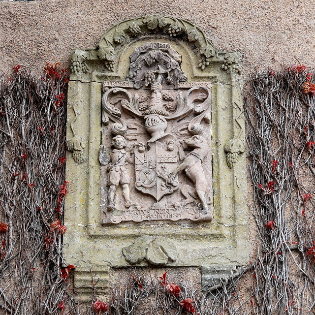
Tilquhillie Castle
Tilquhillie Castle is a castle near Banchory in Aberdeenshire, Scotland. A Category A listed building, the castle formally formed part of the lands of...

Banchory Ternan East Church
Banchory Ternan East Parish Church is a congregation of the Church of Scotland, a member of the Presbyterian Church. The church building is located in...

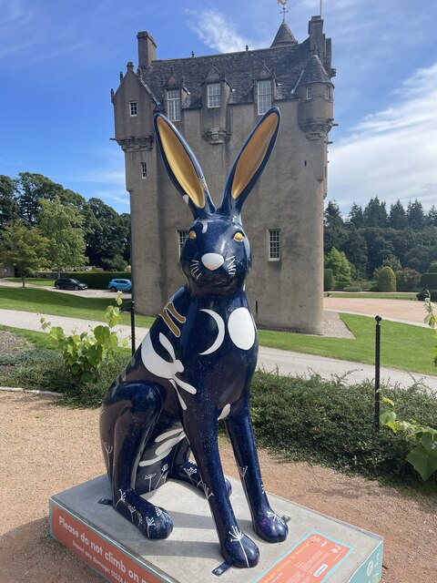
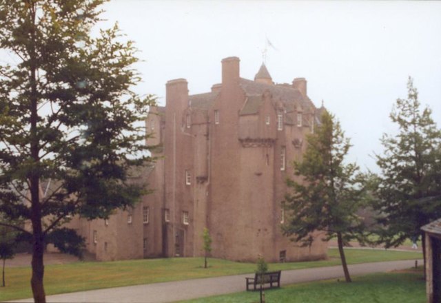
Crathes Castle
Crathes Castle (pronounced KRATH-iss) is a castle, built in the 16th-century, near Banchory in Aberdeenshire, Scotland. It is in the historic county of...

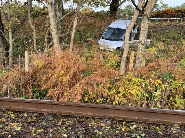
Milton of Crathes railway station
Milton of Crathes railway station is located at Milton of Crathes, three miles east of Banchory, Royal Deeside, Aberdeenshire, Scotland, United Kingdom...

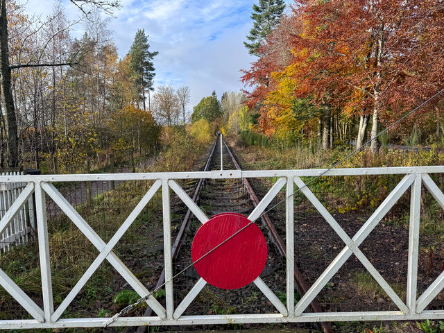
Royal Deeside Railway
The Royal Deeside Railway is a Scottish heritage railway located at Milton of Crathes railway station on a part of the original Deeside Railway. ��2�...

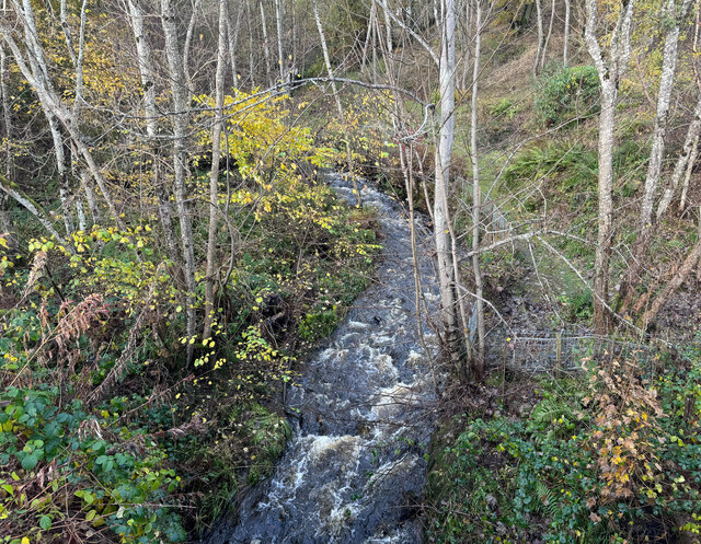
Coy Burn
Coy Burn is a stream that rises in the hills north of Banchory in Aberdeenshire, Scotland. Coy Burn discharges to the River Dee at Milton of Crathes....

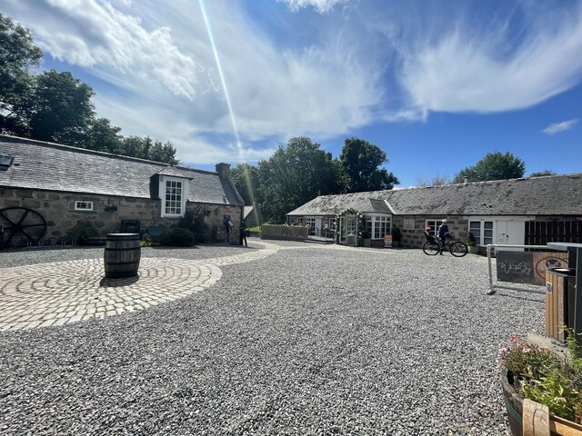
Milton of Crathes
Milton of Crathes is a complex of restored 17th-century stone buildings, associated with, and previously an outlier of, Crathes Castle in Aberdeenshire...

Banchory railway station
Banchory railway station was situated on the Aberdeen and Ballater branch (the Deeside Line). It was situated at 16 miles 72 chains (27.2 km) from Aberdeen...
Nearby Amenities
Located within 500m of 57.05001,-2.4579179Have you been to Roe Wood?
Leave your review of Roe Wood below (or comments, questions and feedback).