Angryflat Plantation
Wood, Forest in Roxburghshire
Scotland
Angryflat Plantation
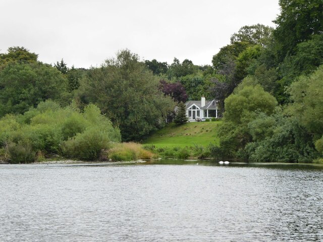
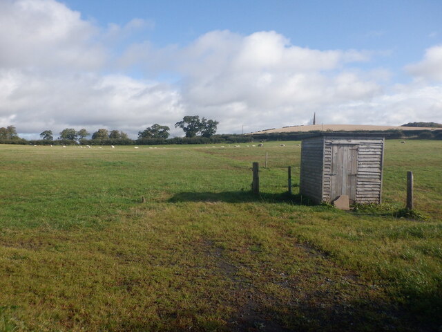
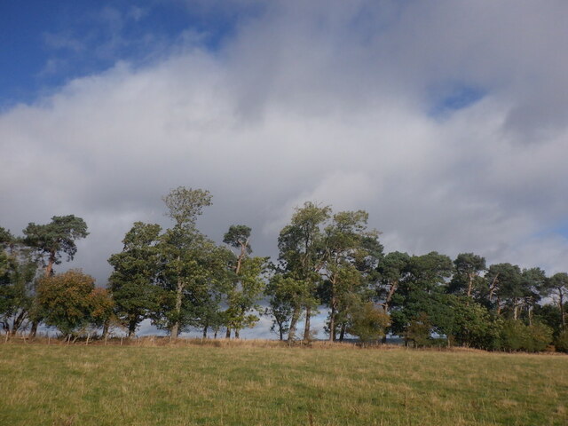
Angryflat Plantation is a sprawling woodland located in Roxburghshire, a historic county in the Scottish Borders region of Scotland. Covering a vast area, this plantation is primarily composed of dense forests and lush woodlands.
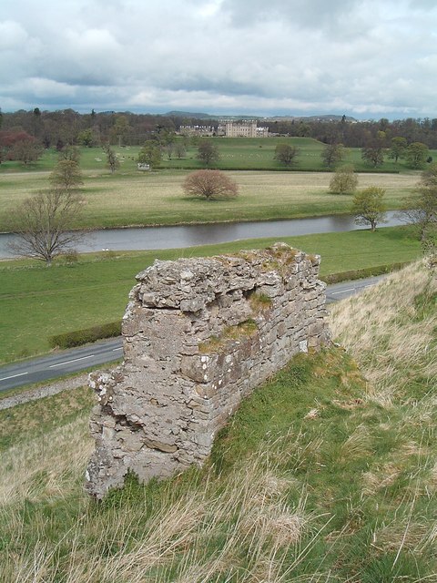
The plantation gets its intriguing name from the rugged terrain and challenging nature of the landscape. With a combination of steep slopes, rocky outcrops, and undulating terrain, it is believed that the name "Angryflat" originated from the difficulties encountered by early settlers in cultivating the land.
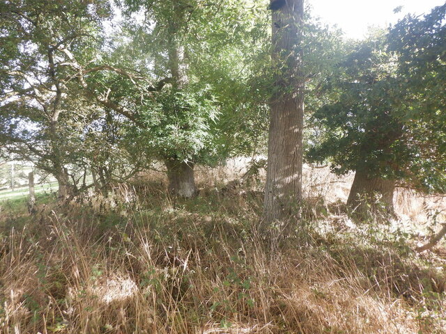
The woodland is home to a diverse range of tree species, including native Scots pines, oak, birch, and beech trees. These towering giants create a dense canopy, providing shelter for numerous wildlife species. The vibrant undergrowth is adorned with ferns, mosses, and a variety of wildflowers, adding to the natural beauty of the area.
Angryflat Plantation offers an array of recreational opportunities for nature enthusiasts. Trails wind through the woodland, providing an ideal setting for hiking, birdwatching, and nature photography. The plantation is also a popular destination for camping and picnicking, allowing visitors to immerse themselves in the tranquility of nature.
Managed by local forestry authorities, the plantation ensures sustainable practices to maintain the delicate balance of the ecosystem. Regular tree planting programs and selective logging are carried out to promote the growth and regeneration of the woodland.
Overall, Angryflat Plantation is a captivating destination that showcases the raw beauty of Scotland's woodlands. Its rugged terrain and rich biodiversity make it a haven for nature lovers and a valuable asset to the local community.
If you have any feedback on the listing, please let us know in the comments section below.
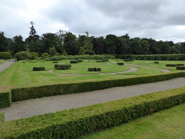
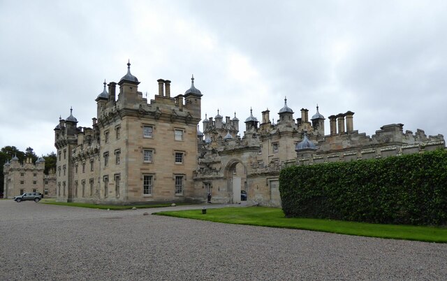
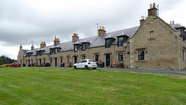
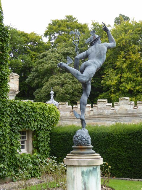
Angryflat Plantation Images
Images are sourced within 2km of 55.607052/-2.4449519 or Grid Reference NT7234. Thanks to Geograph Open Source API. All images are credited.
Angryflat Plantation is located at Grid Ref: NT7234 (Lat: 55.607052, Lng: -2.4449519)
Unitary Authority: The Scottish Borders
Police Authority: The Lothians and Scottish Borders
What 3 Words
///brings.impaired.abundance. Near Kelso, Scottish Borders
Related Wikis

Kelso Hospital
Kelso Hospital, also known as Inch Hospital, is a health facility at Inch Road in Kelso, Scotland. It is managed by NHS Borders. == History == The hospital...
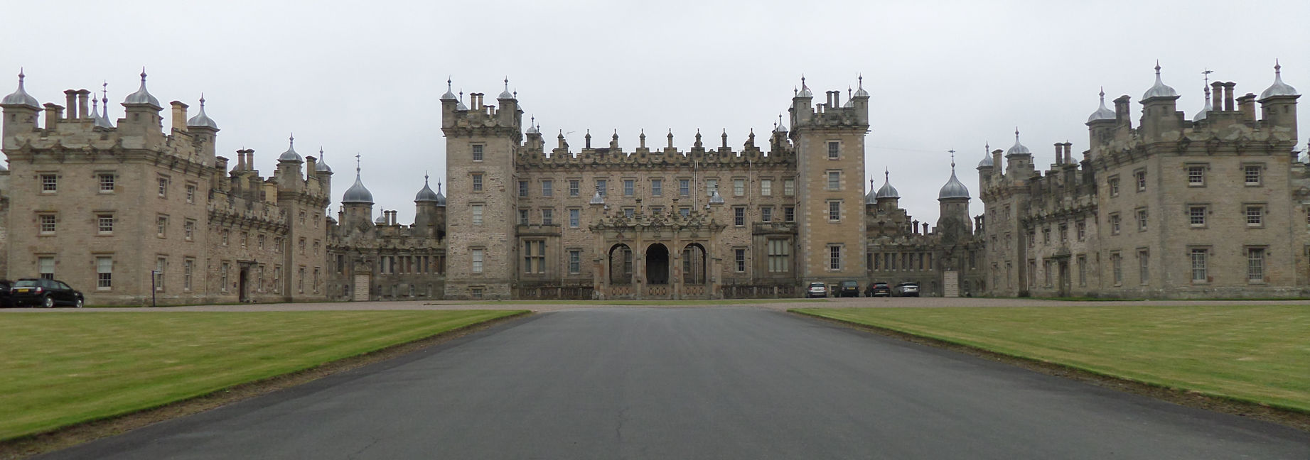
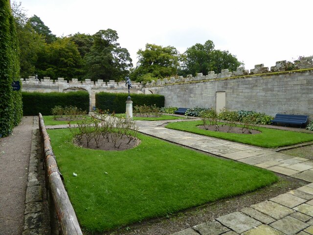
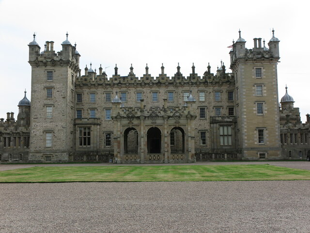
Floors Castle
Floors Castle, in Roxburghshire, south-east Scotland, is the seat of the Duke of Roxburghe. Despite its name it is an estate house rather than a fortress...

Kelso Racecourse
Kelso Racecourse is a thoroughbred horse racing venue located in Kelso, Scotland. Frequently described as "Britain's Friendliest Racecourse", the racecourse...

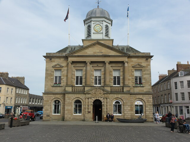
Kelso Town Hall
Kelso Town Hall is a municipal building in The Square, Kelso, Scotland. The building, which was the headquarters of Kelso Burgh Council, is a Category...

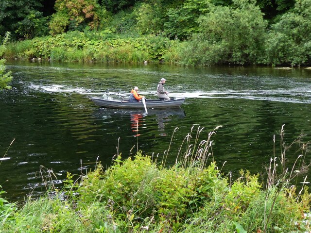
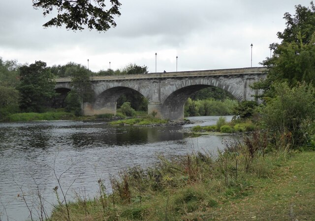
Kelso, Scottish Borders
Kelso is a market town in the Scottish Borders area of Scotland. Within the boundaries of the historic county of Roxburghshire, it lies where the rivers...

Corn Exchange, Kelso
The Corn Exchange is a commercial building in Woodmarket, Kelso, Scottish Borders, Scotland. The structure, which accommodates a health clinic, a dental...
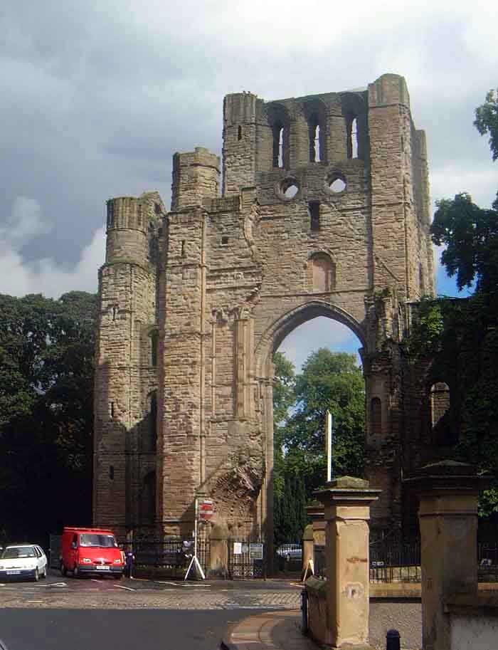
Kelso Abbey
Kelso Abbey is a ruined Scottish abbey in Kelso, Scotland. It was founded in the 12th century by a community of Tironensian monks first brought to Scotland...
Roxburgh
Roxburgh () is a civil parish and formerly a royal burgh, in the historic county of Roxburghshire in the Scottish Borders, Scotland. It was an important...
Nearby Amenities
Located within 500m of 55.607052,-2.4449519Have you been to Angryflat Plantation?
Leave your review of Angryflat Plantation below (or comments, questions and feedback).