Heugh-head Wood
Wood, Forest in Kincardineshire
Scotland
Heugh-head Wood
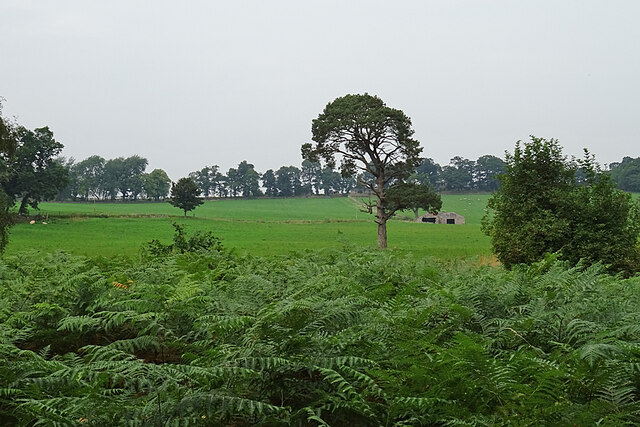
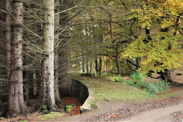
Heugh-head Wood is a picturesque forest located in Kincardineshire, Scotland. Covering an area of approximately 20 acres, this wood is a popular destination for nature enthusiasts and hikers alike.
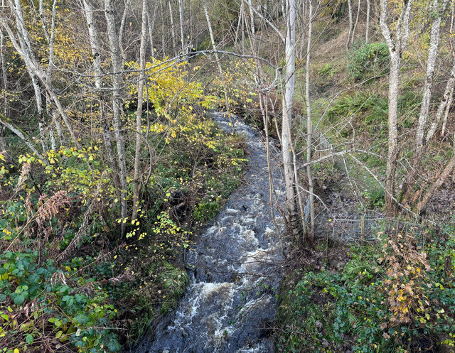
The wood is characterized by its diverse range of tree species, including oak, beech, and birch. These towering trees provide a dense canopy, creating a tranquil and shaded environment within the wood. In addition to the beautiful trees, Heugh-head Wood is home to a variety of wildlife. Visitors may spot red squirrels, roe deer, and a variety of bird species while exploring the trails.
The wood offers several well-maintained paths and trails, making it easily accessible to visitors of all skill levels. These paths wind through the forest, providing breathtaking views of the surrounding countryside and nearby Dunnottar Castle. Along the way, there are informational signs that educate visitors about the flora and fauna found within the wood.
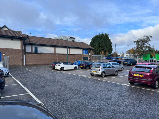
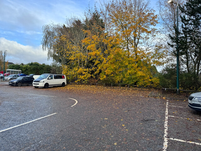
Heugh-head Wood is also well-equipped with amenities for visitors. There are picnic areas and benches scattered throughout the wood, allowing visitors to relax and enjoy the peaceful surroundings. Additionally, there is ample parking available for those arriving by car.
Overall, Heugh-head Wood is a hidden gem in Kincardineshire, offering a beautiful natural escape for individuals and families. Whether it's a leisurely stroll, a picnic, or birdwatching, this wood provides a serene and idyllic setting for all to enjoy.
If you have any feedback on the listing, please let us know in the comments section below.
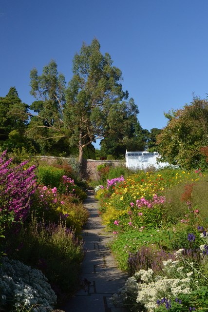
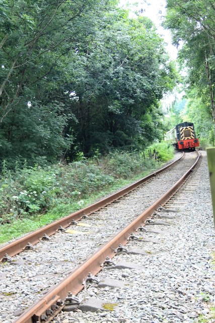
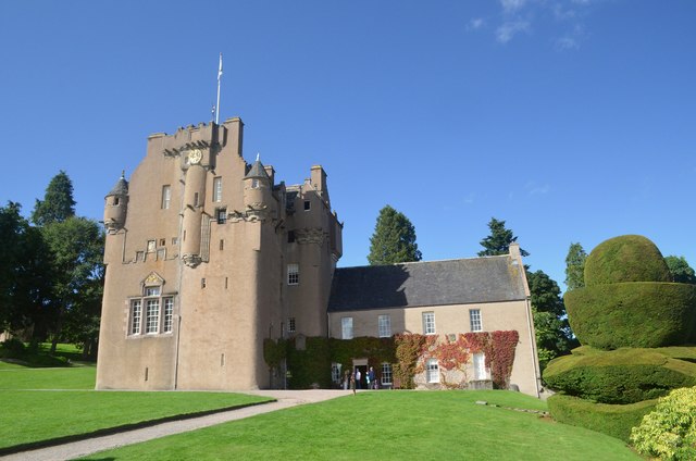
Heugh-head Wood Images
Images are sourced within 2km of 57.058554/-2.4625736 or Grid Reference NO7296. Thanks to Geograph Open Source API. All images are credited.


Heugh-head Wood is located at Grid Ref: NO7296 (Lat: 57.058554, Lng: -2.4625736)
Unitary Authority: Aberdeenshire
Police Authority: North East
What 3 Words
///wording.auctioned.chills. Near Banchory, Aberdeenshire
Nearby Locations
Related Wikis

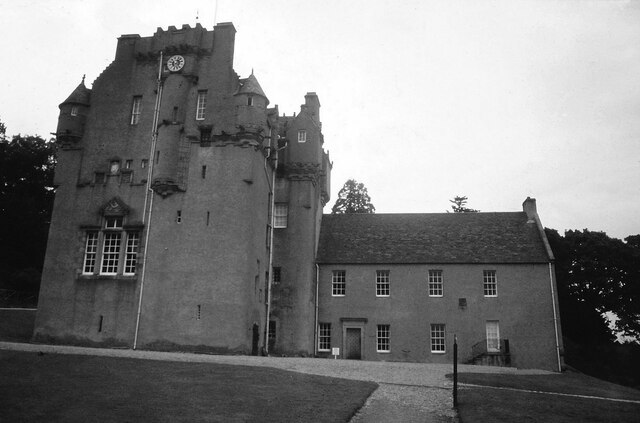
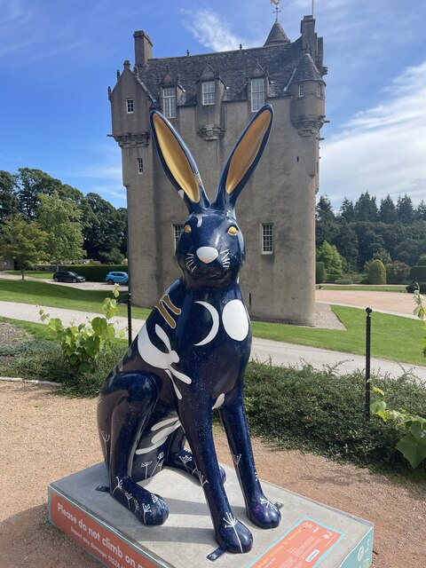
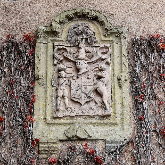
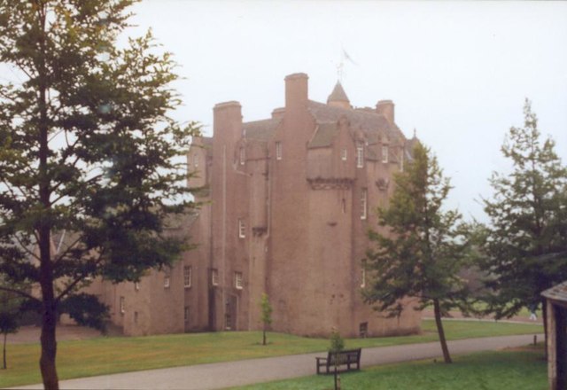
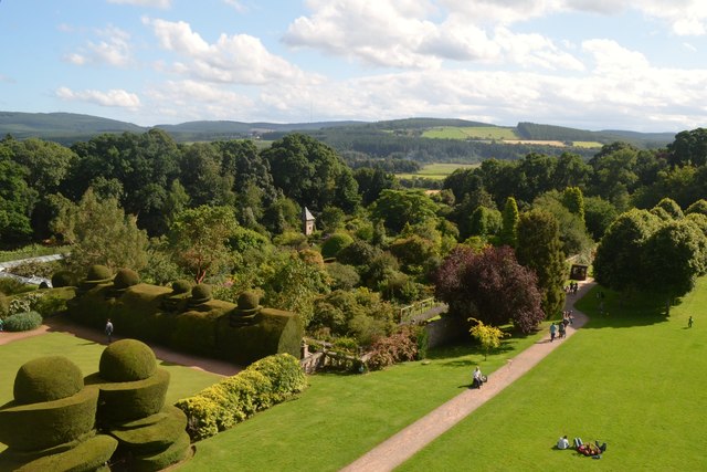
Crathes Castle
Crathes Castle (pronounced KRATH-iss) is a castle, built in the 16th-century, near Banchory in Aberdeenshire, Scotland. It is in the historic county of...

Banchory Ternan East Church
Banchory Ternan East Parish Church is a congregation of the Church of Scotland, a member of the Presbyterian Church. The church building is located in...
Banchory
Banchory (, Scots: Banchry, Scottish Gaelic: Beannchar) is a burgh or town in Aberdeenshire, Scotland. It is about 18 miles (29 km) west of Aberdeen,...

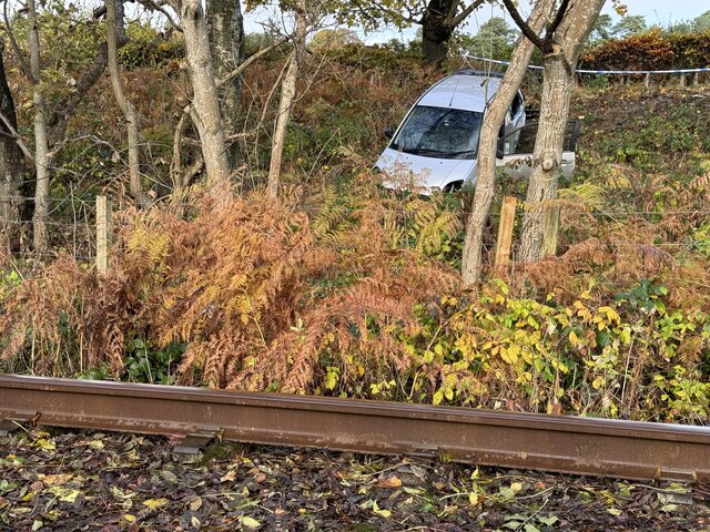
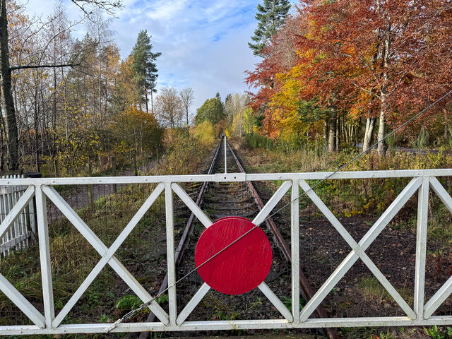
Banchory railway station
Banchory railway station was situated on the Aberdeen and Ballater branch (the Deeside Line). It was situated at 16 miles 72 chains (27.2 km) from Aberdeen...
Nearby Amenities
Located within 500m of 57.058554,-2.4625736Have you been to Heugh-head Wood?
Leave your review of Heugh-head Wood below (or comments, questions and feedback).