Black Moor Plantation
Wood, Forest in Roxburghshire
Scotland
Black Moor Plantation
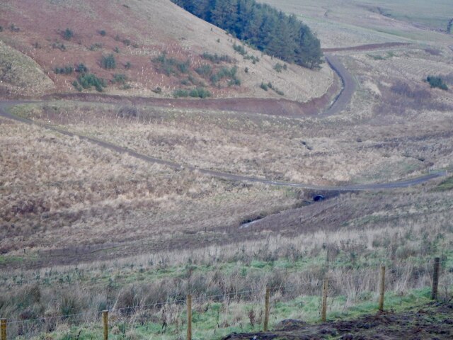
Black Moor Plantation is a picturesque woodland located in Roxburghshire, Scotland. Spanning over a vast area, this forest covers more than 500 acres of land and is known for its stunning natural beauty. The plantation is situated in a remote and tranquil setting, offering visitors a peaceful retreat from the bustling city life.
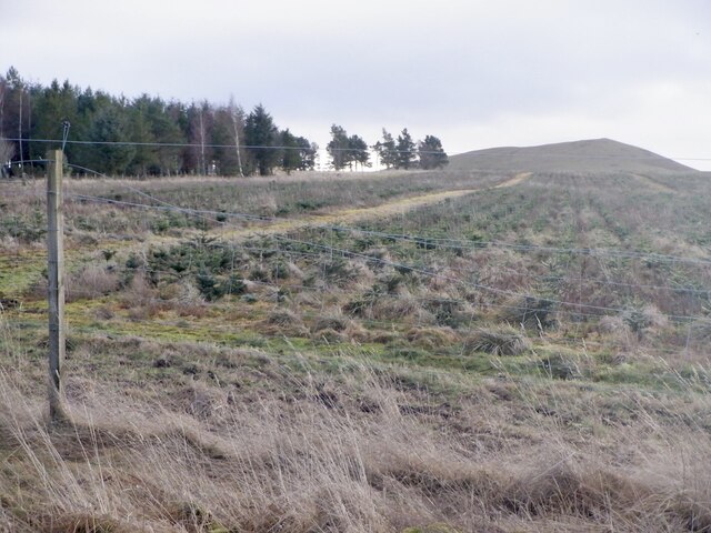
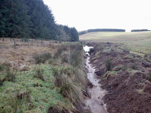
The woodland is primarily composed of native tree species such as oak, ash, beech, and birch, creating a diverse and rich ecosystem. The dense foliage provides a habitat for a wide range of wildlife, including various bird species, small mammals, and insects. Nature enthusiasts can enjoy birdwatching or exploring the woodland's trails, which offer breathtaking views of the surrounding landscape.
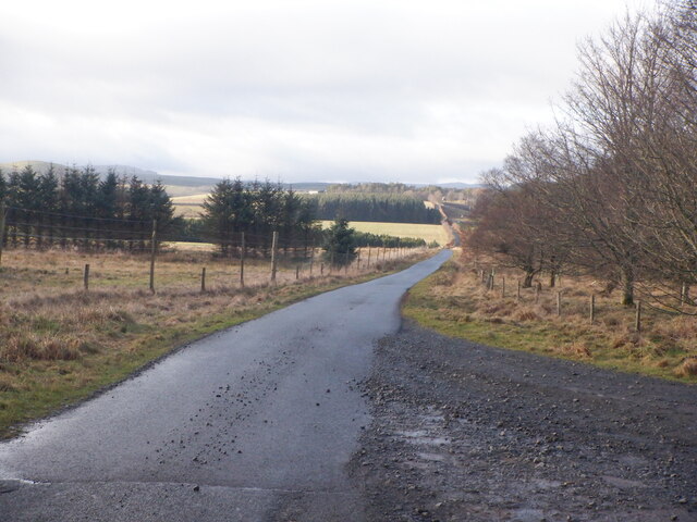
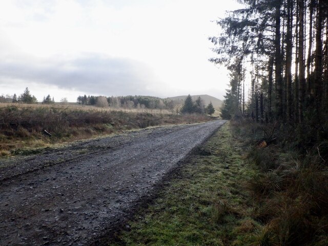
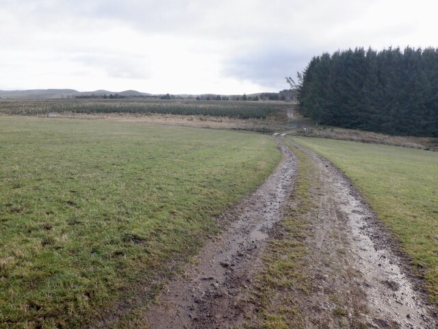
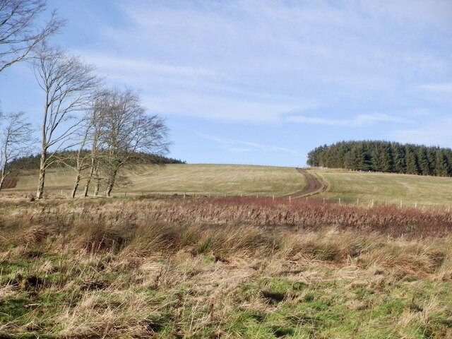
Black Moor Plantation is also popular among outdoor enthusiasts and hikers due to its extensive network of walking paths. These well-maintained trails meander through the forest, allowing visitors to immerse themselves in the natural wonders of the area. With its rolling hills, babbling streams, and enchanting flora, the plantation offers a unique opportunity to connect with nature.
In addition to its natural beauty, Black Moor Plantation has historical significance. The woodland was originally part of a larger estate and has been managed for timber production for centuries. Today, it continues to be sustainably managed, ensuring the preservation of the woodland's ecological integrity while meeting the demands for timber resources.
Overall, Black Moor Plantation in Roxburghshire is a remarkable woodland that combines natural beauty, biodiversity, and historical significance. Its tranquil setting, diverse flora and fauna, and well-maintained trails make it an ideal destination for nature lovers, hikers, and those seeking a peaceful retreat in the heart of Scotland.
If you have any feedback on the listing, please let us know in the comments section below.
Black Moor Plantation Images
Images are sourced within 2km of 55.40509/-2.4436104 or Grid Reference NT7212. Thanks to Geograph Open Source API. All images are credited.


Black Moor Plantation is located at Grid Ref: NT7212 (Lat: 55.40509, Lng: -2.4436104)
Unitary Authority: The Scottish Borders
Police Authority: The Lothians and Scottish Borders
What 3 Words
///litigate.dunk.pleasing. Near Jedburgh, Scottish Borders
Nearby Locations
Related Wikis

Edgerston
Edgerston is a village and an estate about 4 miles (6.4 km) north of the Anglo-Scottish border, and 8 miles (13 km) south of Jedburgh in the Scottish Borders...

Pennymuir Roman camps
The Pennymuir Roman camps are situated southeast of Jedburgh in the Scottish Borders area of Scotland, near the Anglo-Scottish border, in the former Roxburghshire...

Camptown, Scottish Borders
Camptown is a small settlement on the A68, in the Scottish Borders area of Scotland, 5m (8 km) south of Jedburgh, and the same distance south to Carter...

Raid of the Redeswire
The Raid of the Redeswire, also known as the Redeswire Fray, was a border skirmish between England and Scotland on 7 July 1575 which took place at Carter...
Have you been to Black Moor Plantation?
Leave your review of Black Moor Plantation below (or comments, questions and feedback).