The Back Bullers
Lake, Pool, Pond, Freshwater Marsh in Roxburghshire
Scotland
The Back Bullers
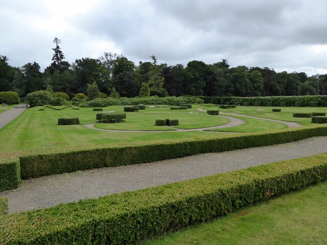
The Back Bullers, located in Roxburghshire, is a picturesque freshwater ecosystem encompassing a lake, pool, pond, and freshwater marsh. Spanning over a significant area, it offers a diverse range of habitats for various plant and animal species.
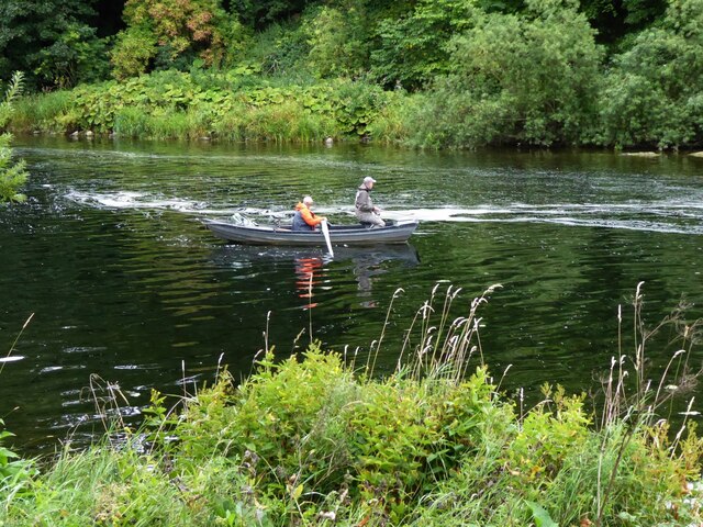
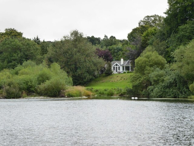
The lake, with its calm and serene waters, serves as a vital refuge for numerous aquatic organisms. It sustains a thriving population of fish, including trout and perch, attracting anglers from far and wide. The lake's tranquil ambiance also makes it a popular spot for recreational activities such as boating and canoeing.
Adjacent to the lake, a pool can be found, characterized by its shallower depth and slower water flow. This creates an ideal environment for water-loving plants like water lilies and reeds. The pool attracts a plethora of bird species like ducks, moorhens, and swans, providing ornithologists with ample opportunities for observation and study.
A smaller pond is nestled amidst the lush vegetation surrounding the lake. This secluded area is home to a diverse array of amphibians, including frogs and newts. The pond's calm waters and abundant plant life provide ample breeding grounds and shelter for these fascinating creatures.
Finally, a freshwater marsh completes the ecosystem, acting as a natural filter system for the surrounding water bodies. The marsh is characterized by its waterlogged soil and abundant vegetation, which includes sedges, rushes, and bulrushes. This habitat supports a wide range of insects, birds, and small mammals, playing a crucial role in maintaining the overall ecological balance.
The Back Bullers, with its combined elements of lake, pool, pond, and freshwater marsh, offers a rich and diverse natural environment, providing a haven for various flora and fauna. It serves as a valuable resource for scientific research, recreational activities, and wildlife conservation efforts in Roxburghshire.
If you have any feedback on the listing, please let us know in the comments section below.
The Back Bullers Images
Images are sourced within 2km of 55.599534/-2.4391695 or Grid Reference NT7234. Thanks to Geograph Open Source API. All images are credited.


The Back Bullers is located at Grid Ref: NT7234 (Lat: 55.599534, Lng: -2.4391695)
Unitary Authority: The Scottish Borders
Police Authority: The Lothians and Scottish Borders
What 3 Words
///spurted.ripe.dunes. Near Kelso, Scottish Borders
Related Wikis

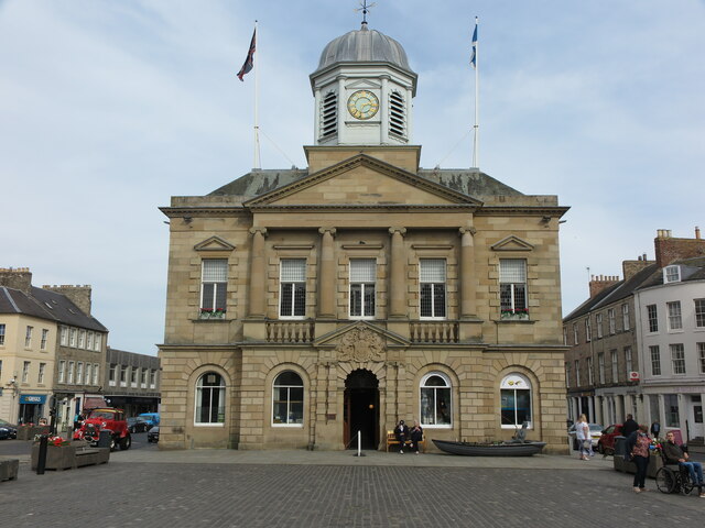
Kelso Town Hall
Kelso Town Hall is a municipal building in The Square, Kelso, Scotland. The building, which was the headquarters of Kelso Burgh Council, is a Category...

Kelso, Scottish Borders
Kelso is a market town in the Scottish Borders area of Scotland. Within the boundaries of the historic county of Roxburghshire, it lies where the rivers...

Kelso Hospital
Kelso Hospital, also known as Inch Hospital, is a health facility at Inch Road in Kelso, Scotland. It is managed by NHS Borders. == History == The hospital...

Corn Exchange, Kelso
The Corn Exchange is a commercial building in Woodmarket, Kelso, Scottish Borders, Scotland. The structure, which accommodates a health clinic, a dental...
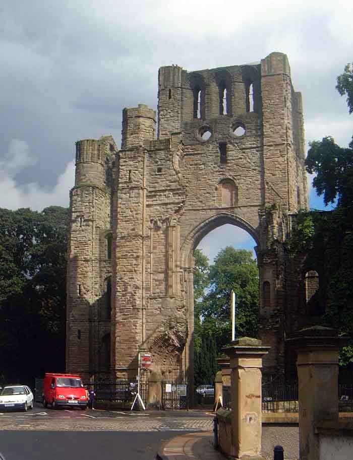
Kelso Abbey
Kelso Abbey is a ruined Scottish abbey in Kelso, Scotland. It was founded in the 12th century by a community of Tironensian monks first brought to Scotland...
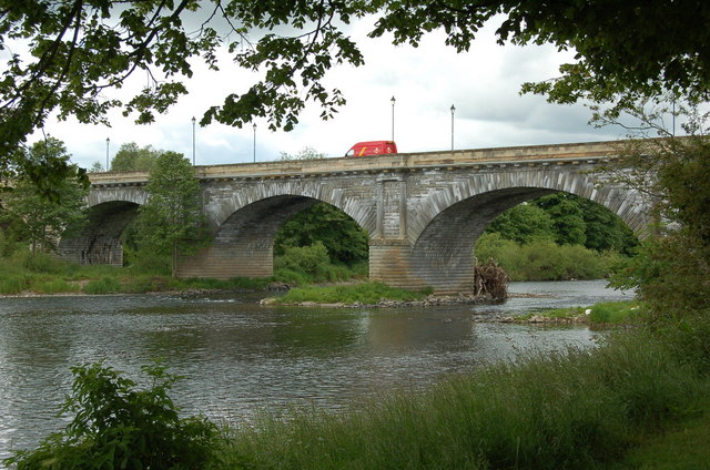
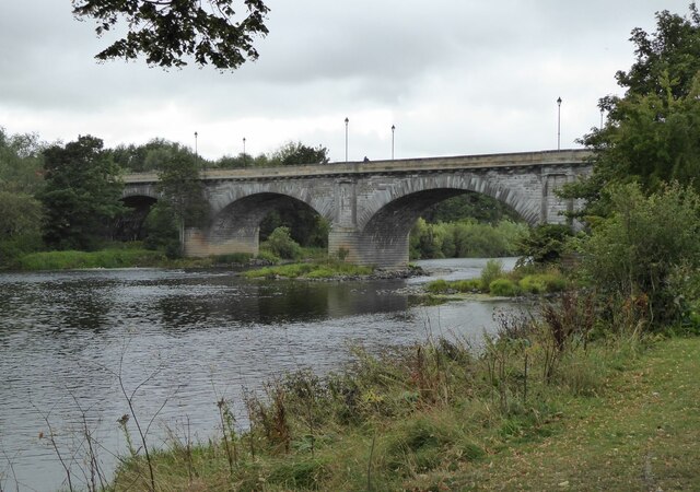
Kelso Bridge
The Kelso Bridge or Rennie's Bridge is a bridge across the River Tweed at Kelso, in the Scottish Borders. == History == === Old bridge === The first bridge...
Roxburgh
Roxburgh () is a civil parish and formerly a royal burgh, in the historic county of Roxburghshire in the Scottish Borders, Scotland. It was an important...

Capture of Roxburgh (1460)
The capture of Roxburgh was a siege that took place during the Anglo-Scottish Wars. James II of Scotland had started a campaign to recapture Roxburgh and...
Nearby Amenities
Located within 500m of 55.599534,-2.4391695Have you been to The Back Bullers?
Leave your review of The Back Bullers below (or comments, questions and feedback).