Kitalnaekit Wood
Wood, Forest in Kincardineshire
Scotland
Kitalnaekit Wood
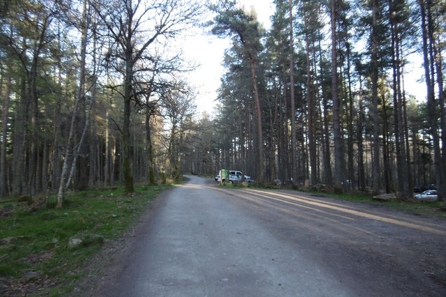
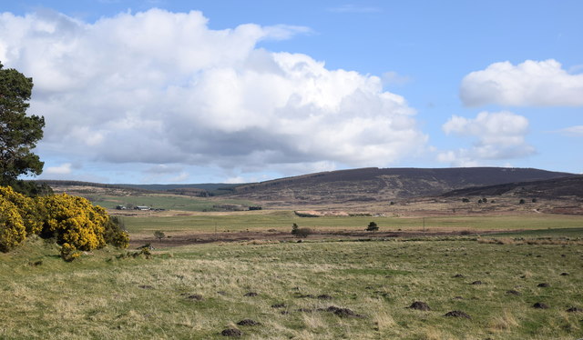
Kitalnaekit Wood is a picturesque forest located in Kincardineshire, Scotland. This enchanting woodland covers an area of approximately 200 acres and is nestled within the stunning countryside. The wood is known for its diverse range of flora and fauna, making it a popular destination for nature enthusiasts and wildlife lovers.
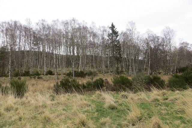
The forest is predominantly composed of native Scottish tree species, such as oak, birch, and pine. These trees create a dense canopy, providing a haven for various bird species, including woodpeckers, owls, and finches. In addition, the forest is home to a variety of mammals, such as deer, foxes, and squirrels, which can often be spotted foraging among the trees.
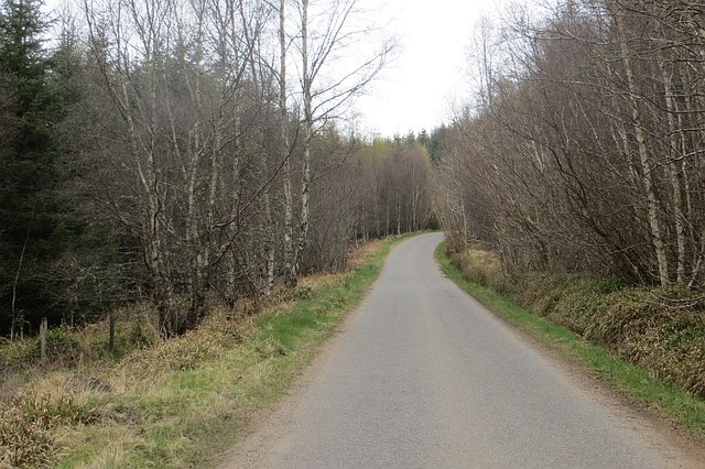
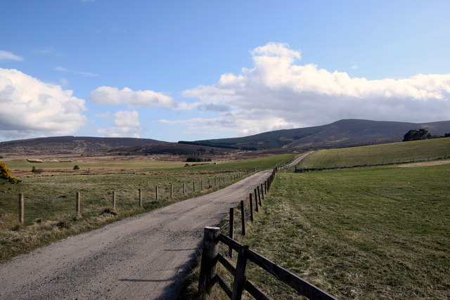
Kitalnaekit Wood offers numerous walking trails, allowing visitors to explore its natural beauty at their own pace. The well-maintained paths wind through the woodland, providing glimpses of breathtaking scenery and tranquil spots for relaxation. Along the way, interpretive signs provide information about the local wildlife and the history of the forest.
The wood also has a rich cultural heritage, with evidence of ancient settlements and archaeological sites. It is believed that the area has been inhabited for thousands of years, and remnants of prehistoric structures have been discovered within the forest.
Kitalnaekit Wood truly offers a serene and immersive experience for those seeking a connection with nature. With its stunning landscapes, diverse wildlife, and historical significance, it is a must-visit destination for anyone exploring Kincardineshire.
If you have any feedback on the listing, please let us know in the comments section below.
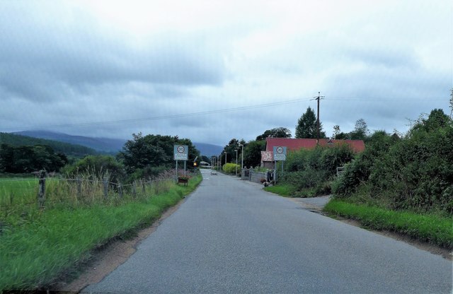
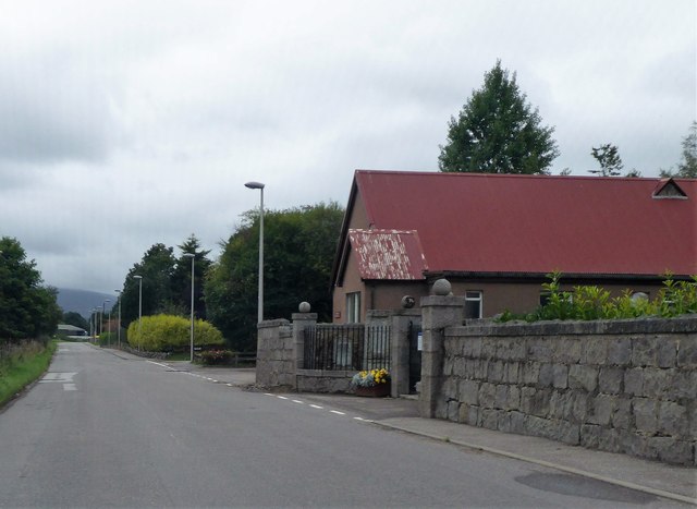
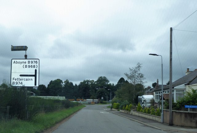
Kitalnaekit Wood Images
Images are sourced within 2km of 57.02626/-2.5128921 or Grid Reference NO6892. Thanks to Geograph Open Source API. All images are credited.


Kitalnaekit Wood is located at Grid Ref: NO6892 (Lat: 57.02626, Lng: -2.5128921)
Unitary Authority: Aberdeenshire
Police Authority: North East
What 3 Words
///plotter.waiters.link. Near Banchory, Aberdeenshire
Nearby Locations
Related Wikis

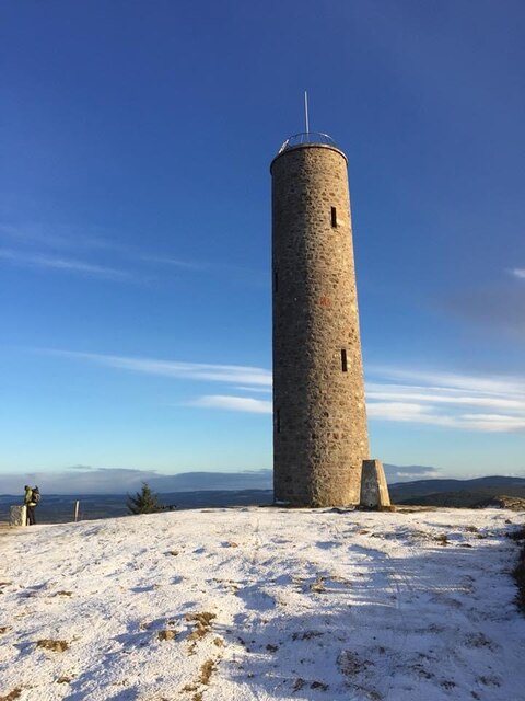
Scolty Hill
Scolty Hill is a small hill south of the Deeside town, Banchory. Its best known feature is the 20m tall tower monument, built in 1840 as a memorial to...

Strachan, Aberdeenshire
Strachan is a village in Aberdeenshire, Scotland that lies along the Water of Feugh, a tributary of the River Dee, Aberdeenshire, a few miles southwest...

Braehead, Banchory
Braehead, Banchory is a proposed major housing development to the south of Banchory, Aberdeenshire, Scotland. The site is home to Braehead farm, formerly...

Dee Street Halt railway station
Dee Street Halt railway station was a short-lived stopping place on the Aberdeen and Ballater railway branch. It was situated at 17 miles 30 chains (28...
Nearby Amenities
Located within 500m of 57.02626,-2.5128921Have you been to Kitalnaekit Wood?
Leave your review of Kitalnaekit Wood below (or comments, questions and feedback).