Cammie Wood

Wood, Forest in Kincardineshire

Scotland

Cammie Wood

Pine tree west of the track Scots pine on the west of the Stockmounth track.
Pine tree west of the track Credit: Scott Cormie

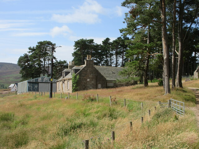
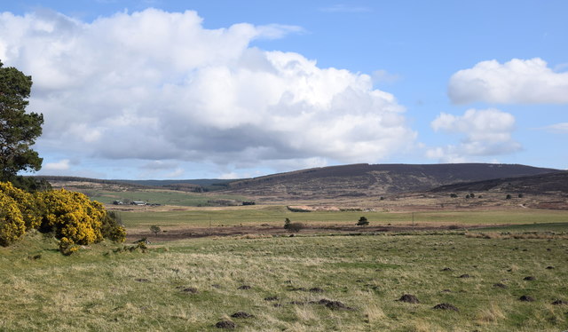
Cammie Wood is a picturesque forest located in Kincardineshire, Scotland. Covering an area of approximately 200 acres, it is a popular destination for nature lovers, hikers, and outdoor enthusiasts. The wood is situated in a rural area, surrounded by rolling hills and stunning landscapes, providing visitors with a tranquil and serene atmosphere.

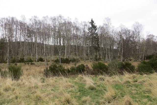
The forest is primarily composed of native Scottish trees such as oak, birch, and pine, creating a diverse and vibrant ecosystem. It is home to a variety of wildlife, including red deer, foxes, and a wide array of bird species. Visitors often have the opportunity to observe these animals in their natural habitat, making it a perfect spot for wildlife enthusiasts.

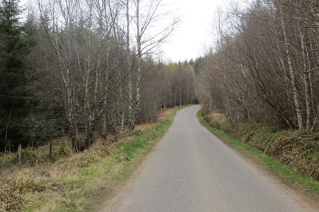
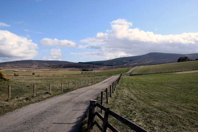
Numerous walking trails and paths wind through Cammie Wood, allowing visitors to explore the forest at their own pace. The trails vary in difficulty, catering to both casual walkers and more experienced hikers. The forest also offers designated picnic areas, making it an ideal spot for a family outing or a leisurely lunch amidst nature.

Cammie Wood is well-maintained and managed by local authorities, ensuring visitors can enjoy a safe and pleasant experience. It is easily accessible by car, with ample parking available near the entrance. The forest is open to the public throughout the year, although it is recommended to check for any temporary closures or restrictions, particularly during adverse weather conditions.

Overall, Cammie Wood in Kincardineshire offers a beautiful natural retreat, providing a peaceful escape from the hustle and bustle of daily life. Whether you are seeking a scenic walk, a chance to observe wildlife, or simply a place to reconnect with nature, Cammie Wood is a wonderful destination to explore.

If you have any feedback on the listing, please let us know in the comments section below.

Cammie Wood Images

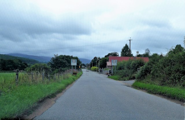
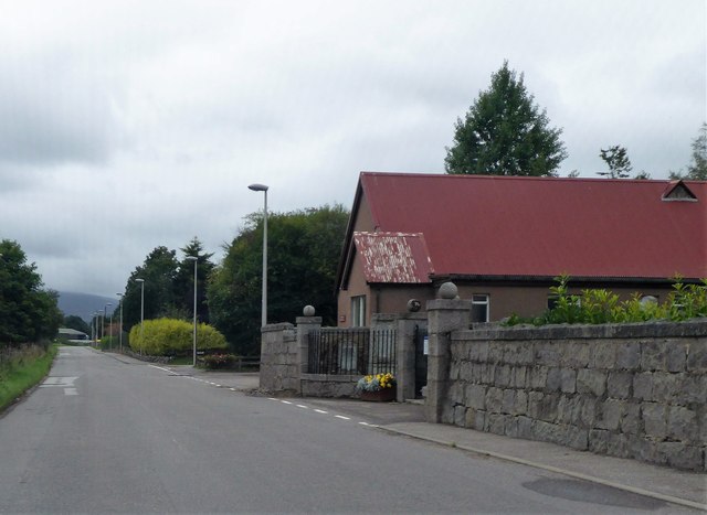
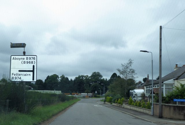
Images are sourced within 2km of 57.017601/-2.5128222 or Grid Reference NO6891. Thanks to Geograph Open Source API. All images are credited.

Pine tree west of the track Scots pine on the west of the Stockmounth track.
Pine tree west of the track
Scots pine on the west of the Stockmounth track.
Cattle grid near Pitreadie Cattle grid on the track above Pitreadie.
Cattle grid near Pitreadie
Cattle grid on the track above Pitreadie.
Old farmhouse at Pitreadie The derelict farmhouse at Pitreadie viewed from the track to the north.
Old farmhouse at Pitreadie
The derelict farmhouse at Pitreadie viewed from the track to the north.
Twisty track to the car park... ...on the way back from Kerloch summit.
Twisty track to the car park...
...on the way back from Kerloch summit.
Forestry track with gravel pit
Cattle grid and deer gate
Birchwood, Blackness
Craig of Affrusk Wood A well forested bit of Highland Kincardineshire.
Craig of Affrusk Wood
A well forested bit of Highland Kincardineshire.
Water trough, in memory of a local Boer War soldier d.1900 At a high point on the B974, between Banchory and Strachan. The wood on the skyline is on the southern flank of Scolty Hill.
Water trough, in memory of a local Boer War soldier d.1900
At a high point on the B974, between Banchory and Strachan. The wood on the skyline is on the southern flank of Scolty Hill.
Welcome to Strachan On the B974 from Banchory; cemetery and village hall on right.
Welcome to Strachan
On the B974 from Banchory; cemetery and village hall on right.
Gated entrance to Strachan cemetery Adjacent to the village hall.
Gated entrance to Strachan cemetery
Adjacent to the village hall.
Gateside Farm, Strachan Elevated slurry tank by B974.
Gateside Farm, Strachan
Elevated slurry tank by B974.
Road Junction sign in Strachan B974 Fettercairn/B976 Aboyne.
Road Junction sign in Strachan
B974 Fettercairn/B976 Aboyne.
Bowbutts Row For Sale notice, Strachan Building Plot on offer; off Bowbutts Brae at its junction with B974.
Bowbutts Row For Sale notice, Strachan
Building Plot on offer; off Bowbutts Brae at its junction with B974.
Former Free Church, Strachan Converted to a 2-storey residence in 2000
(see <span class="nowrap"><a title="http://www.scottishchurches.org.uk/sites/site/id/1494/image/8830/name" rel="nofollow ugc noopener" href="http://www.scottishchurches.org.uk/sites/site/id/1494/image/8830/name">Link</a><img style="margin-left:2px;" alt="External link" title="External link - shift click to open in new window" src="https://s1.geograph.org.uk/img/external.png" width="10" height="10"/></span>
/Former+Free+Church%2C+Strachan+Strachan+Grampian) 
Parked cars suggest some current inhabitants.
Former Free Church, Strachan
Converted to a 2-storey residence in 2000 (see LinkExternal link /Former+Free+Church%2C+Strachan+Strachan+Grampian) Parked cars suggest some current inhabitants.
Upland landscape The Burn of Curran runs through boggy ground and much farther back are the slopes of Shillofad hill (elev. 365 m).
Upland landscape
The Burn of Curran runs through boggy ground and much farther back are the slopes of Shillofad hill (elev. 365 m).
Track to Pitreadie farm... which is over the brow of the hill.
Track to Pitreadie farm...
which is over the brow of the hill.
Former free kirk, Strachan Built 1843, just after the Disruption and now in residential use.  There is a Canmore record (317317) but no details: <span class="nowrap"><a title="https://canmore.org.uk/site/317317/strachan-united-free-church" rel="nofollow ugc noopener" href="https://canmore.org.uk/site/317317/strachan-united-free-church">Link</a><img style="margin-left:2px;" alt="External link" title="External link - shift click to open in new window" src="https://s1.geograph.org.uk/img/external.png" width="10" height="10"/></span> .
Former free kirk, Strachan
Built 1843, just after the Disruption and now in residential use. There is a Canmore record (317317) but no details: LinkExternal link .
Show me another place!

Cammie Wood is located at Grid Ref: NO6891 (Lat: 57.017601, Lng: -2.5128222)

Unitary Authority: Aberdeenshire

Police Authority: North East

What 3 Words

///alien.presumes.paler. Near Banchory, Aberdeenshire

Related Wikis

Strachan, Aberdeenshire

Strachan is a village in Aberdeenshire, Scotland that lies along the Water of Feugh, a tributary of the River Dee, Aberdeenshire, a few miles southwest...

Scolty Hill

Scolty Hill is a small hill south of the Deeside town, Banchory. Its best known feature is the 20m tall tower monument, built in 1840 as a memorial to...

Braehead, Banchory

Braehead, Banchory is a proposed major housing development to the south of Banchory, Aberdeenshire, Scotland. The site is home to Braehead farm, formerly...

Water of Feugh

The Water of Feugh (pronounced:few-ikh) is a stream in Aberdeenshire that is the largest tributary to the River Dee. This stream rises in the Grampian...

Nearby Amenities

Located within 500m of 57.017601,-2.5128222
Power: pole
Lat/Long: 57.0202299/-2.5138752
Power: pole
Lat/Long: 57.0205591/-2.5128397
Power: pole
Lat/Long: 57.0208594/-2.5119194
Power: pole
Lat/Long: 57.0212205/-2.510848
Power: pole
Lat/Long: 57.0215486/-2.5098956
The data included in this document is from www.openstreetmap.org. The data is made available under ODbL.

Have you been to Cammie Wood?

Leave your review of Cammie Wood below (or comments, questions and feedback).