Gallybank Plantation

Wood, Forest in Kincardineshire

Scotland

Gallybank Plantation

Pine tree west of the track Scots pine on the west of the Stockmounth track.
Pine tree west of the track Credit: Scott Cormie

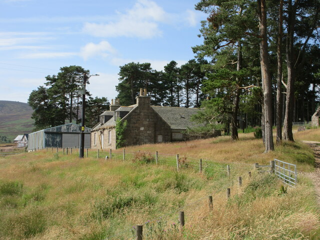
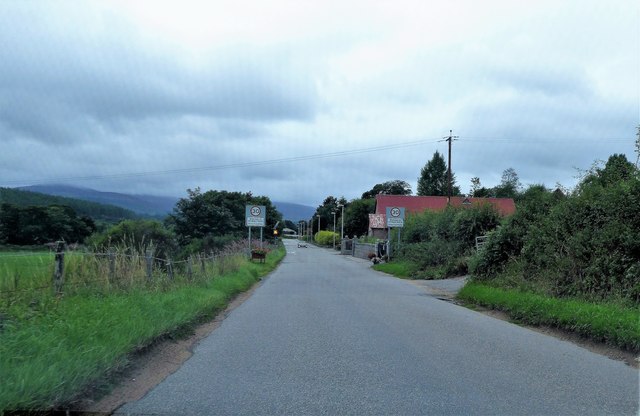
Gallybank Plantation is a picturesque woodland area located in Kincardineshire, Scotland. Spanning over a vast expanse of land, the plantation is known for its dense forest and beautiful scenery. It is situated near the village of Marykirk, just a few miles away from the River North Esk.

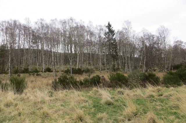
The plantation is primarily made up of various species of trees, including oak, beech, and pine. These trees provide a diverse habitat for a wide range of flora and fauna, making it a popular destination for nature enthusiasts and wildlife photographers. The forest floor is adorned with a carpet of wildflowers, adding bursts of color to the landscape.

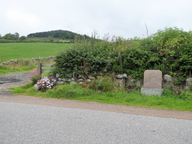
Visitors to Gallybank Plantation can explore the numerous walking trails that wind through the woodland, offering stunning views at every turn. The trails are well-maintained and suitable for all levels of fitness, making them accessible to both casual walkers and hikers seeking a more challenging adventure.

In addition to its natural beauty, Gallybank Plantation also has historical significance. The woodland was once a part of the larger Marykirk Estate and has been carefully preserved over the years to protect its unique ecosystem and cultural heritage.

Overall, Gallybank Plantation in Kincardineshire is a captivating destination for those seeking tranquility, natural beauty, and a glimpse into Scotland's rich history. Whether it's a leisurely stroll or an immersive exploration, visitors are sure to be enchanted by the charm and serenity of this remarkable woodland.

If you have any feedback on the listing, please let us know in the comments section below.

Gallybank Plantation Images

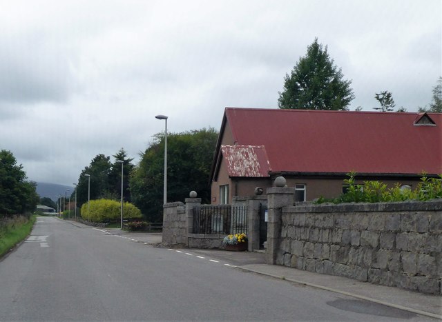
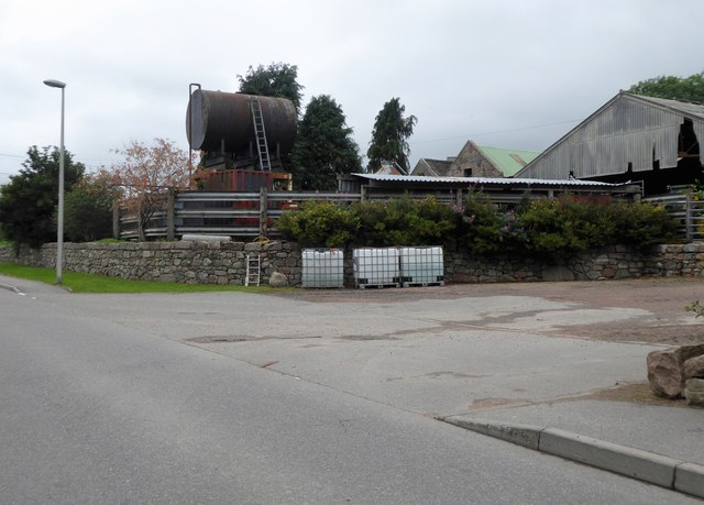
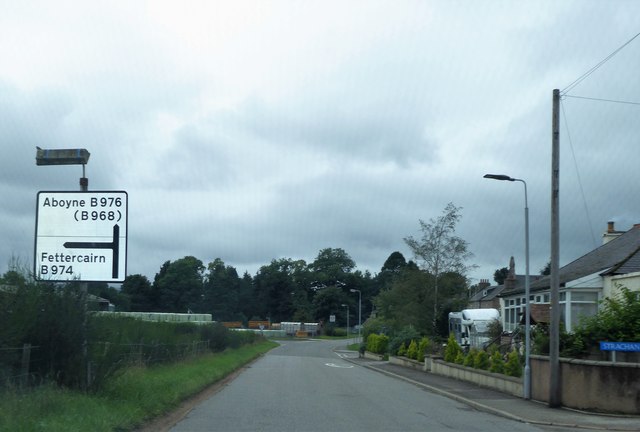
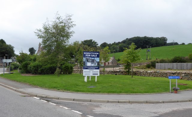
Images are sourced within 2km of 57.012158/-2.5191034 or Grid Reference NO6891. Thanks to Geograph Open Source API. All images are credited.

Pine tree west of the track Scots pine on the west of the Stockmounth track.
Pine tree west of the track
Scots pine on the west of the Stockmounth track.
Cattle grid near Pitreadie Cattle grid on the track above Pitreadie.
Cattle grid near Pitreadie
Cattle grid on the track above Pitreadie.
Old farmhouse at Pitreadie The derelict farmhouse at Pitreadie viewed from the track to the north.
Old farmhouse at Pitreadie
The derelict farmhouse at Pitreadie viewed from the track to the north.
Twisty track to the car park... ...on the way back from Kerloch summit.
Twisty track to the car park...
...on the way back from Kerloch summit.
Forestry track with gravel pit
Cattle grid and deer gate
Upland scenery south east of Strachan
Track on the way to Melmannoch Hill Heading south through Pitreadie Farm, the track follows the edge of the wood until now, but here is about to enter the wood. The track leads to the top of Melmannoch. You would have had a photo of the top in <a href="https://www.geograph.org.uk/gridref/NO6888">NO6888</a>, but when I arrived there I found my camera battery was flat!
Track on the way to Melmannoch Hill
Heading south through Pitreadie Farm, the track follows the edge of the wood until now, but here is about to enter the wood. The track leads to the top of Melmannoch. You would have had a photo of the top in NO6888, but when I arrived there I found my camera battery was flat!
Another view of the Slacks
Rocks like building blocks Some rocks piled like building blocks on the fringe of Slacks of Pitreadie
Rocks like building blocks
Some rocks piled like building blocks on the fringe of Slacks of Pitreadie
Gully near the Slacks of Pitreadie Looking north-eastwards down a gully from the Pitreadie track.
Gully near the Slacks of Pitreadie
Looking north-eastwards down a gully from the Pitreadie track.
Birchwood, Blackness
Water trough, in memory of a local Boer War soldier d.1900 At a high point on the B974, between Banchory and Strachan. The wood on the skyline is on the southern flank of Scolty Hill.
Water trough, in memory of a local Boer War soldier d.1900
At a high point on the B974, between Banchory and Strachan. The wood on the skyline is on the southern flank of Scolty Hill.
Welcome to Strachan On the B974 from Banchory; cemetery and village hall on right.
Welcome to Strachan
On the B974 from Banchory; cemetery and village hall on right.
Gated entrance to Strachan cemetery Adjacent to the village hall.
Gated entrance to Strachan cemetery
Adjacent to the village hall.
Gateside Farm, Strachan Elevated slurry tank by B974.
Gateside Farm, Strachan
Elevated slurry tank by B974.
Road Junction sign in Strachan B974 Fettercairn/B976 Aboyne.
Road Junction sign in Strachan
B974 Fettercairn/B976 Aboyne.
Bowbutts Row For Sale notice, Strachan Building Plot on offer; off Bowbutts Brae at its junction with B974.
Bowbutts Row For Sale notice, Strachan
Building Plot on offer; off Bowbutts Brae at its junction with B974.
Show me another place!

Gallybank Plantation is located at Grid Ref: NO6891 (Lat: 57.012158, Lng: -2.5191034)

Unitary Authority: Aberdeenshire

Police Authority: North East

What 3 Words

///feasts.perfume.divorcing. Near Banchory, Aberdeenshire

Related Wikis

Strachan, Aberdeenshire

Strachan is a village in Aberdeenshire, Scotland that lies along the Water of Feugh, a tributary of the River Dee, Aberdeenshire, a few miles southwest...

Scolty Hill

Scolty Hill is a small hill south of the Deeside town, Banchory. Its best known feature is the 20m tall tower monument, built in 1840 as a memorial to...

Braehead, Banchory

Braehead, Banchory is a proposed major housing development to the south of Banchory, Aberdeenshire, Scotland. The site is home to Braehead farm, formerly...

Water of Feugh

The Water of Feugh (pronounced:few-ikh) is a stream in Aberdeenshire that is the largest tributary to the River Dee. This stream rises in the Grampian...

Have you been to Gallybank Plantation?

Leave your review of Gallybank Plantation below (or comments, questions and feedback).