Coldside Plantation
Wood, Forest in Roxburghshire
Scotland
Coldside Plantation
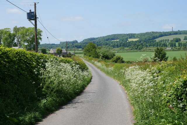
Coldside Plantation is a picturesque woodland located in Roxburghshire, Scotland. Spanning over a vast area, the plantation is known for its dense and diverse forest cover, making it a haven for nature enthusiasts and hikers alike.
The plantation is primarily composed of a mixture of deciduous and coniferous trees, including oak, beech, pine, and spruce species. This combination of trees creates a harmonious blend of colors throughout the year, with vibrant greens in the summer and a beautiful array of reds, yellows, and oranges during the autumn months.
The woodland is home to a wide range of wildlife, with numerous species of birds, mammals, and insects finding refuge within its borders. Birdwatchers can spot a variety of species, including woodpeckers, owls, and various songbirds. Mammals such as red squirrels, deer, and occasional sightings of foxes and badgers also inhabit the plantation.
A network of well-maintained trails winds through the plantation, offering visitors an opportunity to explore the natural beauty of the area. These trails cater to different levels of difficulty, ensuring that everyone, from casual strollers to experienced hikers, can enjoy the plantation at their own pace.
Coldside Plantation is a serene retreat for those seeking a peaceful escape from the hustle and bustle of everyday life. Its natural beauty, diverse flora and fauna, and well-maintained trails make it a must-visit destination for nature lovers and outdoor enthusiasts visiting Roxburghshire.
If you have any feedback on the listing, please let us know in the comments section below.
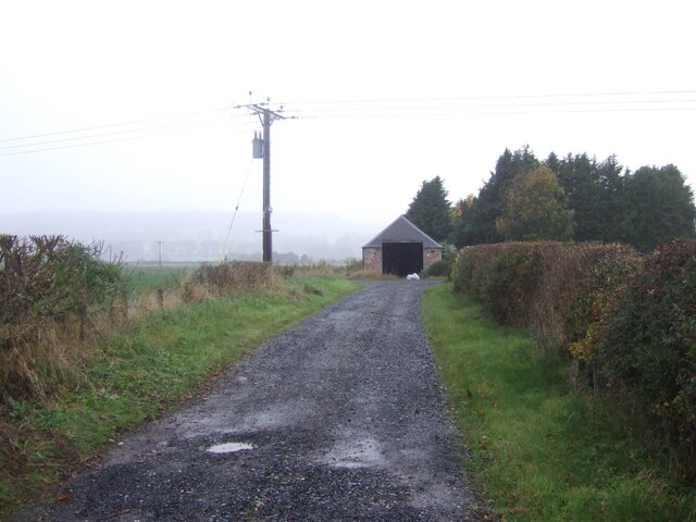
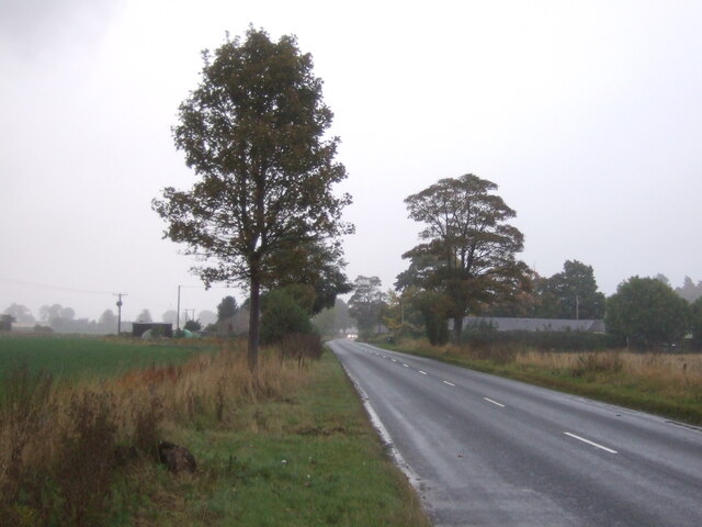
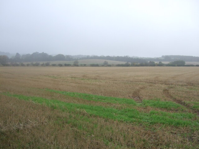
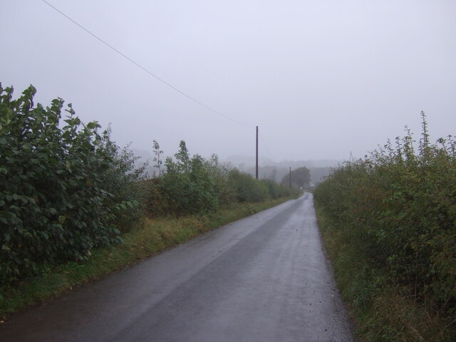
Coldside Plantation Images
Images are sourced within 2km of 55.505857/-2.4989054 or Grid Reference NT6823. Thanks to Geograph Open Source API. All images are credited.


Coldside Plantation is located at Grid Ref: NT6823 (Lat: 55.505857, Lng: -2.4989054)
Unitary Authority: The Scottish Borders
Police Authority: The Lothians and Scottish Borders
What 3 Words
///shunning.send.scooters. Near Jedburgh, Scottish Borders
Nearby Locations
Related Wikis
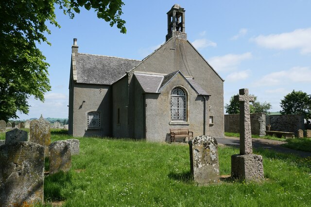
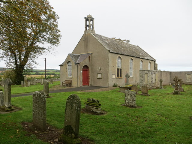
Crailing
Crailing is a village on the A698, in Teviotdale, 4m east of Jedburgh in the Scottish Borders area of Scotland, in the historic county of Roxburghshire...

Roxburghshire
Roxburghshire or the County of Roxburgh (Scottish Gaelic: Siorrachd Rosbroig) is a historic county and registration county in the Southern Uplands of Scotland...

Roxburgh, Ettrick and Lauderdale
Roxburgh, Ettrick and Lauderdale (Rosbrog, Eadaraig agus Srath Labhdair in Scottish Gaelic) is a lieutenancy area of Scotland. The lieutenancy area was...

Nisbet, Scottish Borders
Nisbet is a small hamlet on the B6400, in Roxburghshire, along the River Teviot, in the Scottish Borders area of Scotland. It is located 5.5 kilometres...

Crailinghall
Crailinghall is a village near Oxnam in the Scottish Borders area of Scotland, in the former Roxburghshire. Crailinghall is on the route of the St. Cuthbert...

Nisbet railway station
Nisbet railway station served the hamlet of Nisbet, Scottish Borders, Scotland from 1856 to 1948, on the Jedburgh Railway. == History == The station opened...

Jedfoot railway station
Jedfoot railway station served the town of Jedburgh, Scottish Borders, Scotland from 1856 to 1948 on the Jedburgh Railway. == History == The station opened...

Jed Water
The Jed Water is a river and a tributary of the River Teviot in the Borders region of Scotland. In total the Jed Water is over 21.75 miles (35.00 km) long...
Nearby Amenities
Located within 500m of 55.505857,-2.4989054Have you been to Coldside Plantation?
Leave your review of Coldside Plantation below (or comments, questions and feedback).