Whitelaw Plantation
Wood, Forest in Roxburghshire
Scotland
Whitelaw Plantation

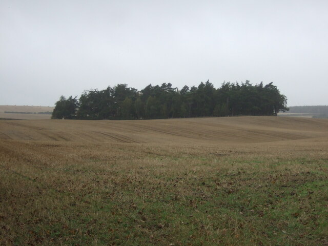
Whitelaw Plantation is a picturesque woodland located in Roxburghshire, a historic county in the Scottish Borders region of Scotland. Covering an area of approximately 500 acres, this enchanting forest is a haven for nature enthusiasts and outdoor adventurers alike.
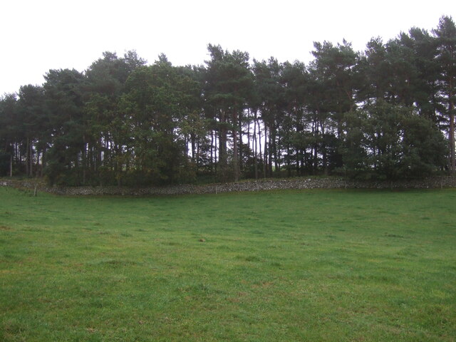
The plantation boasts a diverse range of tree species, including towering Scots pines, elegant beech trees, and majestic oaks. This rich variety of flora creates a vibrant and ever-changing landscape throughout the seasons, with vibrant bursts of color in the autumn and a lush green canopy in the summer. The dense foliage also provides a sanctuary for a wide array of wildlife, making it a prime spot for birdwatching and nature photography.
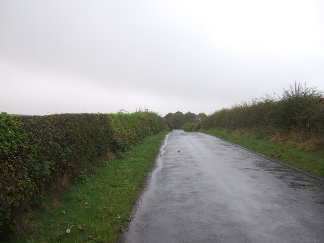
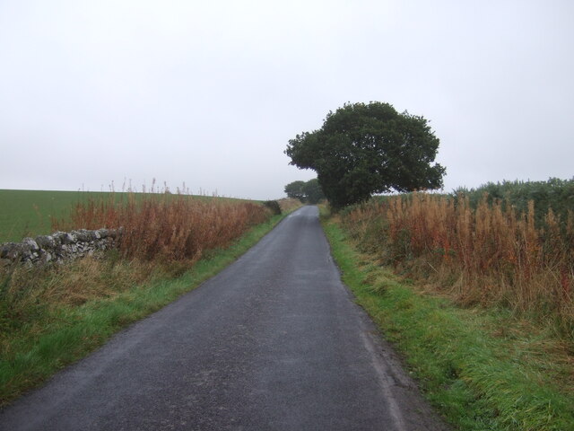
Visitors to Whitelaw Plantation can enjoy a network of well-maintained trails that wind their way through the woodland, offering scenic views and a chance to immerse oneself in nature. These paths cater to all levels of fitness, from leisurely strolls to more challenging hikes, and are suitable for individuals, families, and even four-legged companions.
Beyond its natural beauty, Whitelaw Plantation also holds historical significance. The estate was once a working plantation, producing timber and providing employment for the local community. Although the original buildings have long since disappeared, the remnants of old paths and boundary walls can still be found, hinting at the site's past.
Overall, Whitelaw Plantation offers a tranquil retreat from the hustle and bustle of modern life, allowing visitors to reconnect with nature and appreciate the beauty and tranquility of this remarkable woodland.
If you have any feedback on the listing, please let us know in the comments section below.
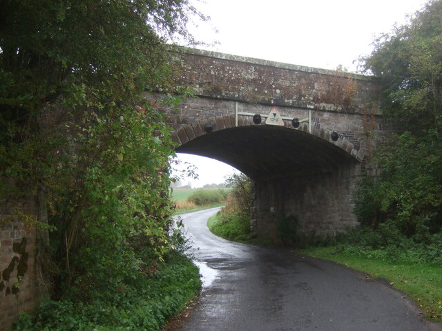
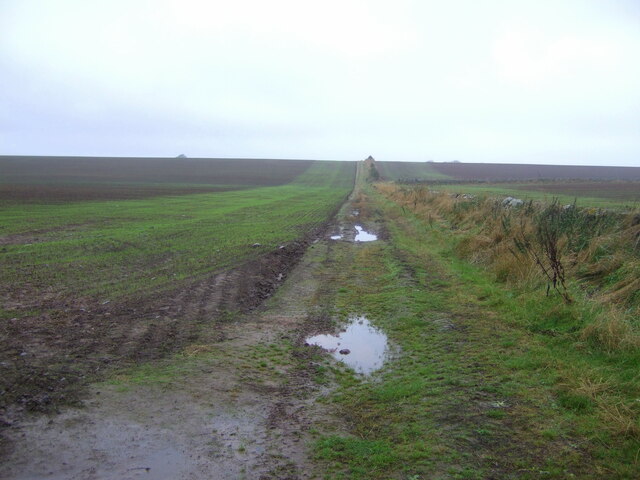
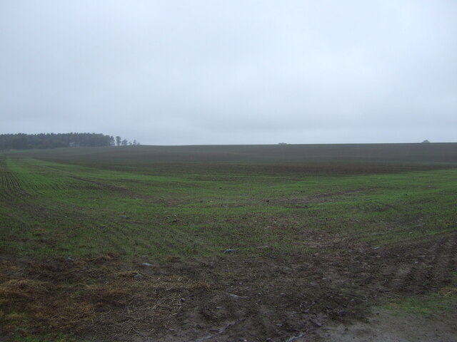
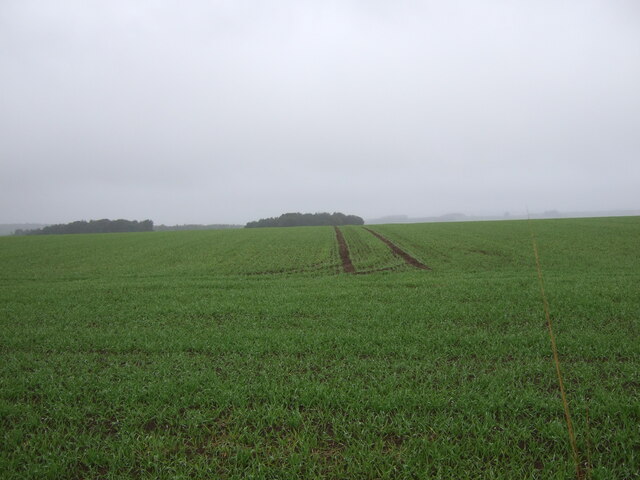
Whitelaw Plantation Images
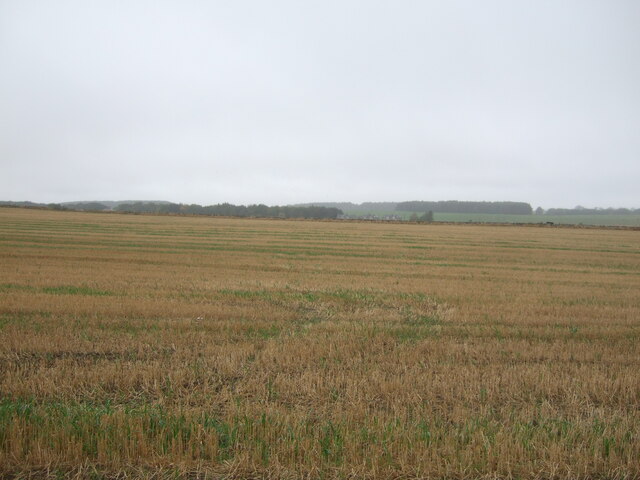
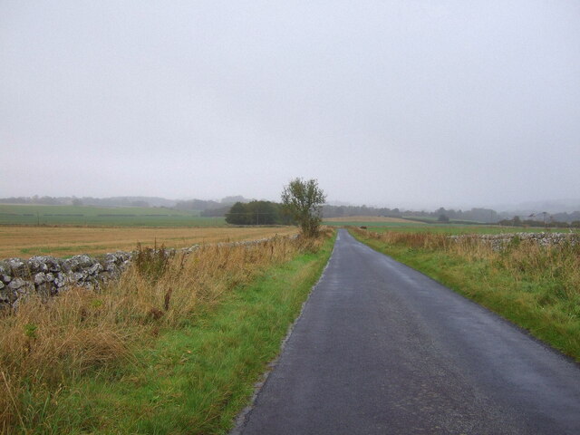
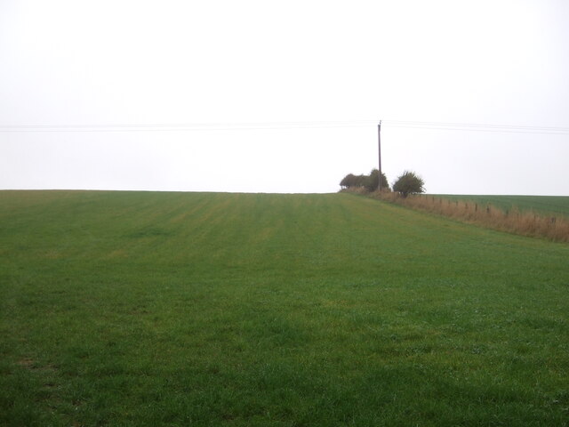
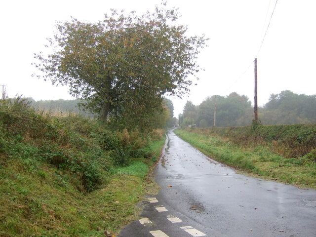
Images are sourced within 2km of 55.553412/-2.4934052 or Grid Reference NT6828. Thanks to Geograph Open Source API. All images are credited.


Whitelaw Plantation is located at Grid Ref: NT6828 (Lat: 55.553412, Lng: -2.4934052)
Unitary Authority: The Scottish Borders
Police Authority: The Lothians and Scottish Borders
What 3 Words
///alongside.siesta.snake. Near Maxwellheugh, Scottish Borders
Nearby Locations
Related Wikis

Kirkbank railway station
Kirkbank railway station served Old Ormiston, in the Scottish Borders, Scotland from 1856 to 1948 on the Jedburgh Railway. == History == The station opened...

Roxburgh railway station
Roxburgh railway station was on the Kelso Line, and served the village of Roxburgh, Scottish Borders, from 1850 to 1964. == History == The station was...

Wallace's Tower
Wallace's Tower is a ruined 16th-century L-plan tower house, about 3 miles (4.8 km) south west Kelso, Scottish Borders, Scotland, in Roxburgh, west of...

Roxburgh (village)
Roxburgh (Gaelic, Rosbrog) is a village off the A699, by the River Teviot, near Kelso in the Scottish Borders area of Scotland. It should not be confused...
Nearby Amenities
Located within 500m of 55.553412,-2.4934052Have you been to Whitelaw Plantation?
Leave your review of Whitelaw Plantation below (or comments, questions and feedback).