Belts of Collonach
Settlement in Kincardineshire
Scotland
Belts of Collonach
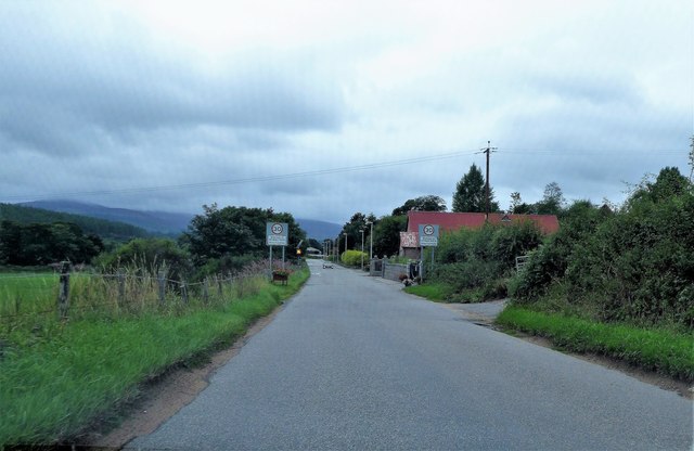
Belts of Collonach is a small picturesque village located in the county of Kincardineshire, Scotland. Situated approximately 10 miles northwest of the town of Laurencekirk, it is nestled amidst the stunning landscape of the Grampian Mountains.
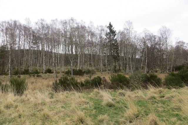
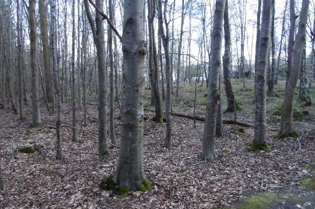
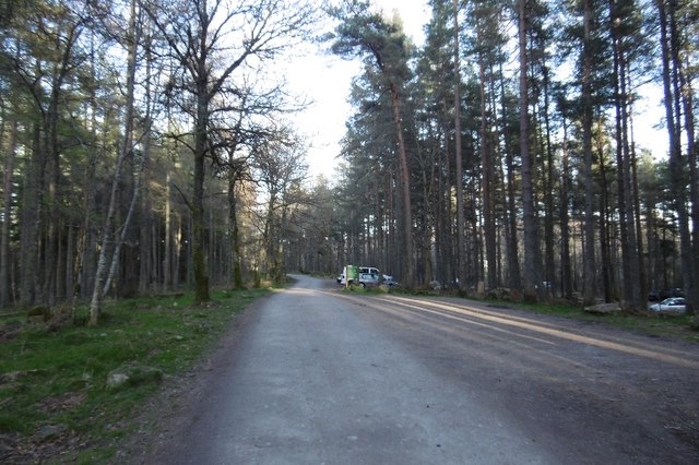
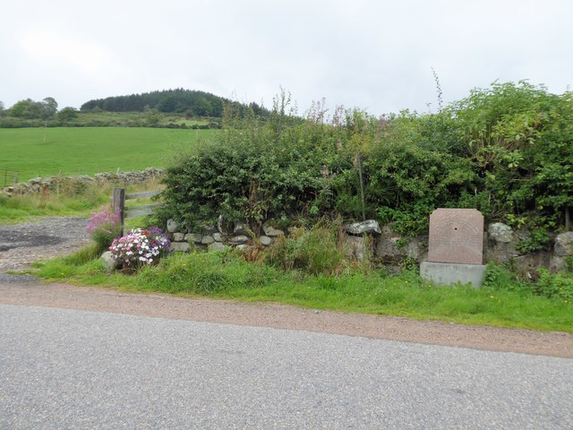
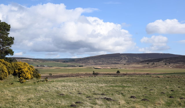
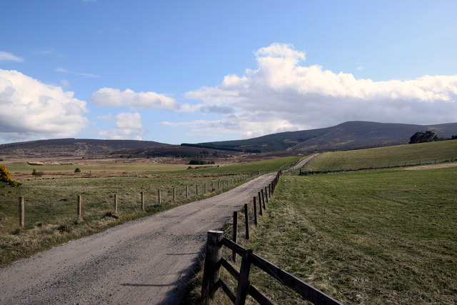
The village takes its name from the nearby Collonach Wood, which is known for its beautiful and extensive belts of trees. These belts not only provide a scenic backdrop to the village but also offer shelter and a rich habitat for diverse wildlife. The surrounding area is a haven for nature enthusiasts, with plenty of opportunities for walking, hiking, and wildlife spotting.
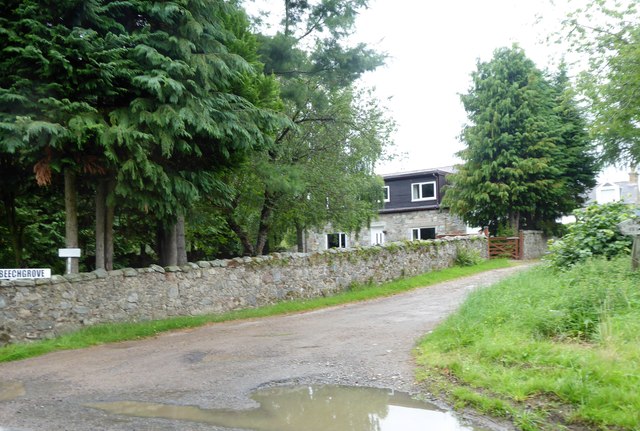
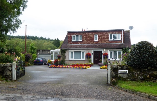
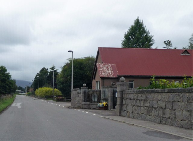
Belts of Collonach is a close-knit community with a small population. The village primarily consists of traditional stone-built houses, each with its own unique character. The peaceful and tranquil atmosphere makes it an ideal place for those seeking a serene countryside lifestyle.
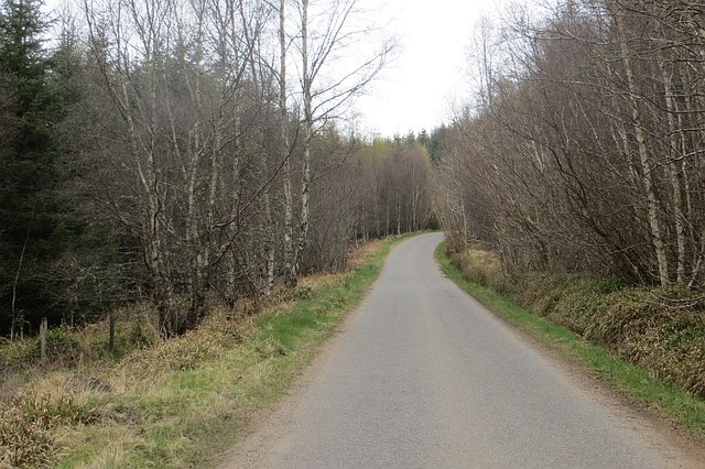
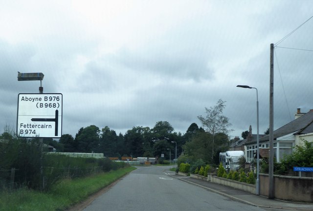
Although the village itself does not have many amenities, the nearby town of Laurencekirk offers a range of services including shops, schools, and healthcare facilities. Additionally, the area is well-connected by road, making it easily accessible to the rest of Kincardineshire and beyond.
For those seeking cultural and historical experiences, the nearby Drum Castle and Gardens provide a fascinating insight into the region's past. With its rich history and natural beauty, Belts of Collonach is a charming village that offers a peaceful retreat for residents and visitors alike.
If you have any feedback on the listing, please let us know in the comments section below.
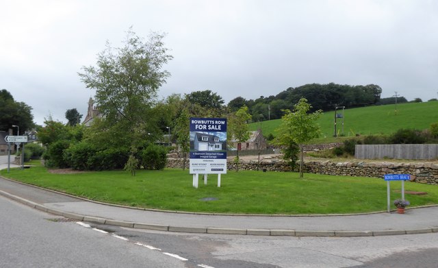
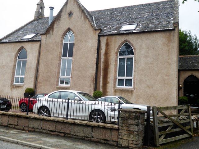
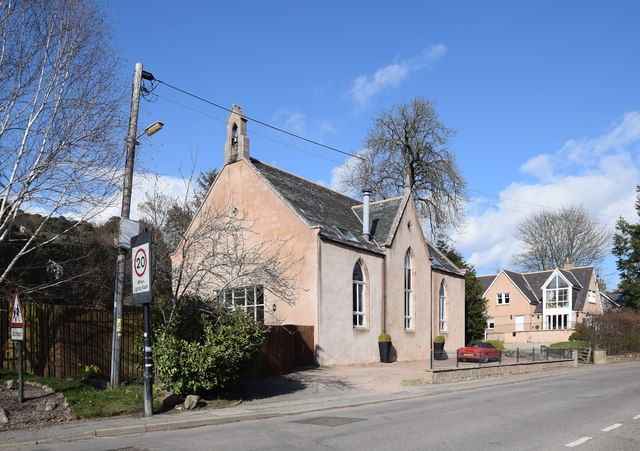
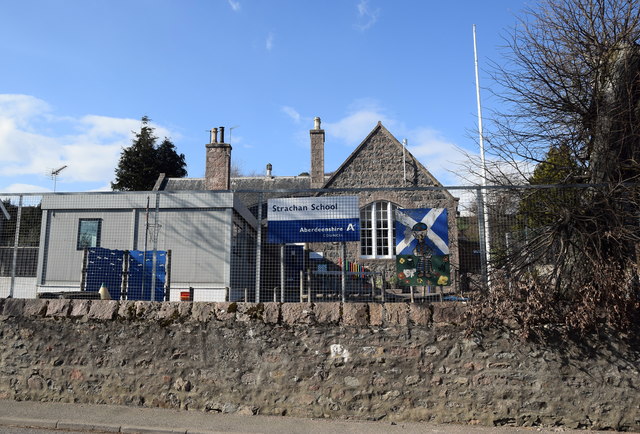
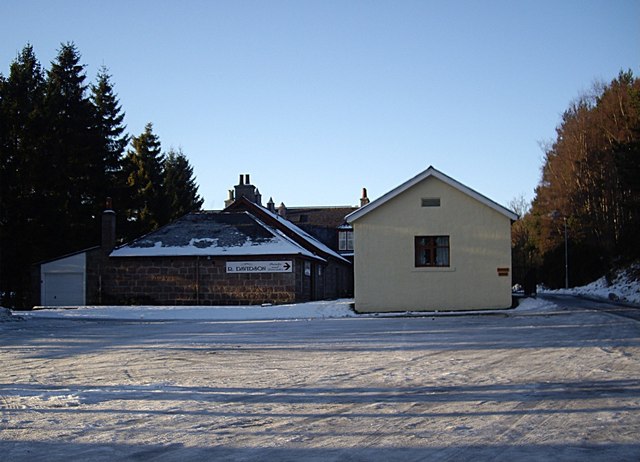
Belts of Collonach Images
Images are sourced within 2km of 57.026984/-2.518157 or Grid Reference NO6892. Thanks to Geograph Open Source API. All images are credited.
Belts of Collonach is located at Grid Ref: NO6892 (Lat: 57.026984, Lng: -2.518157)
Unitary Authority: Aberdeenshire
Police Authority: North East
What 3 Words
///woodstove.reveal.blocks. Near Banchory, Aberdeenshire
Nearby Locations
Related Wikis

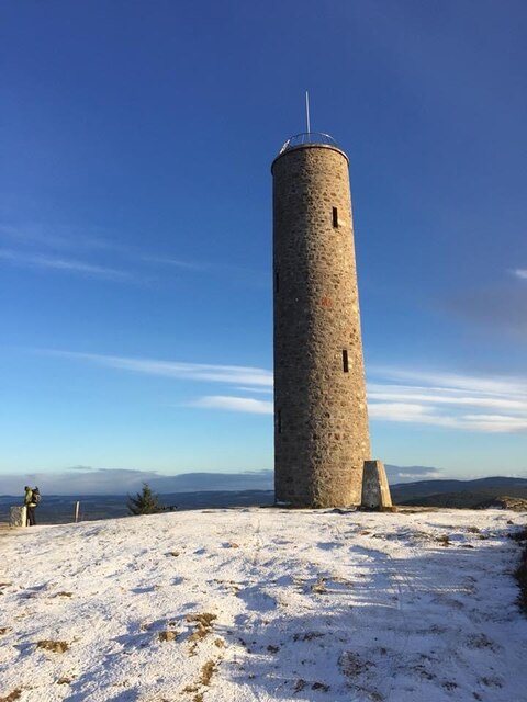
Scolty Hill
Scolty Hill is a small hill south of the Deeside town, Banchory. Its best known feature is the 20m tall tower monument, built in 1840 as a memorial to...

Strachan, Aberdeenshire
Strachan is a village in Aberdeenshire, Scotland that lies along the Water of Feugh, a tributary of the River Dee, Aberdeenshire, a few miles southwest...

Braehead, Banchory
Braehead, Banchory is a proposed major housing development to the south of Banchory, Aberdeenshire, Scotland. The site is home to Braehead farm, formerly...
Kinneskie Road drill hall, Banchory
The Kinneskie Road drill hall is a former military installation near Banchory, Scotland. == History == The building was designed as the headquarters of...
Nearby Amenities
Located within 500m of 57.026984,-2.518157Have you been to Belts of Collonach?
Leave your review of Belts of Collonach below (or comments, questions and feedback).